The best MTB trails around Cervens
4.3
(308)
1,560
riders
120
rides
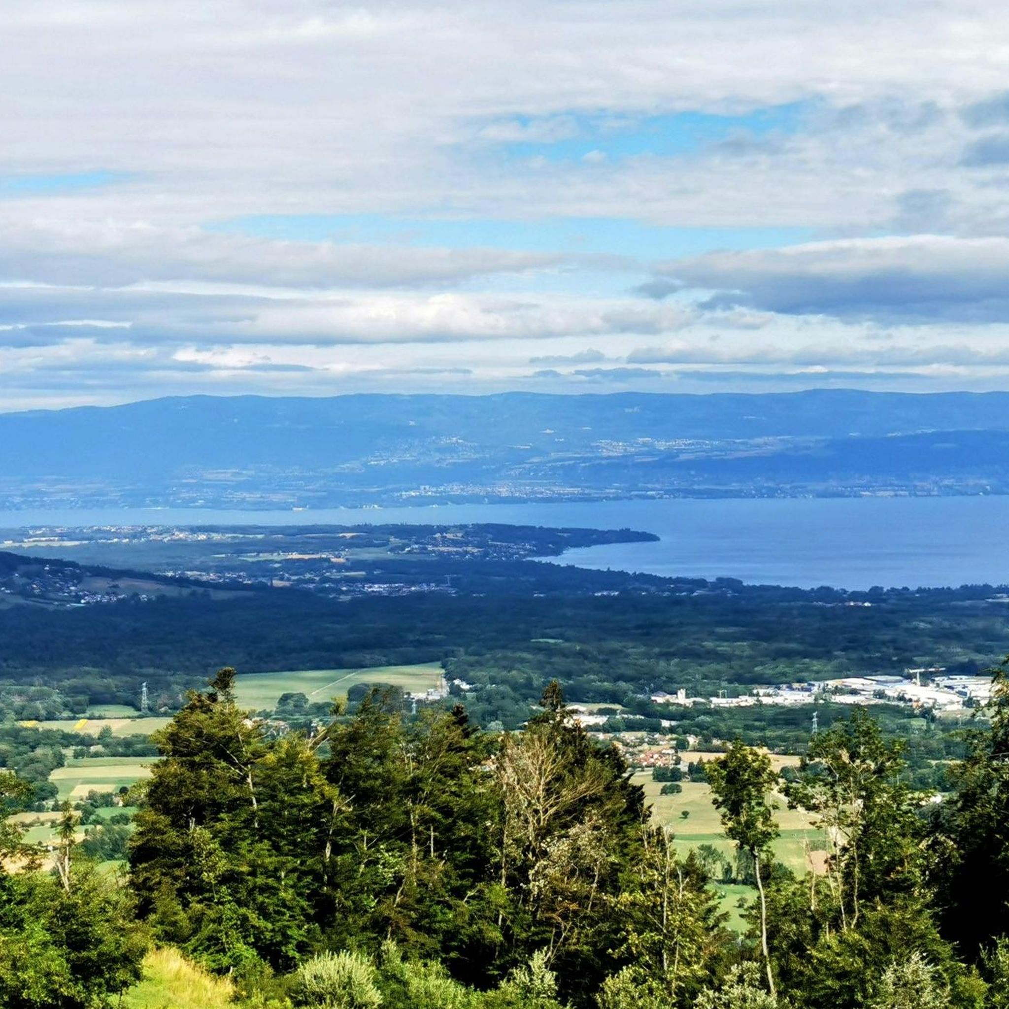
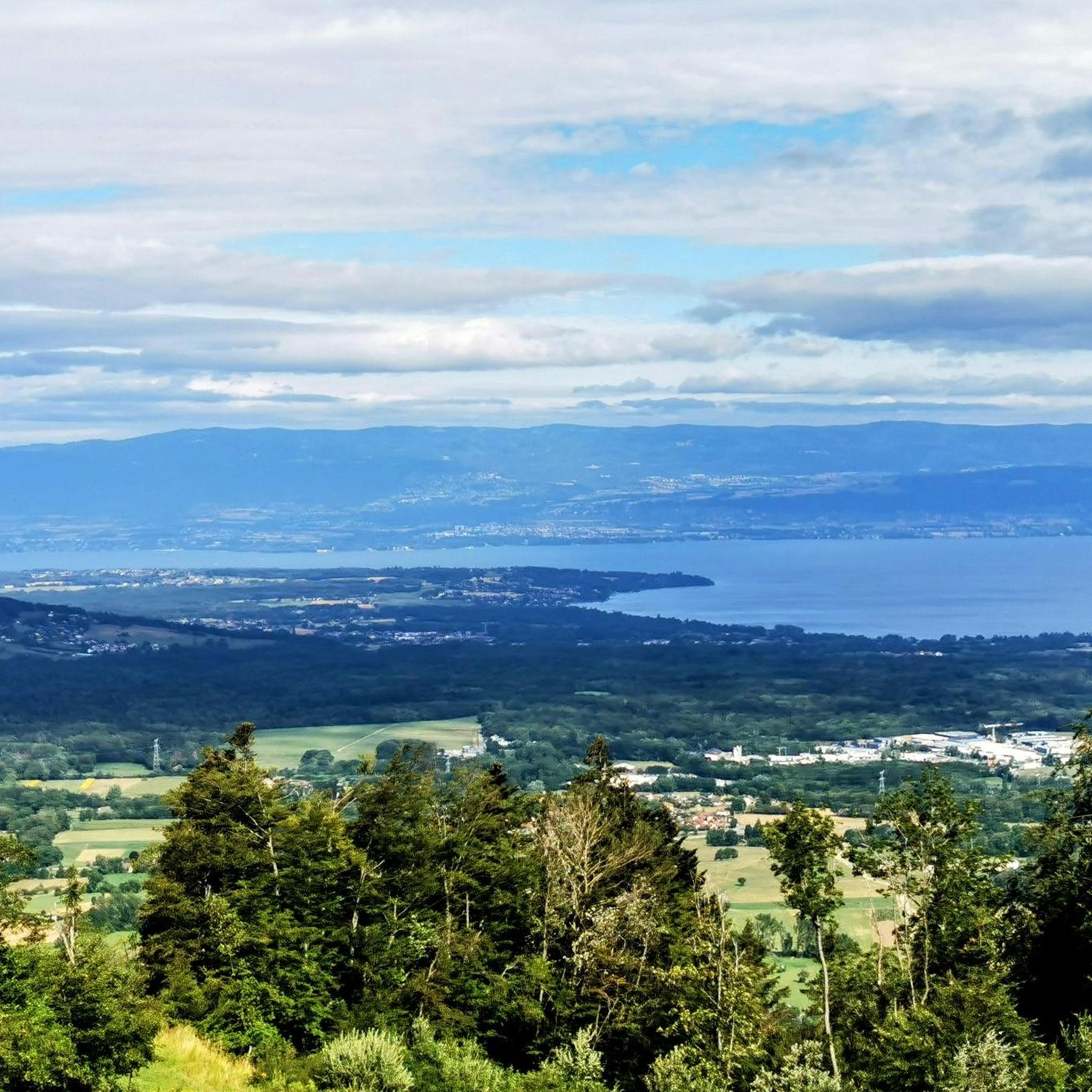
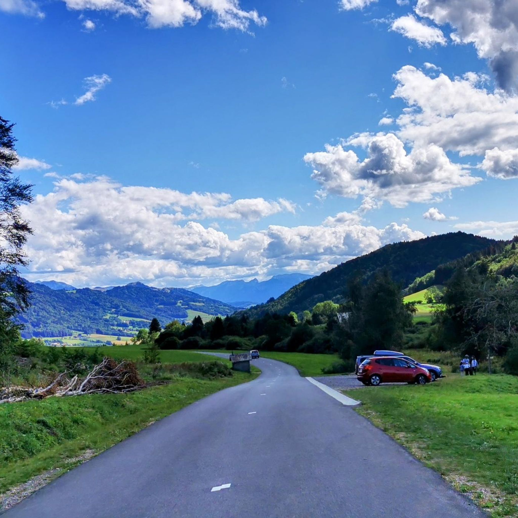
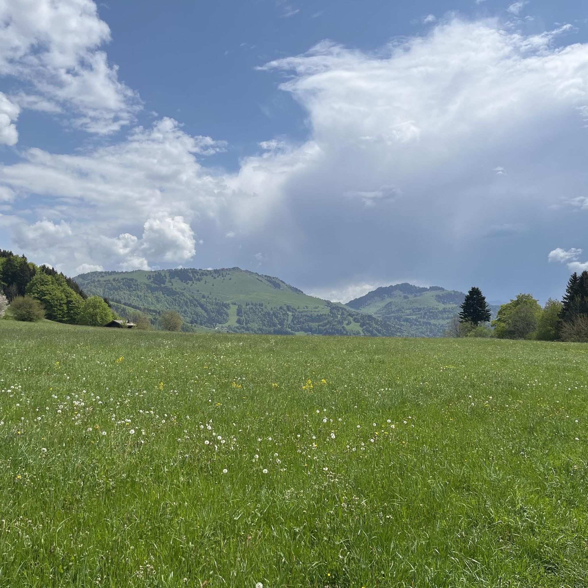
Mountain bike trails around Cervens are situated in the Haute-Savoie department of France, within the Chablais region. The area features a diverse landscape, ranging from 565 meters to a peak of 1230 meters at Crêt Vernay, offering varied terrain for mountain biking. Riders can expect forested ascents, valleys, and views of the Massif du Chablais and Lake Geneva. The presence of the Col de Cou at 1117 meters provides significant points for cyclists.
Best mountain bike trails around Cervens
- The…
Last updated: October 1, 2026
4.2
(11)
49
riders
31.2km
02:44
670m
670m
Moderate mountain bike ride. Good fitness required. Advanced riding skills necessary.
4.3
(8)
33
riders
34.1km
03:00
720m
720m
Moderate mountain bike ride. Good fitness required. Suitable for all skill levels.

4.7
(3)
25
riders
31.8km
03:22
1,050m
1,050m
Hard mountain bike ride. Very good fitness required. Advanced riding skills necessary. Some portions of the route may require you to push your bike.
3.6
(5)
15
riders
25.6km
02:24
600m
600m
Hard mountain bike ride. Good fitness required. Advanced riding skills necessary. Some portions of the route may require you to push your bike.
4.3
(3)
9
riders
22.6km
02:22
760m
760m
Moderate mountain bike ride. Good fitness required. Advanced riding skills necessary.
Get access to more routes and recommendations from other explorers.
Already have an account?
Our route recommendations are based on thousands of hikes, rides, and runs completed by other people on komoot.
Start today with a free account
Your next adventure awaits.

Tips from the Community

The Church of Saint Andrew in Saint-André-de-Boëge is a French Catholic church located in the Haute-Savoie department, in the commune of Saint-André-de-Boëge. An earlier church is documented dating back to around the 12th century. The church was built between 1855 and 1858[1]. It was constructed in a Sardinian Neoclassical style. In 1987, the building was completely renovated and the paintings were redone.
0
0
Intersection point Pont des Prés Altitude 766m
1
0
Intersection point Bois Pinget Altitude 754m
1
0
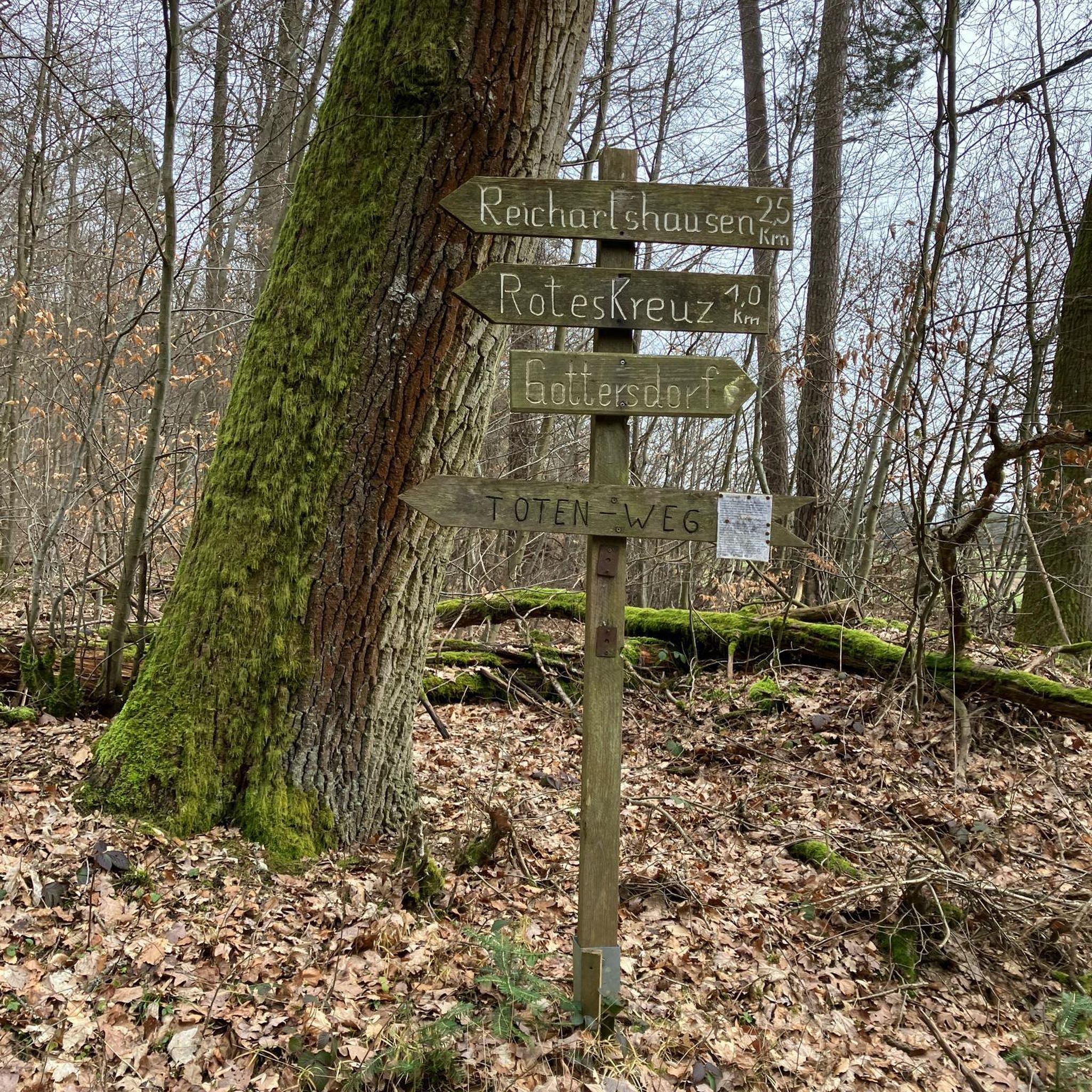
Intersection Point: La Gouille aux Morts (Pond of the Dead) Altitude 650m Gouille aux Morts: What an ugly name for this charming little pond. Beavers, mallards, herons, and especially frogs take shelter in its tall grass and breed there. The place is calm and peaceful, far from the road to the Vallée Verte (Green Valley), although you can still hear the sounds of traffic. Above it, the Molière à Vachat stream is mirrored in its waters. Its reflection blends with the water lilies scattered there, creating perfect harmony. A delight for the eye of the walker. It's impossible not to think of Monet's "Water Lilies." It is said that, long ago, two stonemasons working at the "Molière," located about fifty meters above, fell to their deaths there on a Sunday (yes, a Sunday...the Lord's Day). See: H. Savoie: Les Molières du Mont Vouan. Or perhaps the pond got its name because a peasant was swallowed up there with his cart...
1
0
Boisinges intersection (Roman road) Altitude 700m
1
0
Frequently Asked Questions
How many mountain bike trails are available around Cervens?
There are over 100 mountain bike trails around Cervens, offering a wide range of options for different skill levels. The area features 8 easy routes, 55 moderate routes, and 49 difficult routes.
What kind of terrain can I expect on mountain bike trails in Cervens?
Mountain biking in Cervens offers diverse terrain, from lower, gentler areas to more challenging, higher-altitude sections. You can expect forested ascents, valleys, and panoramic views of the Massif du Chablais and Lake Geneva. The region's elevation ranges from 565 meters to 1230 meters at Crêt Vernay.
Are there any family-friendly mountain bike trails in Cervens?
Yes, Cervens offers 8 easy mountain bike routes suitable for families or those looking for a less strenuous ride. These trails typically feature gentler gradients and less technical sections, allowing for an enjoyable outing for all skill levels.
What are some challenging mountain bike trails for experienced riders?
For experienced riders seeking a challenge, Cervens has 49 difficult routes. A notable option is the Plateau de Trécou – 👍 loop from Perrignier, a 33 km path featuring challenging ascents and panoramic views of the surrounding mountains.
What do other mountain bikers enjoy most about the trails in Cervens?
The mountain bike trails around Cervens are highly rated by the komoot community, with an average score of 4.3 stars from over 240 reviews. Riders often praise the varied terrain, the stunning views of the Chablais region and Lake Geneva, and the options available for different ability levels.
Are there any scenic viewpoints or landmarks along the mountain bike trails?
Yes, the region offers several scenic viewpoints and landmarks. You can enjoy beautiful panoramas of the Chablais region and Lake Geneva from "La Pierre à Chalot." Additionally, many routes pass by or offer views of significant points like the Col de Cou, Mount Forchat, and the Jambaz Pass.
Can I find circular mountain bike routes in Cervens?
Many mountain bike routes in Cervens are designed as loops, allowing you to start and finish at the same point. Examples include the moderate Plateau de la Menoge – 👍 loop from Habère-Poche and the Col de Cou – Saxel pass loop from Cervens.
What is the best time of year for mountain biking in Cervens?
The best time for mountain biking in Cervens is generally from spring through autumn. While the local climate is mountainous, with precipitation irregularly distributed in summer, these seasons offer more favorable weather conditions for exploring the trails. Always check local weather forecasts before heading out.
Are there other mountain bike trails near Cervens besides the well-known 'Paradise' trail?
Yes, beyond the 'Paradise' trail, there are numerous other mountain biking options. You can explore routes like Col des Moises – Col du Feu loop from Habère-Lullin, which leads through varied terrain, or the Plateau de Trécou – 👍 loop from Col des Moises. Other trails in the vicinity include 'Descente De La Menoge,' 'Étang,' 'Daranverte,' and 'Le Darandet'.
Are there any mountain passes accessible by mountain bike in the Cervens area?
Yes, the Cervens area is known for its mountain passes, which are popular among cyclists. You can ride to and over passes such as the Col de Cou (1117 meters), Jambaz Pass, Col de Saxel, Col du Feu, and Terramont Pass, often integrated into challenging routes.
Where can I find parking near the mountain bike trailheads in Cervens?
While specific parking locations for every trailhead are not detailed here, Cervens and its surrounding communes like Habère-Poche, Perrignier, and Habère-Lullin, which serve as starting points for many routes, typically offer public parking facilities. It's advisable to check local signage or use navigation apps for specific parking areas near your chosen trailhead.
Most popular routes around Cervens
Most popular attractions around Cervens

Get inspired with the komoot mobile app


Explore more
Browse the best MTB trails in other regions.
