The best walks and hikes around Bionville
4.6
(2398)
12,733
hikers
17
hikes
Hiking around Bionville offers diverse landscapes, from tranquil forest paths to elevated rocky terrain. Situated in the Meurthe-et-Moselle department, the region features a mix of woodlands, open prairies, and winding streams. Its location at the foot of the Vosges Massif provides varied terrain and scenic views. The area also holds historical significance, with trails passing by former border fortifications.
Best hiking trails around Bionville
- The most popular hiking route is Circuit of the Rocks, a 6.4 miles (10.3 km)…
Last updated: August 3, 2026
4.3
(15)
43
hikers
10.3km
03:10
370m
370m
Moderate hike. Good fitness required. Mostly accessible paths. Sure-footedness required.
4.6
(24)
148
hikers
9.48km
02:59
390m
390m
Moderate hike. Good fitness required. Easily-accessible paths. Suitable for all skill levels.

Sign up for free
4.0
(4)
22
hikers
17.1km
05:11
560m
560m
Hard hike. Very good fitness required. Easily-accessible paths. Suitable for all skill levels.
4.6
(5)
16
hikers
7.72km
02:36
370m
370m
Moderate hike. Good fitness required. Mostly accessible paths. Sure-footedness required.
5.0
(1)
8
hikers
24.7km
07:10
650m
650m
Hard hike. Very good fitness required. Easily-accessible paths. Suitable for all skill levels.
Get access to more routes and recommendations from other explorers.
Sign up for free
Already have an account?
Our route recommendations are based on thousands of hikes, rides, and runs completed by other people on komoot.
Start today with a free account
Your next adventure awaits.
Login or Signup
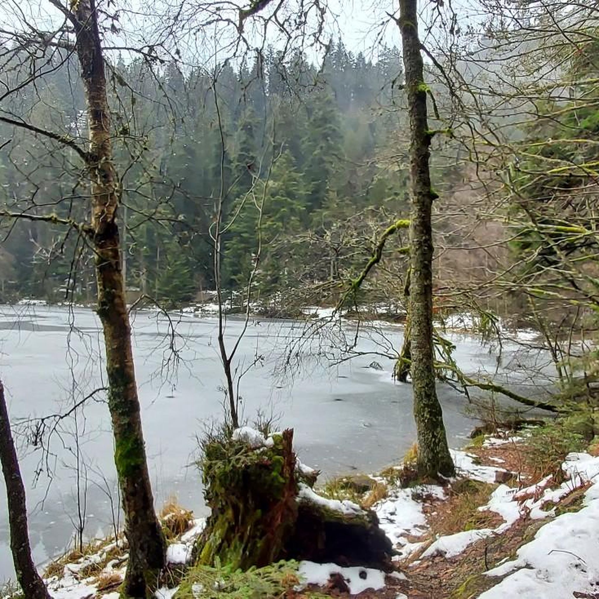
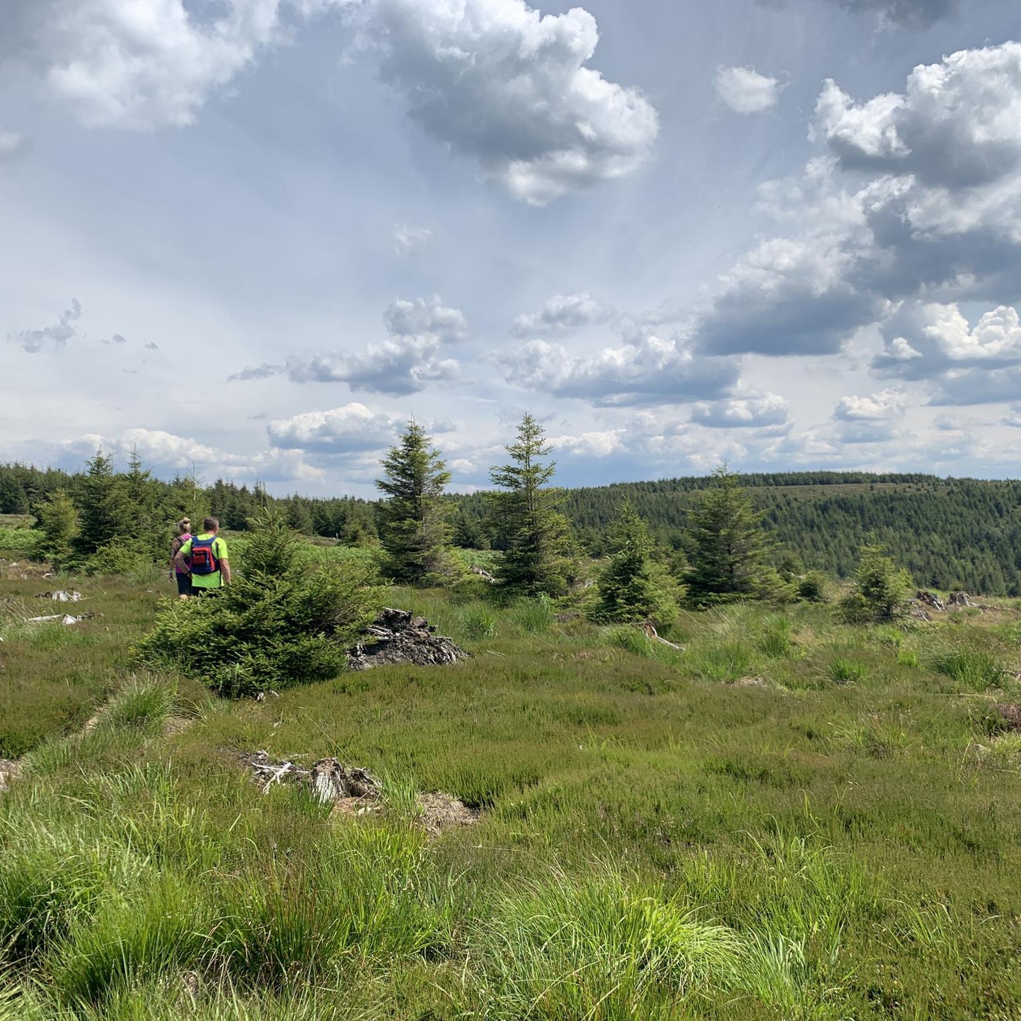
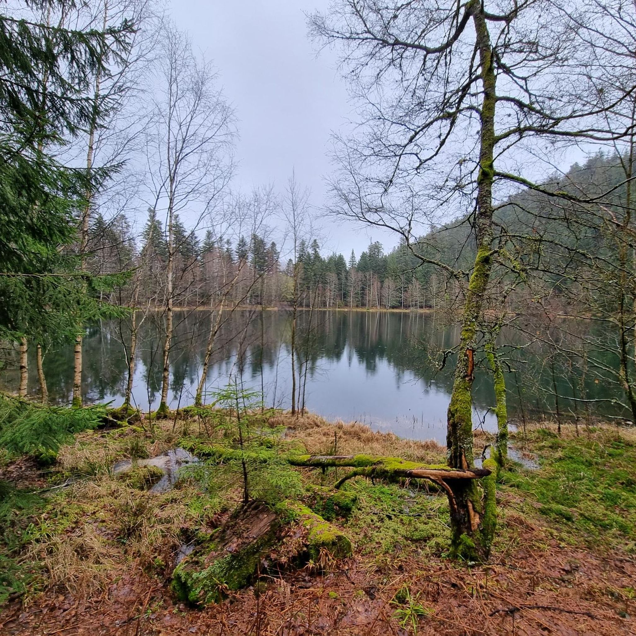

Tips from the Community

Very interesting white fungal growth.
0
1

Beautiful hiking destination, there is also a cycling route
0
0

Sometimes the route is difficult to follow and we couldn't find the path. The view at the top is amazing, though.
0
0
Beautiful climb and lovely view at the pass - Altitude 728m Restaurants (inns) at the pass
0
0

National necropolises keep alive the memory of a dark time: in this case, the First World War in the Donon Massif. In August 1914, fierce fighting took place around Plaine, Saint-Blaise-La-Roche, and the Petit Donon. The battle was about defending strategically important positions. In the necropolises of Plaine, on the Donon, in Grendelbruch, and at the Chapelotte, countless graves bear witness to the relentless nature of the fighting.
1
0

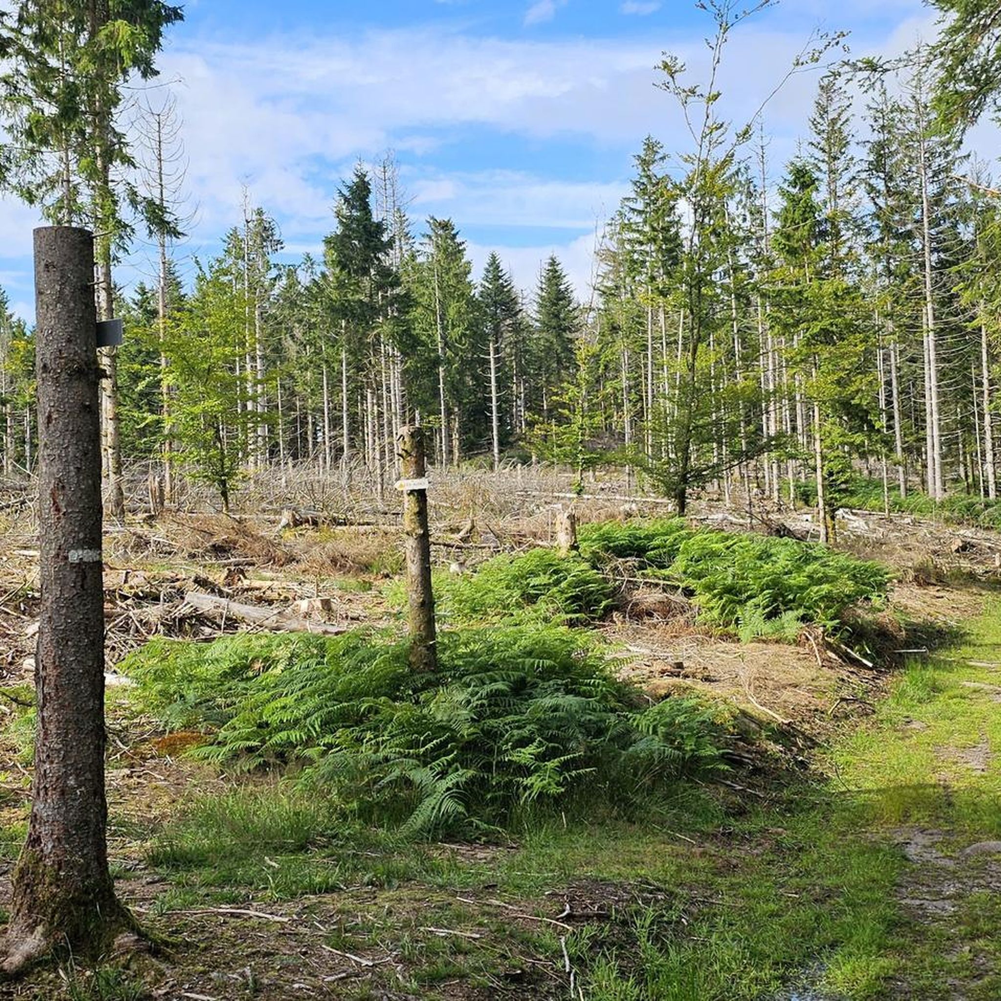
There is an old forest marker along the path. It probably dates back to the 19th century.
0
0

Very nice tour on de donon 🚲
0
0

Frequently Asked Questions
How many hiking trails are available around Bionville?
Bionville offers a diverse network of over 20 hiking trails. These routes cater to various abilities, including easy strolls, moderate loops, and more challenging ascents, allowing you to explore the region's forests, rocky landscapes, and tranquil lakes.
What kind of terrain can I expect on hikes near Bionville?
The terrain around Bionville is quite varied. You'll find predominantly forest paths, but also intriguing rocky elements, open prairies, and winding streams. The region is situated at the foot of the Vosges Massif, so some trails offer elevated sections and scenic views, including towards the Donon peak.
Are there any easy hiking routes suitable for beginners or families?
Yes, there are easy options available. For instance, the Abri loop from Luvigny is an easy 5.4 km trail with minimal elevation gain, perfect for a relaxed walk. The region's diverse network includes routes suitable for various fitness levels.
Can I find circular hiking routes in Bionville?
Many of the trails around Bionville are circular, offering convenient starting and ending points. Popular circular routes include the Circuit of the Rocks, which explores rocky cliffs and forests, and the Rambiroche – Roches Ganaux loop from Bionville, known for its varied forest and rocky terrain.
What natural features or landmarks can I see while hiking in Bionville?
Hiking around Bionville offers a chance to discover several natural and historical landmarks. You can explore areas with ancient rock carvings, such as those found near the Rock with Basins and Grooves. Trails also lead past features like the Fairies' Rock and the Source of the Red Saar. The region's history is also visible, with paths traversing former WWI border fortifications.
Are there any hikes that feature lakes or water bodies?
Absolutely. The Lac de la Maix is a significant natural attraction in the vicinity, offering pleasant hikes. The Lac de la Maix – Roc des Cupules loop from Vexaincourt is a beautiful moderate trail that takes you around the lake and to sites with ancient rock carvings. Many paths around the lake are shaded, making them enjoyable even in warmer weather.
What do other hikers enjoy most about the trails in Bionville?
The hiking trails in Bionville are highly rated by the komoot community, with an average score of 4.6 stars from over 2100 reviews. Hikers often praise the extensive forest cover, the intriguing rocky landscapes, and the tranquil lakes. The diverse network of trails, suitable for various abilities, is also frequently highlighted.
When is the best time of year to go hiking in Bionville?
Bionville offers enjoyable hiking experiences throughout much of the year. The predominantly forest environment provides shade in warmer months, making summer hikes pleasant. Spring and autumn showcase beautiful foliage. While the region is at the foot of the Vosges Massif, it's advisable to check local conditions for winter hiking, as some higher elevation paths might be affected by snow or ice.
Are there any challenging hikes for experienced hikers?
Yes, for experienced hikers seeking a challenge, Bionville offers more difficult routes. An example is the Lac de la Maix – Oratory of the Forest loop from Vexaincourt, which is a difficult 17.2 km trail with significant elevation gain, providing a rewarding experience through varied terrain.
Are there any historical sites or points of interest along the trails?
Yes, Bionville's location as a former border region during WWI means many hiking paths traverse areas of historical significance. You can find routes that follow the former Franco-German border (1870-1918) and pass by remnants of fortifications, blockhouses, trenches, and even graves of soldiers, offering a poignant journey through history.
Is there parking available near the trailheads in Bionville?
While specific parking details for every trailhead are not listed, Bionville serves as a starting point for several well-regarded trails, implying accessible parking options are generally available. For specific routes, it's always recommended to check the individual tour details on komoot for precise starting points and parking information.
Most popular routes around Bionville
Most popular attractions around Bionville

Get inspired with the komoot mobile app


Explore more
Browse the best Hikes in other regions.
