The best walks and hikes around Chevenoz
4.5
(2614)
20,799
hikers
330
hikes
Hiking around Chevenoz offers diverse landscapes in the mountainous Haute-Savoie region of France. The terrain features a mix of forests, rocky sections, and grassy paths, with significant elevation changes. Hikers can find routes traversing valleys and ascending to viewpoints offering panoramas of the surrounding massifs. The area provides a network of trails suitable for various fitness levels, from gentle walks to challenging ascents.
Best hiking trails around Chevenoz
- The most popular hiking route is View from Pointe de Sangeon –…
Last updated: October 28, 2026
4.8
(33)
187
hikers
Moderate hike. Good fitness required. Mostly walkable paths. Sure-footedness required.
4.1
(8)
104
hikers
Moderate hike. Good fitness required. Mostly walkable paths. Sure-footedness required.

5.0
(3)
12
hikers
12.1km
05:01
820m
820m
Hard hike. Very good fitness required. Sure-footedness, sturdy shoes and alpine experience required.
3.5
(2)
50
hikers
7.90km
03:19
530m
530m
Hard hike. Good fitness required. Sure-footedness, sturdy shoes and alpine experience required.
4.3
(3)
7
hikers
5.85km
01:38
110m
110m
Easy hike. Easily walkable paths.
Get access to more routes and recommendations from other explorers.
Already have an account?
Our route recommendations are based on thousands of hikes, rides, and runs completed by other people on komoot.
Start today with a free account
Your next adventure awaits.
Tips from the Community

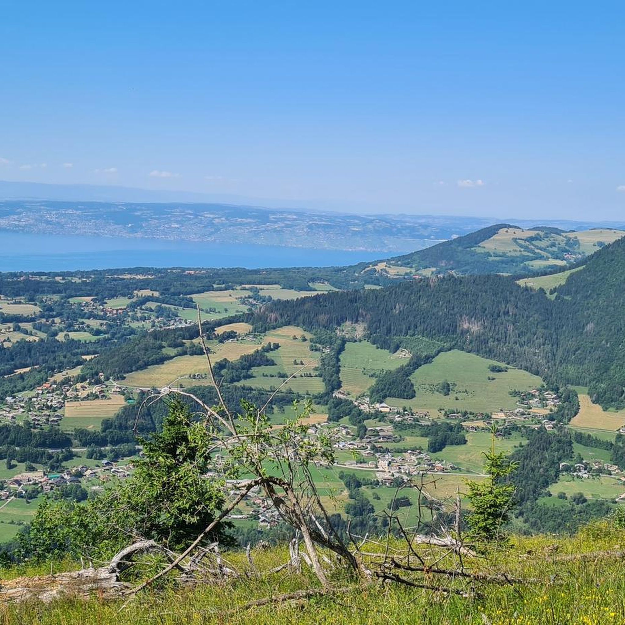
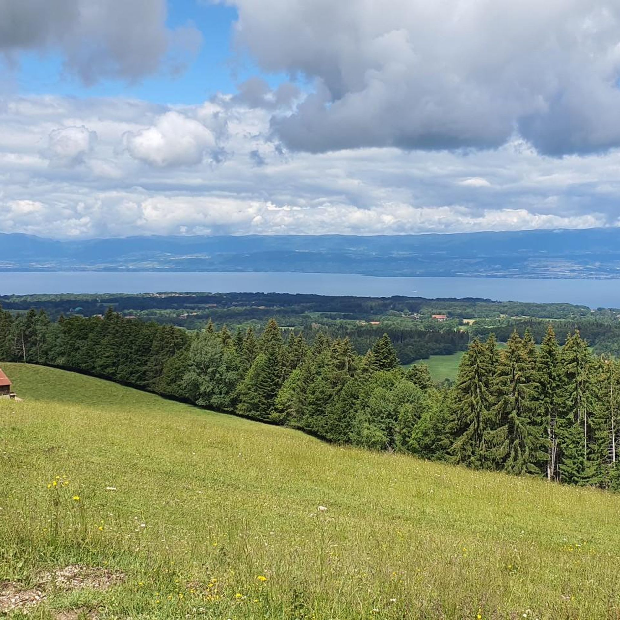
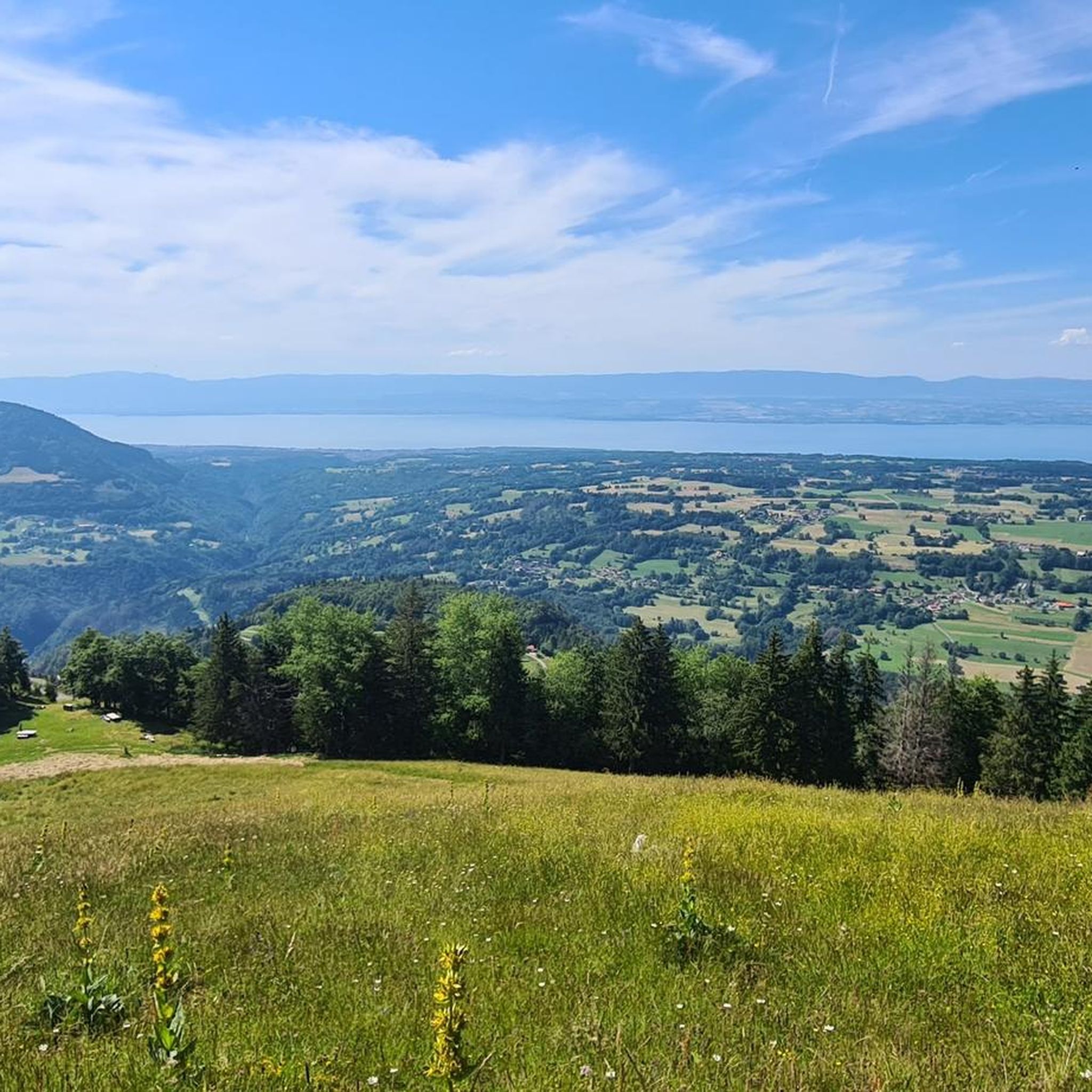
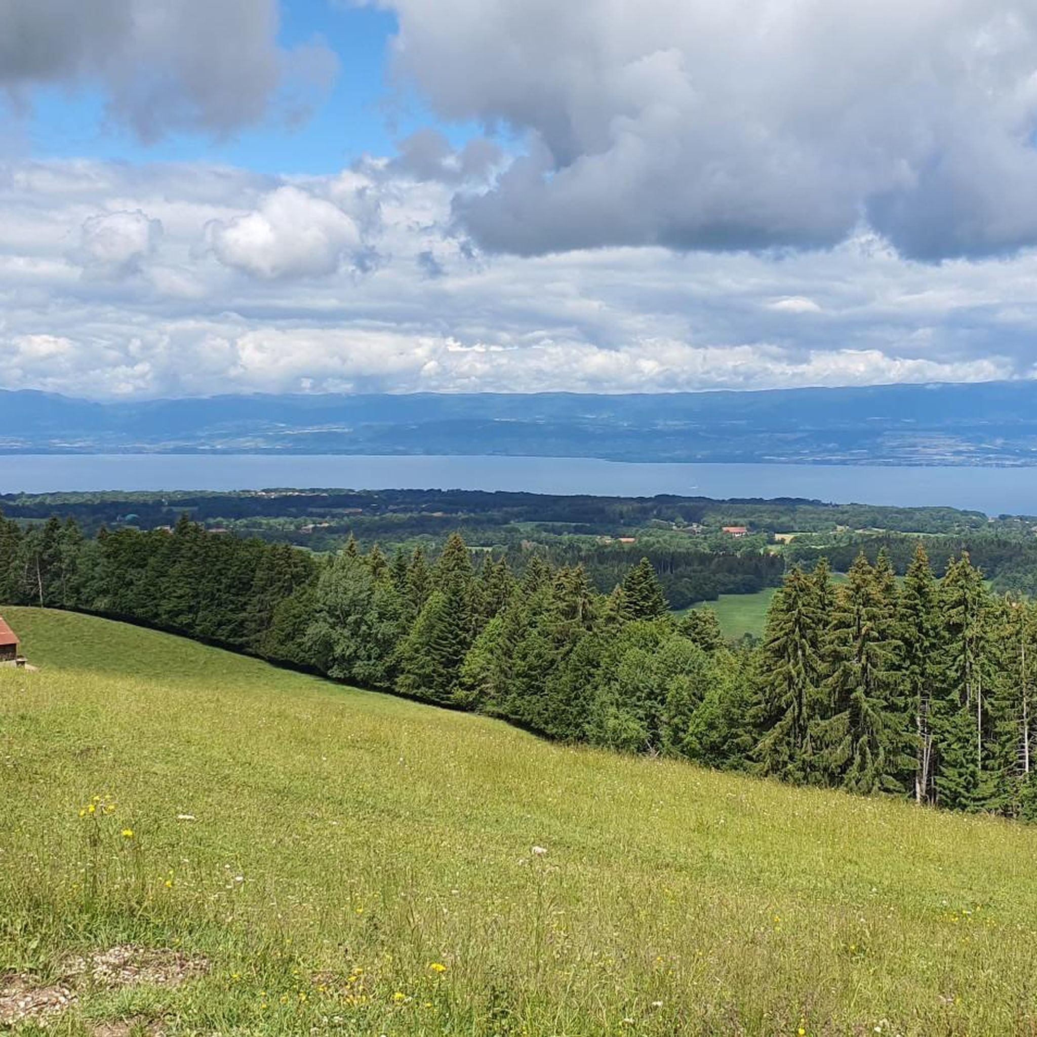
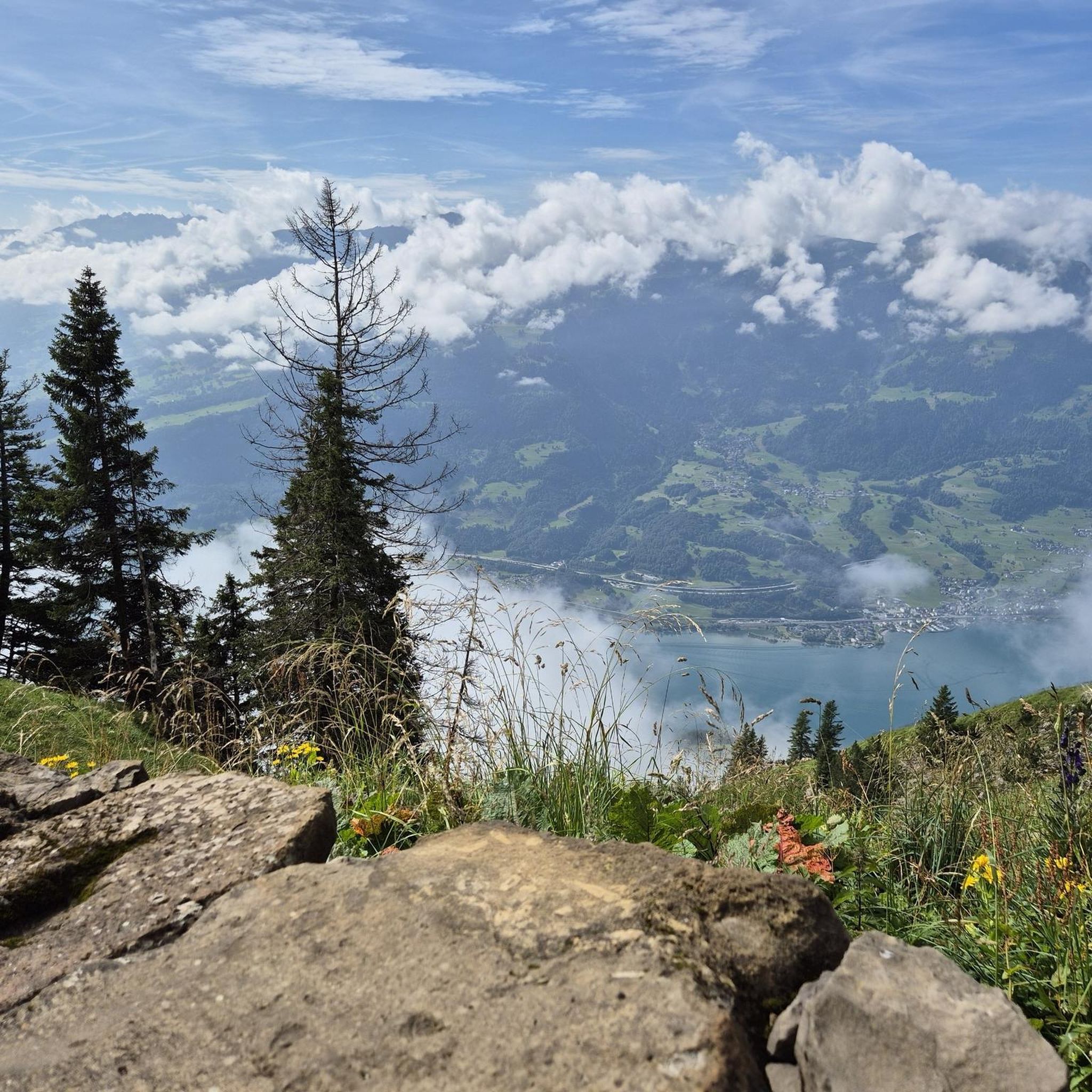
Pointe de Saugeon Very beautiful hike with magnificent panoramas of Lake Geneva and the surrounding mountains. The route offers a beautiful climb to the viewpoints, with a very pleasant alpine atmosphere. A superb outing to enjoy the landscapes of Chablais.
0
0
Excellent starting point for a hike. Convenient and free parking, with a magnificent viewpoint right next door offering a superb view of the valley and Lake Geneva. Ideal starting point for hikes towards Pointe de Sangeon and Pointe de Tréchauffé. Arriving early may be preferable during busy periods.
0
0
A magnificent loop that allows you to discover three summits in the area: the Quevillet (1,445 m), Mont Baron, and Tête des Trèches. From Pré Richard, the route alternates harmoniously between forest paths, alpine pastures, and pleasant ridge sections. After the Quevillet, a discreet viewpoint already offering beautiful views of Lake Geneva and the surrounding mountains, the ascent continues towards Mont Baron, before reaching the peaceful Tête des Trèches. Throughout the hike, the panoramas of Lake Geneva, the Mémises, the Dent d'Oche, and the Chablais summits are magnificent. The Tête des Trèches particularly invites contemplation and calm. A varied, accessible, and landscape-rich hike, which I recommend to all mountain lovers. For me, this outing will also remain the memory of a moment of gratitude for the beauty of creation and a beautiful day spent discovering three new summits.
0
0
A magnificent loop that allows you to discover two emblematic peaks in the area: Mont Baron and Tête des Trèches. From Pré Richard, the route alternates pleasantly between forest paths, alpine pastures, and ridge sections. The ascent is steady and without major difficulty, while the panoramas of Lake Geneva, the Mémises, the Dent d'Oche, and the peaks of the Chablais accompany the hike throughout the course. Tête des Trèches offers a particularly peaceful setting, conducive to contemplation. A varied, accessible hike rich in landscapes, which I recommend to all mountain lovers. For me, this outing will also remain the memory of a moment of gratitude for the beauty of creation and a beautiful day spent discovering two new summits.
0
0

Very beautiful beech forest The hiking trail along the forest is very good to ride. There are orchids at the swamp ponds! Please observe the rules of nature conservation.
0
0

Loop made from the Trechauffe viewpoint, the Pointe de Trechauffe, the Poissât cow farm, the chalets... via the closed section because it is slippery... but passable for expert hikers equipped... beautiful walk.
0
0

In Chablais, Mount Ouzon is the last peak in the Aulps Valley before reaching Lake Geneva. Heading south, it offers a beautiful view of Mont Blanc. No need to climb to the summit to see the roof of Europe, you can stay at the pass.
1
0
More than a parking lot, this place offers a breathtaking view of the Dranse Valley and Lake Geneva. You can walk to the nearby Tréchauffé goat farm to taste their cheeses.
0
0
Frequently Asked Questions
How many hiking trails are available around Chevenoz?
Chevenoz offers a wide selection of hiking opportunities, with over 300 routes available. These trails cater to various fitness levels, from easy strolls to challenging mountaineering routes.
Are there any easy hiking trails suitable for beginners or families in Chevenoz?
Yes, Chevenoz has over 60 easy trails. A great option for a relaxed walk is the Fountain With Shelter loop from Vinzier, which is 3.5 miles (5.7 km) long and takes about 1 hour 35 minutes to complete.
What kind of terrain can I expect on hikes around Chevenoz?
The terrain around Chevenoz is quite varied, featuring a mix of dense forests, rocky sections, and soft grassy paths. You'll find routes traversing valleys and ascending to viewpoints, offering a dynamic hiking experience.
Are there any circular hiking routes in Chevenoz?
Many of the trails in Chevenoz are circular. For example, the moderate View of the Aulps Valley – View from Pointe de Sangeon loop from La Forclaz is a popular 2.9-mile (4.7 km) path that provides scenic vistas across the Aulps Valley.
What are some notable natural features or landmarks to see while hiking in Chevenoz?
Hikers can explore prominent mountain peaks like the Dent d'Oche summit and enjoy picturesque lakes such as Lac de la Case. The region also offers stunning panoramas of the Mont Blanc, Aravis, and Bauges massifs. You might also encounter interesting geological formations like The Gorges of Pont du Diable.
What do other hikers say about the trails in Chevenoz?
The trails in Chevenoz are highly rated by the komoot community, with an average score of 4.5 stars from over 2,000 reviews. Hikers often praise the diverse landscapes, varied terrain, and the stunning views of the surrounding mountains and valleys.
Are there any challenging hikes for experienced hikers in the area?
Yes, Chevenoz offers over 80 difficult routes for experienced hikers. A challenging option is the Mont Baron – On Mt Baron loop from Chevenoz, a 4.9-mile (7.9 km) trail with significant elevation gain, typically taking around 3 hours 20 minutes.
Can I see mountain peaks from the hiking trails in Chevenoz?
Absolutely. Many trails offer breathtaking views of the surrounding mountain peaks. You can often spot the Pic des Mémises Summit Cross and other prominent summits like Pic Boré.
What is the best time of year to go hiking in Chevenoz?
The mountainous region of Haute-Savoie generally offers excellent hiking conditions from late spring through early autumn. During these months, the weather is typically mild, and the trails are clear of snow, allowing access to a wider range of routes and enjoying the full beauty of the alpine meadows and forests.
Are there opportunities for wildlife viewing on the trails?
While not guaranteed, the diverse natural environment around Chevenoz and the broader Haute-Savoie region provides opportunities to spot local wildlife. Hikers in the area, particularly on higher elevation routes, might have the chance to encounter ibexes.
Are there any trails that lead to or pass by traditional chalets?
Yes, some routes will take you through areas with traditional alpine chalets. The View from Pointe de Sangeon – Tréchauffé Chalets loop from La Forclaz is a 5.8-mile (9.4 km) trail that leads through varied terrain, including these charming chalets.
Most popular routes around Chevenoz
Most popular attractions around Chevenoz

Get inspired with the komoot mobile app


Explore more
Browse the best Hikes in other regions.
