The best walks and hikes around Orcier
4.4
(849)
7,281
hikers
229
hikes
Hiking around Orcier offers a diverse landscape characterized by hills, mountain passes, and forested areas. The region provides a variety of trails that traverse different elevations, suitable for various hiking preferences. Hikers can explore paths leading to viewpoints and through natural settings. The terrain includes both gentle slopes and more challenging ascents.
Best hiking trails around Orcier
- The most popular hiking route is FFVL take-off at Très-le-mont – Mount Forchat loop from Lullin, a 4.1 miles (6.6 km) trail…
Last updated: July 25, 2026
4.8
(15)
326
hikers
4.65km
01:31
190m
190m
Easy hike. Great for any fitness level. Easily-accessible paths. Suitable for all skill levels.
4.7
(46)
362
hikers
4.11km
01:21
170m
170m
Moderate hike. Great for any fitness level. Mostly accessible paths. Sure-footedness required.

Sign up for free
4.6
(18)
81
hikers
8.81km
03:10
470m
480m
Moderate hike. Good fitness required. Mostly accessible paths. Sure-footedness required.
4.7
(18)
187
hikers
10.3km
03:29
470m
470m
Moderate hike. Good fitness required. Mostly accessible paths. Sure-footedness required.
4.4
(14)
128
hikers
13.0km
04:30
690m
690m
Moderate hike. Good fitness required. Mostly accessible paths. Sure-footedness required.
Get access to more routes and recommendations from other explorers.
Sign up for free
Already have an account?
Our route recommendations are based on thousands of hikes, rides, and runs completed by other people on komoot.
Start today with a free account
Your next adventure awaits.
Login or Signup

Tips from the Community


Beautiful views into the depths and beyond.
2
0
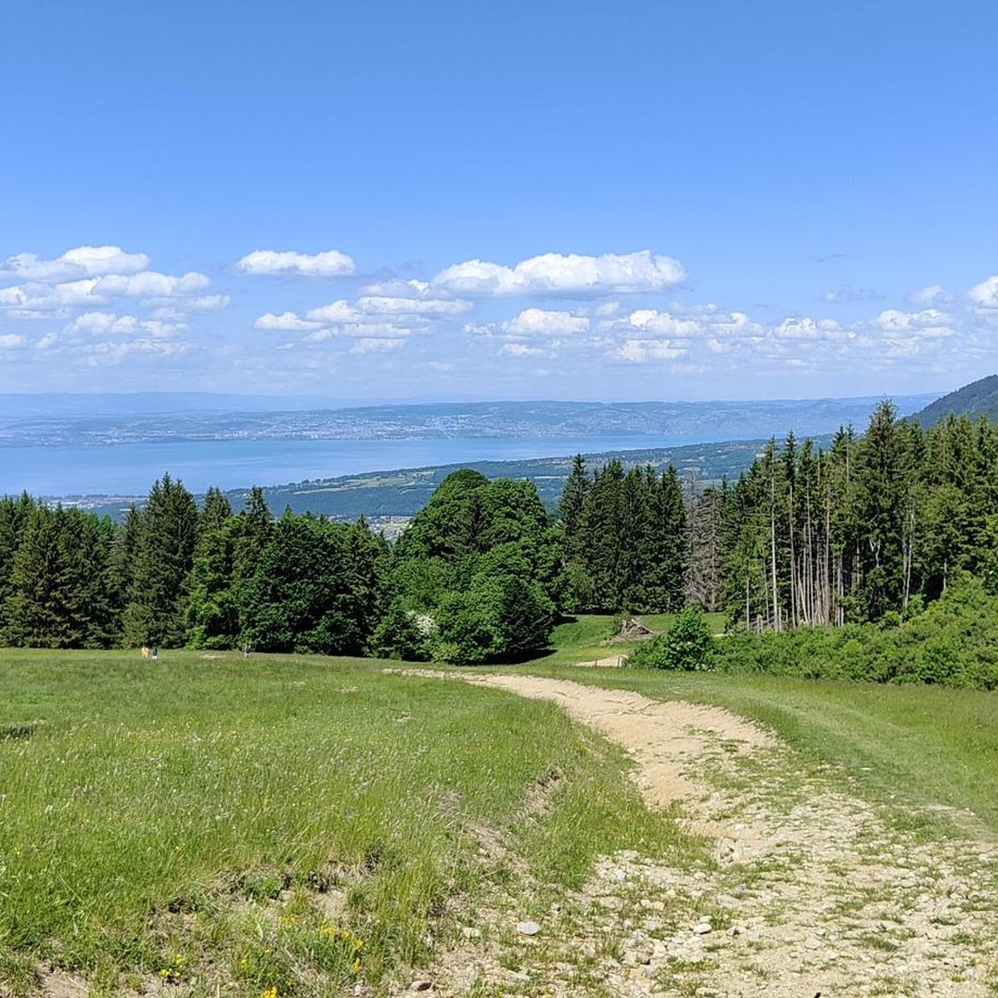
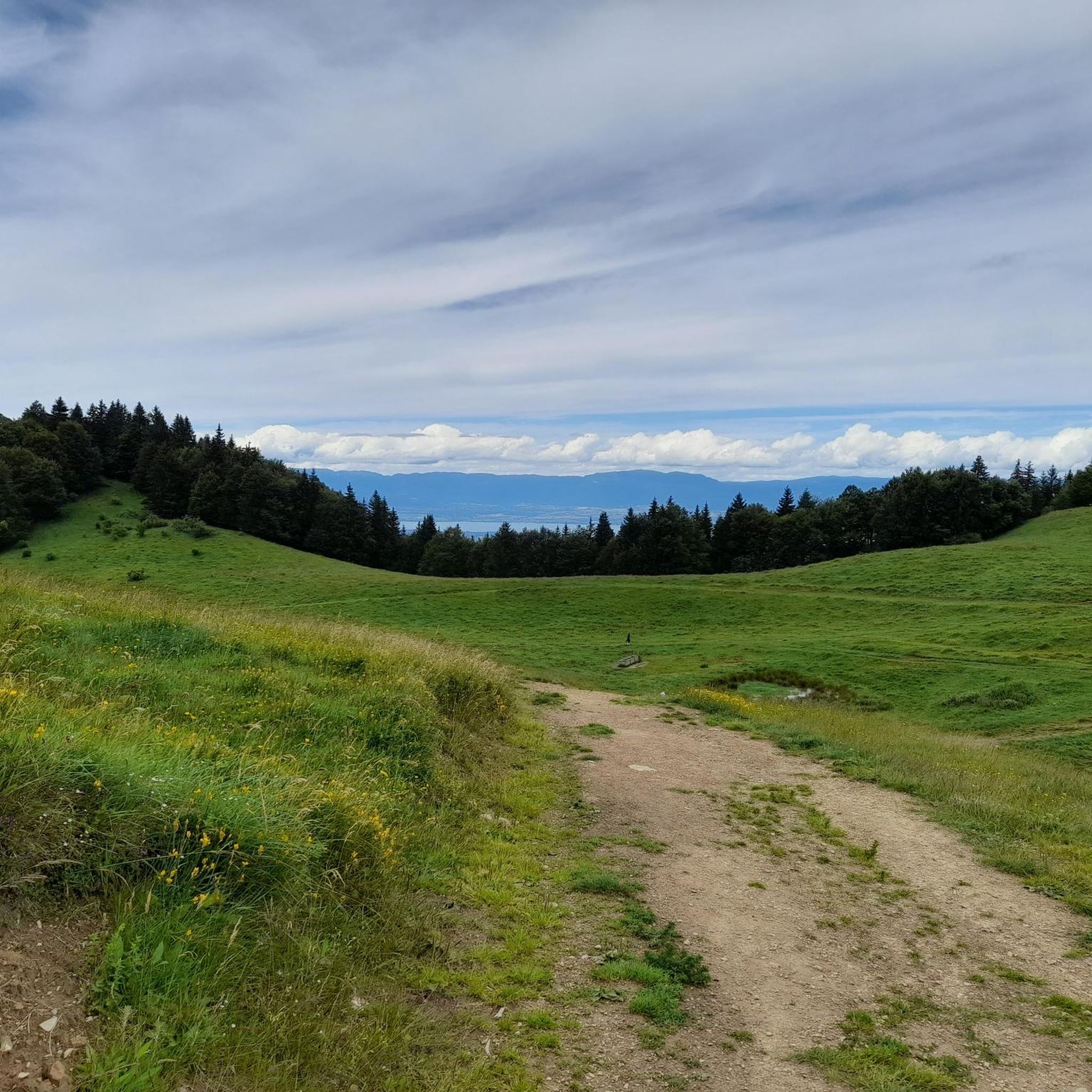
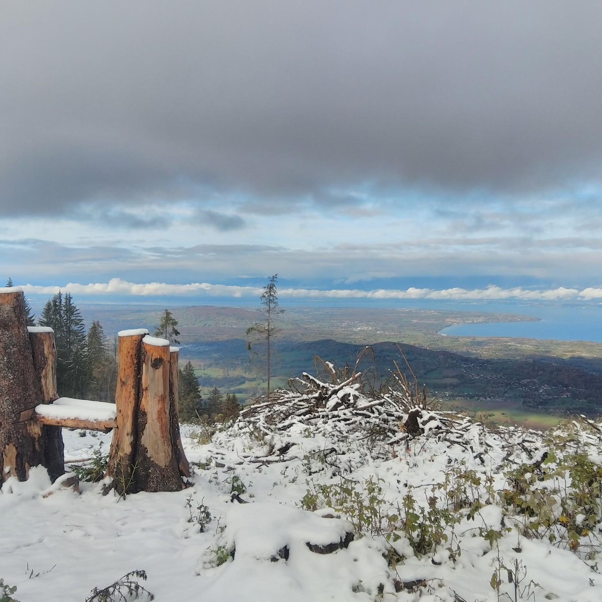
From the chapel you have a great view across to Lake Geneva.
2
0

After the effort, your reward at the top of the Col du Feu is a magnificent view of the peaks of the Chablais massif and Lake Geneva.
1
0

The Notre-Dame-des-Hermones chapel, perched in the Chablais massif, offers an exceptional panorama of the Alps and Lake Geneva. Accessible after a beautiful hike, this small isolated chapel is a peaceful place. Surrounded by alpine meadows and forests, it exudes a rustic charm that will seduce lovers of nature and serenity.
1
0

In addition to the spiritual aspect, there are many benches around this chapel which allow you to eat a frugal (or not) snack.
0
0

The Col de l'Encrenaz is 1429m high, which is 120m lower than the Mont Forchat, which can be easily reached from here. The path is steep, but not so steep that you can't walk any more.
1
0
Très le Mont is a small town from which the hike to Mont Forchat or Très la Paraz starts. Unfortunately, there are no public toilets at the car park, only a restaurant at the end of the town.
0
0
Frequently Asked Questions
How many hiking trails are available around Orcier?
Orcier offers a vast network of over 215 hiking routes, catering to various preferences and skill levels. This includes 77 easy routes, 102 moderate routes, and 36 more challenging trails for experienced hikers.
What types of terrain can I expect on hikes in Orcier?
The terrain around Orcier is quite diverse, characterized by hills, mountain passes, and forested areas. You'll find paths leading to scenic viewpoints, through pristine natural settings, and along both gentle slopes and more challenging ascents. The region benefits from a blend of Alpine and Mediterranean climates, contributing to a rich biodiversity.
What do other hikers say about the trails in Orcier?
The hiking routes in Orcier are highly rated by the komoot community, with an average score of 4.4 stars from over 790 reviews. More than 7,400 hikers have explored Orcier's varied terrain using komoot, often praising the diverse landscapes and well-maintained paths.
Are there easy hiking options suitable for beginners in Orcier?
Yes, Orcier offers 77 easy hiking routes perfect for beginners or those looking for a relaxed walk. An accessible option is the Mount Forchat loop from Col du Feu, an easy 2.7-mile (4.4 km) path that explores the area around Mount Forchat.
What about more challenging hikes for experienced hikers?
For experienced hikers, Orcier provides 36 difficult routes, along with many moderate options. The region, bordering the Écrins National Park, offers opportunities for challenging ascents to peaks exceeding 3000 meters. A moderate option is the Mount Forchat – Encrenaz Pass loop from Draillant, which covers 8.1 miles (13.1 km) with significant elevation gain.
Are there any hikes that feature lakes or water bodies?
Absolutely. The region is known for its beautiful lakes. A significant attraction is the 'Monde des 6 Lacs' (World of the 6 Lakes), an essential hike accessible via the Télémix® from the Drouvet summit. Other notable lakes include Lac des Pisses and Lac des Sirènes. You can find more information about these and other water bodies in the Lakes around Orcier guide.
Can I find hikes with waterfalls in the Orcier area?
Yes, Orcier features several beautiful waterfalls. You can discover the legendary 'Saut du Laïre' near Prapic village, and the impressive 'Cascade de la Pisse' in the Champoléon Valley. Refreshing walks can also be enjoyed along the banks of the Drac River.
What natural landmarks or viewpoints can I discover on the trails?
Orcier offers numerous natural landmarks and stunning viewpoints. The Roc Blanc is an easily accessible summit with expansive views, and Mont Guillaume provides beautiful lake views. The Chabrières Needles offer breathtaking panoramas over Lake Serre-Ponçon. Many trails also lead through picturesque valleys like Champsaur and Valgaudemar, offering balcony views. You can explore various mountain passes, such as Col du Feu, which offer excellent vantage points.
Are there options for multi-day hikes in the Orcier region?
Yes, for more intrepid adventurers, multi-day hikes are available, particularly those leading into the Écrins National Park. These longer routes allow for observation of exceptional wildlife and glaciers, traversing varied landscapes from steep ridges to verdant valleys, and passing through picturesque villages and flower-filled mountain pastures.
Are there any circular walks around Orcier?
Yes, many trails in Orcier are designed as circular routes, allowing you to start and end at the same point. For example, the FFVL take-off at Très-le-mont – Mount Forchat loop from Lullin is a popular 4.1-mile (6.6 km) moderate circular route offering varied terrain and views.
What is the best time of year for hiking in Orcier?
The region is excellent for hiking from spring through autumn, when the weather is generally mild and the trails are clear. During the colder months, Orcier transforms into a winter wonderland with marked routes for snowshoe hiking and groomed trails for winter walks, allowing visitors to enjoy the mountains year-round.
Can I bring my dog on the hiking trails in Orcier?
Many trails in the Orcier region are dog-friendly, especially those outside the core protected areas of Écrins National Park, where regulations for dogs can be stricter. It's always recommended to check specific trail rules beforehand and keep your dog on a leash to protect local wildlife.
Are there any cultural or historical sites to explore while hiking?
Some hiking routes, such as the circular path overlooking the Champsaur valley, offer insights into the cultural heritage of Orcier's hamlets. The preserved village of Prapic is also a notable stop, providing a glimpse into traditional mountain life.
Most popular attractions around Orcier

Get inspired with the komoot mobile app


Explore more
Browse the best Hikes in other regions.
