The best walks and hikes around Contilly
4.5
(86)
459
hikers
78
hikes
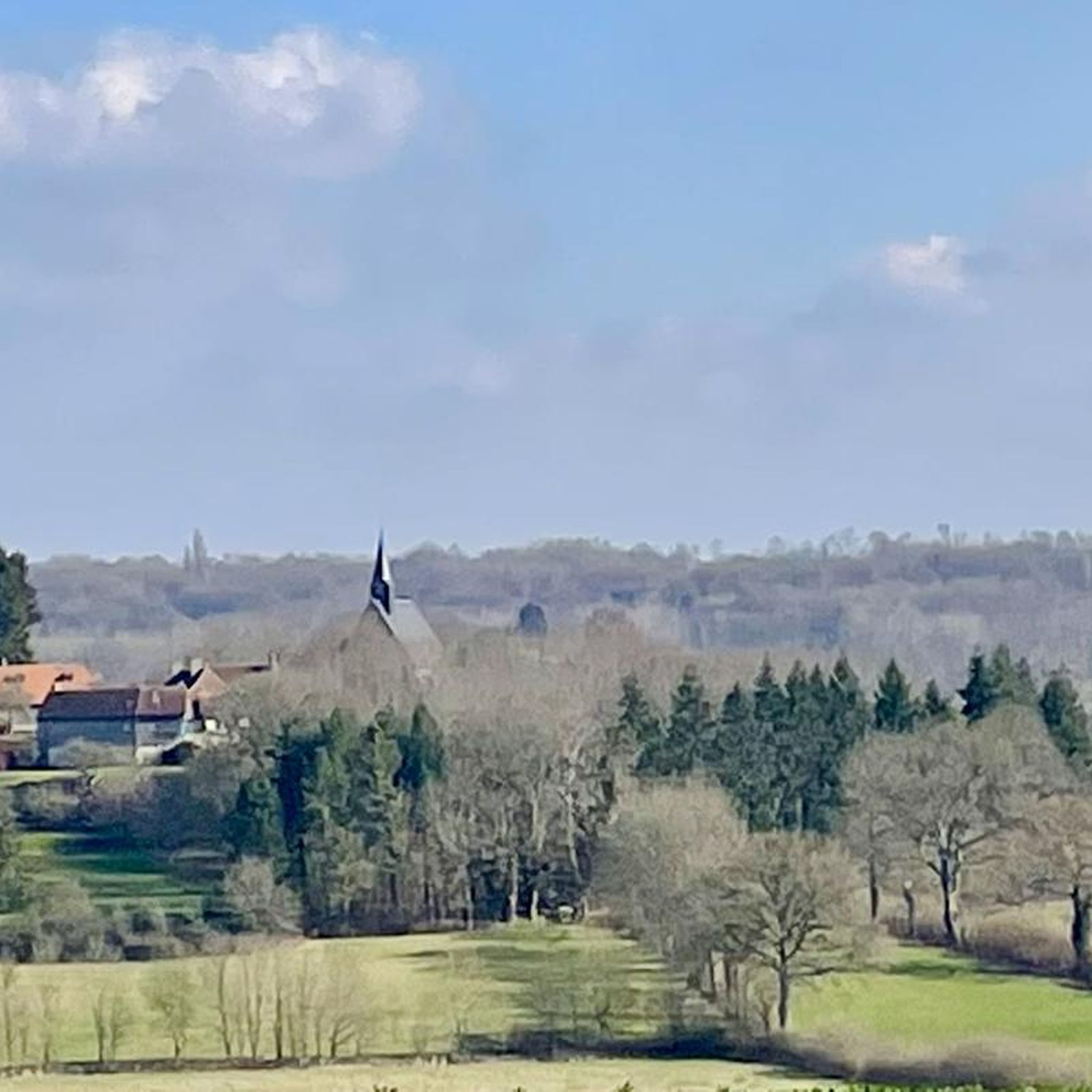
Hiking around Contilly offers exploration within a rural setting in the Sarthe department of Pays de la Loire. The commune features varied terrain with elevations ranging from 138 to 217 meters, including gentle slopes and hills. The surrounding landscape is characterized by agricultural lands, small forests, and natural spaces, benefiting from its proximity to the Perche Natural Park. This area provides opportunities for experiencing the serene countryside.
Best hiking trails around Contilly
- The most popular hiking route is Mare de…
Last updated: May 23, 2026
4.7
(3)
10
hikers
8.81km
02:18
70m
70m
Moderate hike. Good fitness required. Easily-accessible paths. Suitable for all skill levels.
5.0
(2)
8
hikers
6.85km
01:48
60m
60m
Easy hike. Great for any fitness level. Easily-accessible paths. Suitable for all skill levels.

Sign up for free
4.5
(2)
6
hikers
16.6km
04:36
300m
300m
Moderate hike. Good fitness required. Easily-accessible paths. Suitable for all skill levels.
5
hikers
5.67km
01:36
120m
120m
Easy hike. Great for any fitness level. Easily-accessible paths. Suitable for all skill levels.
4.3
(3)
4
hikers
13.6km
03:44
220m
220m
Moderate hike. Good fitness required. Easily-accessible paths. Suitable for all skill levels.
Get access to more routes and recommendations from other explorers.
Sign up for free
Already have an account?
Our route recommendations are based on thousands of hikes, rides, and runs completed by other people on komoot.
Start today with a free account
Your next adventure awaits.
Login or Signup




Tips from the Community

Beautiful climb north of Sarthe
0
0

A must-have that is earned by the strength of the calves. But the climb is in a beautiful wooded environment with the gentle field of birds.
0
0

This 30 meter high tower allows you to admire the canopy of the 5,000 hectare forest in which it is located. The plain of Alençon is also visible there. On the site, it is possible to play molki and badminton or to rent bicycles thanks to the equipment provided. The belvedere opening dates and times are available on the following website: https://www.sarthetourisme.com/patrimoine-culturel/belvedere-de-perseigne/
0
0

Located in the heart of the Perseigne forest, at a height of 30 meters, the Belvedere is built on the highest point of the Sarthe department, at 340 m. It is certainly not an architectural model, but the large surrounding trees hide this large concrete tube, repainted and decorated in order to better integrate. Thus, you have to go a few meters into the forest from the road to see it. It should be noted that this high point and its panoramic view had already been spotted by the occupying troops: in 1943, the German army had set up a listening post there, and an observatory against Allied aviation. Nothing remains today. The new tower dates from 1964.
0
0

The Belvédère de Perseigne is located at the top of the Perseigne forest. From the top of its 340 meters, this belvedere represents the highest point of the Sarthe! It therefore undoubtedly offers a magnificent view of the Sartois as well as the Oregon landscape.
1
0
Frequently Asked Questions
How many hiking trails are available around Contilly?
There are over 70 hiking routes in the Contilly area, catering to various skill levels. You'll find a good mix, with more than 30 easy trails, nearly 40 moderate options, and a few more challenging routes for experienced hikers.
What kind of landscapes can I expect to see while hiking near Contilly?
Hiking around Contilly offers a diverse experience, largely due to its proximity to the Perche Natural Regional Park. You can expect to traverse rolling hills, dense forests, and lush green valleys, often alongside traditional hedgerows. The landscape also features agricultural lands and serene natural spaces.
Are there any easy or family-friendly hiking options in the Contilly area?
Yes, Contilly offers many easy and family-friendly trails. A great option is the Mare de la Lambonnière loop from La Lambonnière, an easy 6.8 km path that explores natural surroundings. The Perche Natural Regional Park also features paths like "La Voie Verte de la Vallée Huisne," a former railway line converted into a greenway, perfect for easy walks.
Can I find circular hiking routes around Contilly?
Absolutely. Many of the trails around Contilly are designed as loops, allowing you to start and finish at the same point. Popular circular routes include the Mare de la Lambonnière loop from Pervenchères and the longer Perseigne Viewpoint loop from Aillières-Beauvoir.
What are some interesting points of interest or landmarks to look out for on hikes near Contilly?
While hiking, you can discover charming villages and historical sites. Notable points of interest include the picturesque village of La Perrière, the historic Monthimer Castle, and the scenic Perseigne Viewpoint, which offers expansive views. You might also encounter the Catholic Church - St-Étienne de Neuchâtel.
What is the best time of year to go hiking in Contilly?
The best times to hike in the Contilly area, particularly within the Perche Natural Regional Park, are during spring (April-June) when wildflowers are in bloom, and autumn (September-November) for pleasant weather and vibrant fall foliage. These seasons offer comfortable temperatures and beautiful scenery.
Are there any trails that offer good viewpoints or panoramic vistas?
Yes, for panoramic views, consider trails that lead to the Perseigne Viewpoint. The Perseigne Viewpoint loop from Aillières-Beauvoir is a moderate 16.6 km trail that specifically takes you towards this scenic spot, offering great opportunities to take in the surrounding landscape.
What do other hikers enjoy the most about hiking in Contilly?
The Contilly area is highly rated by the komoot community, with an average score of 4.6 stars from over 70 reviews. Hikers often praise the varied terrain, the gentle slopes, and the peaceful atmosphere of the small forests, highlighting the serene countryside experience.
Are dogs allowed on the hiking trails around Contilly?
While specific regulations for every trail vary, the Perche Natural Regional Park generally welcomes dogs, often requiring them to be kept on a leash to protect wildlife and ensure the comfort of other visitors. It's always a good idea to check local signage or park guidelines for specific routes.
Are there any long-distance hiking opportunities near Contilly?
Yes, the Perche region is intersected by long-distance trails such as the GR22 and GR35. Additionally, the 220 km "Tour des Collines du Perche" is designed for walkers and can be divided into eight segments, offering extensive options for multi-day hikes or longer excursions from Contilly.
What are the typical trail lengths and difficulties I can expect?
Trail lengths vary significantly, from shorter easy walks like the Perseigne Viewpoint loop from Louzes at 5.6 km, to longer moderate routes such as the Perseigne Viewpoint loop from Les Aulneaux, which is about 13.6 km. The area offers a good range of easy, moderate, and a few difficult trails to suit different fitness levels.
Most popular attractions around Contilly

Get inspired with the komoot mobile app


Explore more
Browse the best Hikes in other regions.
