The best road cycling routes around Blankenfelde-Mahlow
4.4
(1685)
16,019
riders
237
rides
Road cycling around Blankenfelde-Mahlow is characterized by its generally flat terrain, making it suitable for various skill levels. The region features a mix of tree-lined roads, open agricultural areas, and routes that pass near the BER Airport. Elevation gains are minimal, with most routes offering gentle gradients across the landscape.
Best road cycling routes around Blankenfelde-Mahlow
- The most popular road cycling route is Road Along BER Airport – Tree-Lined Road to Tollkrug loop from Lichtenrade, an easy 28.6 miles…
Last updated: October 7, 2026
4.3
(31)
218
riders
Easy road ride. Great for any fitness level. Mostly well-paved surfaces and easy to ride.
4.4
(8)
143
riders
Moderate road ride. Good fitness required. Mostly well-paved surfaces and easy to ride.

4.5
(12)
139
riders
45.0km
01:48
120m
120m
Easy road ride. Great for any fitness level. Mostly well-paved surfaces and easy to ride.
4.3
(8)
91
riders
Moderate road ride. Great for any fitness level. Some segments of this route may be unpaved and difficult to ride.
3.2
(37)
150
riders
Moderate road ride. Good fitness required. Some segments of this route may be unpaved and difficult to ride.
Get access to more routes and recommendations from other explorers.
Already have an account?
Our route recommendations are based on thousands of hikes, rides, and runs completed by other people on komoot.
Start today with a free account
Your next adventure awaits.
Popular around Blankenfelde-Mahlow
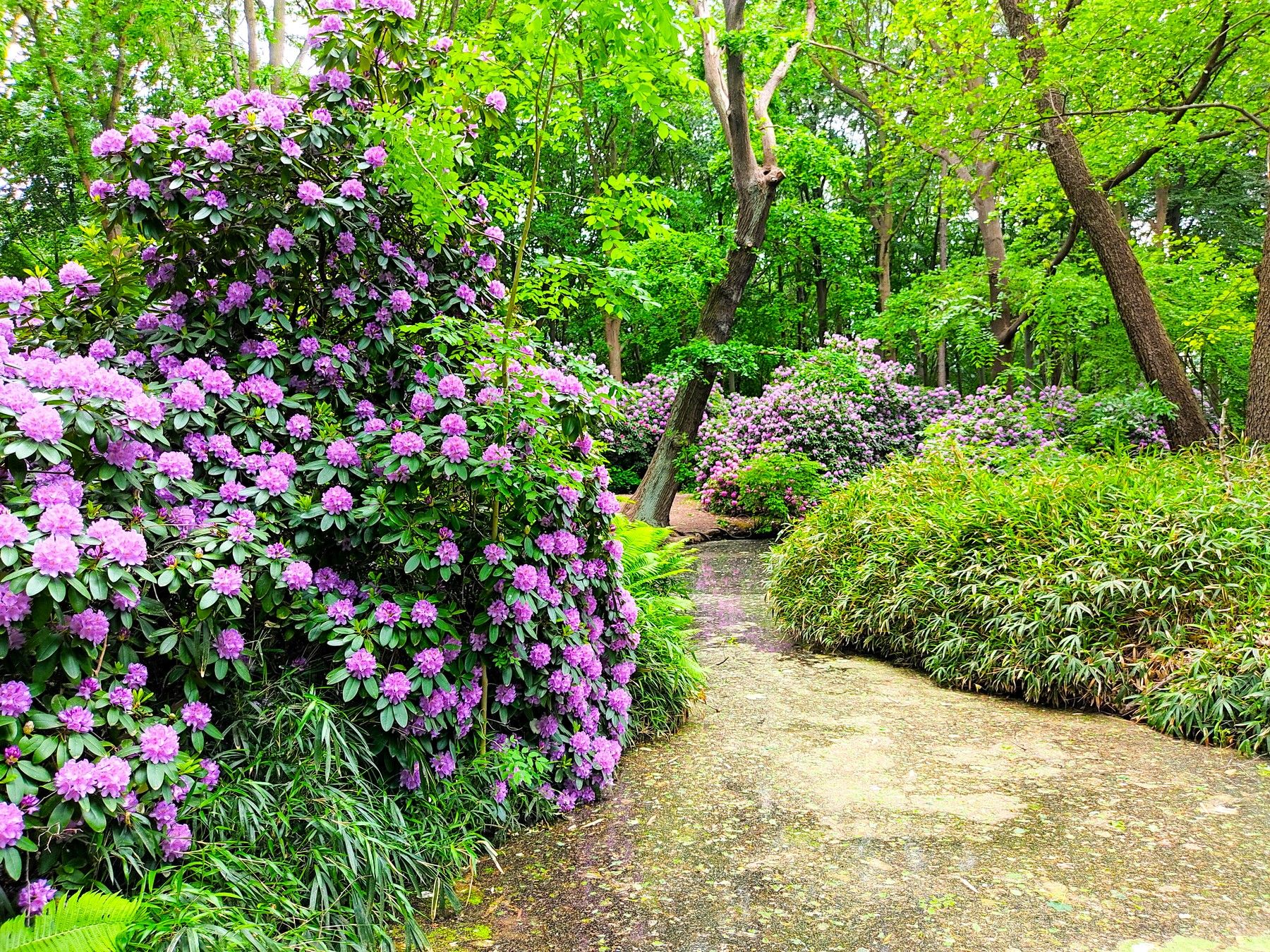
Spring splendour – out and about with the S-Bahn
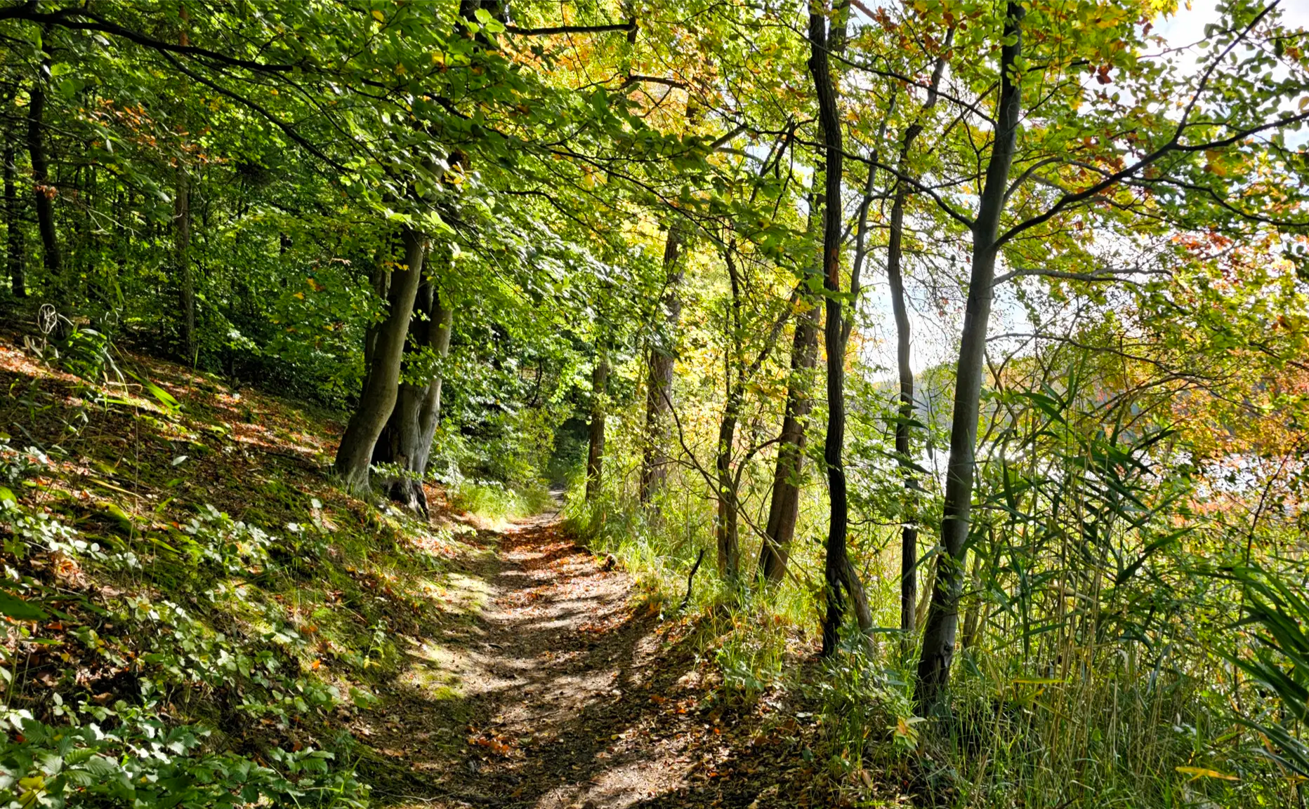
Oak, Beech, Pine & Co — S-Bahn forest tours in early fall
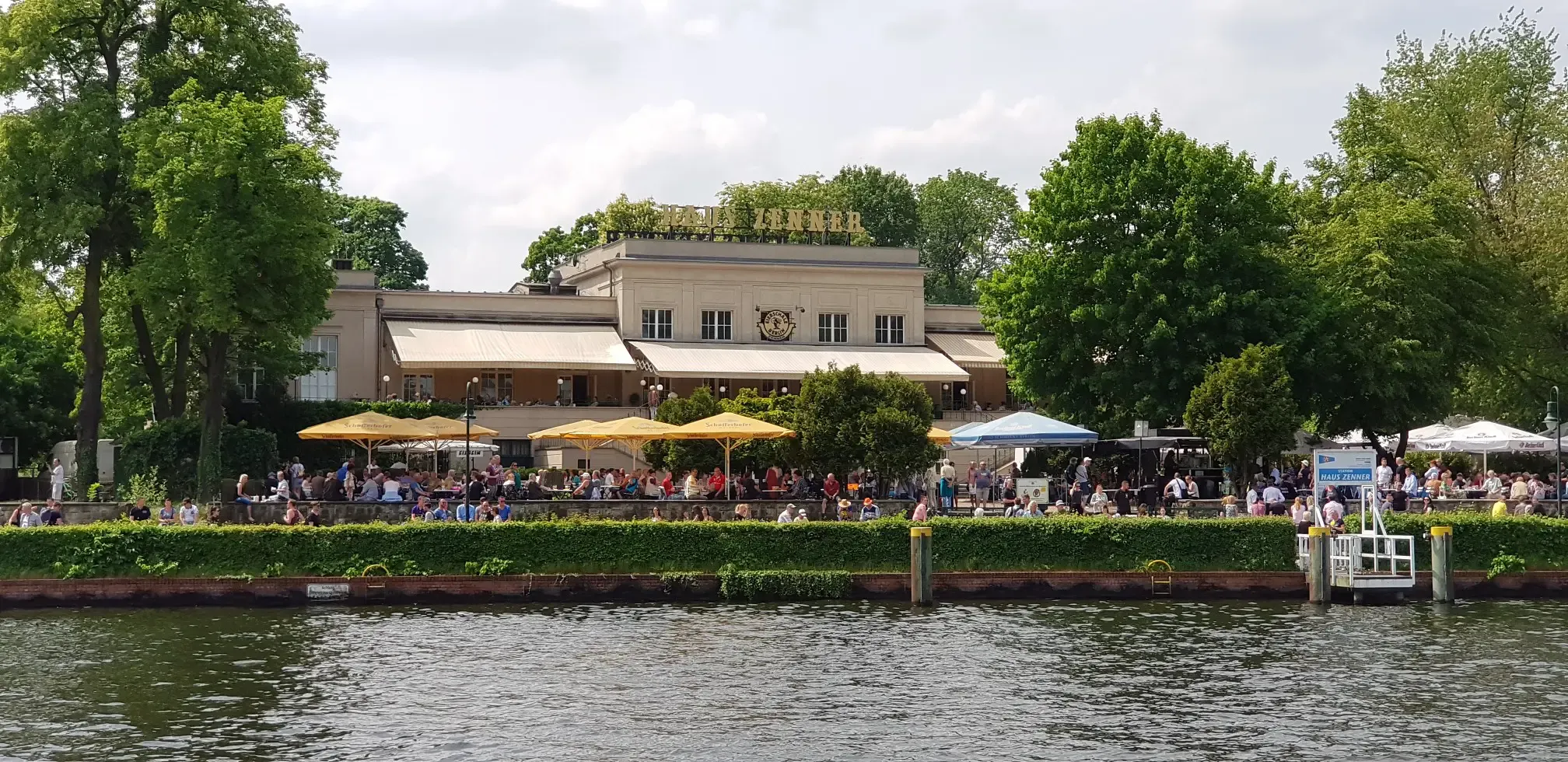
Discovering the best beer gardens in and around Berlin with the S-Bahn
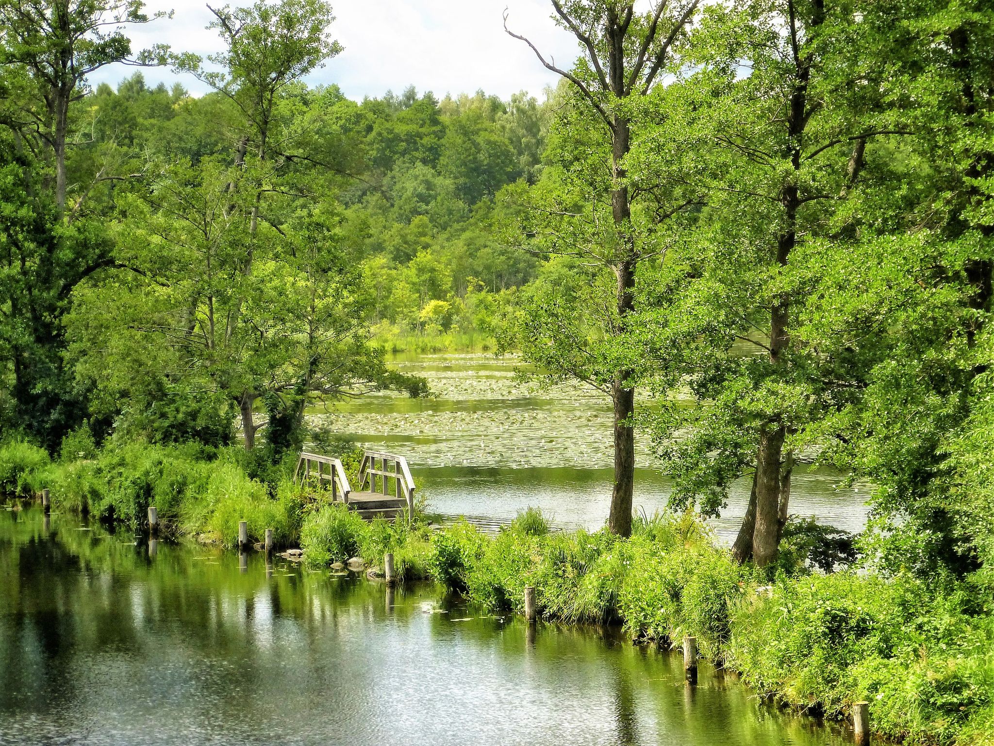
Flow – Follow Berlin’s streams with the S-Bahn
Mehrtagesradtouren in Deutschland und angrenzenden Ländern
Hiking around Blankenfelde-Mahlow
Cycling around Blankenfelde-Mahlow
Running Trails around Blankenfelde-Mahlow
MTB Trails around Blankenfelde-Mahlow
Gravel biking around Blankenfelde-Mahlow
Other adventures around Blankenfelde-Mahlow


Tips from the Community

Easy to drive, moderate traffic
0
0
Hardly any traffic, recommended
0
0

Well developed, great to drive
0
0

Here you can see the beautiful airplanes
0
0

great route, highly recommended
0
0

Well-paved country road L732 between Groß Schulzendorf and Jühnsdorf
1
0

Can we please take a moment and simply appreciate just how well the wheels roll on this road? :) I mean, the asphalt on the dedicated cycling path on this segment is already very good, but the road itself is just next level (as of early 2025, at least).
0
0

Class designed underpass under the Dresden railway.
5
0
Frequently Asked Questions
What is the general terrain like for road cycling in Blankenfelde-Mahlow?
The Blankenfelde-Mahlow region is characterized by its generally flat terrain, making it suitable for various skill levels. You'll find a mix of tree-lined roads, open agricultural areas, and routes that pass near the BER Airport. Elevation gains are minimal, with most routes offering gentle gradients across the landscape.
How many road cycling routes are available in Blankenfelde-Mahlow?
There are over 240 road cycling routes around Blankenfelde-Mahlow, offering a wide variety of options for different preferences and skill levels. This includes 64 easy routes, 165 moderate routes, and 14 more challenging options.
Are there any easy or beginner-friendly road cycling routes in the area?
Yes, Blankenfelde-Mahlow offers numerous easy routes perfect for beginners or those seeking a relaxed ride. One popular option is the Road Along BER Airport – Tree-Lined Road to Tollkrug loop from Lichtenrade, an easy 46 km trail with minimal elevation gain.
What kind of distances and elevations can I expect on road cycling routes here?
Routes in Blankenfelde-Mahlow typically range from 40 to 60 kilometers in distance, with minimal elevation changes. For example, the Tree-Lined Road to Tollkrug – Road Along BER Airport loop from Lichtenrade covers about 49.4 km with only around 130 meters of ascent, making it ideal for consistent pacing.
Are there any circular road cycling routes in Blankenfelde-Mahlow?
Many of the road cycling routes in Blankenfelde-Mahlow are designed as loops, allowing you to start and end at the same point. An example is the Along the Runway (BER Airport) – Tree-Lined Road to Tollkrug loop from Rotberg, a moderate 52.5 km circular trail.
What can I see along the road cycling routes in Blankenfelde-Mahlow?
Beyond the open fields and tree-lined avenues, you can explore various points of interest. Consider routes that pass by the Berlin Wall Trail Along the Teltow Canal or the Water Buffalo Meadows Berlin. During spring, some routes offer views of the beautiful TV Asahi Cherry Blossom Avenue.
What do other road cyclists enjoy most about cycling in Blankenfelde-Mahlow?
The area is highly rated by the komoot community, with an average score of 4.5 stars from over 1300 reviews. Reviewers often praise the flat, well-maintained roads, the scenic views of the BER Airport perimeter, and the peaceful agricultural landscapes that make for enjoyable, consistent rides.
Are there any routes that offer scenic viewpoints?
While the region is generally flat, some routes offer pleasant vistas, particularly those near the BER Airport or through open agricultural areas. For a specific viewpoint, you might find the Dörferblick Viewpoint interesting, which can be incorporated into longer rides.
What is the best time of year for road cycling in Blankenfelde-Mahlow?
Spring, summer, and early autumn are generally the best times for road cycling in Blankenfelde-Mahlow. The weather is typically mild, and the landscapes are vibrant. Spring offers the added beauty of cherry blossoms along certain sections, such as the Japanese Cherry Blossoms on the Berlin Wall Trail.
Are there any moderate or advanced road cycling routes for experienced riders?
Yes, while many routes are easy, there are 165 moderate and 14 difficult routes for more experienced cyclists. A moderate option is the Barn Quarter Mittenwalde – Tree-Lined Road to Tollkrug loop from Rangsdorf, which covers nearly 60 km with slightly more elevation.
Are there routes that pass by the BER Airport?
Many routes in Blankenfelde-Mahlow offer unique perspectives of the BER Airport. For example, the BER Perimeter Cycle Path – Galgenberg Cycle Path loop from Rangsdorf provides a dedicated route around the airport's perimeter, offering distinct views.
Most popular routes around Blankenfelde-Mahlow
Most popular attractions around Blankenfelde-Mahlow

Get inspired with the komoot mobile app


Explore more
Browse the best Road cycling routes in other regions.
