The best walks and hikes around Habère-Lullin
4.5
(1153)
10,054
hikers
12
hikes
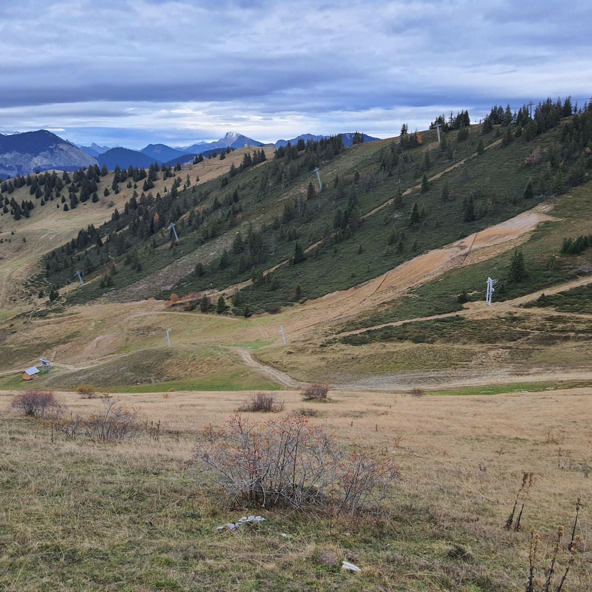
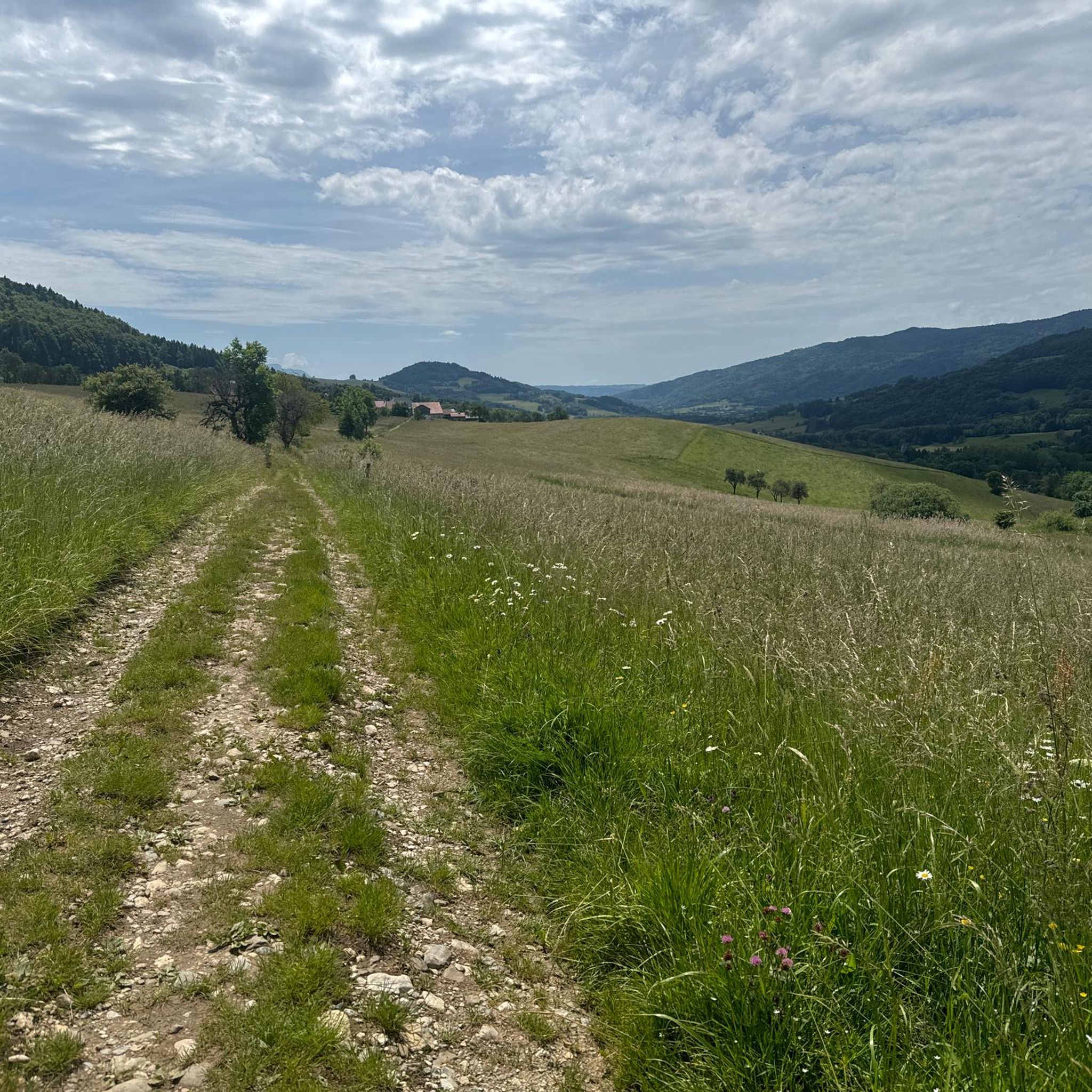
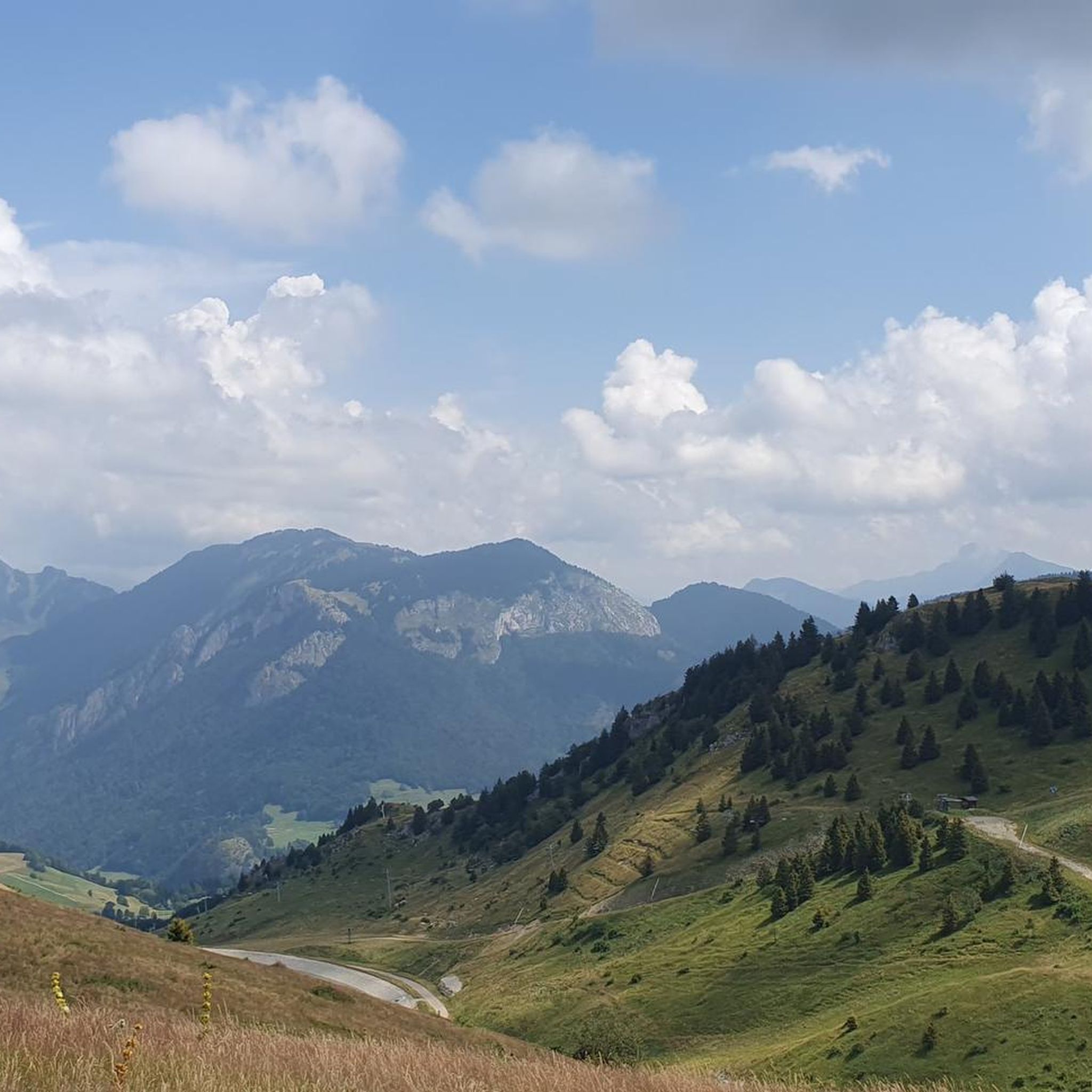
Hiking around Habère-Lullin, nestled in the French Alps within the Haute-Savoie Mont-Blanc region, offers diverse natural features. The area is characterized by altitudes ranging from 790m to 1597m, encompassing majestic peaks, alpine pastures, and dense woods. Hikers can explore varied terrain, from scenic ridges to the Vallée Verte, providing a range of experiences.
Best hiking trails around Habère-Lullin
- The most popular hiking route is Hiking loop from Habère-Lullin, a 5.9 miles (9.5 km) trail that takes 3 hours 31…
Last updated: October 1, 2026
4.8
(11)
124
hikers
7.96km
02:50
380m
380m
Hard hike. Good fitness required. Sure-footedness, sturdy shoes and alpine experience required.
5.0
(3)
20
hikers
5.07km
02:08
340m
340m
Hard hike. Good fitness required. Sure-footedness, sturdy shoes and alpine experience required.

4.0
(2)
11
hikers
5.34km
02:17
340m
340m
Hard hike. Good fitness required. Sure-footedness, sturdy shoes and alpine experience required.
5.0
(2)
6
hikers
7.07km
01:58
140m
140m
Easy hike. Great for any fitness level. Easily-accessible paths. Suitable for all skill levels.
5.0
(1)
12
hikers
9.85km
02:46
190m
190m
Moderate hike. Good fitness required. Easily-accessible paths. Suitable for all skill levels.
Get access to more routes and recommendations from other explorers.
Already have an account?
Our route recommendations are based on thousands of hikes, rides, and runs completed by other people on komoot.
Start today with a free account
Your next adventure awaits.

Other adventures around Habère-Lullin

Tips from the Community

River in the forest during the descent to the village of Le Villard.
0
0

Here, the trail crosses a small hamlet made up of beautiful houses surrounded by pastures. Before heading into the forest, savor the open panorama of the surrounding mountains one last time.
0
0


The Ajon climb is signposted from Villard. It is 7.3 kilometres long and has an average gradient of 8.3% with a passage at over 15%. At the top, the view at an altitude of 1,406 metres is delightful.
1
0


Hunting reservation, so great not to have hunters there
3
0
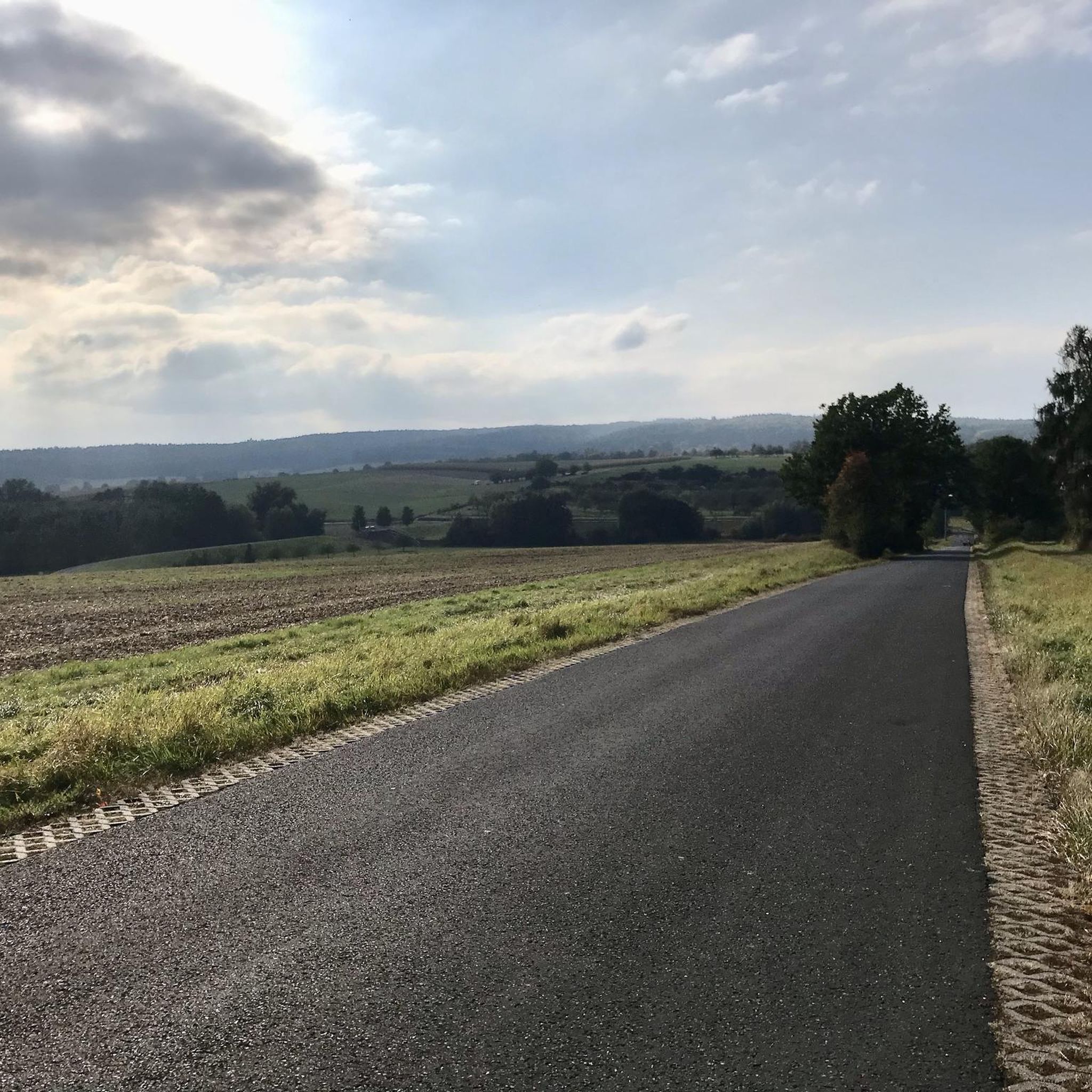
great ride along side Menoge river. Nice trail in the forest. no specific difficulties. for all levels.
3
0
Frequently Asked Questions
How many hiking trails are there around Habère-Lullin?
There are over 230 hiking routes available around Habère-Lullin, catering to various skill levels. This includes 47 easy routes, 127 moderate routes, and 60 difficult routes, ensuring options for everyone from casual walkers to experienced mountaineers.
Are there easy or family-friendly hiking options in Habère-Lullin?
Yes, Habère-Lullin offers 47 easy hiking routes suitable for families and those looking for a less strenuous walk. The region's diverse terrain includes accessible paths, and nearby areas like the Plateau des Glières also feature marked trails suitable for various skill levels. For a relaxing experience, Lac Vert provides a natural beach and children's play areas.
What kind of landscapes can I expect to see while hiking in Habère-Lullin?
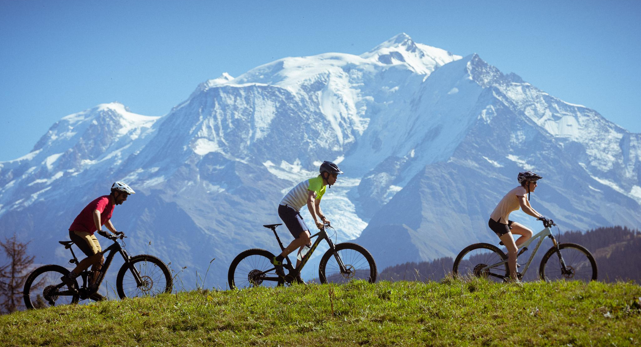
Hikers in Habère-Lullin will encounter a rich variety of landscapes, including majestic peaks like Mont Blanc visible on clear days, alpine pastures, and dense woods. The area features scenic ridges, mountain passes such as Col du Creux and Col de Jambaz, and the beautiful Vallée Verte. The Pointe de Miribel is the highest point within Habère-Lullin itself, offering rewarding views.
What are some notable landmarks or attractions to see near the hiking trails?
The region around Habère-Lullin is rich in natural and historical landmarks. You can explore Mount Forchat for panoramic views, or visit mountain passes like Col de Cou and Jambaz Pass. The Saint Bruno Chapel is another point of interest. For a unique historical insight, consider the 'Circuit des meulières de la corbière' which highlights the region's stone cutting history.
Are there any circular hiking routes in the area?
Yes, Habère-Lullin offers several circular hiking routes. A popular option is the Hiking loop from Habère-Lullin, which is 9.5 km long. Another is the Pointe de Miribel – Chalets d'Ajon loop from Pointe de Miribel, covering 8.0 km through alpine terrain. These loops allow you to start and finish at the same point, offering varied scenery along the way.
What is the best time of year to go hiking in Habère-Lullin?
The best time for hiking in Habère-Lullin generally depends on your preferred activity. The warmer months from spring to autumn are ideal for traditional hiking, enjoying the alpine pastures and clear trails. In winter, the region transforms, offering excellent opportunities for snowshoeing, particularly on routes like the Pointe de Miribel, and Nordic skiing at the Plateau des Glières.
What do other hikers enjoy most about hiking in Habère-Lullin?
The hiking routes in Habère-Lullin are highly rated by the komoot community, with an average score of 4.6 stars from over 900 reviews. Hikers frequently praise the diverse terrain, from majestic peaks to dense woods, and the varied experiences offered, from accessible paths to challenging ascents. The breathtaking views of the Alpine landscape, including Mont Blanc, are also a common highlight.
Are there opportunities for winter hiking or snowshoeing?
Absolutely. Habère-Lullin is a great destination for winter activities. When snow covers the trails, snowshoeing becomes a popular way to explore the landscape, with routes like the Pointe de Miribel offering pleasant experiences. The nearby Plateau des Glières is also well-known for Nordic skiing during the colder months.
Can I bring my dog on the hiking trails in Habère-Lullin?
While specific regulations for each trail may vary, generally, many outdoor areas in the French Alps are dog-friendly, especially if dogs are kept on a leash. It's always recommended to check local signage or specific route descriptions for any restrictions, particularly in protected natural areas, and to ensure your dog is well-behaved and doesn't disturb wildlife or other hikers.
What is the typical duration for a hike in Habère-Lullin?
Hiking durations in Habère-Lullin vary significantly based on the route's length and difficulty. For instance, the Hiking loop from Habère-Lullin typically takes about 3 hours and 31 minutes to complete, while the Pointe de Miribel – Chalets d'Ajon loop from Pointe de Miribel can be completed in approximately 2 hours and 50 minutes. There are also shorter options like the Chalets d'Ajon – Pointe de Miribel loop from Pointe de Miribel, which takes around 50 minutes.
Are there any challenging hikes for experienced hikers?
Yes, Habère-Lullin offers 60 difficult routes for experienced hikers seeking a challenge. These trails often involve significant elevation changes and require good fitness and sure-footedness. The Gorges du Pont du Diable, for example, are known for offering challenges for climbing and mountaineering enthusiasts. Routes ascending to Mont Forchat also provide demanding yet rewarding experiences.
What kind of wildlife might I encounter while hiking?
The diverse terrain of Habère-Lullin, encompassing alpine pastures and dense woods, supports a variety of flora and fauna. While specific sightings are never guaranteed, hikers might encounter typical Alpine wildlife. Local mountain guides often share their knowledge of the region's natural inhabitants, offering insights into the local ecosystem.
Most popular routes around Habère-Lullin
Most popular attractions around Habère-Lullin

Get inspired with the komoot mobile app


Explore more
Browse the best Hikes in other regions.
