The best road cycling routes around Chambœuf
4.2
(112)
3,348
riders
354
rides
Road cycling routes around Chambœuf offer diverse landscapes, from the plains near the Loire River to areas with significant elevation gains. The region is characterized by its proximity to the Gorges de la Loire, providing varied terrain that includes natural basins, hamlets, and forests. Cyclists can expect routes that traverse through villages and past historical sites, combining physical activity with cultural exploration. The area's geography supports both moderate rides and more challenging circuits with notable climbs.
Best road cycling routes…
Last updated: May 16, 2026
4.5
(8)
122
riders
55.9km
03:00
960m
960m
Hard road ride. Very good fitness required. Some segments of this route may be unpaved and difficult to ride.
4.0
(6)
74
riders
Moderate road ride. Good fitness required. Mostly well-paved surfaces and easy to ride.

Sign up for free
4.0
(2)
144
riders
Moderate road ride. Good fitness required. Mostly well-paved surfaces and easy to ride.
63
riders
Moderate road ride. Good fitness required. Mostly well-paved surfaces and easy to ride.
65
riders
64.4km
03:03
870m
870m
Moderate road ride. Good fitness required. Mostly well-paved surfaces and easy to ride.
Get access to more routes and recommendations from other explorers.
Sign up for free
Already have an account?
Our route recommendations are based on thousands of hikes, rides, and runs completed by other people on komoot.
Start today with a free account
Your next adventure awaits.
Login or Signup
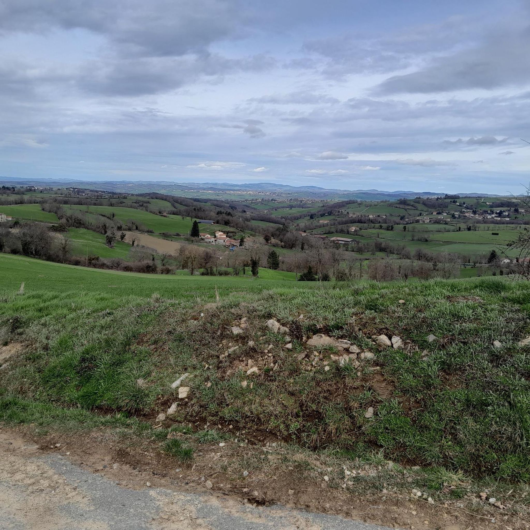
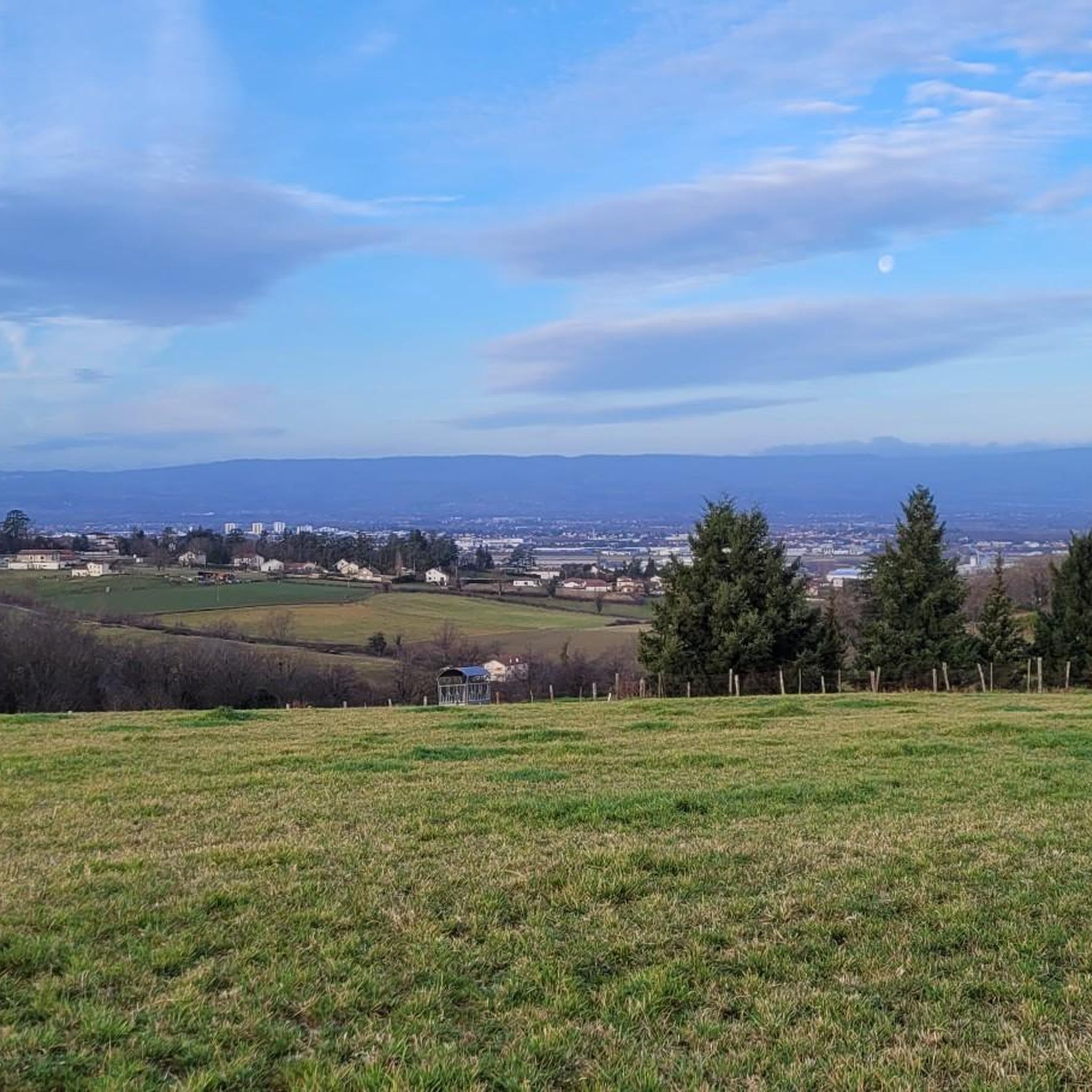
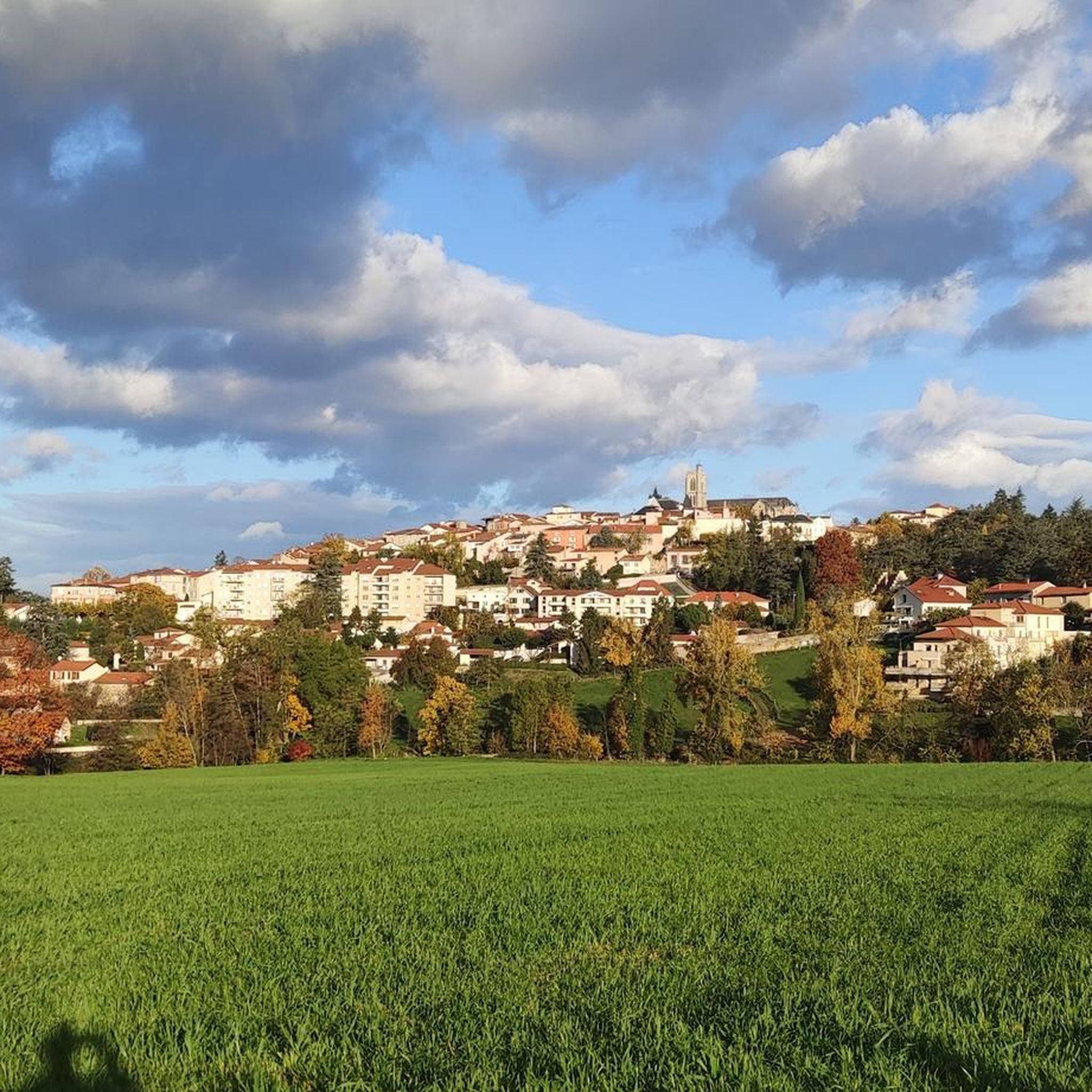


Tips from the Community

on the watershed between the ocean and the Mediterranean
0
0

Beautiful view towards the East overlooking Valfleury
0
0

Accessible drinking water point (tap). Toilets next door
0
0

easy to drive bridge to get to the rise on the left side of the Loire
0
0

The Col de la Gachet from Lorette is 11.04 km long with a total drop of 463 m. The average gradient is 4.19% with maximum gradients of 7.6%.
1
0
After the bridge, the road rises above the river, giving way to views of the Loire below.
1
0

A pretty work of art in metal which allows us to have a beautiful view of the Loire.
0
0
Frequently Asked Questions
How many road cycling routes are available around Chambœuf?
There are over 340 road cycling routes around Chambœuf, offering a wide variety of options for different skill levels and preferences. You'll find everything from easy rides to challenging circuits with significant elevation gains.
What kind of terrain and elevation can I expect on road cycling routes in Chambœuf?
Chambœuf's road cycling routes feature diverse terrain. You can expect routes that traverse plains near the Loire River, as well as more demanding circuits with notable climbs and significant elevation gains, especially as you move closer to the Gorges de la Loire. For example, the Belle Vue loop from Saint-Galmier includes over 900 meters of elevation gain, while The ponds of Feurs – Chemin Unias Craintilleux loop from Veauche-Saint-Galmier has more moderate elevation changes.
Are there any beginner-friendly road cycling routes in Chambœuf?
Yes, Chambœuf offers a good selection of easier road cycling routes. Out of the over 340 routes, 47 are classified as easy, making them suitable for beginners or those looking for a more relaxed ride. These routes typically feature less elevation and shorter distances.
What historical sites or landmarks can I see along the road cycling routes?
Many road cycling routes in Chambœuf pass by charming villages and historical sites. You can often spot landmarks like Montrond-les-Bains Castle or explore areas near Montrond-les-Bains. The Bellegarde-en-Forez Castle – Saint Roch Chapel loop from Veauche-Saint-Galmier is a great example of a route that leads through historical areas and past such landmarks.
Are there any scenic viewpoints or natural features to enjoy while cycling?
Absolutely. The region is close to the Loire River, offering scenic routes like the 'Bord de Loire mûrs' loop mentioned in regional research. You can also find natural features such as the Hurongues Pond or the bords de Loire Rivas-Montrond. The Gorges de la Loire also provide varied landscapes with natural basins and forests.
What do other road cyclists enjoy most about cycling in Chambœuf?
The road cycling routes in Chambœuf are highly rated by the komoot community, with an average score of 4.1 stars from over 140 reviews. Cyclists often praise the varied terrain, the opportunity to combine physical activity with cultural discovery through charming villages and historical sites, and the diverse options available for different ability levels.
Are there any loop routes for road cycling in Chambœuf?
Yes, many of the road cycling routes around Chambœuf are designed as loops, making them convenient for starting and ending at the same point. Examples include the Belle Vue loop from Saint-Galmier and the Monts du lyonnais sud loop from Veauche-Saint-Galmier.
What is the best time of year for road cycling in Chambœuf?
The region's diverse geography, including mountains, lakes, and rivers, makes it suitable for cycling through much of the year. Spring and autumn generally offer pleasant temperatures and beautiful scenery, especially when the 'Village de la rose Meilland' is in bloom. Summer can also be excellent, though it's always wise to check local weather conditions.
Are there any cafes or places to stop for refreshments along the routes?
While specific cafes are not listed for each route, the routes frequently pass through charming villages. These villages are typically good places to find local establishments for refreshments or a meal, allowing you to combine your ride with a pleasant break.
Where can I find parking for road cycling routes in Chambœuf?
Many routes start from towns or villages like Saint-Galmier or Veauche-Saint-Galmier. These locations typically offer public parking options suitable for cyclists. It's advisable to check specific starting points for available parking facilities before your ride.
Are there any moderate difficulty road cycling routes that offer a good balance of challenge and scenery?
Yes, Chambœuf has a significant number of moderate routes, with over 200 available. These routes provide a good balance. For instance, The ponds of Feurs – Chemin Unias Craintilleux loop from Veauche-Saint-Galmier is a moderate 57.9 km path that guides cyclists through varied scenery with manageable elevation changes, offering both challenge and picturesque views.
Can I find routes that are suitable for advanced road cyclists looking for a challenge?
Absolutely. For advanced road cyclists, there are 87 difficult routes available. These routes feature substantial elevation gains and longer distances. The Belle Vue loop from Saint-Galmier, for example, is a difficult 55 km route with over 900 meters of elevation, perfect for experienced riders seeking a demanding circuit.
Most popular attractions around Chambœuf

Get inspired with the komoot mobile app


Explore more
Browse the best Road cycling routes in other regions.
