The best running trails around Saint-Jeoire-Prieuré
4.4
(96)
5,749
runners
17
runs
Jogging around Saint-Jeoire-Prieuré offers diverse terrain within the Savoie department of France. The region is characterized by its proximity to the Massif des Bauges Regional Natural Park, featuring varied landscapes from technical mountain trails to softer forest paths. Runners can find routes near Lake Bourget, France's largest natural lake, providing lakeside paths and mountain ascents. The area includes numerous mountain peaks and extensive forested areas, offering a range of elevation and scenery for different running preferences.
Best jogging routes around Saint-Jeoire-Prieuré
- The most popular jogging route is Trail mont saint Michel loop from Saint-Jeoire-Prieuré, a 5.0 miles (8.0 km) trail that takes 1 hour 22 minutes to complete. This difficult route features significant elevation gain towards Mont Saint-Michel.
- Another top favourite among local runners is Trail mont saint Michel – Doria Waterfall loop from Saint-Jeoire-Prieuré, a difficult 19.0 miles (30.5 km) path. This extensive route combines mountain terrain with natural features like the Doria Waterfall.
- Local runners also love the View of Chapelle Saint-Michel loop from Saint-Jeoire-Prieuré, a 6.2 miles (10.0 km) trail leading through varied terrain with views of Chapelle Saint-Michel, often completed in about 1 hour 4 minutes.
- Jogging around Saint-Jeoire-Prieuré is defined by mountain peaks, extensive forests, and the serene Lake Bourget. The network offers options for different ability levels, from moderate paths to challenging trail runs with significant elevation.
- The routes in Saint-Jeoire-Prieuré are highly rated by the komoot community with an average score of 4.4 stars from over 80 reviews. More than 5000 runners have used komoot to explore Saint-Jeoire-Prieuré's varied terrain.
Last updated: October 4, 2026
19
runners
30.5km
05:00
1,730m
1,730m
Hard run. Very good fitness required. Sure-footedness, sturdy shoes and alpine experience required.
26
runners
9.96km
01:05
80m
80m
Moderate run. Good fitness required. Mostly paved surfaces. Suitable for all skill levels.

8
runners
7.61km
00:47
30m
30m
Moderate run. Good fitness required. Mostly paved surfaces. Suitable for all skill levels.
11
runners
10.7km
01:11
110m
110m
Moderate run. Good fitness required. Mostly paved surfaces. Suitable for all skill levels.
6
runners
6.25km
00:42
90m
90m
Moderate run. Good fitness required. Mostly paved surfaces. Suitable for all skill levels.
Get access to more routes and recommendations from other explorers.
Already have an account?
Our route recommendations are based on thousands of hikes, rides, and runs completed by other people on komoot.
Start today with a free account
Your next adventure awaits.
Popular around Saint-Jeoire-Prieuré
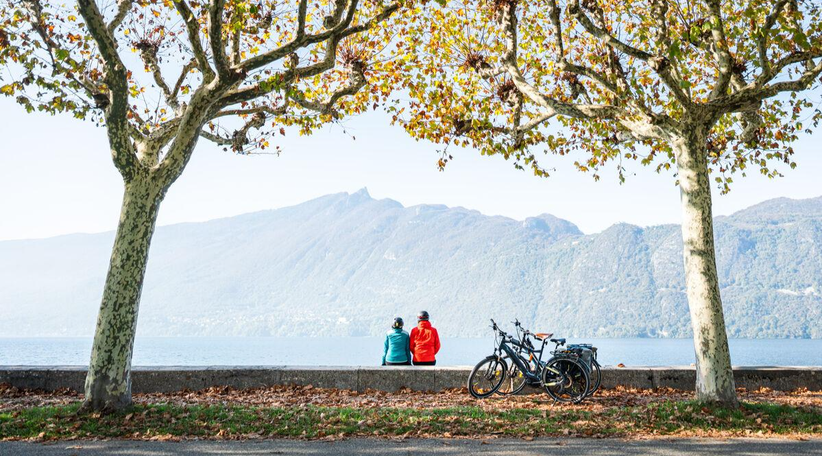
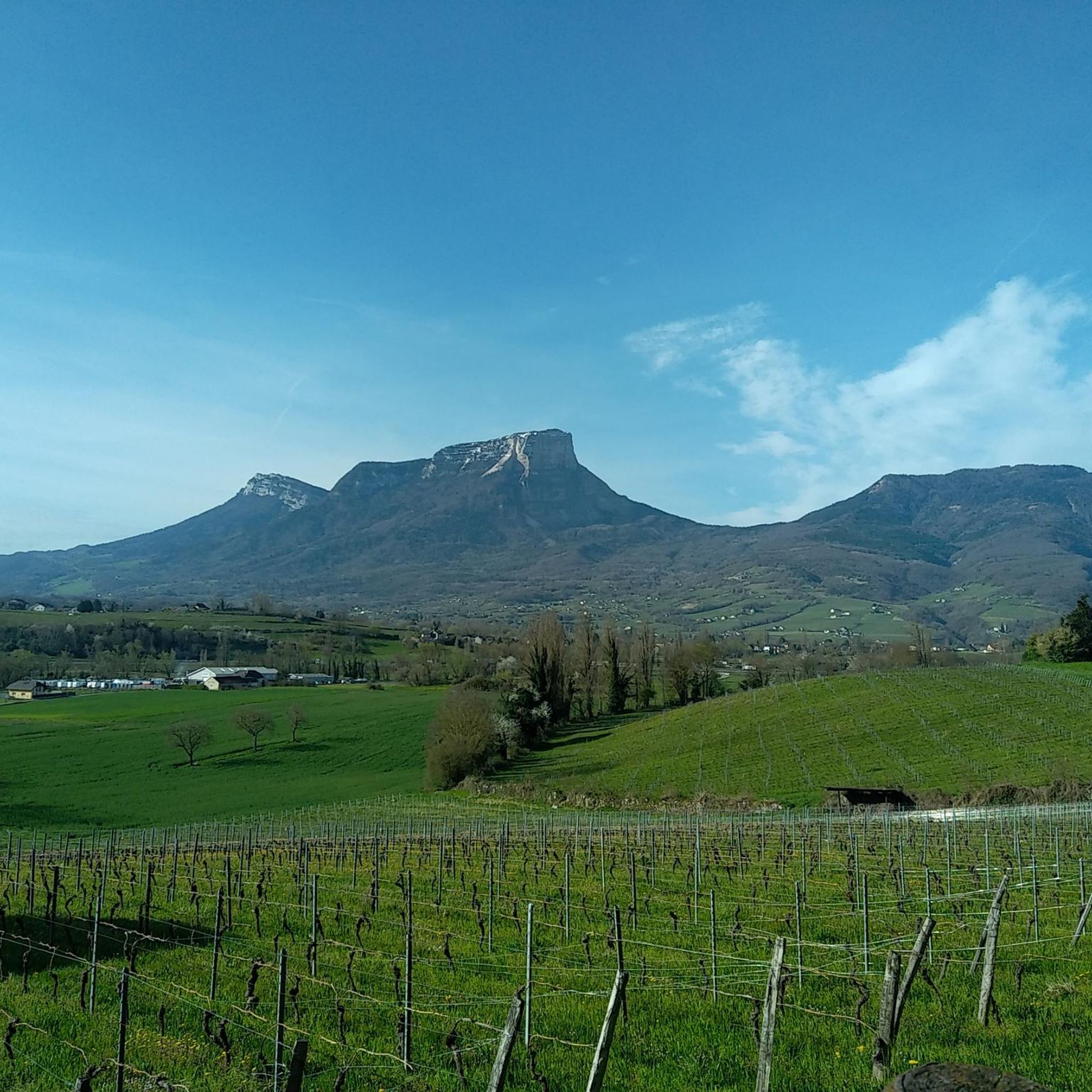
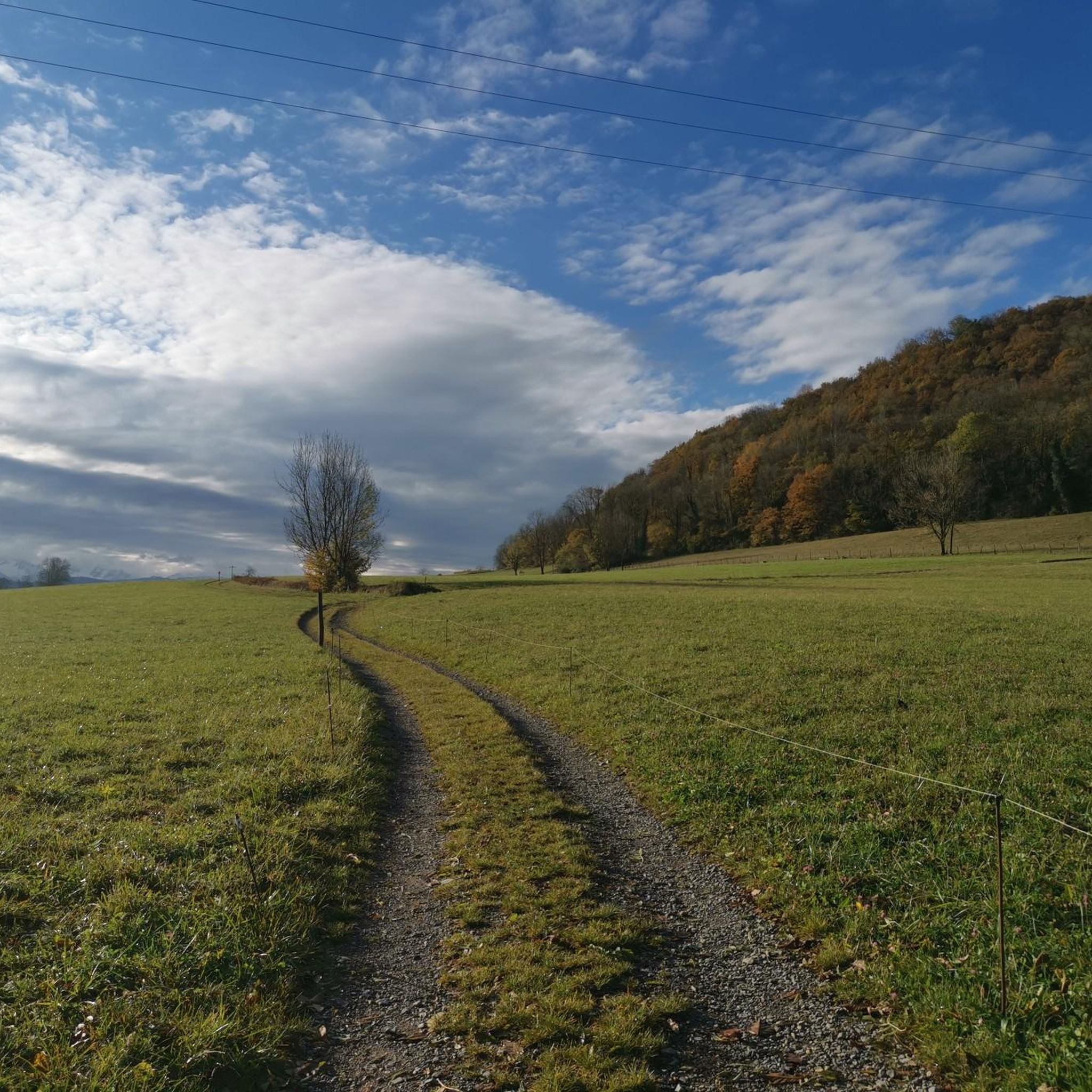
Other adventures around Saint-Jeoire-Prieuré

Tips from the Community

More interesting climb via the "direct" route, via Rocher Rousset, from Challes-les-Eaux.
0
0
Magnificent view when you climb up Rocher Rousset.
0
0


Majestic views of Chambéry, Combe de Savoie, Chartreuse opposite, Belledonnes on the left, Nivolet on the right!!! Stunning…
0
0


Nice layout that allows you to reach Thoiry from St-Jean-d'Arvey.
1
1
Well-known site for trail runners and walkers.
0
1
Very beautiful panoramic views. Quite busy.
1
0
Frequently Asked Questions
How many running routes are available around Saint-Jeoire-Prieuré?
There are over 20 dedicated running routes around Saint-Jeoire-Prieuré, offering a wide range of experiences for joggers. These routes are highly rated by the komoot community, with an average score of 4.4 stars from over 80 reviews.
What kind of terrain can I expect on running trails around Saint-Jeoire-Prieuré?
The region offers incredibly varied terrain, from mostly paved surfaces for relaxed runs to challenging technical mountain trails with significant elevation gains. You'll find paths through extensive forests, alongside the serene Lake Bourget, and within the mountainous landscapes of the Massif des Bauges Regional Natural Park.
Are there running trails suitable for all fitness levels in Saint-Jeoire-Prieuré?
Yes, Saint-Jeoire-Prieuré caters to all fitness levels. While there are 6 difficult routes for experienced trail runners, you can also find 14 moderate paths and 1 easy route, ensuring options for leisurely jogs or more intense training sessions.
Are there challenging running routes with significant elevation gain?
Absolutely. For those seeking a challenge, routes like the Trail mont saint Michel loop from Saint-Jeoire-Prieuré feature significant elevation gain. The region's proximity to the Massif des Bauges, with peaks exceeding 2000 meters, provides ample opportunities for altitude training and demanding trail runs.
Can I find running routes that pass by waterfalls?
Yes, the natural landscape includes captivating waterfalls. For example, the extensive Trail mont saint Michel – Doria Waterfall loop from Saint-Jeoire-Prieuré combines mountain terrain with natural features like the Doria Waterfall. You can also explore other waterfalls in the area, such as the Cascade de la Doriaz or Waterfalls on the Nant du Pontet.
Are there running paths near Lake Bourget?
Yes, Lake Bourget, France's largest natural lake, is a significant attraction near Saint-Jeoire-Prieuré. Jogging routes around the lake offer diverse scenery, from lakeside paths to more demanding mountain ascents, with many providing picturesque views of the clear waters and surrounding mountains.
Are there circular running routes available in the area?
Many of the running routes around Saint-Jeoire-Prieuré are designed as loops, offering convenient circular paths. Examples include the View of Chapelle Saint-Michel loop from Saint-Jeoire-Prieuré and the Barberaz Cascade – Leysse Round Bush loop from Myans, allowing you to start and finish in the same location.
What are some scenic viewpoints or landmarks I can see while running?
The region is rich in scenic views. Routes in the Mont Saint-Michel area offer stunning overlooks of Chambéry, the Massif de Belledonne, and the Chartreuse with Mont Granier. The View of Chapelle Saint-Michel loop from Saint-Jeoire-Prieuré provides varied terrain with views of the historic Chapelle Saint-Michel.
What do other runners enjoy most about jogging in Saint-Jeoire-Prieuré?
The komoot community highly rates the running experience in Saint-Jeoire-Prieuré, with an average score of 4.4 stars. Runners often praise the diverse terrain, from technical mountain trails to softer forest paths, and the breathtaking natural backdrops, including mountain peaks, Lake Bourget, and extensive forested areas.
Are there any easy, family-friendly running options?
While many routes offer moderate challenges, there is at least one easy route available, and several moderate routes with gentler elevation changes that could be suitable for families looking for a less strenuous run. The varied terrain ensures you can find paths that match your family's comfort level.
What is the best time of year for running in Saint-Jeoire-Prieuré?
The region offers beautiful scenery year-round. In warmer months, forested paths provide shade, while spring and autumn bring vibrant colors. Winter running is also possible, though some higher-elevation trails may require appropriate gear or alpine experience due to snow and technical conditions.
Most popular routes around Saint-Jeoire-Prieuré
Most popular attractions around Saint-Jeoire-Prieuré

Get inspired with the komoot mobile app


Explore more
Browse the best Running Trails & Routes in other regions.
