The best road cycling routes around Notre-Dame-De-Vaulx
4.6
(255)
6,704
riders
92
rides
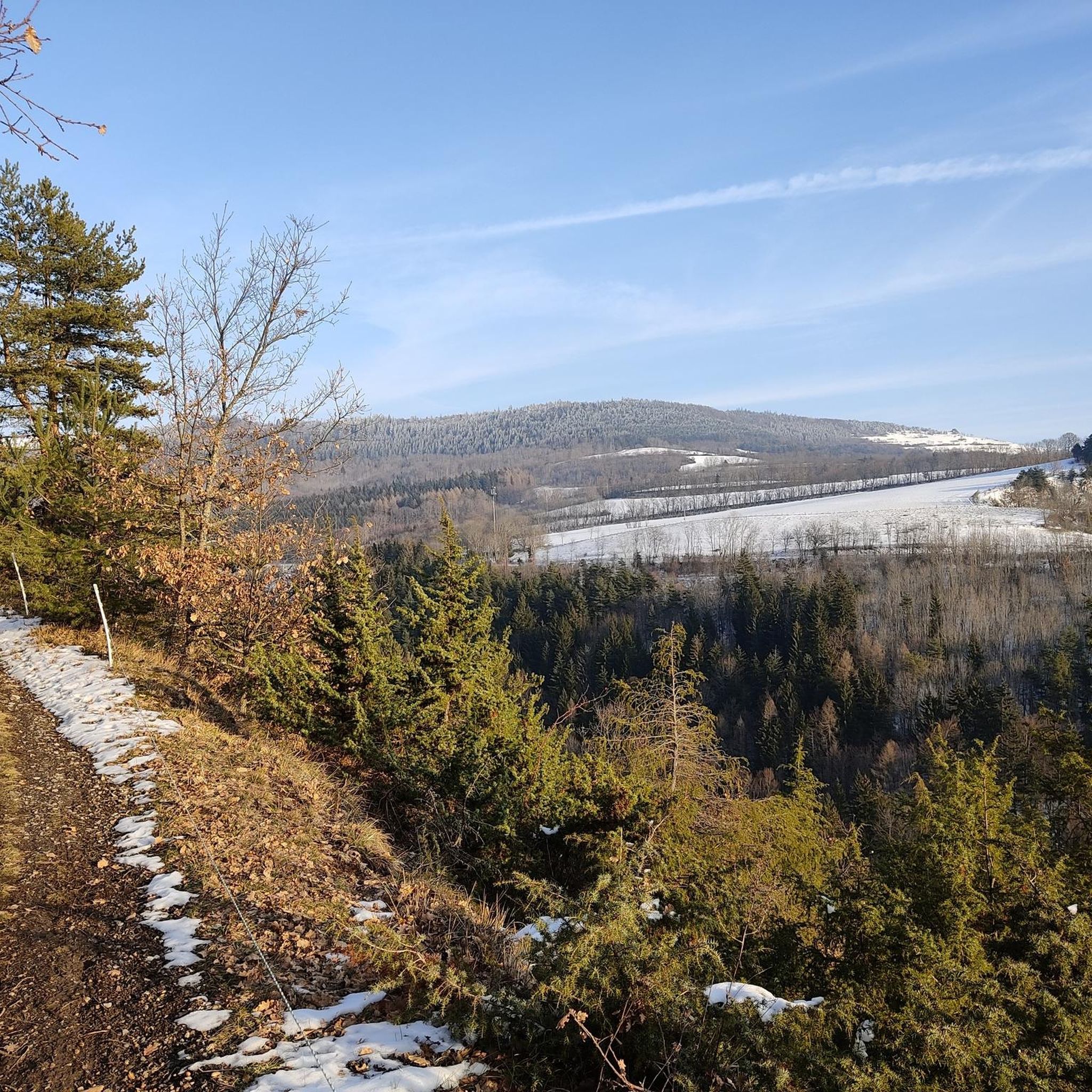
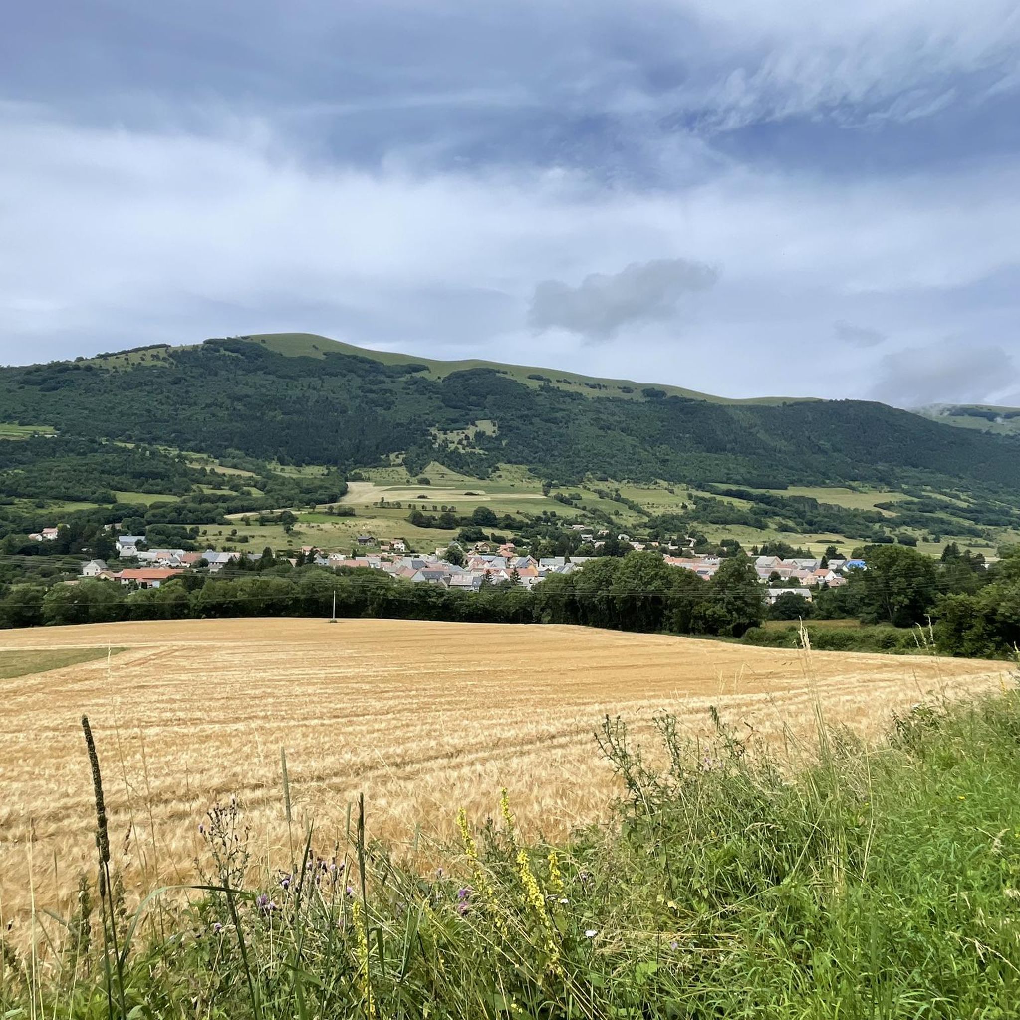
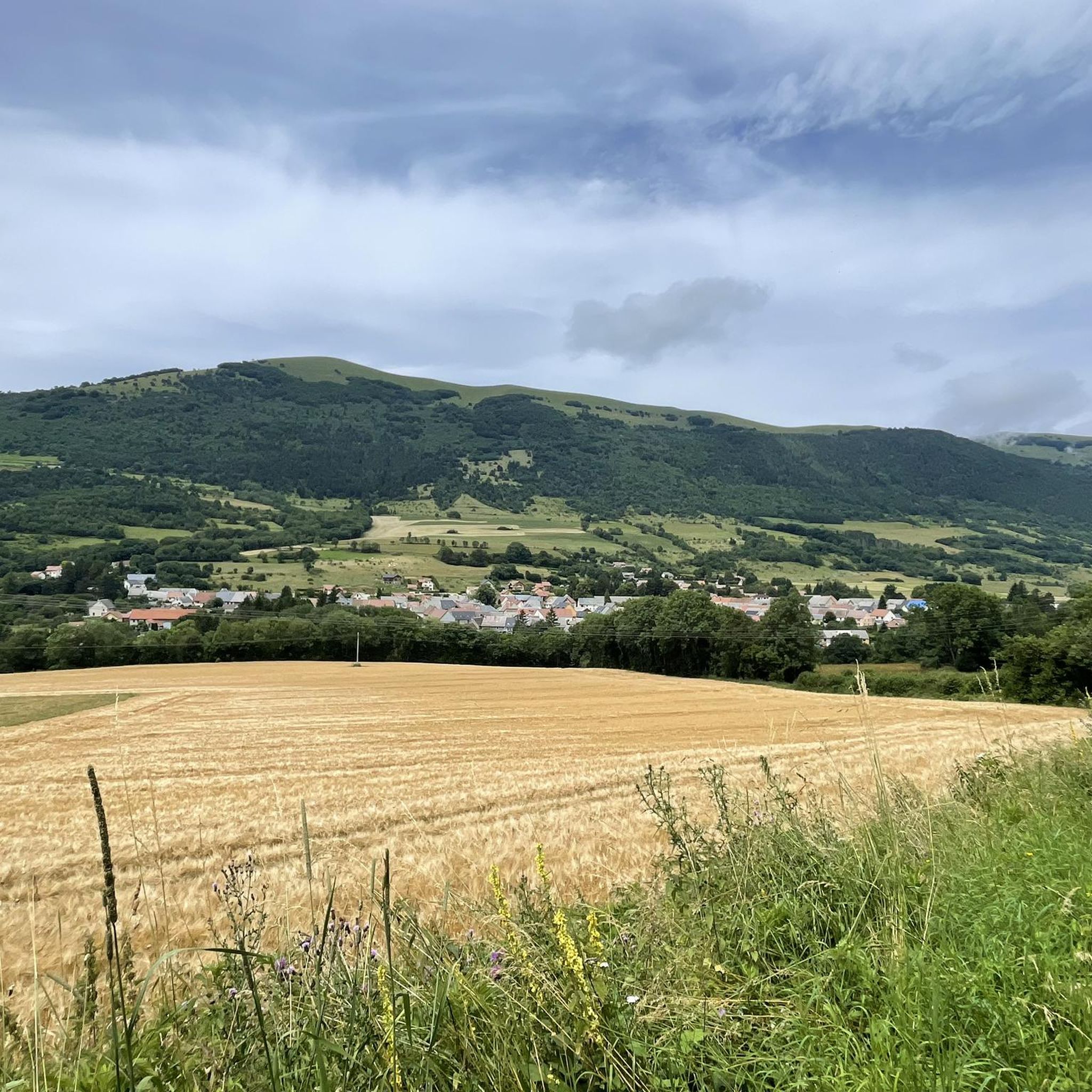
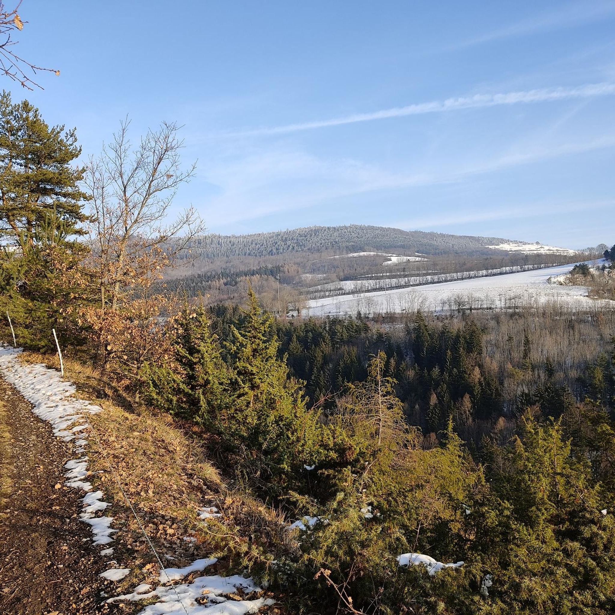
Road cycling routes around Notre-Dame-De-Vaulx, located in the Isère department, traverse a varied topography ranging from 877 meters to 1712 meters in altitude. The region offers significant elevation changes, including mountain passes and panoramic viewpoints. Cyclists encounter diverse landscapes such as mineral areas, pastures, and forests, with expansive views of surrounding mountain ranges. The Matheysine territory also features natural arches and proximity to lakes, providing varied terrain for road cyclists.
Best road cycling routes around Notre-Dame-De-Vaulx
- The most popular road…
Last updated: May 20, 2026
4.9
(10)
305
riders
78.6km
04:52
2,170m
2,170m
Hard road ride. Very good fitness required. Mostly well-paved surfaces and easy to ride.
4.7
(31)
389
riders
57.1km
02:50
890m
890m
Moderate road ride. Good fitness required. Mostly well-paved surfaces and easy to ride.

Sign up for free
4.8
(8)
231
riders
64.3km
03:20
1,060m
1,060m
Hard road ride. Very good fitness required. Mostly well-paved surfaces and easy to ride.
114
riders
93.4km
05:41
2,440m
2,440m
Hard road ride. Very good fitness required. Mostly well-paved surfaces and easy to ride.
5.0
(1)
55
riders
80.1km
04:07
1,360m
1,360m
Hard road ride. Very good fitness required. Mostly well-paved surfaces and easy to ride.
Get access to more routes and recommendations from other explorers.
Sign up for free
Already have an account?
Our route recommendations are based on thousands of hikes, rides, and runs completed by other people on komoot.
Start today with a free account
Your next adventure awaits.
Login or Signup


Tips from the Community

you have to know that she is there, otherwise, by bike there is no chance of seeing her
0
0

fairly easy, very nice views, quiet roads.
0
0
It is from the road to La Corniche that we have the most beautiful views of Lake Monteynard
0
0
The Corniche du Drac is a very beautiful route in Matheysine
0
0

Don't go too far, the last 12% are fierce.
0
0
From Séchilienne, the climb is quite demanding, constantly between 10 and 15%. A small road with little traffic.
0
0

Frequently Asked Questions
How many road cycling routes are available around Notre-Dame-De-Vaulx?
There are over 80 road cycling routes in the Notre-Dame-De-Vaulx area, offering a wide range of options for different skill levels and preferences.
What kind of terrain and difficulty can I expect on road cycling routes here?
The region features varied topography, with routes ranging from 877 meters to 1712 meters in altitude. You'll find significant elevation changes, including challenging mountain passes like the Col de la Morte. While 43 routes are classified as difficult, there are also 34 moderate and 4 easy routes, ensuring options for all abilities.
What natural features and viewpoints can I discover along the routes?
Road cycling routes around Notre-Dame-De-Vaulx offer stunning panoramic views of the northern Vercors, Grenoble, the Vercors plateau, and the Belledonne, Taillefer, Grandes-Rousses, and Dévoluy mountain ranges. You can also cycle past unique natural features such as La Pierre Percée, a natural arch offering a unique 'picture frame' for views, or the Col de la Morte.
Are there road cycling routes that feature lakes?
Yes, the Matheysine territory is known for its lakes and mountains. You can find routes that incorporate these scenic water bodies, such as the Grand Lake of Laffrey – Lake Laffrey loop from Saint-Théoffrey, which offers a picturesque ride around the Grand Lake of Laffrey.
When is the best time of year for road cycling in Notre-Dame-De-Vaulx?
The best time for road cycling in this mountainous region is typically from late spring to early autumn (May to October), when the weather is generally mild, and mountain passes are clear of snow. Summer months offer warmer temperatures, but spring and autumn provide pleasant conditions with fewer crowds.
Are there any challenging road cycling routes for experienced riders?
Absolutely. The area is renowned for its demanding cycling. Routes like the Col de l'Holme – View of l'Obiou loop from La Motte-d'Aveillans, with over 2,600 meters of elevation gain, or the Col de Chamrousse – Chamrousse 1750m loop from La Motte-d'Aveillans, offer significant climbs and rewarding descents through alpine landscapes.
Are there road cycling routes suitable for beginners or less experienced riders?
Yes, while the region is known for its challenging terrain, there are 4 routes classified as easy. These routes typically feature less elevation gain and shorter distances, providing a gentler introduction to road cycling in the area. Look for routes around the lower elevations or those specifically marked as easy on komoot.
What do other cyclists say about road cycling in Notre-Dame-De-Vaulx?
The road cycling routes in Notre-Dame-De-Vaulx are highly rated by the komoot community, with an average score of 4.5 stars from over 260 reviews. Cyclists often praise the stunning panoramic views, the varied terrain, and the challenging climbs that make for a rewarding experience.
Is parking available for cyclists near the routes?
While specific parking areas are not detailed for every route, starting points for many routes, such as La Motte-d'Aveillans or Saint-Théoffrey, typically offer public parking options suitable for cyclists. It's advisable to check local parking availability for your chosen starting point.
Can I find places for refreshments or accommodation along the road cycling routes?
The region around Notre-Dame-De-Vaulx, being part of the Matheysine territory, has various villages and towns that offer cafes, restaurants, and accommodation. While not every route passes directly by these amenities, many routes are designed to connect with or pass through areas where you can find places to stop and refuel or stay overnight.
Are there any historical landmarks to see while road cycling?
Yes, beyond natural beauty, you can encounter historical points of interest. For example, the Historic Stone Church – Petit Mur de Champagnier loop from La Motte-d'Aveillans takes you through varied landscapes that may include glimpses of local heritage. Additionally, the nearby Château de Vizille is a significant historical attraction in the broader region.
Are most road cycling routes in Notre-Dame-De-Vaulx circular?
Many of the road cycling routes available on komoot around Notre-Dame-De-Vaulx are designed as loops, allowing you to start and finish at the same point. This is convenient for cyclists who drive to their starting location. Examples include the La Morte Pass (1,370 m) – Malissol Pass loop from La Motte-d'Aveillans and the Grand Lake of Laffrey – Lake Laffrey loop from Saint-Théoffrey.
Most popular routes around Notre-Dame-De-Vaulx
Most popular attractions around Notre-Dame-De-Vaulx

Get inspired with the komoot mobile app


Explore more
Browse the best Road cycling routes in other regions.
