The best running trails around Aillant-Sur-Milleron
4.5
(2)
150
runners
42
runs
Jogging around Aillant-Sur-Milleron offers routes primarily characterized by flat terrain and proximity to waterways. The region features gentle paths along canals and rivers, with minimal elevation changes, making it suitable for various fitness levels. These running routes often follow established towpaths and provide views of the local countryside.
Best jogging routes around Aillant-Sur-Milleron
- The most popular jogging route is The Seven Locks of Henri IV Trail, a 5.9 miles (9.5 km) trail that takes 1 hour 7 minutes to…
Last updated: October 7, 2026
2
runners
9.53km
01:07
50m
50m
Jog this 5.9-mile (9.5 km) moderate loop from Rogny-les-Sept-Écluses, featuring the historic Seven Locks and tranquil canal views.
12
runners
14.6km
01:30
30m
30m
Moderate run. Good fitness required. Mostly paved surfaces. Suitable for all skill levels.

16
runners
11.1km
01:08
30m
30m
Moderate run. Good fitness required. Mostly paved surfaces. Suitable for all skill levels.
10
runners
12.8km
01:20
50m
50m
Moderate run. Good fitness required. Mostly paved surfaces. Suitable for all skill levels.
9
runners
10.7km
01:06
30m
30m
Moderate run. Good fitness required. Mostly paved surfaces. Suitable for all skill levels.
Get access to more routes and recommendations from other explorers.
Already have an account?
Our route recommendations are based on thousands of hikes, rides, and runs completed by other people on komoot.
Start today with a free account
Your next adventure awaits.
Tips from the Community

Spectacular and original. A must-see.
0
0


South of Nemours, there are about 15km of unpaved track. After these 15km, it is paved and of good quality until Briare I think (we stopped at Chatillon-Coligny).
1
1

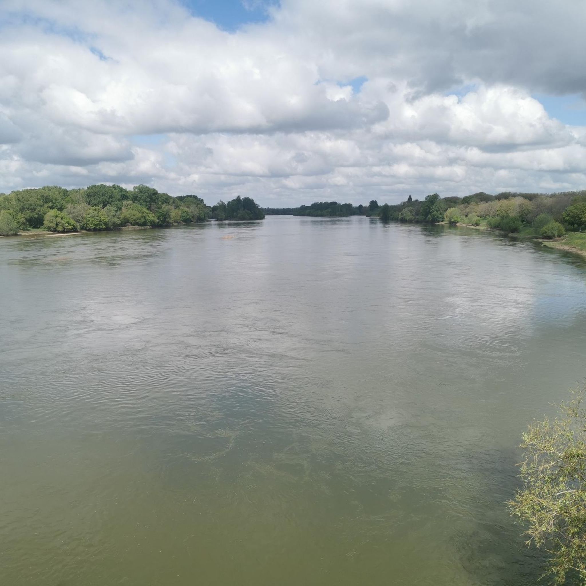
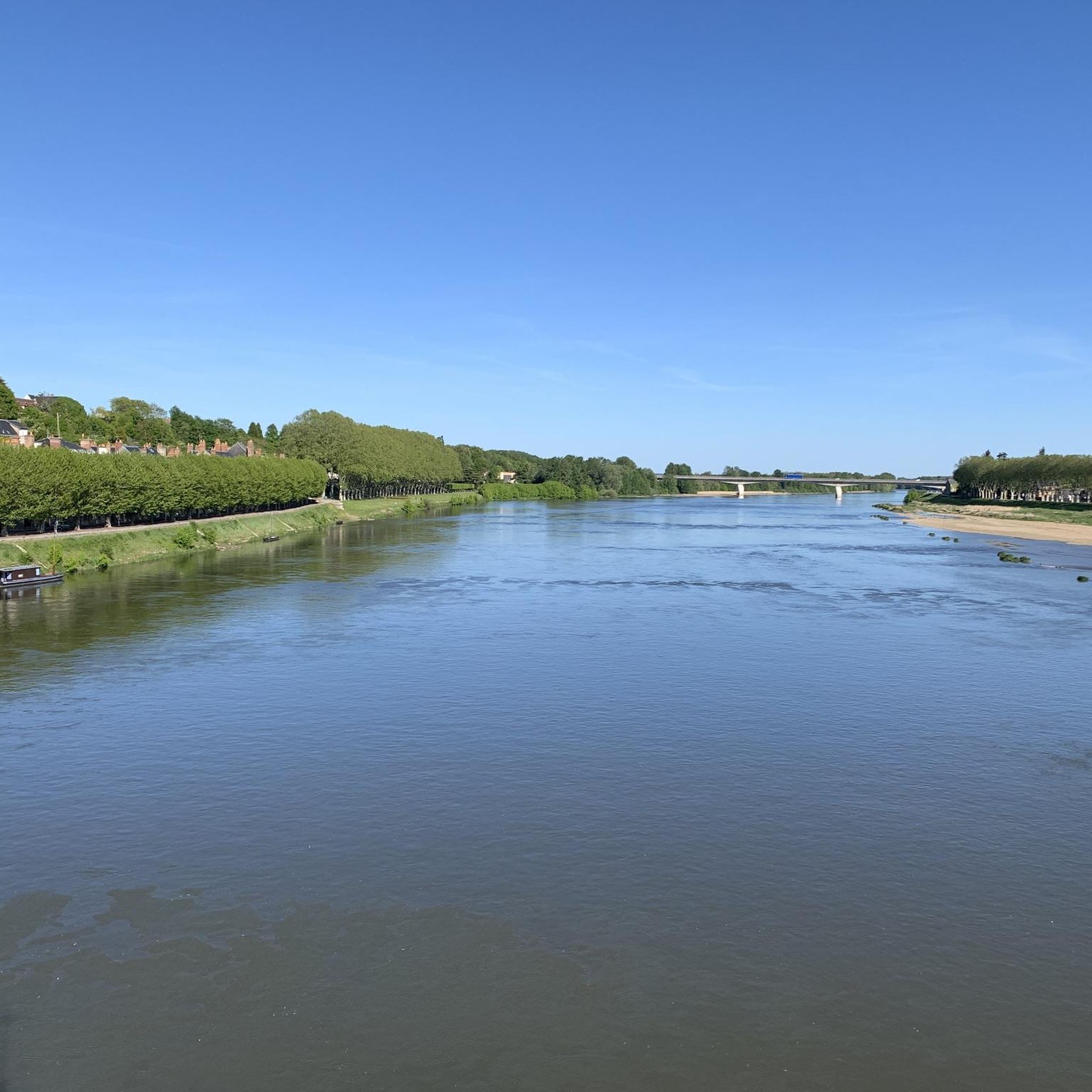
On the banks of the Loing, near Montbouy, you will be transported to a bygone era. This picturesque river, with its tranquil waters and lush greenery, offers a peaceful escape from the hustle and bustle of city life. You can admire the historic bridge, the charming church and the avenue of trees.
0
0

Things to do and have a drink at the hostels!
0
0

Impressive remains from a time when river transport was essential. This gigantic work of art, designed by Henri IV and the Duke of Sully around 1597, in order to connect the Mediterranean to the Ocean and the Channel by bringing together the Loire and Seine rivers using a canal. The work, led by engineer Hugues Cosnier, lasted 38 years and required 6,000 workers to overcome the 24-metre drop in altitude of the hill.
0
0
Notre-Dame Church decorated with many remarkable stained glass windows
0
0
Church of Notre Dame and Saint-Blaise in the charming village of Montbouy, which offers a stopover for cycle tourists, but without water or electricity...
0
0
Frequently Asked Questions
How many running routes are available in Aillant-Sur-Milleron?
There are over 30 running routes around Aillant-Sur-Milleron, offering a variety of options for different fitness levels. Most of these are moderate, with a few easy and difficult trails also available.
Are there easy running routes suitable for beginners?
Yes, Aillant-Sur-Milleron offers 3 easy running routes perfect for beginners. These trails typically feature flat terrain along canals and rivers, with minimal elevation changes. One excellent option for a gentle run is The Seven Locks of Henri IV Trail, which is 5.9 miles long.
Can I find family-friendly running trails in the area?
Many of the running routes in Aillant-Sur-Milleron are family-friendly due to their generally flat and accessible nature, often following canal towpaths. These paths are suitable for various ages and offer pleasant views of the countryside.
Are the running routes suitable for dogs?
Yes, many of the running trails along the canals and rivers in Aillant-Sur-Milleron are suitable for dogs, provided they are kept on a leash. The flat, well-maintained towpaths offer a safe environment for you and your canine companion to enjoy a run together.
What kind of terrain can I expect on the running trails?
The running trails around Aillant-Sur-Milleron are primarily characterized by flat terrain, often following established towpaths along canals and rivers. You can expect gentle paths with minimal elevation changes, making them ideal for steady runs and enjoying the local countryside.
Are there circular running routes in Aillant-Sur-Milleron?
Yes, there are several excellent circular running routes. For example, the Briquemaut Lock – Châtillon-Coligny loop from Châtillon-Coligny is a moderate 7.1-mile path, and The Loing loop from Châtillon-Coligny offers a 6.9-mile riverside experience.
What are some points of interest or landmarks I might see while running?
While running in Aillant-Sur-Milleron, you'll often encounter historic canal infrastructure and natural beauty. Notable landmarks include Rogny – The Seven Locks and the picturesque The Loing river. These features provide scenic backdrops to your run.
Are there any cafes or places to stop for refreshments along the routes?
Yes, some routes pass by or near places where you can stop for refreshments. For instance, the route Lock 21 – Camping and Café – Châtillon-Coligny loop from Dammarie-sur-Loing specifically mentions a café. You might also find small eateries in nearby villages like Châtillon-Coligny.
What is the best time of year for running in Aillant-Sur-Milleron?
Spring and autumn are generally ideal for running in Aillant-Sur-Milleron, offering mild temperatures and beautiful scenery as the foliage changes or blooms. Summer can also be pleasant, especially in the mornings or evenings, with the shade provided by trees along the waterways.
Are there options for longer running distances?
Yes, while many routes are around 6-7 miles, you can combine sections of the canal towpaths for longer distances. For example, the Lock 21 – Camping and Café – Châtillon-Coligny loop from Dammarie-sur-Loing is a moderate 8-mile run, and other routes can be extended by continuing along the canals.
Where can I park when accessing these running trails?
Parking is typically available in the villages and towns that serve as starting points for these routes, such as Châtillon-Coligny or Dammarie-sur-Loing. Many canal-side access points also have small parking areas, especially near locks or bridges.
What kind of wildlife might I encounter on the running trails?
Running along the canals and rivers of Aillant-Sur-Milleron, you might spot various waterfowl, such as ducks and swans. The surrounding countryside is also home to common woodland and field animals, offering a chance to observe local flora and fauna.
Most popular routes around Aillant-Sur-Milleron
Most popular attractions around Aillant-Sur-Milleron

Get inspired with the komoot mobile app


Explore more
Browse the best Running Trails & Routes in other regions.
