The best running trails around Grésy-Sur-Isère
4.3
(38)
2,755
runners
122
runs
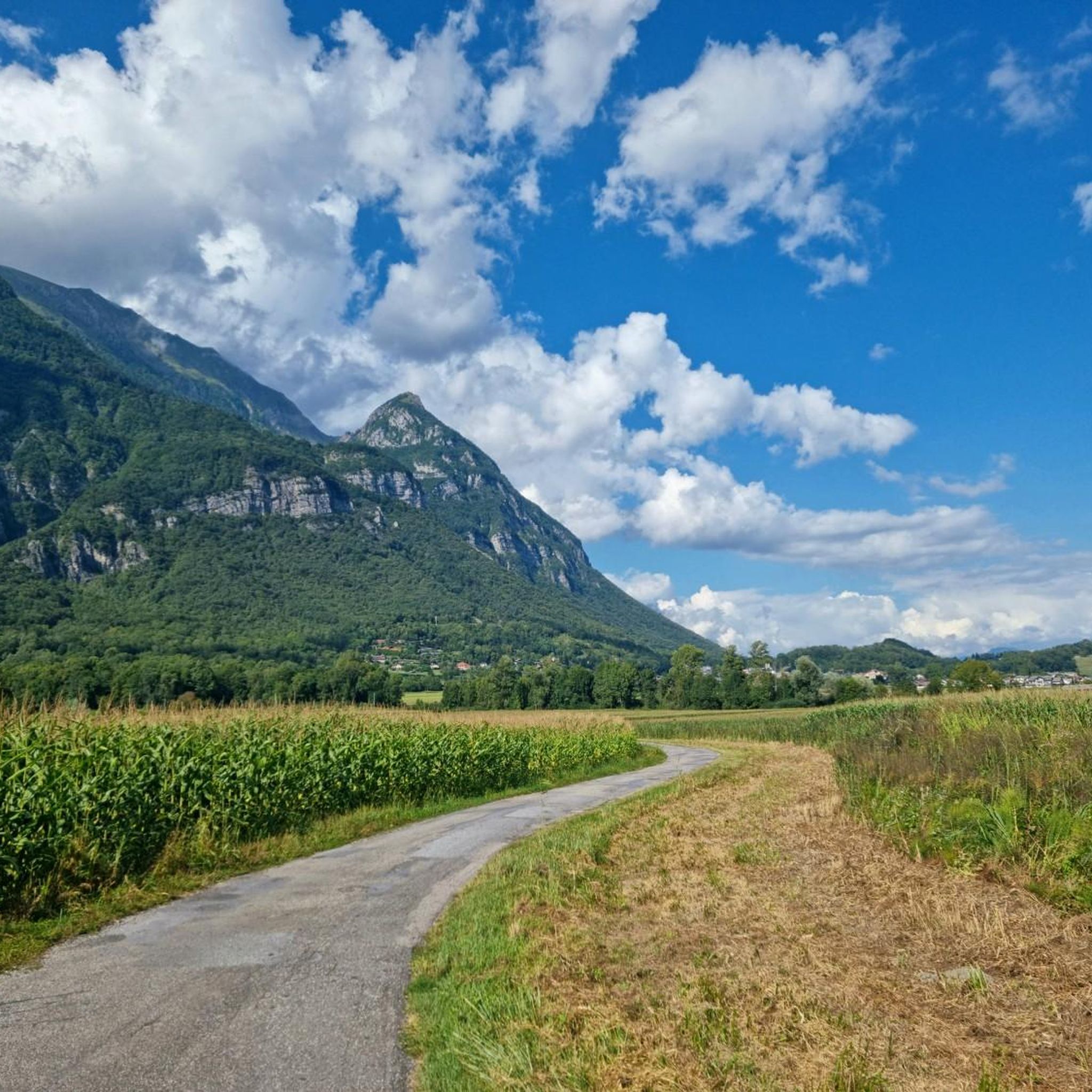
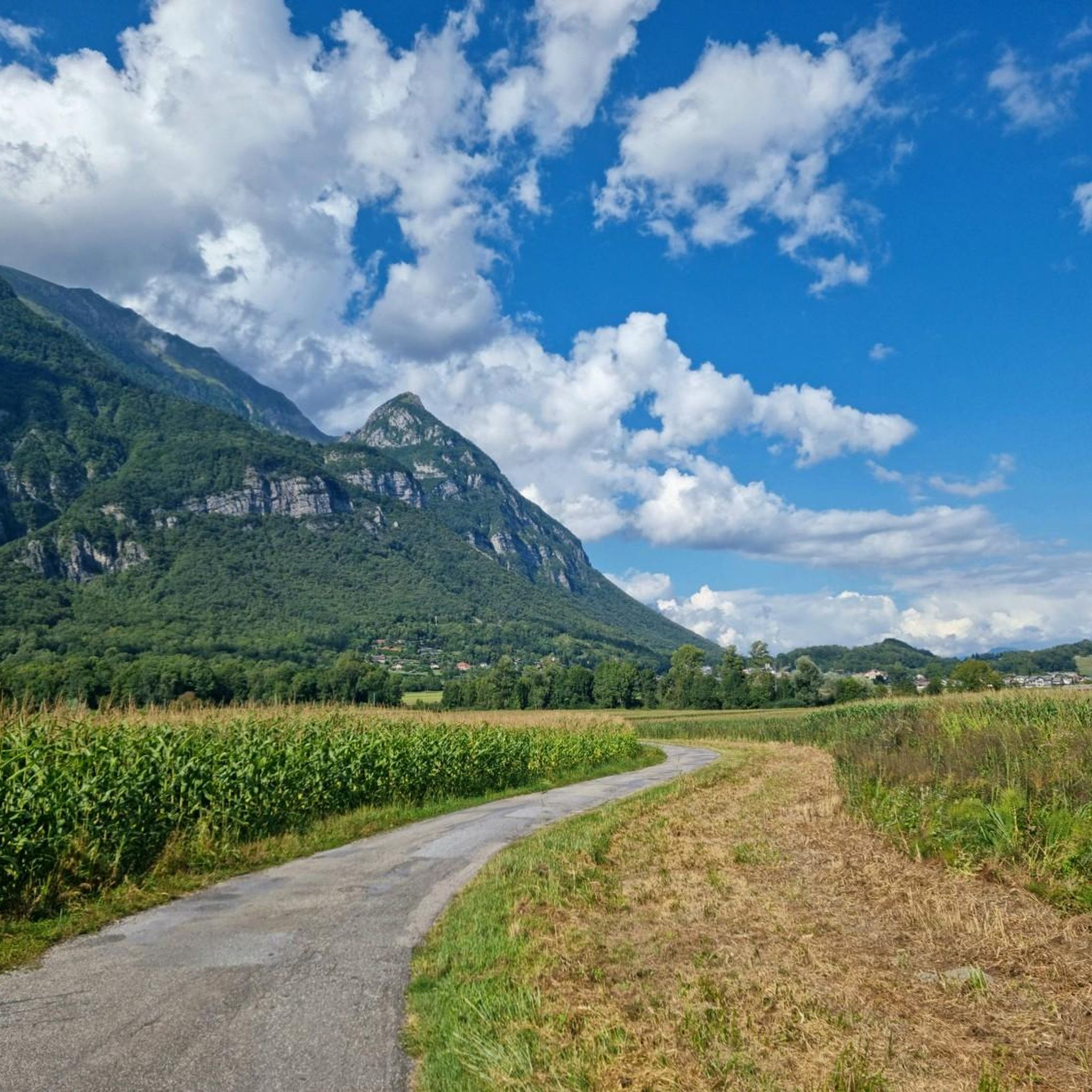
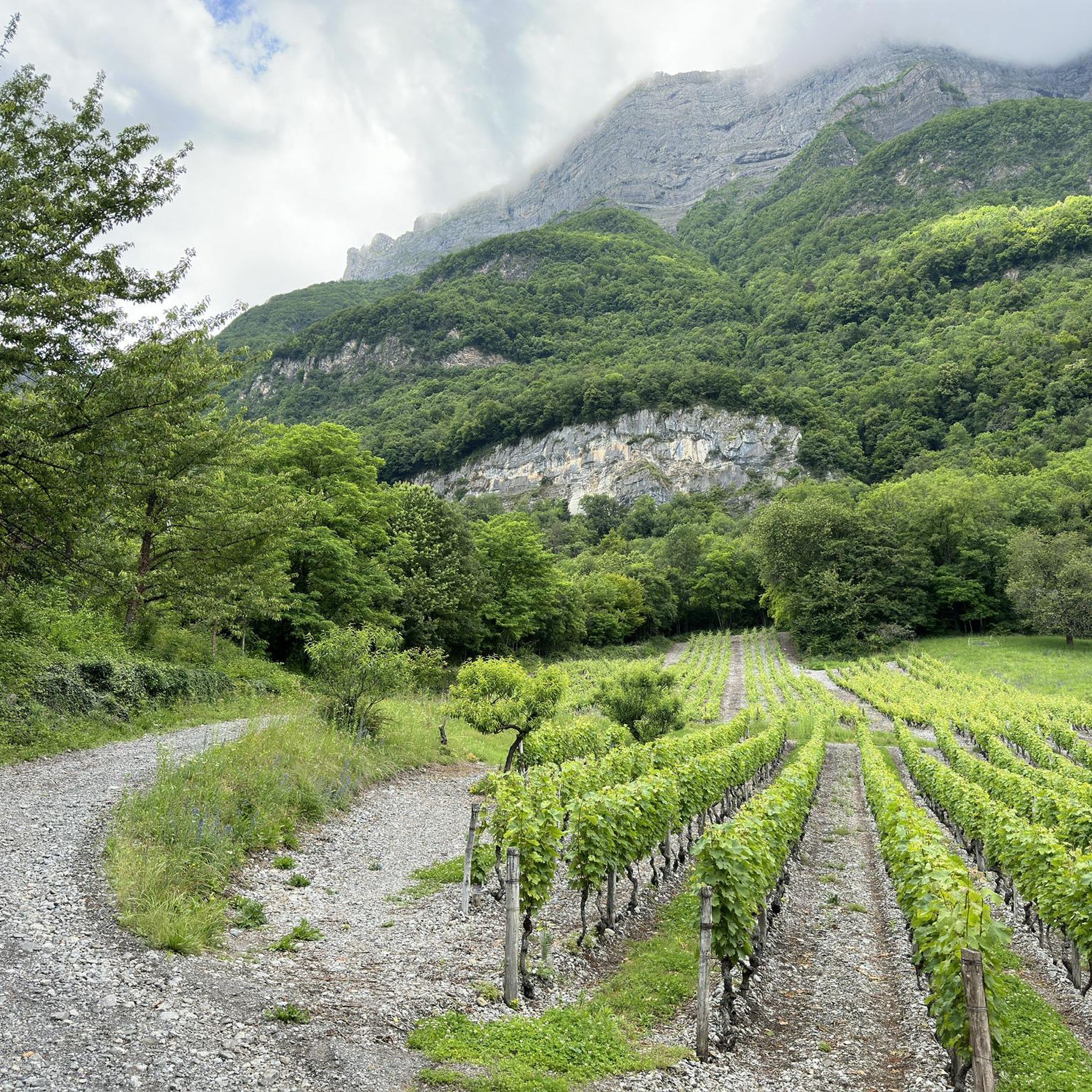
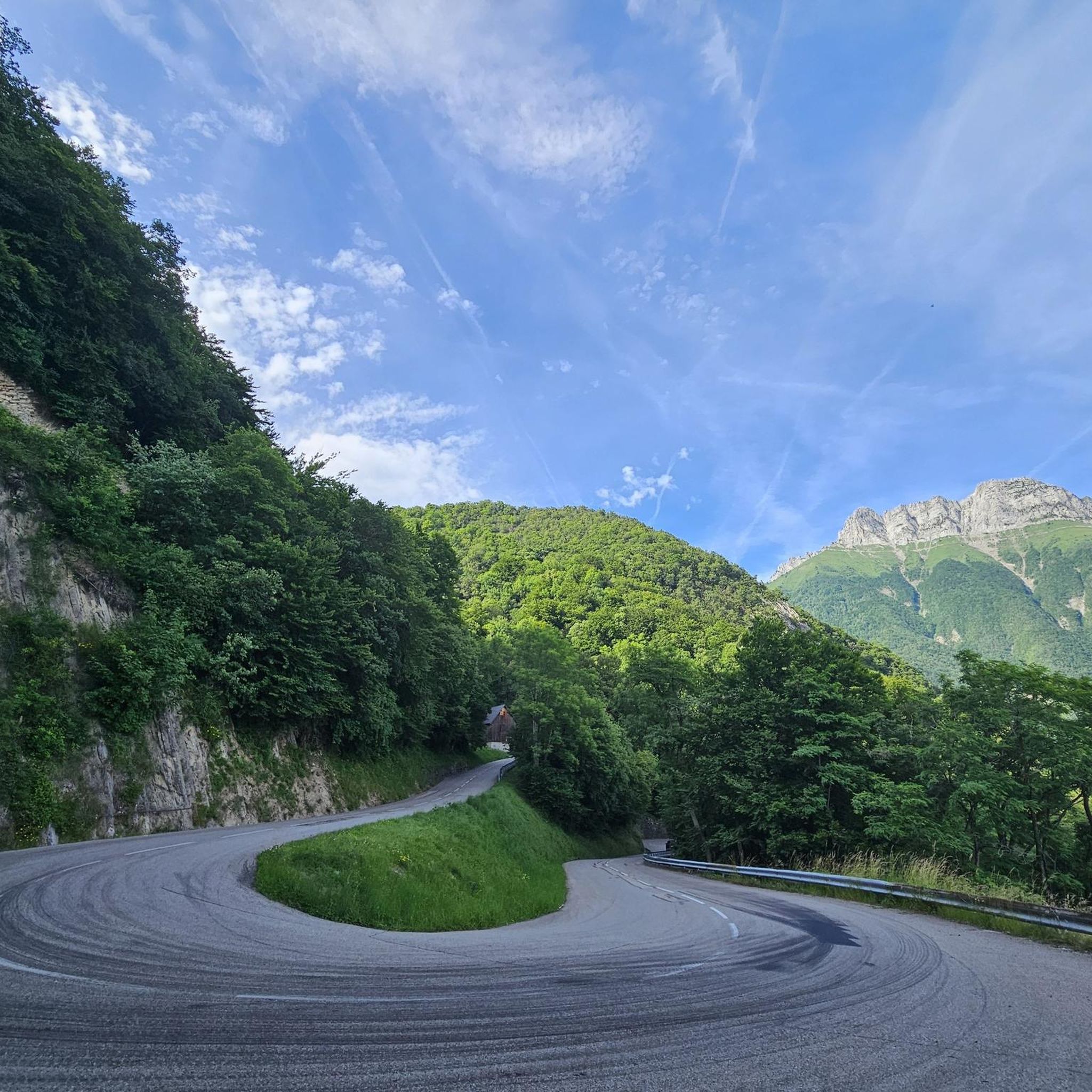
Jogging around Grésy-Sur-Isère, located in the Savoie department of the Auvergne-Rhône-Alpes region, offers diverse landscapes for runners. The area features a mix of flat fields, paths around Lake Grésy, and more challenging hilly terrain with elevations ranging from 292 to over 2,000 meters. This varied topography provides options for different running preferences, from gentle trails to routes with significant elevation changes. The region's natural features include the scenic Lac de Grésy and a network of paths that extend into surrounding…
Last updated: October 5, 2026
9
runners
10.8km
01:10
80m
80m
Moderate run. Good fitness required. Mostly paved surfaces. Suitable for all skill levels.
4
runners
4.30km
00:40
260m
260m
Hard run. Good fitness required. Sure-footedness, sturdy shoes and alpine experience required.

4
runners
19.4km
02:38
650m
650m
Hard run. Very good fitness required. Sure-footedness, sturdy shoes and alpine experience required.
2
runners
6.91km
00:43
70m
70m
Moderate run. Good fitness required. Mostly paved surfaces. Suitable for all skill levels.
3
runners
6.28km
00:39
20m
20m
Moderate run. Good fitness required. Mostly paved surfaces. Suitable for all skill levels.
Get access to more routes and recommendations from other explorers.
Already have an account?
Our route recommendations are based on thousands of hikes, rides, and runs completed by other people on komoot.
Start today with a free account
Your next adventure awaits.

Tips from the Community

Ideally located along the Bella Via about fifteen kilometers from Albertville, cyclists can stop to refill their bottles and cool off. Other activities such as fishing or tennis are also practiced here. Surrounding massifs: Bauges to the north, Belledonne and Vanoise to the south
0
0

The place is clean and pleasant. There's room for everyone: fishermen, walkers, swimmers, cyclists...
0
0
The place is nice and clean. Ideal for fishing and plenty of room for swimming. A greenway runs alongside the pond...
0
0


A cycle path at the bottom of the Grésivaudan valley. You can drive from Albertville to Montmélian.
2
0
The pond of Grésy is a beautiful place to enjoy the sun. There is an area for fishing, an area for swimming and also a restaurant by the lake. The cycle path that runs along the valley passes through here.
2
0

Restaurant the fisherman's hut pleasant setting very good food, always the best in the world and to book before!! I recommend!
1
0

Beautiful castle, listed as a historical monument since 1944, you can visit it for €9
1
0
Frequently Asked Questions
How many running routes are available around Grésy-sur-Isère?
There are over 10 dedicated running routes around Grésy-sur-Isère, offering a variety of distances and difficulty levels to explore the region's diverse landscapes.
What kind of terrain can I expect on the running trails near Grésy-sur-Isère?
The region around Grésy-sur-Isère offers a diverse mix of terrain. You'll find flat paths through open fields, scenic routes around Lake Grésy, and more challenging hilly paths with significant elevation changes, catering to various preferences and fitness levels.
Are there running routes suitable for beginners in Grésy-sur-Isère?
While there are no routes specifically classified as 'easy' in our current selection, many of the moderate routes, particularly those through open fields or around the lake, can be suitable for beginners. For example, the Bike path loop from Grésy-sur-Isère is a 3.7-mile (6.0 km) trail with minimal elevation, offering a gentle introduction to running in the area.
Can I find circular running trails in Grésy-sur-Isère?
Yes, many of the running routes around Grésy-sur-Isère are circular. A popular option is the Étang de Grésy loop from Grésy-sur-Isère, which offers a scenic 6.3-mile (10.1 km) run around Lake Grésy.
What natural features or landmarks can I see while jogging in Grésy-sur-Isère?
Jogging in Grésy-sur-Isère allows you to experience beautiful natural features and historical landmarks. You can run alongside the scenic Lac de Grésy, explore paths through open fields, or encounter significant mountain passes like Col du Frêne (950 m) and Tamié Pass. More challenging routes might even take you past historical sites such as the Miolans Castle – Château de Miolans.
Are there any family-friendly running routes in the area?
For families, routes with gentler terrain and shorter distances are ideal. The Bike path loop from Grésy-sur-Isère, at 3.7 miles (6.0 km) through open fields, is a great option for a family run or walk, offering an accessible and enjoyable experience.
Are dogs allowed on the running trails around Grésy-sur-Isère?
Many outdoor trails in the Grésy-sur-Isère region are dog-friendly, but it's always recommended to keep your dog on a leash, especially in areas with wildlife or near agricultural land. Always ensure to clean up after your pet to maintain the natural beauty of the trails.
What do other runners enjoy the most about jogging in Grésy-sur-Isère?
The running routes in Grésy-sur-Isère are highly rated by the komoot community, with an average score of 4.3 stars from over 20 reviews. Runners often praise the varied terrain, from tranquil lake paths to open fields, and the opportunities to combine physical activity with exploring the region's natural beauty.
Is there parking available near the running trailheads?
Yes, parking is generally available in and around Grésy-sur-Isère, particularly near popular starting points like the leisure base at Lac de Grésy or within the town itself. Specific parking details can often be found on individual route pages on komoot.
What is the best time of year for running in Grésy-sur-Isère?
Grésy-sur-Isère offers good running conditions for much of the year. Spring and autumn provide pleasant temperatures and beautiful scenery. Summer is also popular, especially around Lac de Grésy, though it can be warm. Winter running is possible, but higher elevation trails may be affected by snow or ice, so checking local conditions is advisable.
Are there any longer, more challenging running routes for experienced runners?
Absolutely. For experienced runners seeking a challenge, the region offers routes with significant elevation gain. The Miolans Castle – Château de Miolans loop from Grésy-sur-Isère is a difficult 11.5-mile (18.5 km) path with substantial ascents, perfect for those looking to push their limits.
Can I combine running with other activities in Grésy-sur-Isère?
Yes, Grésy-sur-Isère is an excellent base for combining running with other outdoor pursuits. After a run, you can enjoy swimming or fishing at Lac de Grésy during the summer months. The area is also popular for hiking and cycling, with numerous trails that can be explored.
Most popular routes around Grésy-Sur-Isère
Most popular attractions around Grésy-Sur-Isère

Get inspired with the komoot mobile app


Explore more
Browse the best Running Trails & Routes in other regions.
