The best MTB trails around Sainte-Hélène-Sur-Isère
4.6
(194)
1,623
riders
129
rides
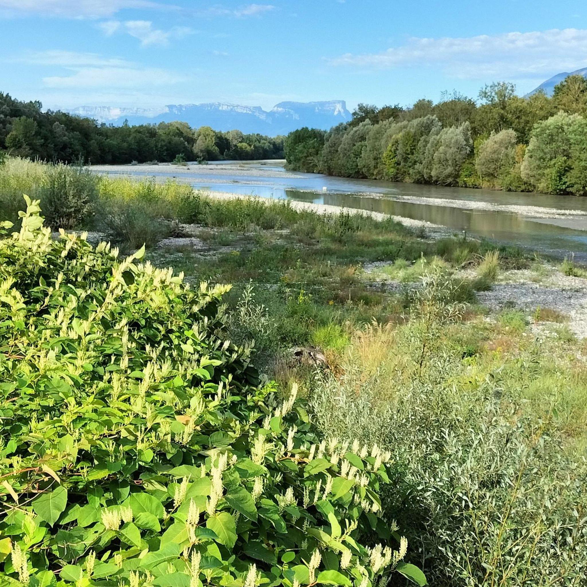
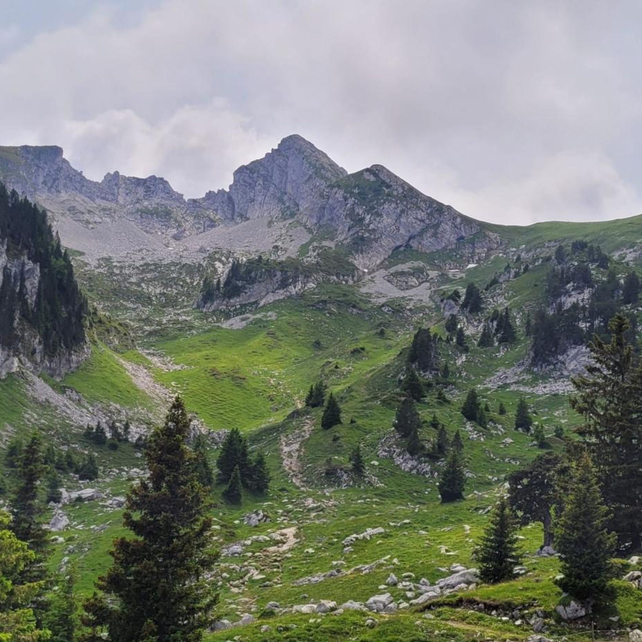
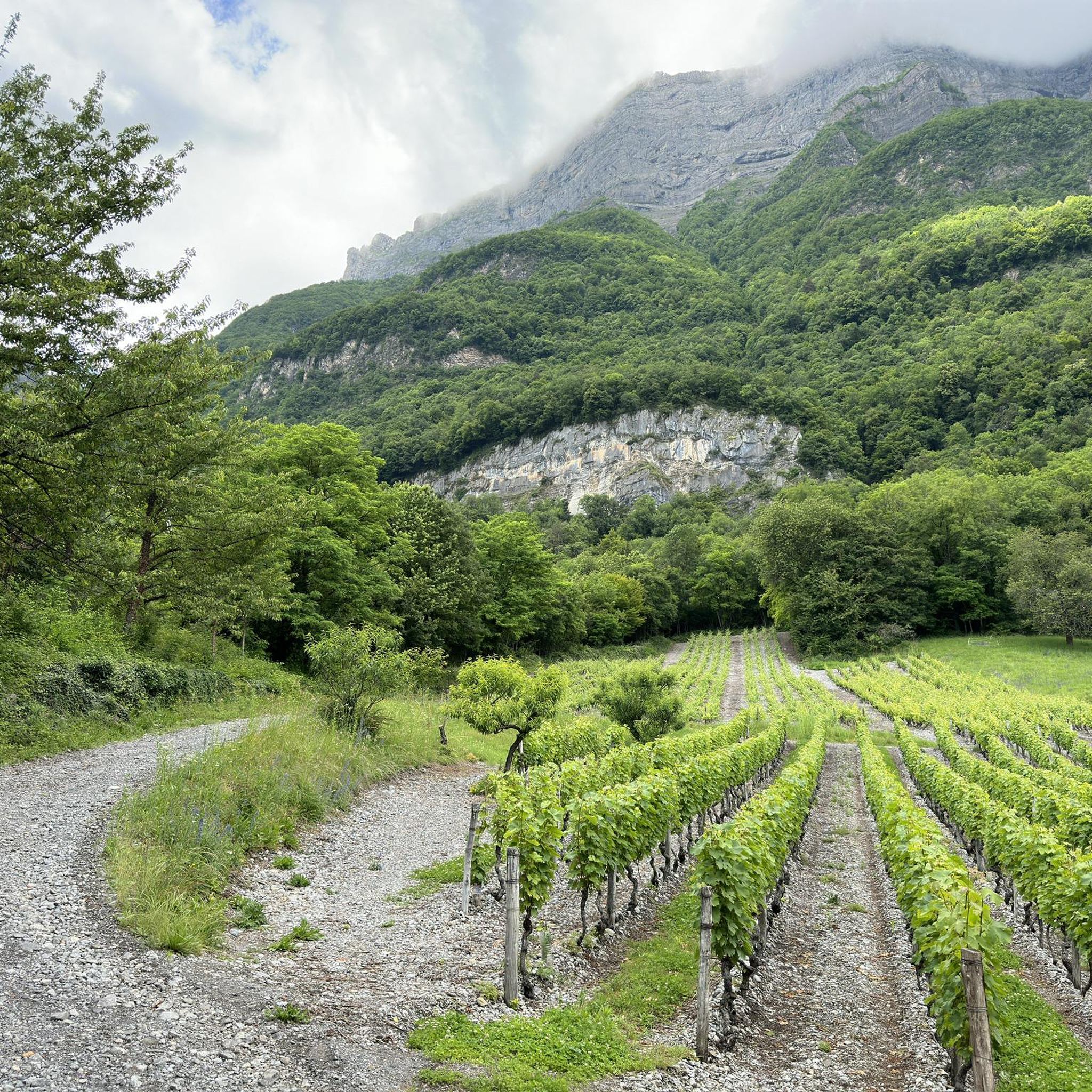
Mountain bike trails Sainte-Hélène-sur-Isère traverse a diverse landscape within the French Alps, characterized by significant elevation changes from 300 meters in the valley to 2200 meters in the mountains. The region features dense coniferous and chestnut forests, giving way to open alpine meadows and high-altitude pastures. The Isère River flows through the lower parts, offering scenic routes, while higher elevations provide access to massifs like Grand Arc and Alpages de la Thuile. This varied topography creates a range of terrains…
Last updated: October 4, 2026
4.6
(5)
41
riders
44.0km
04:28
1,500m
1,500m
Hard mountain bike ride. Very good fitness required. Suitable for all skill levels.
15
riders
58.6km
06:57
2,310m
2,310m
Hard mountain bike ride. Very good fitness required. Advanced riding skills necessary. Some portions of the route may require you to push your bike.

4.5
(4)
16
riders
45.1km
04:51
1,710m
1,710m
Hard mountain bike ride. Very good fitness required. Advanced riding skills necessary. Some portions of the route may require you to push your bike.
4.0
(2)
12
riders
41.1km
04:08
1,420m
1,420m
Hard mountain bike ride. Very good fitness required. Advanced riding skills necessary. Some portions of the route may require you to push your bike.
10
riders
30.6km
03:23
970m
970m
Hard mountain bike ride. Very good fitness required. Advanced riding skills necessary.
Get access to more routes and recommendations from other explorers.
Already have an account?
Our route recommendations are based on thousands of hikes, rides, and runs completed by other people on komoot.
Start today with a free account
Your next adventure awaits.

Tips from the Community

Nice gentle climb from Faverges. Several options are available at the top of the pass. Buy the famous Tamié cheese at the Abbaye Notre Dame or head to Ugine via Marthod on pleasant small roads, otherwise join Albertville or Chambéry.
0
0

A former fortress. Today it is a leisure center with various activities. You can even drive up by car - there are ample parking spaces. Please check the opening hours in advance. It is not open every day.
0
0

Opposite the abbey church is a drinking water fountain.
0
0

The descent between the Sambuy resort and La Glaise offers playful forest trails with a few jumps.
0
0
Located on the heights of Lake Annecy, this family-friendly resort is open winter and summer. Among the sports facilities are cycling trails that lead to discovering local heritage and expertise.
0
0

A hill with a lot of traffic, better on roads that run parallel.
0
0
In the Tamié valley, at an altitude of 900 meters, this Cistercian monastery is still active. Founded in the 12th century by monks, the abbey produces a famous cheese, Tamié.
1
0
Located at an altitude of 907 meters, this pass is located in the Bauges massif, in the town of Plancherine. It separates the valley of Savoie and Albertville from the Faverges valley and Lake Annecy.
2
0
Frequently Asked Questions
How many mountain bike trails are available in Sainte-Hélène-Sur-Isère?
There are over 100 mountain bike trails around Sainte-Hélène-Sur-Isère. This includes a diverse range of routes, with 12 easy, 51 moderate, and 50 difficult options, catering to various skill levels.
Are there mountain bike trails suitable for beginners in Sainte-Hélène-Sur-Isère?
Yes, Sainte-Hélène-Sur-Isère offers 12 easy mountain bike routes. These trails typically feature less elevation gain and smoother terrain, making them ideal for those new to mountain biking or looking for a more relaxed ride.
What kind of views can I expect on mountain bike trails around Sainte-Hélène-Sur-Isère?
The trails offer stunning panoramic views of the French Alps. From higher elevations, such as the Dent du Corbeau in the Massif du Grand Arc or the Alpages de la Thuile, you can often see iconic peaks like Mont Blanc, the Aravis, Bauges, Beaufortain, Vanoise, and Écrins massifs. The varied landscape also includes lush forests and the scenic Isère River valley.
Are there any circular mountain bike routes in the area?
Yes, many of the mountain bike routes around Sainte-Hélène-Sur-Isère are designed as loops. For example, you can explore the Lac de Fontaine Cluse loop from Frontenex, which offers varied terrain, or the Plan d'Eau de Queige – Mont Bisanne Summit View loop from Frontenex for a more challenging ride with extensive views.
What do other mountain bikers enjoy most about the trails in Sainte-Hélène-Sur-Isère?
The mountain bike trails in Sainte-Hélène-Sur-Isère are highly rated by the komoot community, with an average score of 4.5 stars from over 130 reviews. Riders frequently praise the diverse terrain, from dense forests to open alpine meadows, and the rewarding panoramic views of the surrounding massifs. The extensive network offers options for various ability levels, from moderate climbs to challenging descents.
Are there any challenging mountain bike trails for experienced riders?
Absolutely. The region's significant elevation changes, from 300 meters to 2200 meters, provide numerous challenging options. Routes like the Collet de Tamié (960 m) – Tamié Pass loop from Frontenex include demanding climbs and technical descents, rewarding experienced riders with alpine scenery and significant elevation gains.
What are some interesting landmarks or natural features to see along the mountain bike trails?
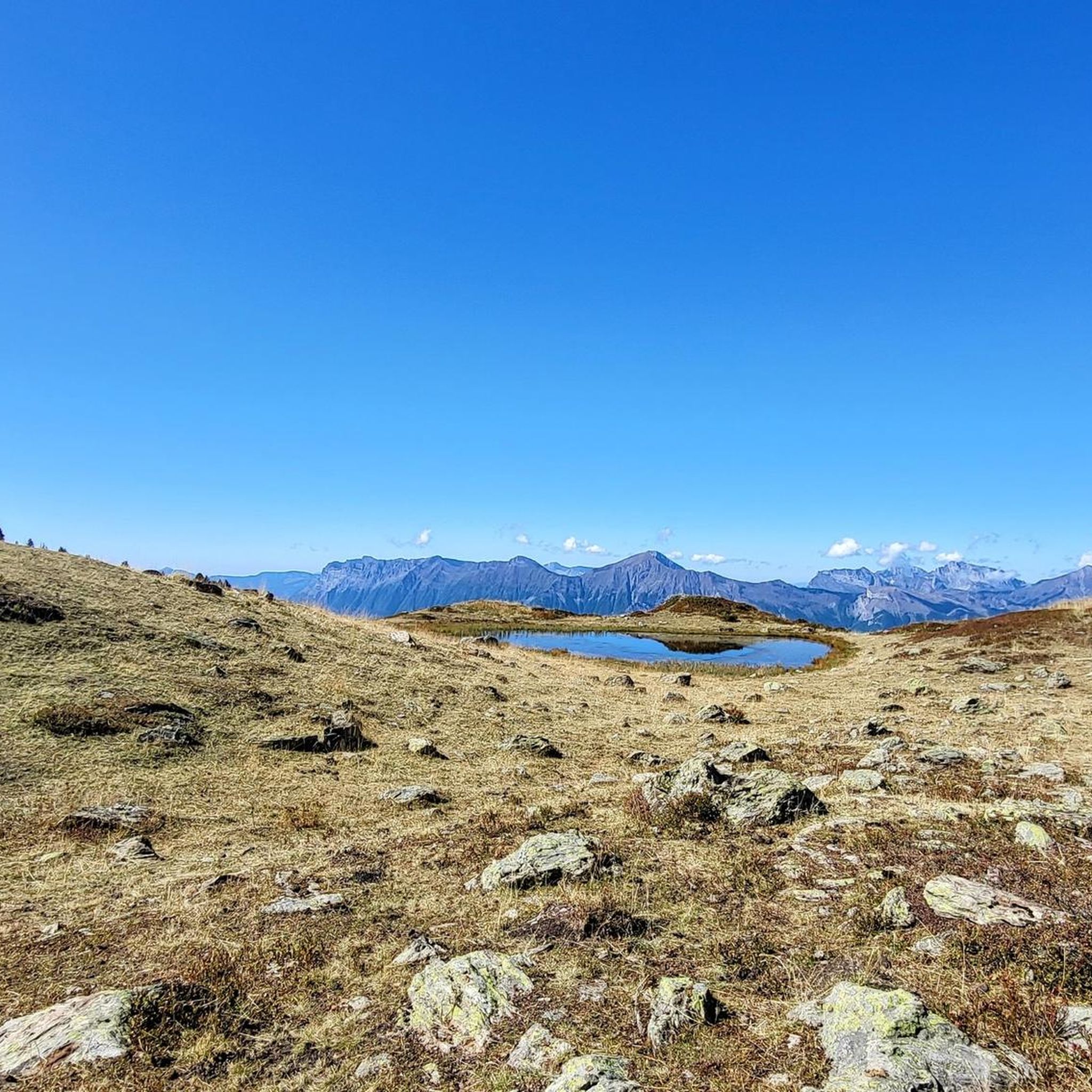
Beyond the stunning alpine scenery, you can encounter several notable landmarks and natural features. The Tamié Pass is a well-known point, and you might also pass by impressive summits like La Belle-Étoile or unique rock formations such as Pierre Besse. The Alpages de la Thuile also feature small lakes and opportunities to spot local wildlife.
What is the best time of year for mountain biking in Sainte-Hélène-Sur-Isère?
The best time for mountain biking is typically from late spring to early autumn (May to October). During these months, the weather is generally favorable, and the higher alpine trails are free of snow. The varied topography means you can find suitable routes even in shoulder seasons, with lower valley trails accessible earlier and later in the year.
Are there any mountain bike routes that follow the Isère River?
Yes, the Isère River flows through the lower parts of the commune, offering scenic routes. While not exclusively mountain bike trails, the riverside areas provide complementary recreational options and are part of the wider V62 cycle path network, which can be incorporated into rides for a more relaxed, flatter experience.
How long do mountain bike trails typically take to complete in this region?
Trail durations vary significantly based on distance, elevation, and difficulty. For instance, a moderate route like Conflans – The Oratory loop from Frontenex might take around 3 hours, while a more difficult and longer trail such as The Téo Route loop from Frontenex could take over 4 hours. Always check the estimated duration for specific routes on komoot.
What are the elevation gains like on mountain bike trails in Sainte-Hélène-Sur-Isère?
The elevation gains can be substantial, reflecting the alpine environment. Trails range from moderate climbs, such as the Conflans – The Oratory loop from Frontenex with over 660 meters of ascent, to very challenging routes like the Plan d'Eau de Queige – Mont Bisanne Summit View loop from Frontenex, which features over 2000 meters of climbing.
Most popular routes around Sainte-Hélène-Sur-Isère
Most popular attractions around Sainte-Hélène-Sur-Isère

Get inspired with the komoot mobile app


Explore more
Browse the best MTB trails in other regions.
