The best walks and hikes around Gilly-Sur-Isère
4.4
(403)
4,388
hikers
163
hikes
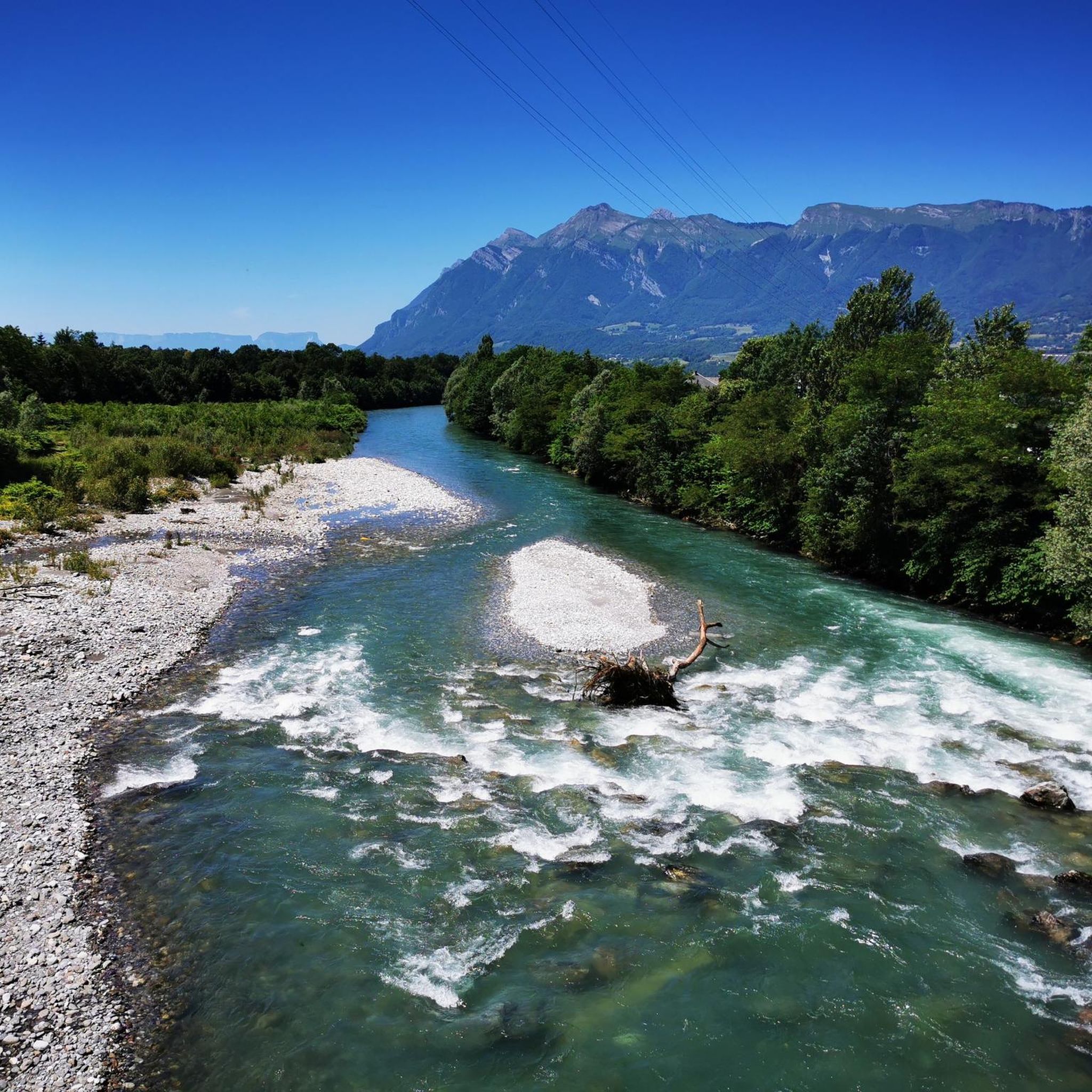
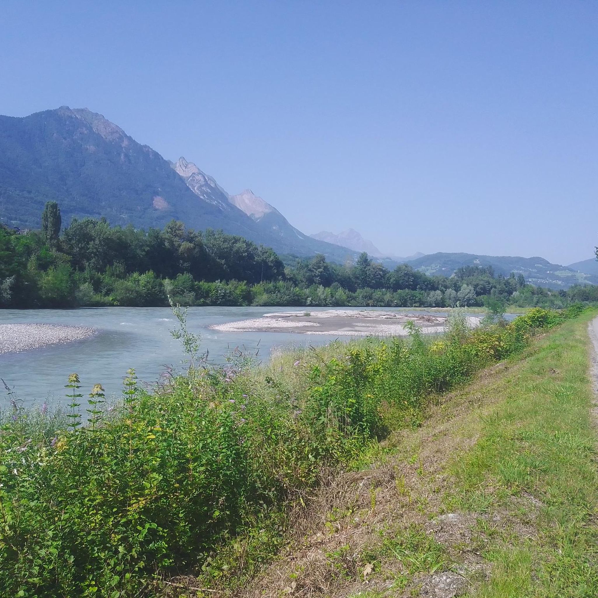
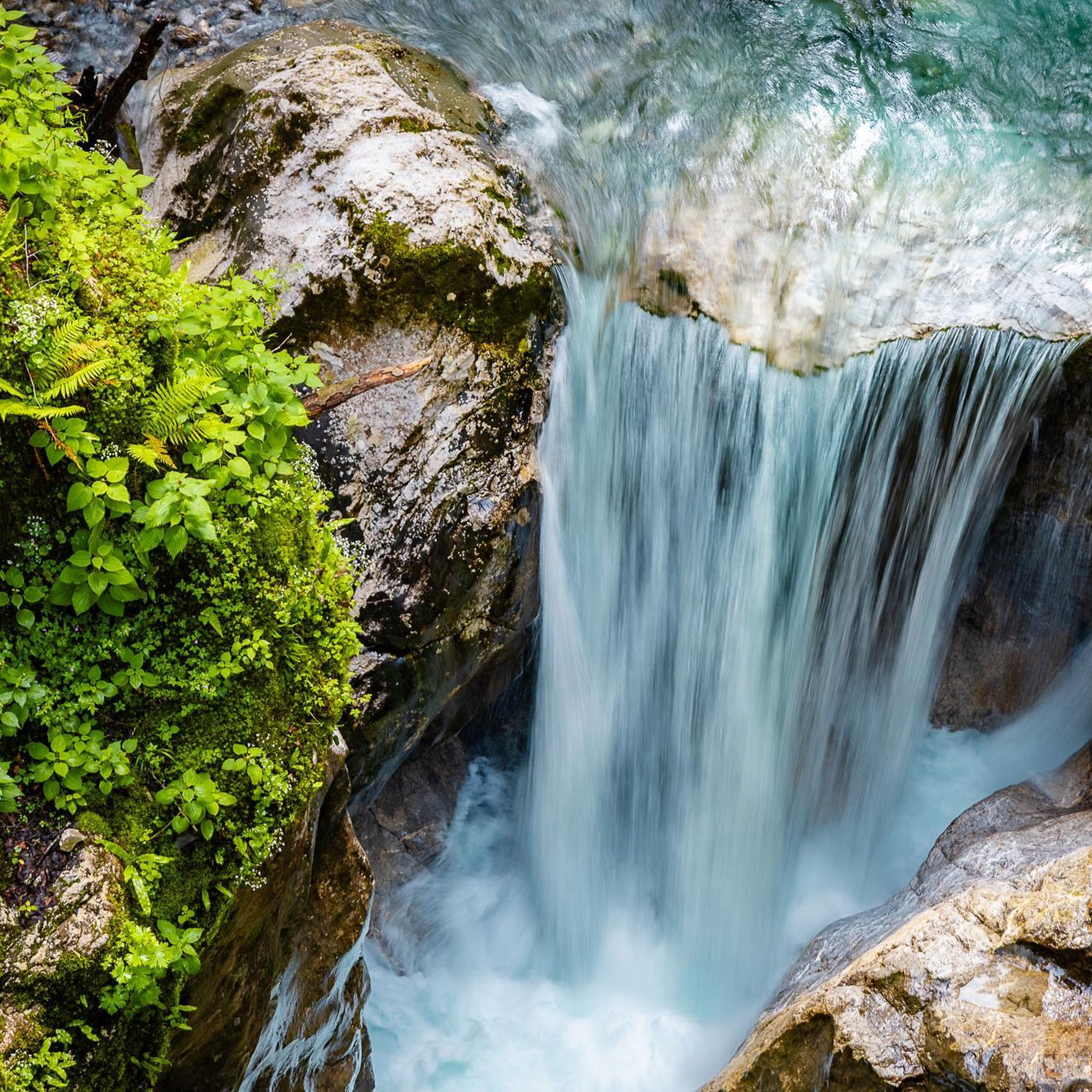
Hiking around Gilly-Sur-Isère offers diverse landscapes, characterized by mountainous terrain and panoramic views of the surrounding peaks, including distant glimpses of Mont Blanc. The region features a network of trails through varied ecosystems, from lush forests to open mountain passes, and is situated near natural parks like Vanoise National Park. Hikers can explore picturesque lakes and discover hidden waterfalls, providing a range of natural features for outdoor activities.
Best hiking trails around Gilly-Sur-Isère
- The most popular hiking route is Conflans…
Last updated: October 7, 2026
4.3
(4)
32
hikers
13.3km
04:31
660m
660m
Moderate hike. Good fitness required. Easily-accessible paths. Suitable for all skill levels.
28
hikers
3.06km
00:47
10m
10m
Easy hike. Great for any fitness level. Easily-accessible paths. Suitable for all skill levels.

8
hikers
9.45km
02:41
210m
210m
Moderate hike. Good fitness required. Easily-accessible paths. Suitable for all skill levels.
3
hikers
3.29km
00:56
70m
70m
Easy hike. Great for any fitness level. Easily-accessible paths. Suitable for all skill levels.
4
hikers
5.68km
02:01
330m
330m
Moderate hike. Good fitness required. Easily-accessible paths. Suitable for all skill levels.
Get access to more routes and recommendations from other explorers.
Already have an account?
Our route recommendations are based on thousands of hikes, rides, and runs completed by other people on komoot.
Start today with a free account
Your next adventure awaits.


Tips from the Community

Nice gentle climb from Faverges. Several options are available at the top of the pass. Buy the famous Tamié cheese at the Abbaye Notre Dame or head to Ugine via Marthod on pleasant small roads, otherwise join Albertville or Chambéry.
0
0

Very worth seeing all around
0
0
A former fortress. Today it is a leisure center with various activities. You can even drive up by car - there are ample parking spaces. Please check the opening hours in advance. It is not open every day.
0
0

A hill with a lot of traffic, better on roads that run parallel.
0
0

Located at an altitude of 907 meters, this pass is located in the Bauges massif, in the town of Plancherine. It separates the valley of Savoie and Albertville from the Faverges valley and Lake Annecy.
2
0

Incredibly beautiful mountain valley like a park.
2
0

great vantage point to see Mont Blanc when the weather is nice
1
0
Definitely worth a visit, there is a lot to see, including a vantage point for Mont Blanc
3
0
Frequently Asked Questions
How many hiking trails are available around Gilly-sur-Isère?
Gilly-sur-Isère offers a wide variety of hiking opportunities, with nearly 160 routes recorded on komoot. These range from easy strolls to challenging expeditions, catering to all fitness levels.
What kind of landscapes can I expect to see while hiking in Gilly-sur-Isère?
The region is characterized by diverse mountainous terrain, offering breathtaking panoramic views, including distant glimpses of Mont Blanc. You'll hike through lush forests, open mountain passes, and discover picturesque lakes like Lac Noir, along with hidden waterfalls. The area is also close to the Vanoise National Park and the Massif des Bauges Regional Nature Park, ensuring a rich natural environment.
Are there any easy, family-friendly hikes in the area?
Yes, Gilly-sur-Isère has 35 easy routes suitable for families or those looking for a leisurely walk. The region offers options like the Lac Noir loop, which is approximately 6 kilometers and perfect for a relaxed outing with a picnic by the water.
Can I find circular hiking routes around Gilly-sur-Isère?
Many of the trails in Gilly-sur-Isère are designed as loops. For example, the moderate Conflans Fountain – Conflans loop from Albertville is a popular choice, covering 13.4 km. Another excellent option is the Tamié Pass – Fort de Tamié loop from Verrens-Arvey, which is 13.8 km and winds through mountain passes.
What are some notable landmarks or points of interest I can explore on a hike?
Beyond the natural beauty, you can encounter historical and cultural sites. The medieval town of Conflans, with its cobbled streets, is a charming stop. The Fort de Tamié, a former military structure, now serves as a multi-activity base. For natural landmarks, consider routes that offer views of peaks like La Belle-Étoile or Dent of Cons.
Are there any challenging hikes for experienced trekkers?
Absolutely. For those seeking a more demanding adventure, there are 43 difficult routes. A notable challenging option is the Conflans – Conflans Fountain loop from Albertville, which spans 21.0 km and involves significant elevation gain, requiring very good fitness.
What do other hikers say about the trails in Gilly-sur-Isère?
The hiking routes in Gilly-sur-Isère are highly regarded by the komoot community, holding an average rating of 4.5 stars from over 360 reviews. Hikers frequently praise the diverse terrain, panoramic viewpoints, and the well-maintained paths that offer a rewarding outdoor experience.
Can I see Mont Blanc from any of the hiking trails?
Yes, several trails offer distant, stunning views of Mont Blanc. The View of Mont Blanc – Tamié Pass loop from Mercury is specifically known for its scenic mountain terrain with these iconic vistas.
Are there any huts or refuges along the hiking routes for breaks or overnight stays?
Yes, the region has several huts and refuges that can serve as excellent spots for a break or even an overnight stay. Notable options include the Drison Refuge and Chalet de la Bouchasse, providing opportunities to extend your hiking adventure.
What kind of wildlife might I encounter on the trails?
The diverse ecosystems of the Isère region provide habitats for various wildlife. While hiking, you might have the chance to observe local animals such as deer, ibex, and marmots in their natural environment, especially in quieter, more remote areas.
Are there any trails that pass by waterfalls?
The Isère region is known for its hidden waterfalls. While specific named waterfall trails are not listed, many routes traverse areas with diverse aquatic landscapes, increasing the likelihood of encountering these natural features, particularly after rainfall or during spring thaws.
What is the best time of year to go hiking in Gilly-sur-Isère?
The region is excellent for outdoor activities throughout much of the year. Spring and autumn offer pleasant temperatures and vibrant scenery, while summer provides longer daylight hours. However, some higher-altitude trails might be inaccessible due to snow in winter, so it's always best to check local conditions before heading out.
Most popular routes around Gilly-Sur-Isère
Most popular attractions around Gilly-Sur-Isère

Get inspired with the komoot mobile app


Explore more
Browse the best Hikes in other regions.
