The best walks and hikes around Chalezeule
4.5
(673)
5,657
hikers
401
hikes
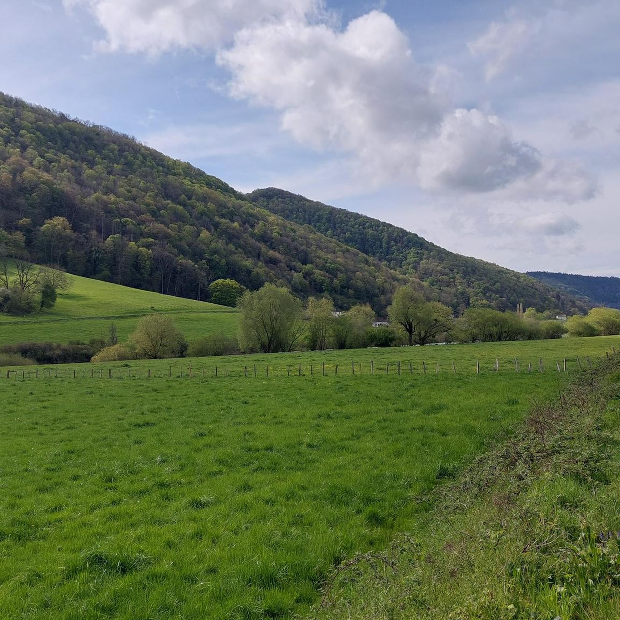
Hiking around Chalezeule offers diverse terrain within the Doubs department of eastern France. The region features an elevation range from 240 to 400 meters, providing varied landscapes for exploration. Key natural features include the Doubs river, the Brégille forest, and viewpoints such as the Belvédère de Chalezeule. This area provides a mix of forest paths and open vistas, suitable for outdoor activities.
Best hiking trails around Chalezeule
- The most popular hiking route is Château de Montfaucon – Montfaucon Viewpoint loop…
Last updated: May 12, 2026
4.6
(21)
104
hikers
10.0km
03:09
370m
370m
Moderate hike. Good fitness required. Easily-accessible paths. Suitable for all skill levels.
4.9
(8)
47
hikers
8.19km
02:42
380m
380m
Moderate hike. Good fitness required. Mostly accessible paths. Sure-footedness required.

Sign up for free
3.5
(2)
26
hikers
8.60km
02:39
290m
290m
Moderate hike. Good fitness required. Easily-accessible paths. Suitable for all skill levels.
4.6
(5)
66
hikers
8.20km
02:16
140m
140m
Moderate hike. Good fitness required. Easily-accessible paths. Suitable for all skill levels.
5.0
(2)
17
hikers
8.86km
02:44
320m
320m
Moderate hike. Good fitness required. Easily-accessible paths. Suitable for all skill levels.
Get access to more routes and recommendations from other explorers.
Sign up for free
Already have an account?
Our route recommendations are based on thousands of hikes, rides, and runs completed by other people on komoot.
Start today with a free account
Your next adventure awaits.
Login or Signup
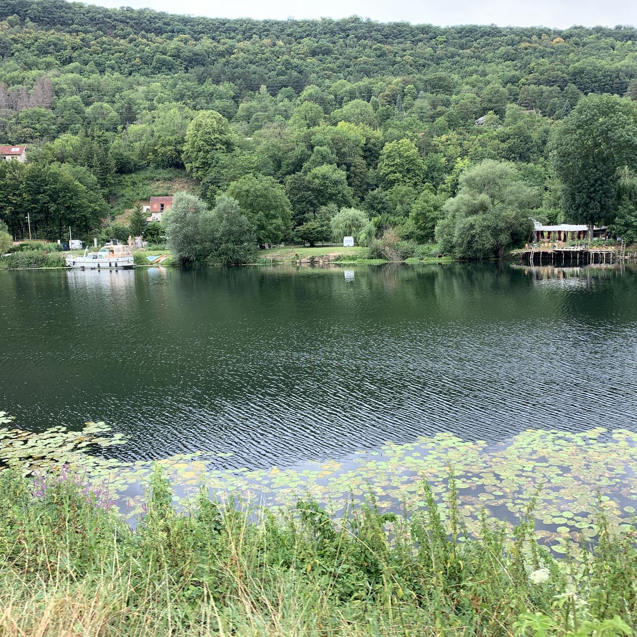
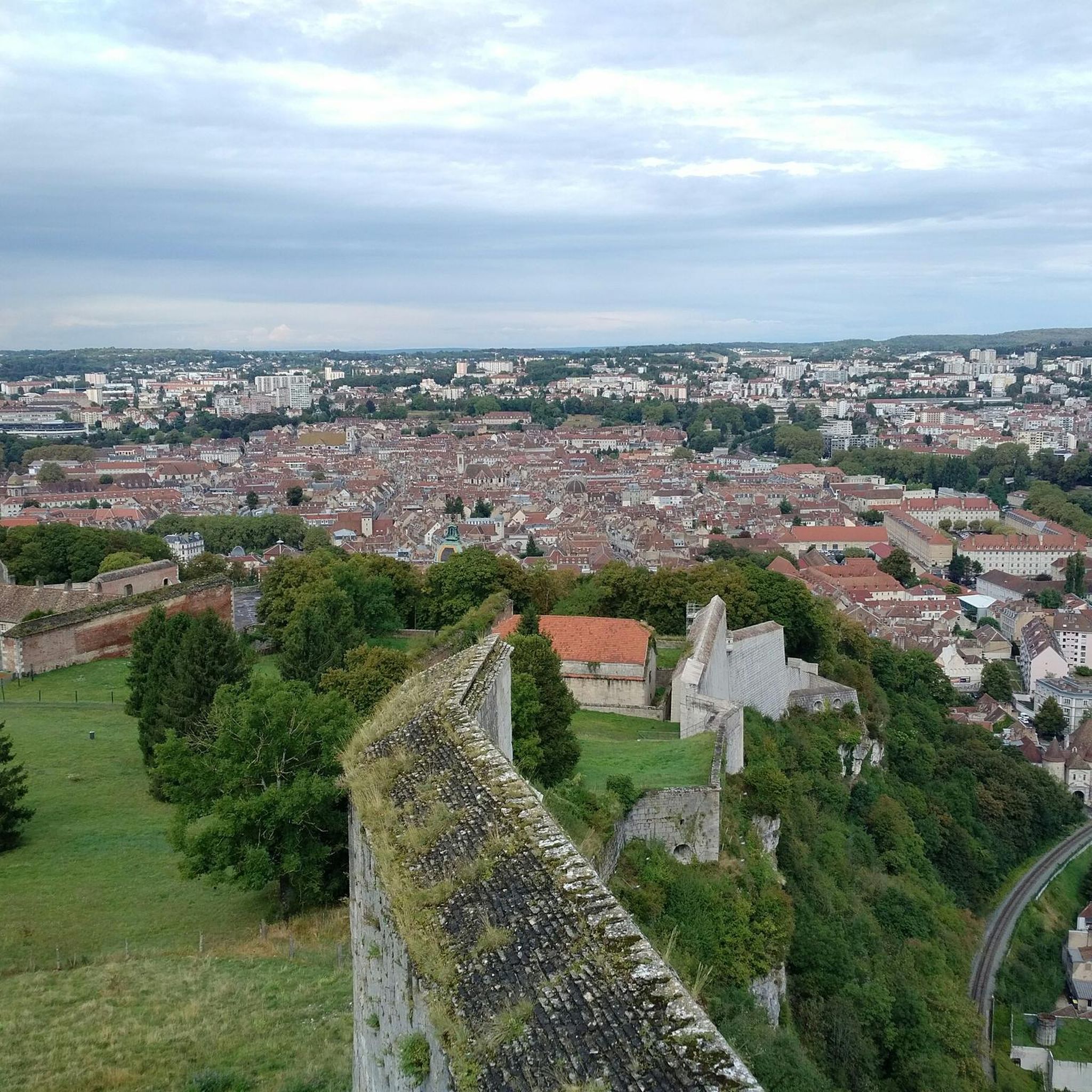
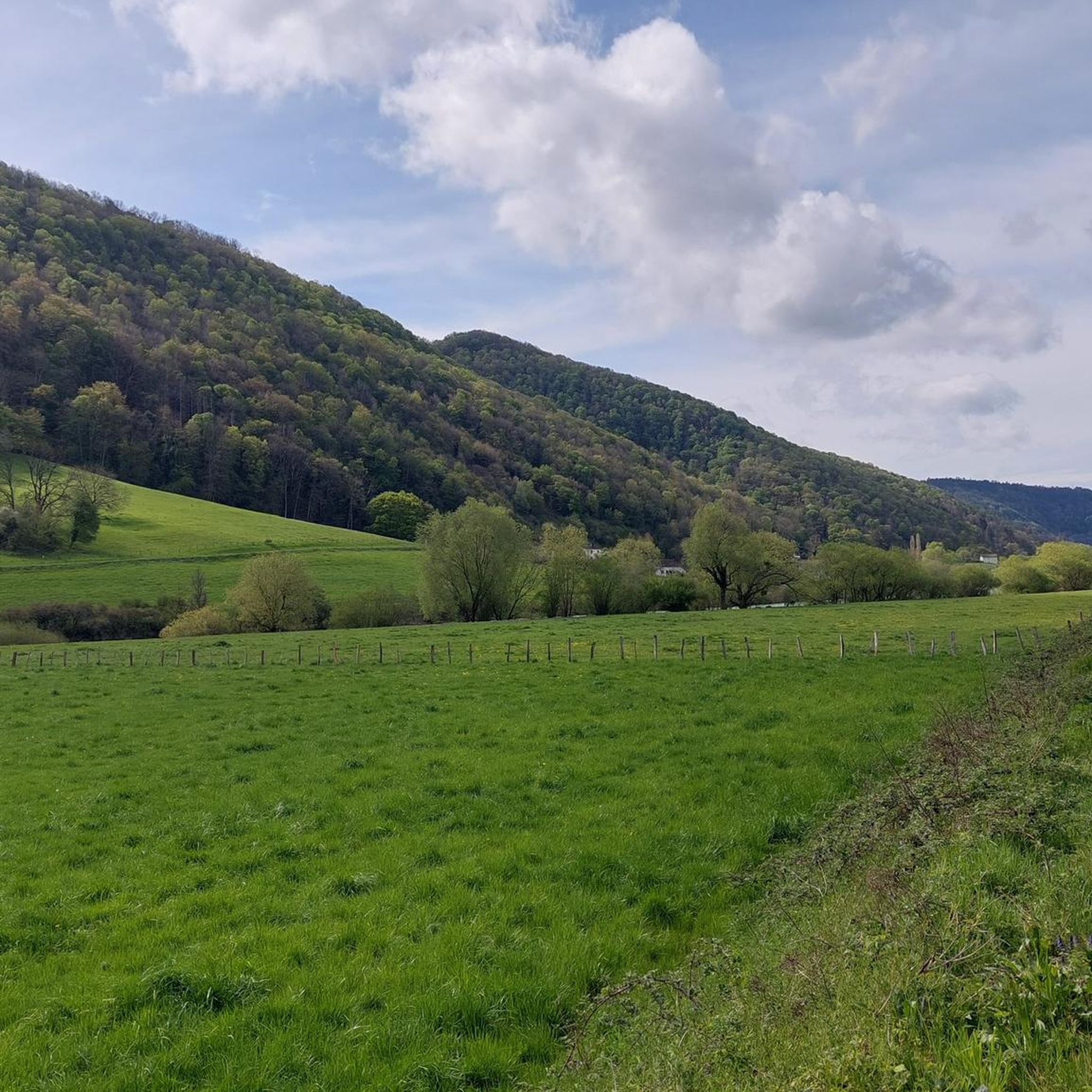
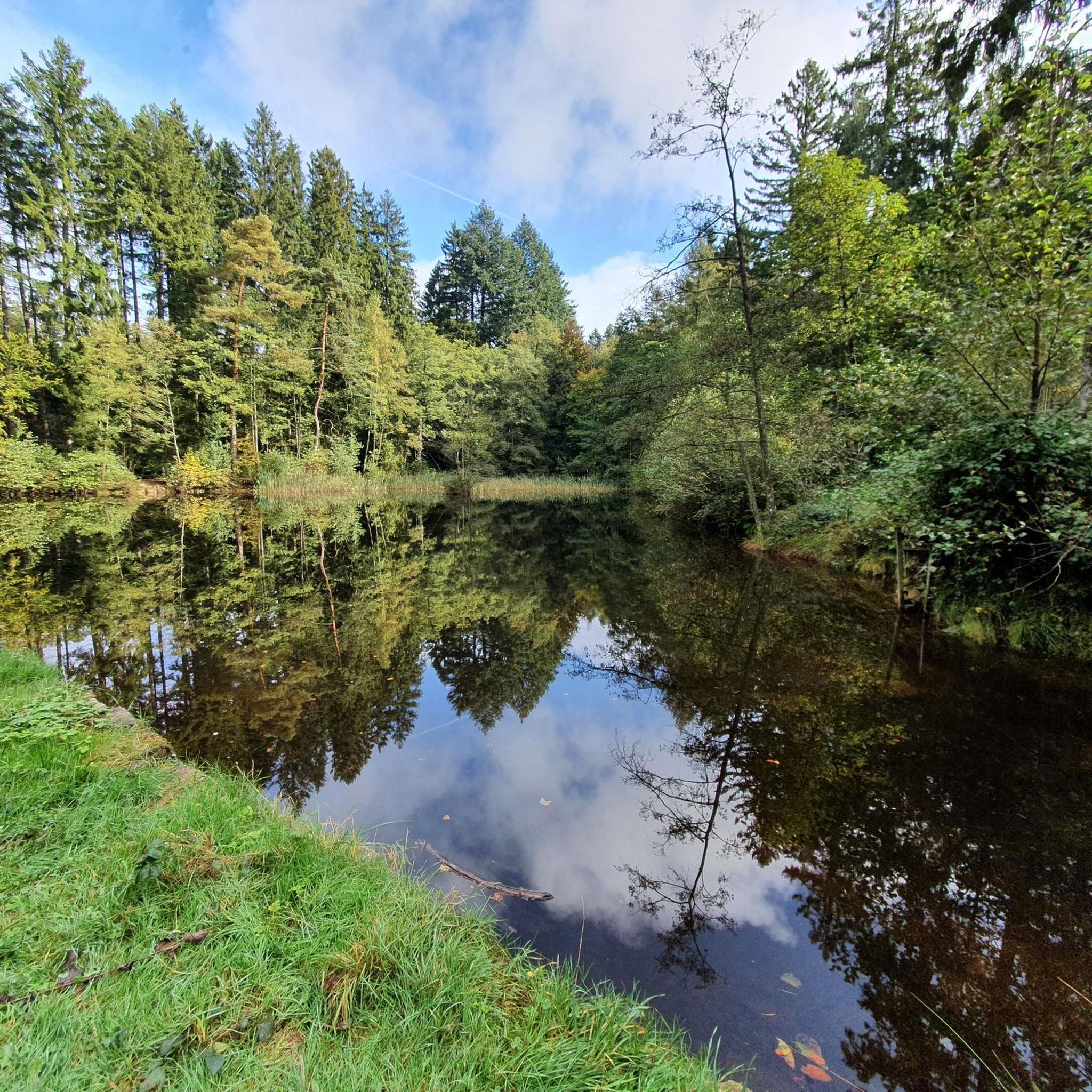
Tips from the Community

The fort is not accessible, but you have a great view of the citadel and the city.
0
0

Fort de Brégile: Perfect for trail running, both rocky and muddy.
0
0

The three Arcier springs are fed by the infiltration waters of the Nancray plateau. Shortly after they gush out of the mountain in beautiful waterfalls, they come together to form the Arcier stream, which quickly flows into the Doubs. They have been known since antiquity, and supply Besançon with water via a Roman aqueduct of which remains remain. Currently, a trout fish farm benefits from its pure, fresh waters.
0
0

This belvedere is one of the most spectacular in the heights of Besançon. It opens a wide window onto the Doubs valley, the Citadel of Besançon and the Jura mountains. As a bonus, when the horizon clears, you can also enjoy a superb view of the Mont-Blanc range. This belvedere is also an opportunity to learn a little history since you are on the site of Fort Woirol with several observation posts and the Montfaucon redoubt.
0
0
If you like to ride hard in the woods this segment is for you. A long straight line to have a little fun in the woods and pick up speed. Be careful with pedestrians though, the path is not exclusively cycle-friendly.
2
0


The sources of Arcier are three karstic sources resulting from a hilly circus of trees and green forests. They meet after 300 meters and flow into the Doubs. Natura 2000 site, the spring water comes from the natural drainage of the watershed of the Saône-Nancray plateau and is filtered by the Saône marshes.
2
0
Frequently Asked Questions
How many hiking trails are available around Chalezeule?
There are over 380 hiking routes around Chalezeule, offering a wide range of options. This includes more than 150 easy trails, over 200 moderate routes, and around 30 more challenging hikes, catering to various skill levels.
What kind of terrain can I expect on hikes in Chalezeule?
Hikes in Chalezeule feature diverse terrain, ranging from 240 to 400 meters in elevation. You'll find a mix of tranquil forest paths, particularly within the Brégille forest, and open vistas offering panoramic views of the Doubs river and the surrounding landscape.
Are there any easy hiking routes suitable for beginners or families?
Yes, Chalezeule offers over 150 easy hiking routes perfect for beginners or families. An example is the Fort de Bregille – Fort de Bregille loop from Besançon, which is an easy 6.5 km trail. These trails often feature gentle gradients and well-maintained paths.
Are there any circular walks or loop trails in the Chalezeule area?
Many of the trails around Chalezeule are designed as circular walks. For instance, the Arcier Springs loop from Chalezeule is a popular 8.6 km route that takes you through natural springs and woodlands, returning to your starting point.
What are the best viewpoints or natural features to see on a hike?
The region is known for its scenic viewpoints. The Belvédère de Chalezeule offers panoramic vistas of the Doubs river, the ruins of Montfaucon castle, and Besançon. The Brégille forest also contains trails with views of the Citadel of Besançon. You can also explore natural features like the Arcier Springs, as seen on the Arcier Springs – Bench where you can rest loop from Chalèze.
Are there any historical landmarks or attractions near the hiking trails?
Yes, several historical landmarks are accessible. The ruins of Montfaucon castle are a prominent feature, often visible from trails like the Château de Montfaucon – Montfaucon Viewpoint loop from Montfaucon. The area also offers views of the historic Citadel of Besançon and other man-made monuments like the Porte Noire (Black Gate).
What do other hikers enjoy most about hiking in Chalezeule?
The hiking experience in Chalezeule is highly rated by the komoot community, with an average score of 4.5 stars from over 600 reviews. Hikers often praise the varied terrain, the tranquil forest paths, and the panoramic viewpoints overlooking the Doubs river and historical sites.
Is there parking available near the trailheads in Chalezeule?
While specific parking details vary by trailhead, Chalezeule is generally accessible for hikers arriving by car. Many routes, especially those starting from villages or popular viewpoints, typically have designated parking areas nearby. It's advisable to check the route details on komoot for specific parking information for your chosen trail.
Can I reach hiking trails in Chalezeule using public transport?
Chalezeule benefits from its proximity to Besançon, which has public transport links. Some trails may be accessible via local bus services from Besançon, allowing you to reach starting points without a car. For detailed public transport options, it's best to consult local transport schedules for routes serving Chalezeule and surrounding areas.
Are there any trails that pass by waterfalls or caves?
Yes, the region offers natural features like caves and waterfalls. The Brégille forest, for example, features a route that passes by the 'Grotte du Renard' (Fox's Cave). Additionally, the nearby Bout du Monde Waterfall is a notable natural monument that can be incorporated into longer hikes in the wider area.
What is the best time of year to go hiking in Chalezeule?
Chalezeule offers enjoyable hiking experiences throughout much of the year. Spring and autumn provide pleasant temperatures and beautiful scenery, with vibrant foliage in fall. Summer is also popular, though some trails might be warmer. Winter hiking is possible, but conditions can vary, so checking local weather is always recommended.
Most popular routes around Chalezeule
Most popular attractions around Chalezeule

Get inspired with the komoot mobile app


Explore more
Browse the best Hikes in other regions.
