The best road cycling routes around Saint-Avit
4.5
(6)
130
riders
39
rides
Road cycling routes around Saint-Avit traverse a landscape characterized by rolling hills and rural countryside. The region features varied terrain, including ascents and descents, suitable for different levels of road cyclists. Routes often pass through areas with historical landmarks and natural features like ponds and river sources. This provides a diverse backdrop for road cycling activities.
Best road cycling routes around Saint-Avit
- The most popular road cycling route is Puy de Faux bridge – Source du Cher loop from Mérinchal…
Last updated: November 2, 2026
13
riders
55.6km
02:35
700m
700m
Moderate road ride. Good fitness required. Mostly well-paved surfaces and easy to ride.
6
riders
68.5km
03:15
930m
930m
Hard road ride. Very good fitness required. Mostly well-paved surfaces and easy to ride.

4.0
(2)
5
riders
37.8km
01:39
390m
390m
Moderate road ride. Good fitness required. Mostly well-paved surfaces and easy to ride.
7
riders
39.7km
01:49
480m
480m
Moderate road ride. Good fitness required. Mostly well-paved surfaces and easy to ride.
5
riders
24.7km
01:05
250m
250m
Easy road ride. Mostly well-paved surfaces and easy to ride.
Get access to more routes and recommendations from other explorers.
Already have an account?
Our route recommendations are based on thousands of hikes, rides, and runs completed by other people on komoot.
Start today with a free account
Your next adventure awaits.
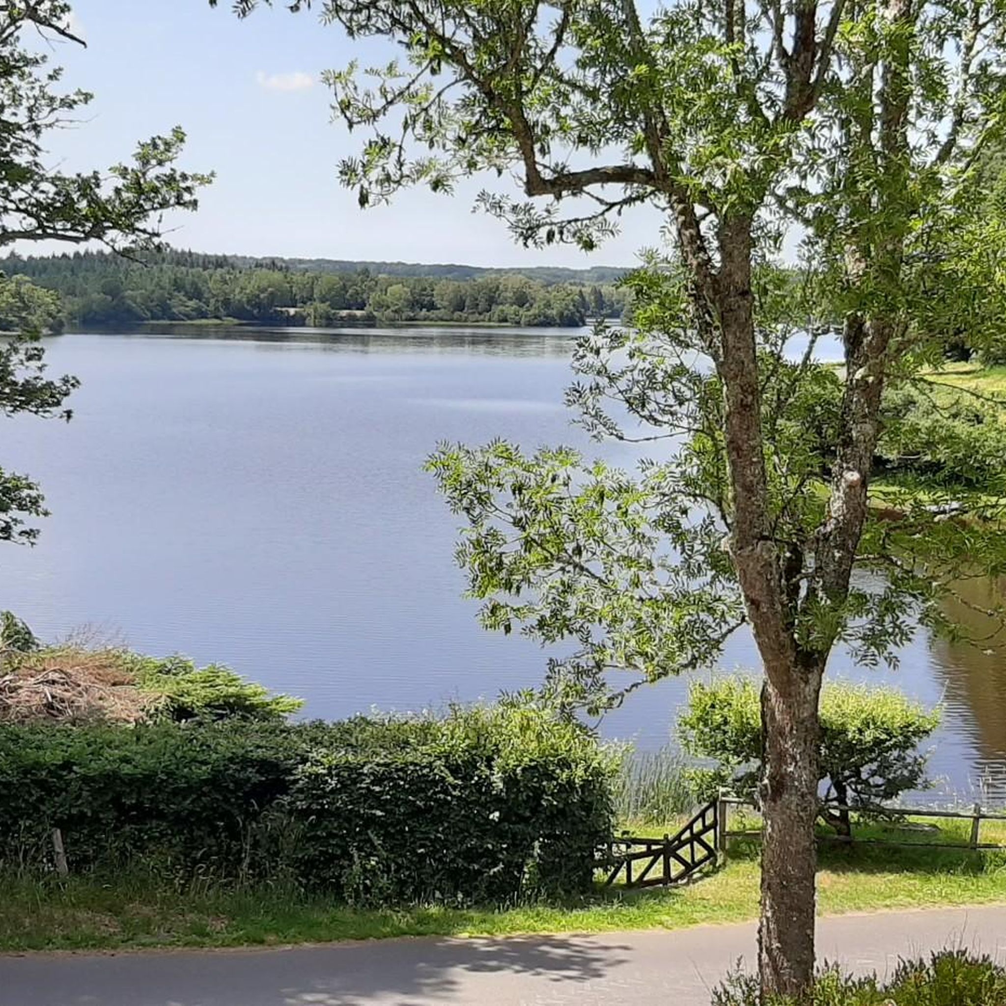
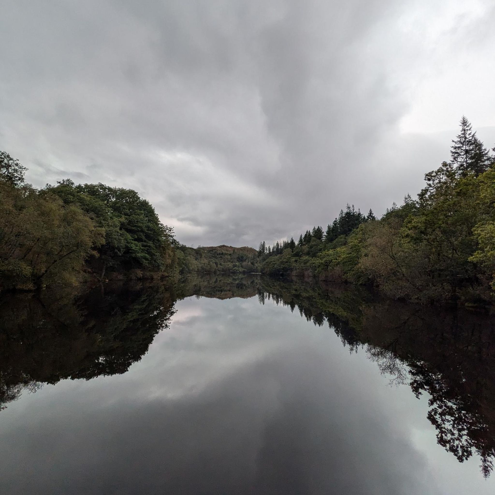

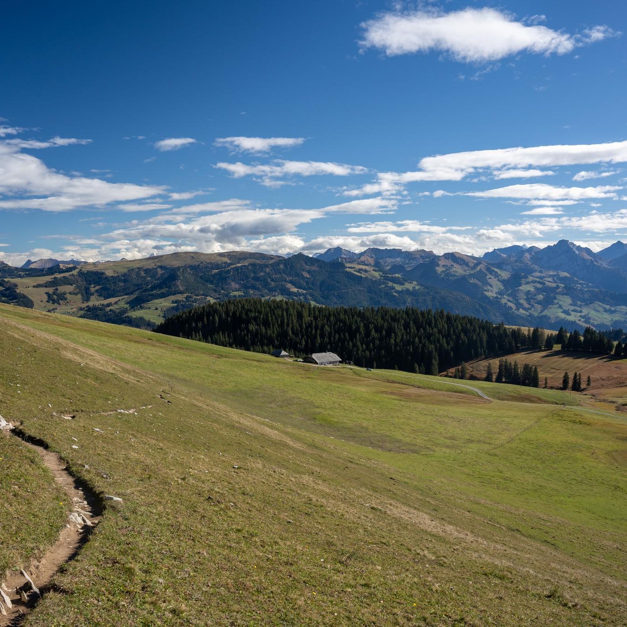
Tips from the Community

This town, whose history dates back to the 5th century, is full of legends and anecdotes. Thus, during the Hundred Years' War, the inhabitants decided not to fight the English but to receive them equipped with tools topped with goat's horns. The beautiful Chevanne house houses the aviation museum dedicated to Creuse aviators.
0
0

Very nice site. I discovered it by chance on a bike ride from St Eloy les mines, solo. Repeated by bike in the other direction then by car with a walk. Very nice area.
1
0

The ford on this stream can be bypassed via the bridge located just next to it.
1
0

A magnificent castle lost in the heart of the forest
0
0

Former 15th century castle with its farmhouse. Very nice set.
1
0
Very beautiful place which clearly highlights the source of the Cher. River which then flows into Tours
1
0
Frequently Asked Questions
How many road cycling routes are available in Saint-Avit?
There are 37 road cycling routes around Saint-Avit, offering a variety of options for different skill levels and preferences.
Are there easy road cycling routes for beginners in Saint-Avit?
Yes, Saint-Avit offers 6 easy road cycling routes suitable for beginners. These routes typically feature less challenging terrain. For a moderate option, consider the View of Crocq and Its Castle – Tyx Pond loop from La Croix, which is 23.5 miles (37.8 km) long.
What kind of terrain can I expect on road cycling routes around Saint-Avit?
Road cycling routes around Saint-Avit are characterized by rolling hills and rural countryside. You can expect varied terrain, including both ascents and descents, providing a diverse and engaging experience for cyclists.
Are there challenging road cycling routes for experienced cyclists?
Yes, for experienced cyclists seeking a challenge, there are 9 difficult routes available. A notable difficult route is the Château de Miremont – Ford on the Chevalet loop from Montel-de-Gelat, spanning 42.6 miles (68.5 km) with significant elevation changes.
Can I find circular road cycling routes in Saint-Avit?
Many of the road cycling routes in Saint-Avit are circular, allowing you to start and end at the same point. An example is the Tyx Pond – View of Crocq and Its Castle loop from Giat, a 45.8 miles (73.7 km) trail.
What are some scenic viewpoints or attractions along the road cycling routes?
The routes often pass by natural features and points of interest. You might encounter the Chancelade Lake Dock or enjoy views towards Crocq and its castle. Some routes also feature ponds and river sources.
Are there any historical landmarks to see while road cycling?
Yes, the region's routes often pass through areas with historical landmarks. You could cycle past the Saint-Mamert Church or the Montel World War I Memorial 1914-1918, adding a cultural dimension to your ride.
What do other road cyclists say about the routes in Saint-Avit?
The road cycling routes in Saint-Avit are highly rated by the komoot community, with an average score of 4.5 stars from over 3 reviews. Cyclists often appreciate the varied terrain and the scenic, rural landscapes.
When is the best time of year for road cycling in Saint-Avit?
The best time for road cycling in Saint-Avit is typically during the spring and autumn months when the weather is milder and the natural scenery is at its most vibrant. Summer can also be pleasant, but it's advisable to check local weather forecasts for optimal conditions.
What are the typical distances of road cycling routes in Saint-Avit?
Route distances vary significantly, catering to different endurance levels. You can find routes ranging from shorter, easier rides to longer, more challenging excursions. For example, the Puy de Faux bridge – Source du Cher loop from Mérinchal is 28.7 miles (46.2 km).
How long do road cycling routes typically take to complete?
The duration of routes varies based on distance and difficulty. A moderate route like the Puy de Faux bridge – Source du Cher loop from Mérinchal (28.7 miles) typically takes around 2 hours and 6 minutes, while longer, more difficult routes can take over 3 hours.
Are there routes that pass by natural features like ponds or rivers?
Yes, many routes are designed to showcase the region's natural beauty. You can find trails that lead past features such as the Tyx Pond or the source of the Cher river, offering picturesque views during your ride.
Most popular attractions around Saint-Avit

Get inspired with the komoot mobile app


Explore more
Browse the best Road cycling routes in other regions.
