The best walks and hikes around Agincourt
4.6
(529)
4,470
hikers
420
hikes
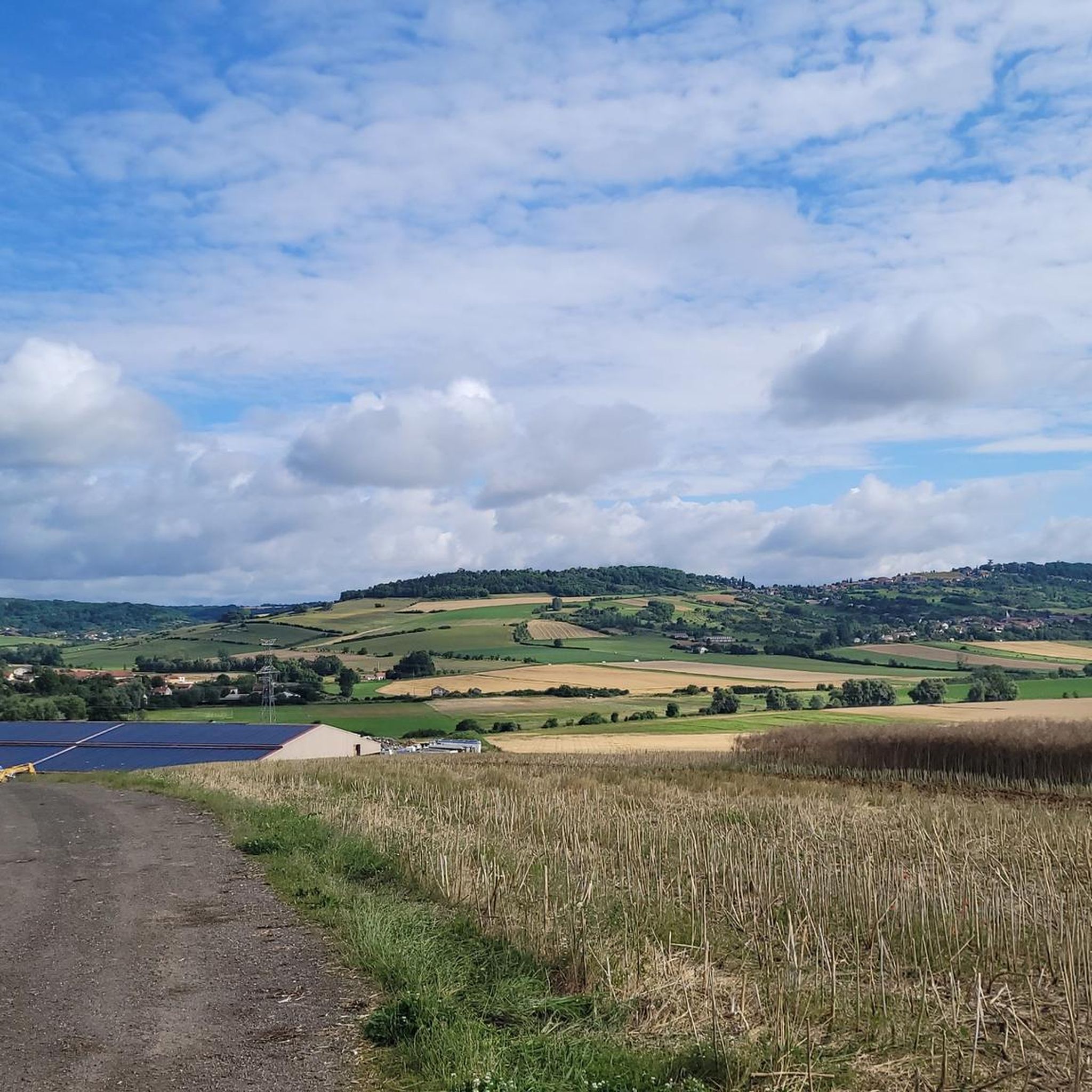
Hiking around Agincourt offers varied terrain, characterized by a mix of open landscapes, local hills, and historical areas. The region features routes that traverse gentle gradients and more significant elevation changes. These trails often lead through agricultural land and provide views of the surrounding countryside. The area's geology contributes to its diverse walking experiences.
Best hiking trails around Agincourt
- The most popular hiking route is Circuit L: Faulx Variant Loop, a 9.6 miles (15.4 km) trail that takes 4…
Last updated: October 9, 2026
4.1
(15)
61
hikers
15.4km
04:15
270m
270m
Moderate hike. Good fitness required. Easily-accessible paths. Suitable for all skill levels.
4.5
(14)
38
hikers
7.01km
02:00
160m
160m
Moderate hike. Good fitness required. Easily-accessible paths. Suitable for all skill levels.

4.4
(5)
24
hikers
10.6km
03:02
240m
240m
Moderate hike. Good fitness required. Easily-accessible paths. Suitable for all skill levels.
5.0
(2)
14
hikers
Easy hike. Great for any fitness level. Easily-accessible paths. Suitable for all skill levels.
4.3
(3)
9
hikers
18.9km
05:36
550m
550m
Hard hike. Very good fitness required. Easily-accessible paths. Suitable for all skill levels.
Get access to more routes and recommendations from other explorers.
Already have an account?
Our route recommendations are based on thousands of hikes, rides, and runs completed by other people on komoot.
Start today with a free account
Your next adventure awaits.

Tips from the Community

Log cabin next to the officers' memorial grave
0
0

Located in the middle of the forest, the Crâny tower is a very mysterious tower about which we know practically nothing: its origin, its purpose...
0
0
A very beautiful view of Sugarloaf Mountain, Agincourt, and Amance. Be careful, the descent to Eulmont is dangerous! In any case, it's best to continue to Lay Saint Christophe.
1
0

Malzéville plateau relay antenna
0
0

According to the inhabitants of Eulemont, this tower was built in the 16th century to house plague victims from the region. However, there are doubts about this statement because this tower is not listed on the 1833 cadastral map. It therefore seems to have been built after 1833, although it is also called the "tour des Pestiférés".
2
0
Very beautiful village with a huge tree in front of the church and a great view over the countryside.
1
0

The Plateau de Malzéville, located at the gates of Nancy, offers an exceptional panoramic view of the Meurthe valley and the city below. This natural site, surrounded by meadows and forests, is a popular place for walks, with paths winding through green landscapes. At the top of the plateau, the calm and serenity allow you to fully enjoy nature while admiring the unobstructed view.
1
1

cross of the soldiers of the 1st war struck by lightning
4
0
Frequently Asked Questions
How many hiking trails are available around Agincourt?
There are over 380 hiking routes available around Agincourt, catering to various preferences and skill levels. You'll find a good mix, with approximately 200 easy routes, 170 moderate routes, and a few more challenging options.
What is the typical terrain like for hiking around Agincourt?
Hiking around Agincourt offers varied terrain, characterized by a mix of open landscapes, local hills, and historical areas. Routes often traverse gentle gradients, agricultural land, and provide views of the surrounding countryside. The area's geology contributes to diverse walking experiences, including the notable 'muddy hill' and heavy soil of the historic battlefield.
Are there any historical sites or landmarks to see while hiking in Agincourt?
Yes, the Agincourt area is rich in history. Many trails, such as the French army remains – Plateau de Malzéville loop from Dommartemont, lead through historical points of interest. Beyond the immediate trails, you can explore significant landmarks like Stanislas Square or Place de la Carrière, which are nearby attractions.
What do other hikers enjoy most about the trails in Agincourt?
The trails in Agincourt are highly rated by the komoot community, with an average score of 4.5 stars from over 480 reviews. Hikers frequently praise the varied terrain, the historical landscapes, and the open plateaus that define the region's walking experiences.
Are there any circular hiking routes in Agincourt?
Yes, many of the routes around Agincourt are designed as loops, allowing you to start and end in the same location. A popular example is the Circuit L: Faulx Variant Loop, which offers a moderate 9.6-mile experience.
Are the hiking trails in Agincourt suitable for families?
Yes, Agincourt offers many trails suitable for families. With over 200 easy routes, there are plenty of options with gentle gradients and shorter distances, such as the Crany Tower – Notre dame d'Eulmont loop from Eulmont, which is an easy 4.3-mile path.
Can I bring my dog on the hiking trails in Agincourt?
Generally, many outdoor areas and trails in the region are dog-friendly, especially those that traverse open landscapes and agricultural paths. However, it's always recommended to check local signage for specific restrictions, especially in nature reserves or protected historical sites, and to keep dogs on a leash.
What is the best time of year to go hiking in Agincourt?
The best time to hike in Agincourt largely depends on your preference. Spring and autumn offer pleasant temperatures and beautiful scenery, with autumn providing vibrant colors. Summer is also suitable, though some open sections might be warm. Winter hiking is possible, but be prepared for potentially muddy conditions, especially on the historic battlefield's heavy soil.
Are there any trails with significant elevation gain for a more challenging hike?
While many trails feature gentle gradients, there are options for more challenging ascents. For instance, the Malzéville Airfield – Plateau de Malzéville loop from Dommartemont is a difficult 12-mile route with over 540 meters of elevation gain, offering a more strenuous experience.
Are there any less crowded trails for a quieter hiking experience?
To find quieter trails, consider exploring some of the less-trafficked routes during off-peak hours or on weekdays. While specific 'less crowded' trails aren't explicitly designated, the vast network of over 380 routes means you can often find peaceful sections away from the most popular loops.
What kind of natural features can I expect to see on the hikes?
The hikes around Agincourt showcase a variety of natural features, including open landscapes, local hills, and agricultural areas. You might encounter river confluences like that of the Moselle and Meurthe rivers, and sections of canals such as the Marne–Rhine Canal, adding diverse scenery to your walk.
Most popular routes around Agincourt
Most popular attractions around Agincourt

Get inspired with the komoot mobile app


Explore more
Browse the best Hikes in other regions.
