The best walks and hikes around Longlaville
4.4
(2479)
12,877
hikers
689
hikes
Hiking around Longlaville, situated in the Meurthe-et-Moselle department of France, offers access to diverse landscapes within the Grand Est region and bordering countries. The area features forested, hilly terrain, often showcasing its industrial past and mining heritage. Longlaville's strategic location provides proximity to the Lorraine Regional Natural Park, an expansive area characterized by agricultural plateaus, forest valleys, waterways, and wetlands. This region provides varied terrain for outdoor activities, including cross-border routes into Luxembourg and Belgium.
Best hiking trails around Longlaville
…Last updated: July 15, 2026
4.6
(34)
123
hikers
Hard hike. Very good fitness required. Easily-accessible paths. Suitable for all skill levels.
5.0
(3)
29
hikers
Easy hike. Great for any fitness level. Easily-accessible paths. Suitable for all skill levels.

Sign up for free
4.3
(7)
16
hikers
Moderate hike. Good fitness required. Easily-accessible paths. Suitable for all skill levels.
5.0
(1)
13
hikers
6.50km
01:44
70m
70m
Easy hike. Great for any fitness level. Easily-accessible paths. Suitable for all skill levels.
9
hikers
5.38km
01:26
50m
50m
Easy hike. Great for any fitness level. Easily-accessible paths. Suitable for all skill levels.
Get access to more routes and recommendations from other explorers.
Sign up for free
Already have an account?
Our route recommendations are based on thousands of hikes, rides, and runs completed by other people on komoot.
Start today with a free account
Your next adventure awaits.
Login or Signup
Tips from the Community

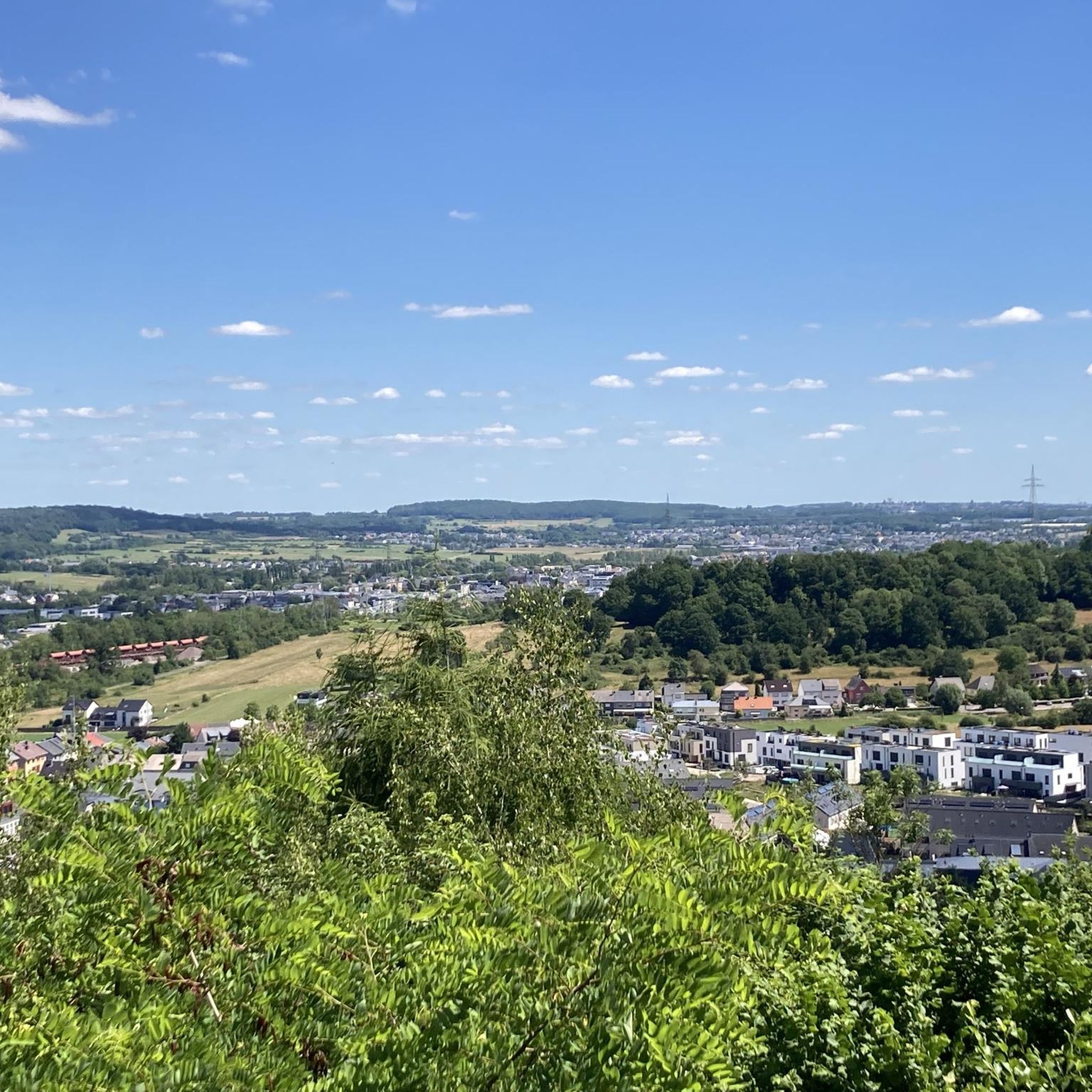
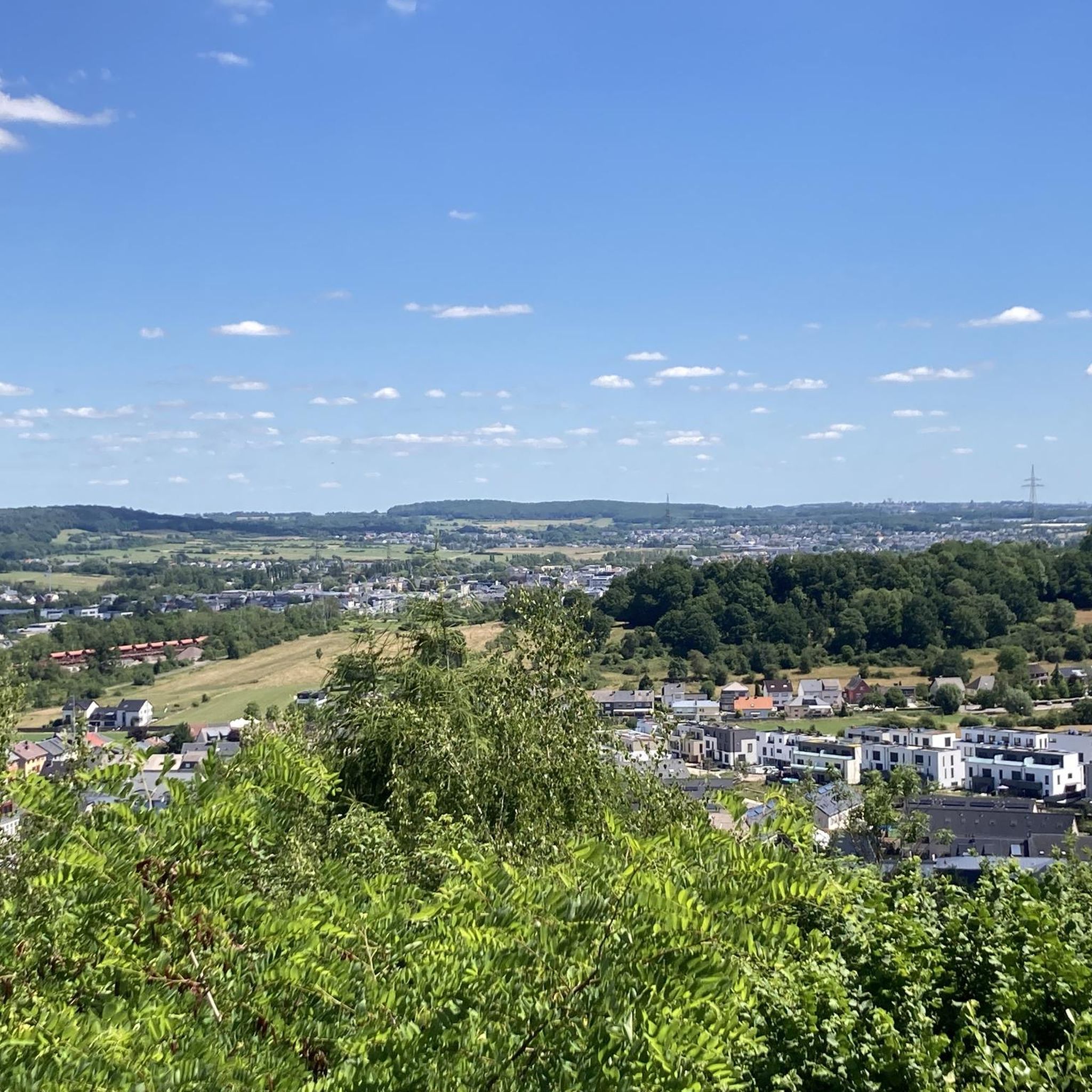
Old disused bridge overlooking the greenway Saulnes Hussigny
0
1

The most beautiful part of the walk. No difficulties despite the route being marked in red on the map.
0
0


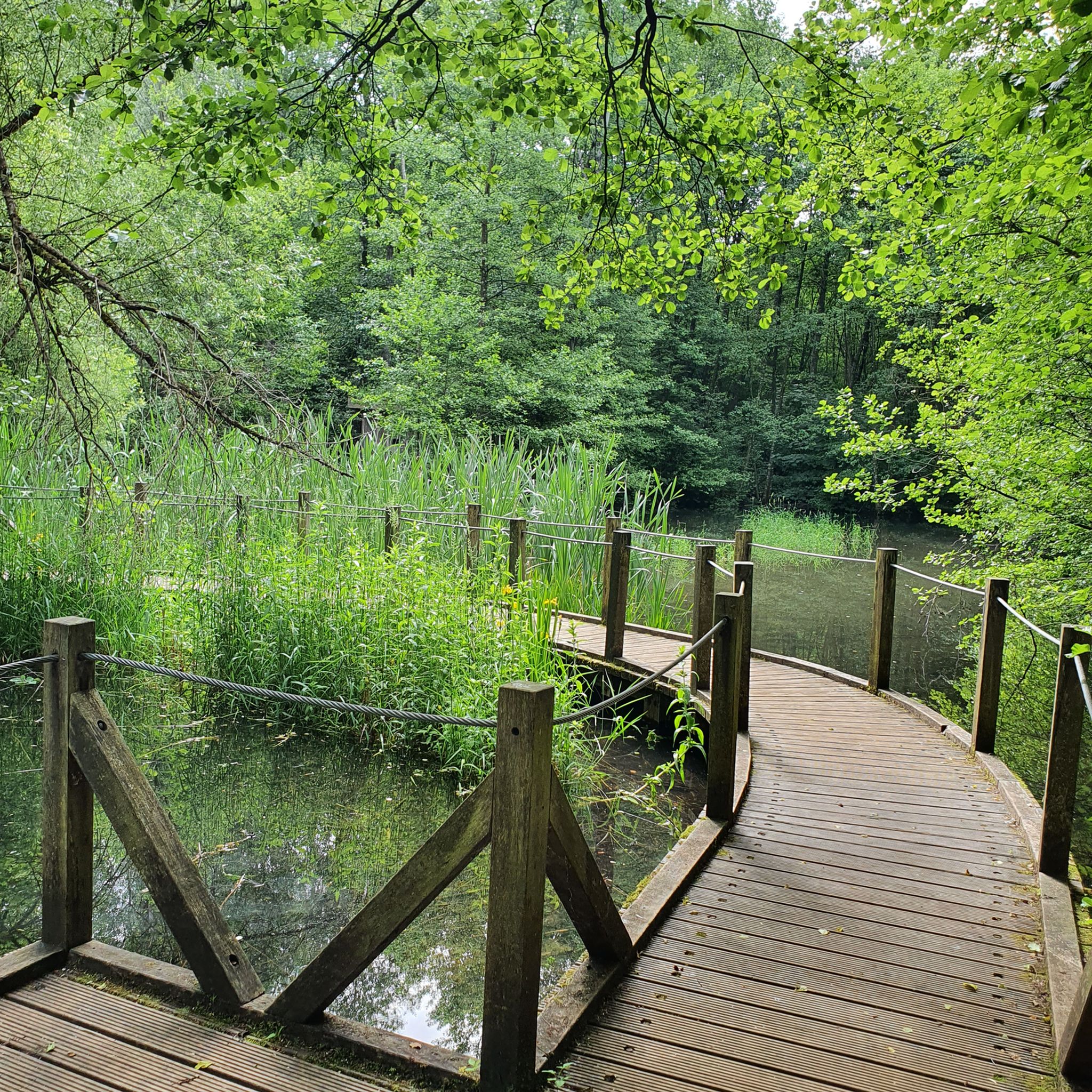
Beautiful pond with wooden walkways.
2
0
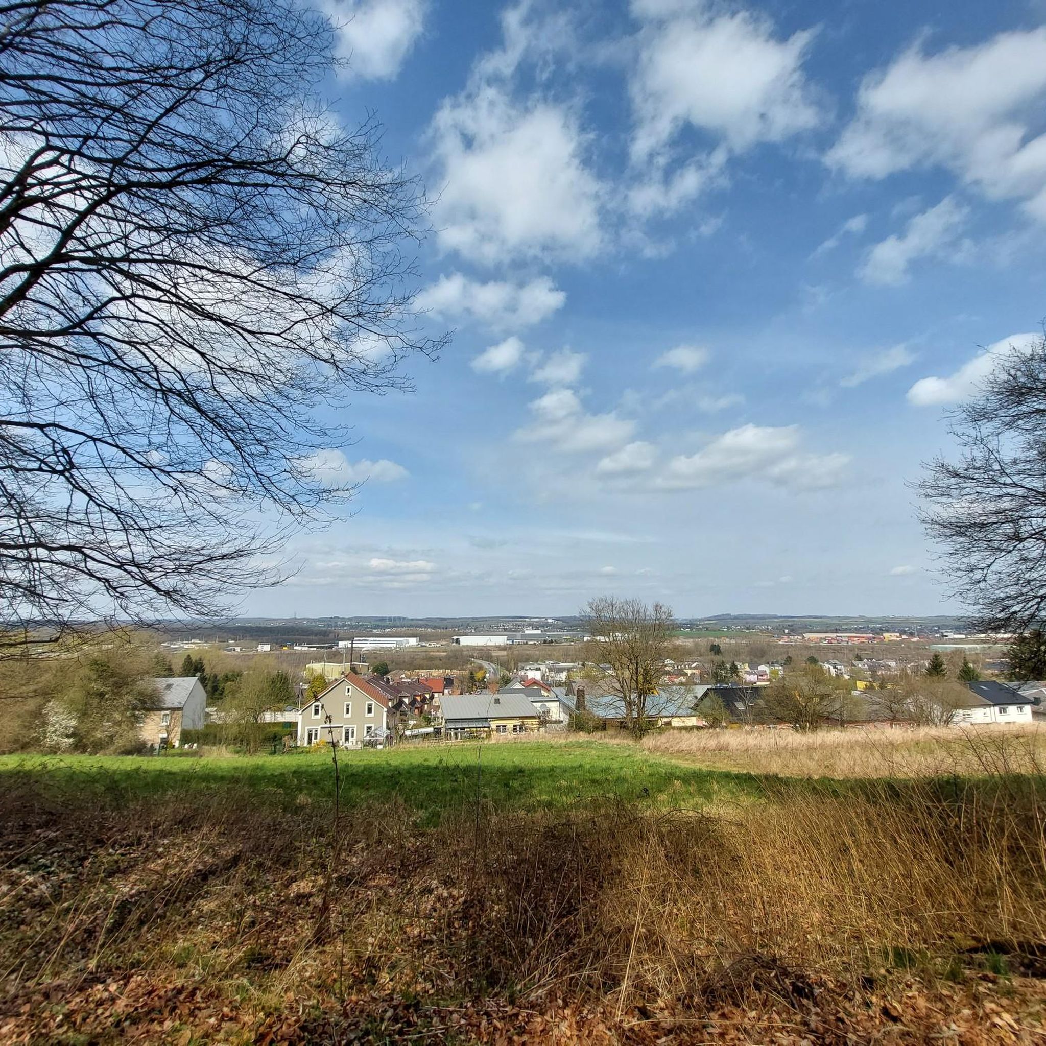
Nice park to start a walk in peace
1
0
Frequently Asked Questions
How many hiking trails are available around Longlaville?
There are over 700 hiking routes around Longlaville, offering a wide range of options for all skill levels. This includes approximately 379 easy routes, 286 moderate routes, and 35 more challenging trails.
What kind of terrain can I expect on hikes near Longlaville?
Hiking around Longlaville is characterized by forested, hilly terrain, often featuring remnants of the region's industrial past and mining heritage. You'll find diverse landscapes, from forest valleys to agricultural plateaus, especially within the nearby Lorraine Regional Natural Park.
Are there any family-friendly hiking options in the Longlaville area?
Yes, there are many family-friendly options. For an accessible and shorter walk, consider the Kabaischen: La Sauvage loop from Saulnes, which is an easy 5.1 km path through natural surroundings. The area offers numerous easy trails suitable for families.
Can I bring my dog on the hiking trails around Longlaville?
Most hiking trails in the Longlaville area, particularly those in natural and forested areas, are dog-friendly. It's always recommended to keep your dog on a leash, especially in nature reserves or areas with wildlife, and to check local signage for any specific restrictions.
Are there any circular walks available near Longlaville?
Yes, many routes around Longlaville are designed as circular walks. An example is the Entrance to the Old Iron Mine – Shelter on the Crosnière Trail loop from Saulnes, a moderate 14.2 km trail that explores forested hills and historical mining features.
What historical or natural landmarks can I see while hiking near Longlaville?
The region is rich in both natural beauty and industrial heritage. You can explore sites like the Giele Botter Nature Reserve, which is part of a longer route, or discover the Halanzy Iron Mine Ruins. The area also features natural highlights such as the Moulaine Valley Stream and the Source of the Kor.
Are there any long-distance or challenging hikes in the Longlaville region?
For experienced hikers seeking a challenge, the Fond-de-Gras Railway Museum – Giele Botter Nature Reserve loop from Saulnes is a difficult 24.0 km trail that takes approximately 6 hours 37 minutes to complete. This route explores a nature reserve and areas with significant railway history.
What is the best time of year to go hiking around Longlaville?
The Longlaville area, with its forested hills and natural parks, is enjoyable for hiking throughout much of the year. Spring and autumn offer pleasant temperatures and beautiful scenery with blooming flora or vibrant fall colors. Summer is also suitable, though some trails might be more exposed. Winter hikes are possible, especially on lower elevation trails, but require appropriate gear.
What do other hikers say about the trails in Longlaville?
The hiking routes in Longlaville are highly rated by the komoot community, with an average score of 4.4 stars from over 2,100 reviews. Hikers often praise the diverse landscapes, the well-maintained paths, and the interesting blend of natural beauty and historical industrial sites.
Is there public transport available to reach hiking trailheads near Longlaville?
While Longlaville itself is a municipality, access to specific trailheads often benefits from personal transport. However, the region's proximity to Luxembourg and Belgium means some cross-border routes might be accessible via regional public transport networks. It's advisable to check local bus or train schedules for specific starting points.
Are there any trails that cross into neighboring countries from Longlaville?
Yes, Longlaville's strategic location near the borders of Luxembourg and Belgium means you can find cross-border trails. These routes offer unique experiences, revealing linguistic and cultural transitions as you hike between countries, often exploring shared natural and historical landscapes.
Are there any specific natural parks or reserves accessible from Longlaville?
Longlaville is conveniently located near the expansive Lorraine Regional Natural Park. This park covers a vast area with diverse landscapes, including agricultural plateaus, forest valleys, waterways, and wetlands, making it an ideal setting for exploring on foot. You can find more information about the park on tourisme-bassindepontamousson.fr.
Most popular routes around Longlaville
Most popular attractions around Longlaville

Get inspired with the komoot mobile app


Explore more
Browse the best Hikes in other regions.
