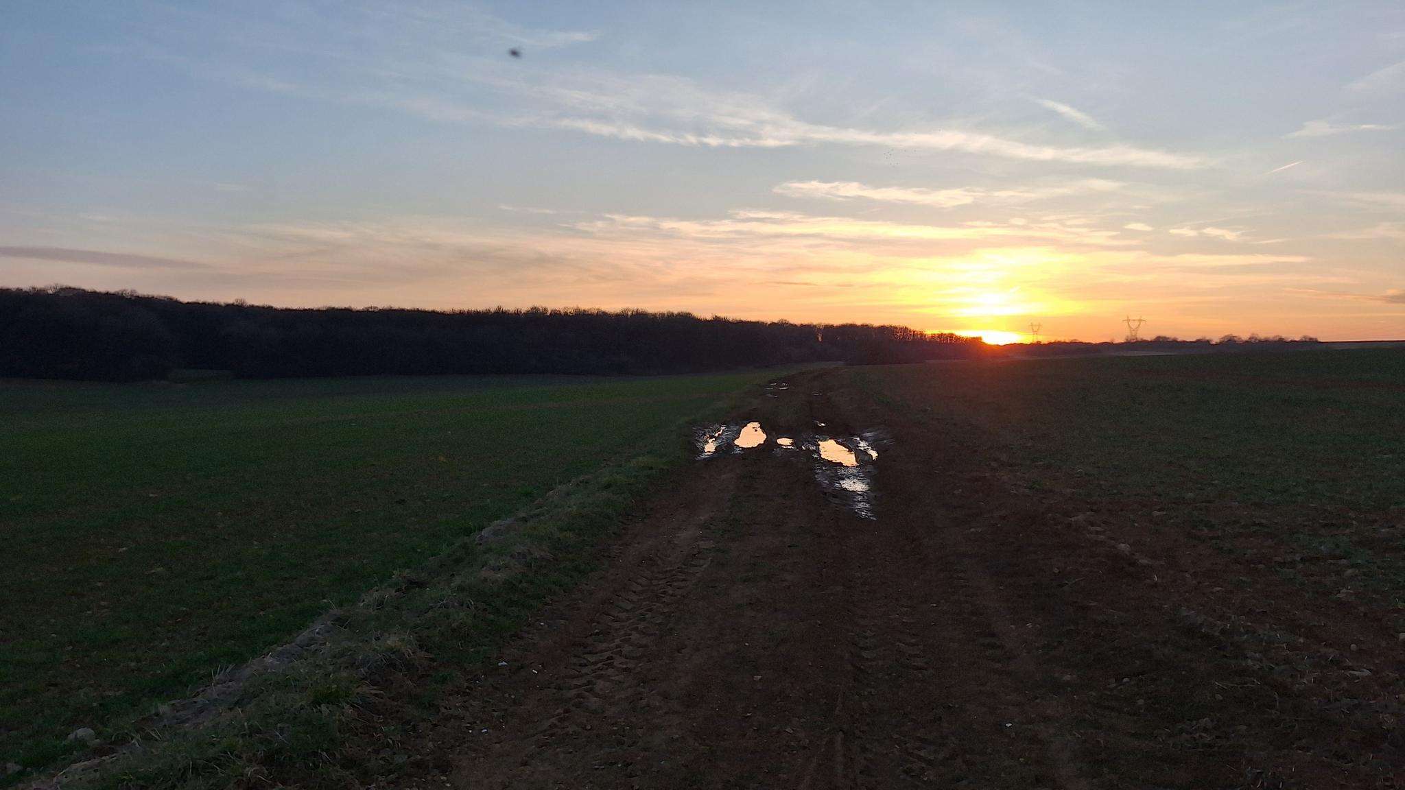
The best running trails around Mont-Bonvillers
4.6
(12)
1,341
runners
73
runs
Jogging around Mont-Bonvillers, located in the Meurthe-et-Moselle department of France, offers access to tranquil natural features and varied terrain. The region is characterized by serene lakes such as Plan d'Eau de la Sangsue and Briey lake, surrounded by forests and meadows. Greenways and forest paths provide unpaved surfaces suitable for running, connecting natural areas. This landscape composition supports a range of running experiences, from leisurely jogs to more challenging routes.
Best jogging routes around Mont-Bonvillers
- The most popular jogging route…
Last updated: May 20, 2026
6
runners
9.29km
00:58
70m
70m
Moderate run. Good fitness required. Mostly paved surfaces. Suitable for all skill levels.
10
runners
9.51km
01:00
70m
70m
Moderate run. Good fitness required. Mostly paved surfaces. Suitable for all skill levels.

Sign up for free
8
runners
11.7km
01:16
80m
80m
Moderate run. Good fitness required. Mostly paved surfaces. Suitable for all skill levels.
5
runners
4.13km
00:27
30m
30m
Easy run. Great for any fitness level. Mostly paved surfaces. Suitable for all skill levels.
4.0
(1)
5
runners
18.0km
02:04
270m
270m
Hard run. Very good fitness required. Mostly paved surfaces. Suitable for all skill levels.
Get access to more routes and recommendations from other explorers.
Sign up for free
Already have an account?
Our route recommendations are based on thousands of hikes, rides, and runs completed by other people on komoot.
Start today with a free account
Your next adventure awaits.
Login or Signup
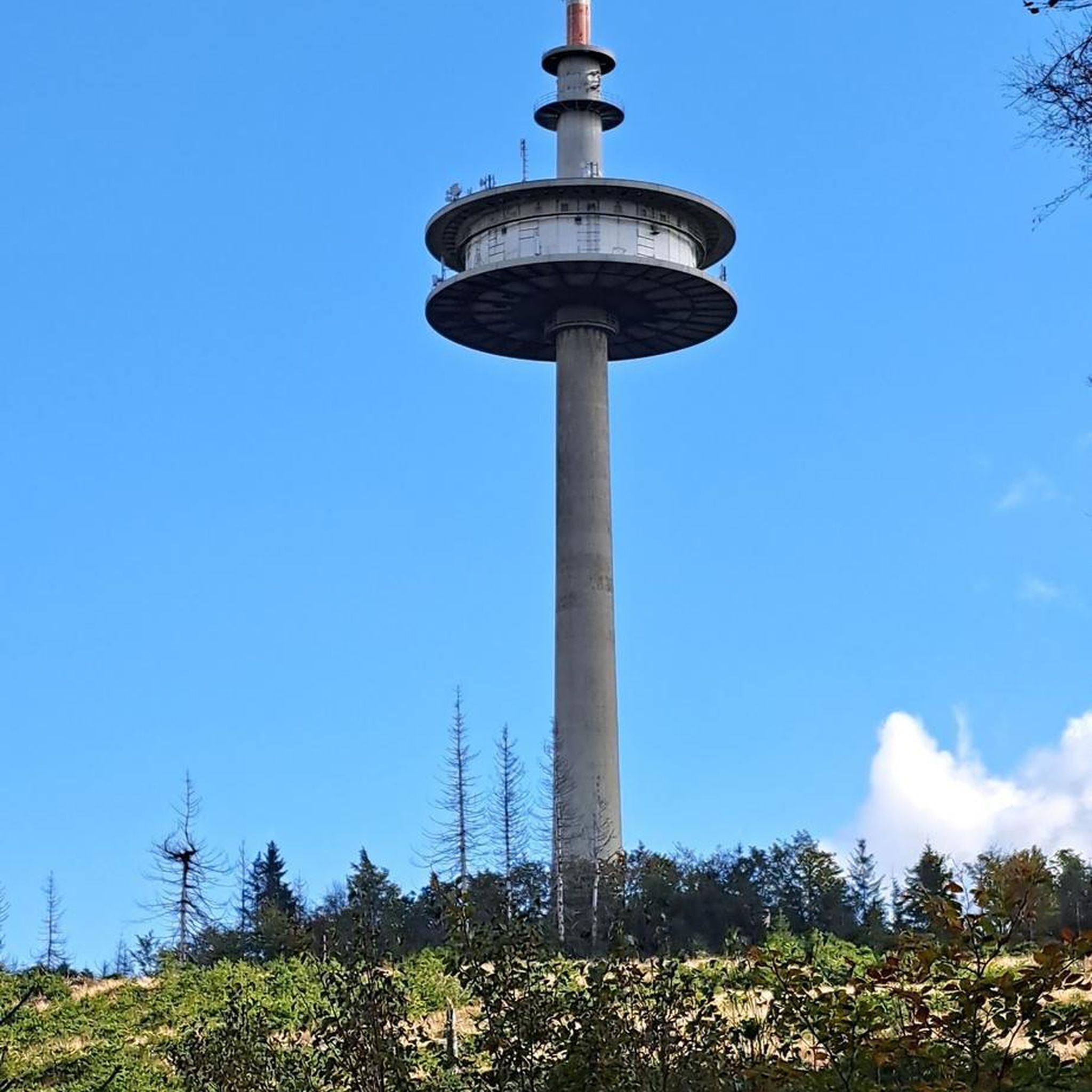
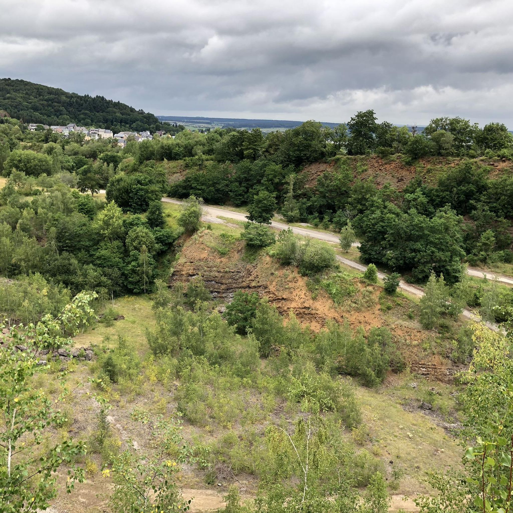
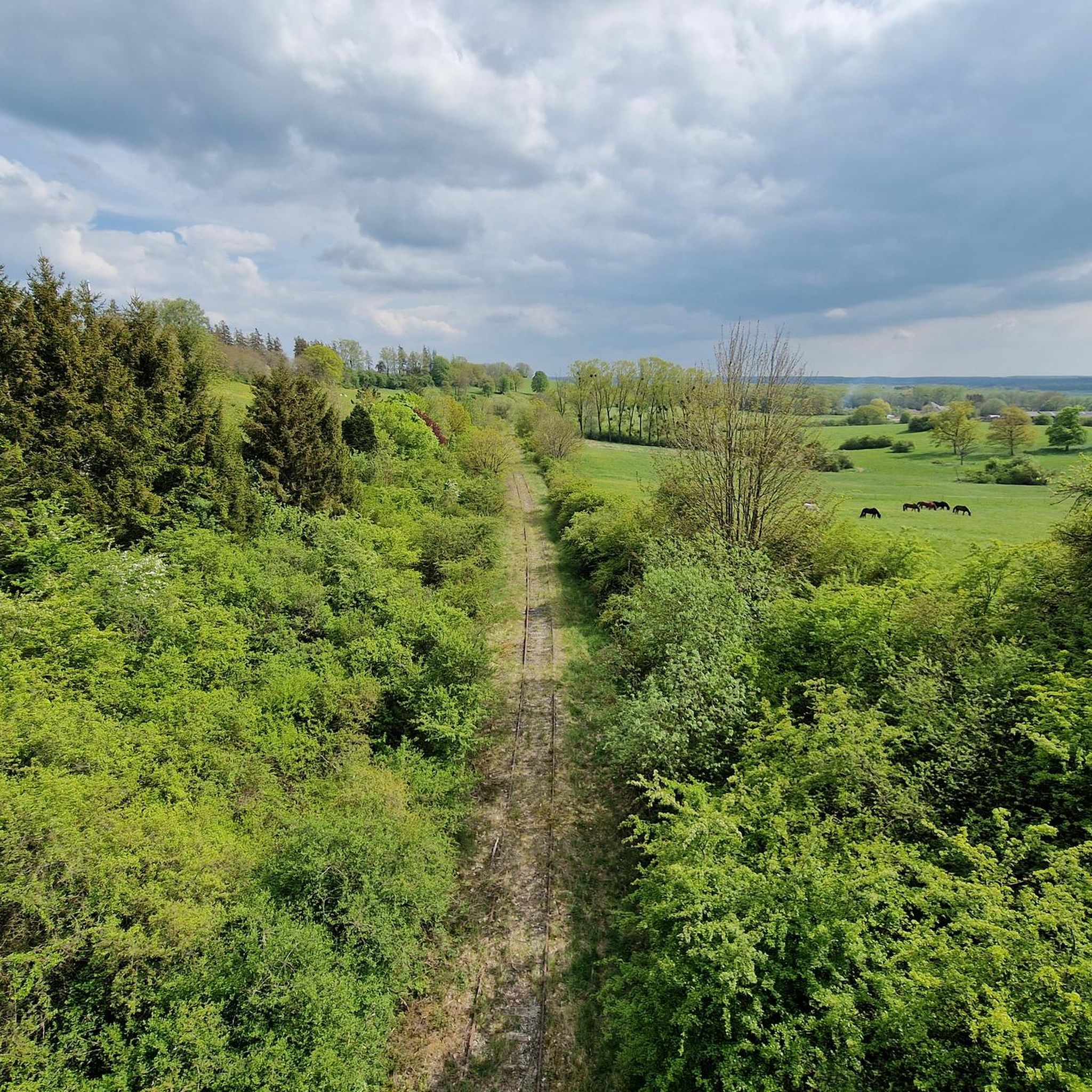
Tips from the Community

Frequently Asked Questions
How many running routes can I explore around Mont-Bonvillers?
There are over 75 running routes available around Mont-Bonvillers, catering to various fitness levels and preferences. You'll find a diverse network of trails to choose from.
Are there easy running routes suitable for beginners in Mont-Bonvillers?
Yes, Mont-Bonvillers offers several easy running routes perfect for beginners or those looking for a relaxed jog. For example, the Running loop from Piennes is an easy 4.1 km (2.5 miles) path that can be completed in about 30 minutes.
What kind of terrain can I expect on the jogging trails in this region?
The jogging trails around Mont-Bonvillers feature varied terrain, including paths around serene lakes like Plan d'Eau de la Sangsue and Briey lake, as well as greenways and forest paths. This provides a mix of unpaved surfaces and natural settings, ideal for outdoor exercise.
Are there any family-friendly running options in Mont-Bonvillers?
While specific family-designated running routes aren't highlighted, the area around Briey lake offers a 2.5-kilometer tour that's suitable for a run or walk, and it includes a children's play park nearby. This makes it a good option for families combining a run with an outing.
What do other runners enjoy most about the trails in Mont-Bonvillers?
The running routes in Mont-Bonvillers are highly rated by the komoot community, with an average score of 4.7 stars from over 10 reviews. Runners often praise the peaceful natural settings, especially around the lakes and through the surrounding forests and meadows.
Can I find circular running routes in the Mont-Bonvillers area?
Absolutely. Many of the running routes in Mont-Bonvillers are circular, allowing you to start and finish at the same point. A popular example is the Étang de Tresbois loop from Piennes, a moderate 5.8 km (3.6 miles) trail.
Are there any longer or more challenging running routes for experienced runners?
Yes, for those seeking a greater challenge, there are more difficult routes available. The Huombois – Bois Thiébaut loop from Landres is a challenging 16.6 km (10.3 miles) route with over 100 meters of elevation gain, offering a more strenuous experience.
What natural attractions or landmarks can I see while running in Mont-Bonvillers?
While running, you can encounter several interesting spots. The serene Plan d'Eau de la Sangsue is a peaceful lake with wild shoreline vegetation. Other nearby points of interest include the Eiffel Viaduct of Serrouville and the Church of Mance.
Is it possible to spot wildlife on the running trails?
Yes, the natural landscapes around Mont-Bonvillers, particularly near the Plan d'Eau de la Sangsue and within the surrounding forests and meadows, are havens for local wildlife. Keep an eye out for various species as you jog through these tranquil areas.
Are there any running routes that offer varied scenery?
Many routes offer varied scenery, combining natural features with glimpses of the local landscape. The Running loop from Tucquegnieux is a moderate 8.4 km (5.2 miles) path that provides diverse terrain and views through the region.
What is the best time of year to go jogging in Mont-Bonvillers?
The region's natural charm and peaceful spots make it pleasant for outdoor exercise throughout much of the year. Spring and autumn offer mild temperatures and beautiful scenery, while summer provides longer daylight hours. Even in winter, the greenways and forest paths can be enjoyed, though conditions may vary.
Where can I find information about the wider Meurthe-et-Moselle department for other activities?
For broader information on leisure activities and tourism in the Meurthe-et-Moselle department, you can visit the official tourism website: tourisme-meurtheetmoselle.fr.
Most popular routes around Mont-Bonvillers
Most popular attractions around Mont-Bonvillers

Get inspired with the komoot mobile app


Explore more
Browse the best Running Trails & Routes in other regions.
