The best cycling routes around Orelle
4.3
(152)
11,081
riders
121
rides
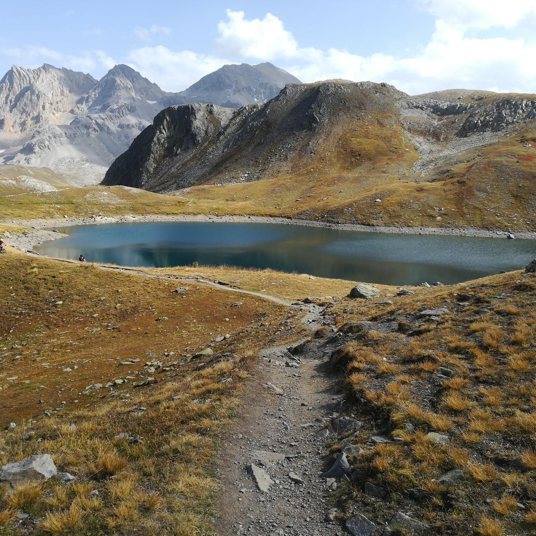
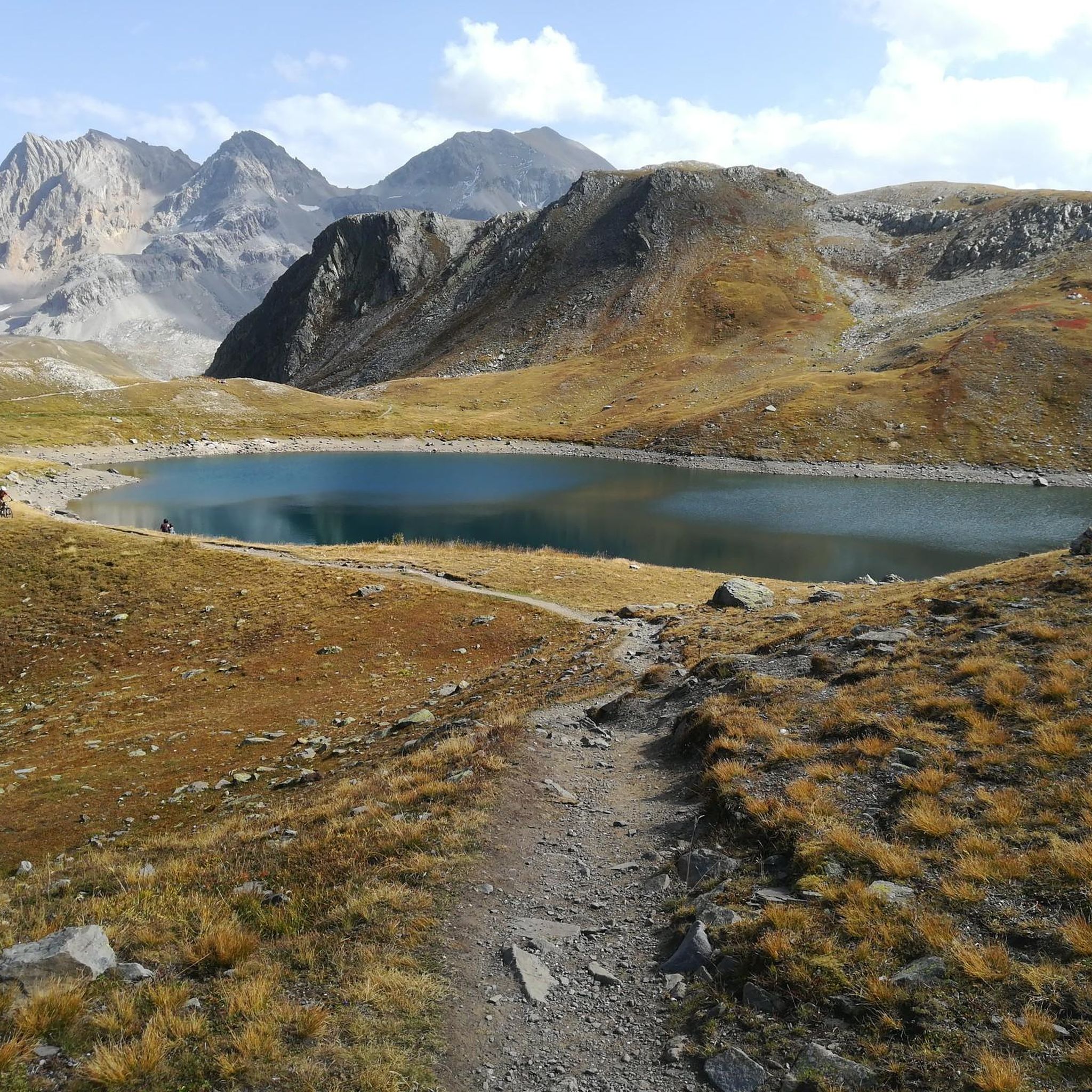
Touring cycling routes around Orelle traverse a rugged, mineral landscape characterized by steep slopes, glacial valleys, and high-altitude terrain within the Maurienne Valley. The region, bordering the Vanoise National Park, features elevations ranging from 819 meters to 3,400 meters. This environment offers challenging mountain passes and diverse natural features, making it a prominent destination for alpine cycling. The area's dramatic scenery includes prominent landmarks like the Cime Caron and the Pointe du Bouchet.
Best touring cycling routes around Orelle
- The most popular touring cycling route is Col du Télégraphe, Col du Galibier et Col du Lautaret – Parc national des Écrins, a 53.7 miles (86.5 km) trail that takes 7 hours 13 minutes to complete. This difficult route ascends three iconic mountain passes in the French Alps.
- Another top favourite among local touring cyclists is Church of La Chambre – Télégraphe Pass loop from Orelle, a difficult 63.1 miles (101.5 km) path. This route offers extensive climbs and descents through the high-alpine landscape surrounding Orelle.
- Local touring cyclists also love the Monolith Road – Marie-Thérèse Redoubt loop from Saint-André, a 53.4 miles (85.9 km) trail leading through mountainous terrain and historical sites, often completed in about 6 hours 18 minutes.
- Touring cycling around Orelle is defined by challenging mountain passes, high-altitude terrain, and glacial valleys. The network offers options for various ability levels, from demanding climbs to more moderate valley routes.
- The routes in Orelle are highly rated by the komoot community with an average score of 4.2 stars from more than 180 reviews. More than 13,000 touring cyclists have used komoot to explore Orelle's varied terrain.
Last updated: July 28, 2026
4.7
(30)
1,832
riders
86.5km
07:13
2,850m
2,850m
Hard bike ride. Very good fitness required. Mostly paved surfaces. Suitable for all skill levels.
4.5
(2)
355
riders
87.3km
06:59
2,550m
2,550m
Hard bike ride. Very good fitness required. Mostly paved surfaces. Suitable for all skill levels.

Sign up for free
5.0
(7)
225
riders
100km
07:14
2,070m
2,070m
Hard bike ride. Very good fitness required. Mostly paved surfaces. Suitable for all skill levels.
4.3
(3)
58
riders
121km
09:23
2,950m
2,950m
Hard bike ride. Very good fitness required. Mostly paved surfaces. Suitable for all skill levels.
5.0
(1)
28
riders
26.6km
03:09
1,340m
1,340m
Hard bike ride. Very good fitness required. Mostly paved surfaces. Suitable for all skill levels.
Get access to more routes and recommendations from other explorers.
Sign up for free
Already have an account?
Our route recommendations are based on thousands of hikes, rides, and runs completed by other people on komoot.
Start today with a free account
Your next adventure awaits.
Login or Signup

Tips from the Community

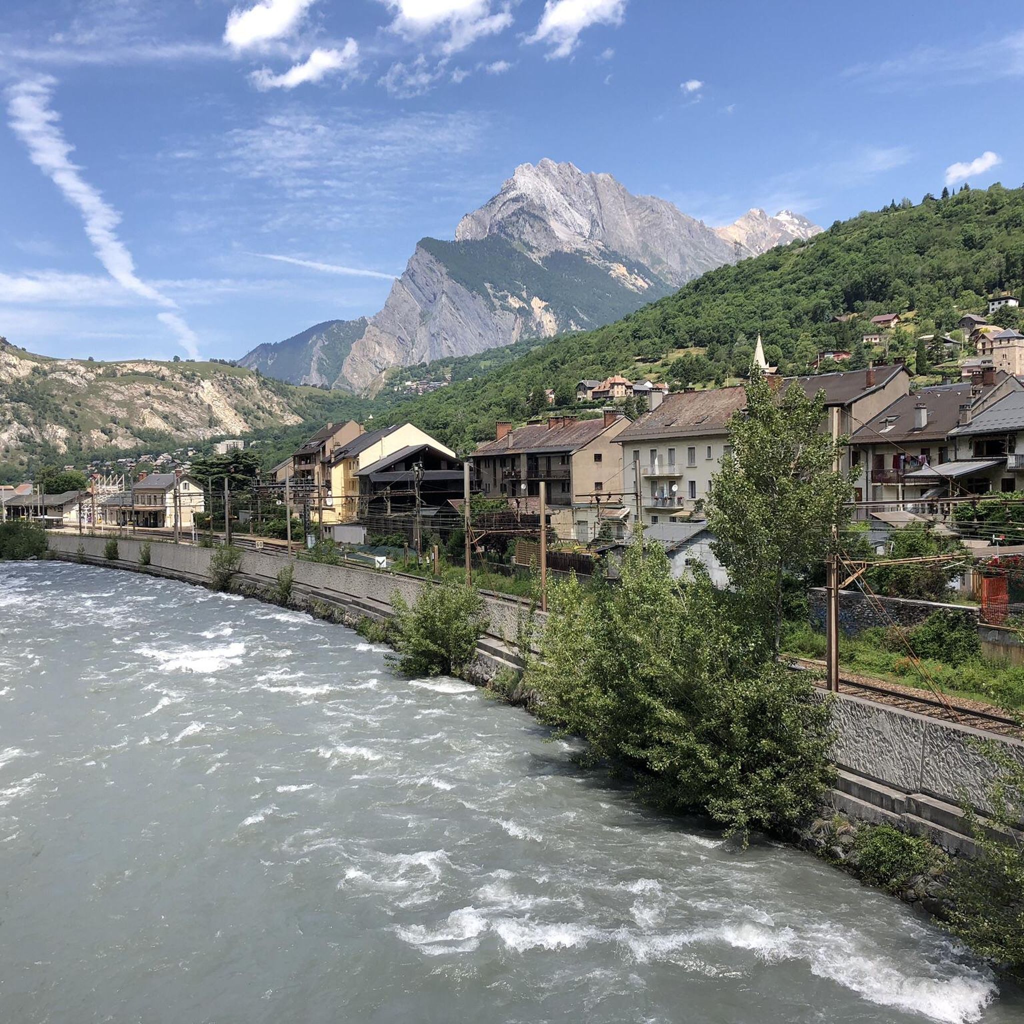
Transit town in the valley, various options for mountains.
2
0
Beautiful view of the river and the rocks. The translation is naturally peculiar, the river Arc is translated as bow 🤔😜👍
3
0
Interesting old fortress, today a museum.
2
0
View of the Victor Emmanuel Fortress.
2
0
At this point, there are even two churches, one on each side of the street.
2
0

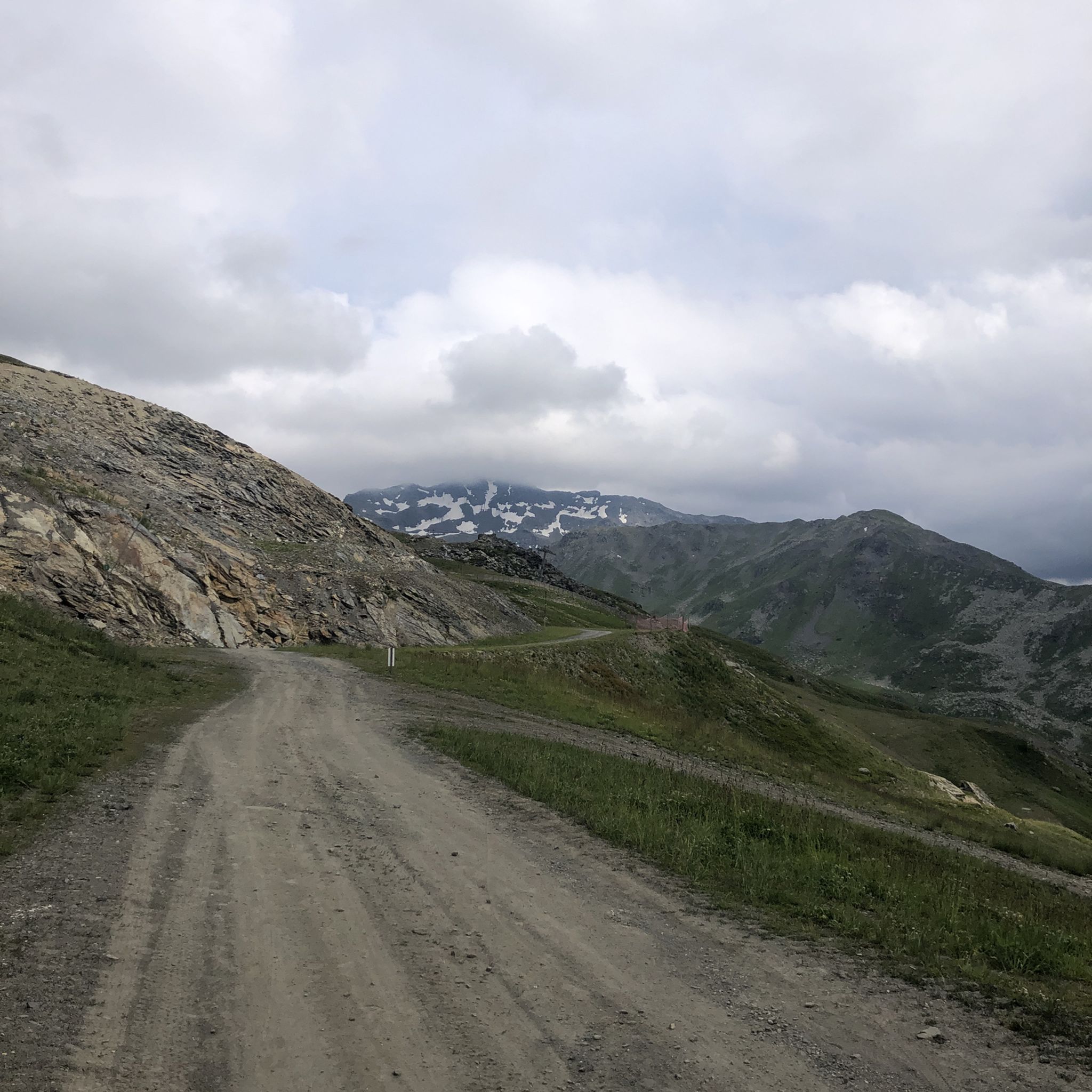
Even more beautiful downhill
3
0


The Galibier offers breathtaking views.
14
1
Frequently Asked Questions
How many touring cycling routes are available around Orelle?
Orelle offers a wide selection of touring cycling routes, with over 120 options to explore. These routes traverse a rugged, mineral landscape, featuring steep slopes, glacial valleys, and high-altitude terrain within the Maurienne Valley.
What is the general terrain and difficulty level for touring cycling in Orelle?
The terrain around Orelle is predominantly mountainous, characterized by challenging ascents and descents. While there are 8 easy and 29 moderate routes, the majority (91) are classified as difficult, often involving iconic mountain passes and significant elevation changes. The region's elevation ranges from 819 meters to 3,400 meters, offering a truly alpine cycling experience.
Are there any family-friendly touring cycling routes near Orelle?
While Orelle is known for its challenging mountain passes, the Maurienne Valley offers a variety of cycling itineraries, including more gentle valley routes suitable for families. These routes provide a less strenuous way to enjoy the beautiful scenery without tackling the high-altitude climbs.
What is the best time of year to go touring cycling in Orelle?
The best time for touring cycling in Orelle is typically during the summer months, particularly July and August. During this period, many of the high mountain passes are open, and some are even closed to motorized traffic for several hours, offering cyclists a unique and safe experience. The weather is generally more stable, making high-altitude cycling more enjoyable.
What kind of scenic views can I expect along the touring cycling routes in Orelle?
Touring cycling routes in Orelle offer breathtaking views of dramatic landscapes, glacial valleys, and high-altitude terrain. You'll encounter majestic and preserved natural settings, bordering the Vanoise National Park. Prominent natural landmarks include the Cime Caron and the Pointe du Bouchet. Routes like the Valloire Village Center – Col du Télégraphe loop from Orelle provide stunning alpine vistas.
Are there any circular touring cycling routes available from Orelle?
Yes, there are several circular touring cycling routes starting from or near Orelle. For example, the Church of La Chambre – Télégraphe Pass loop from Orelle is a challenging 101.5 km path that offers extensive climbs and descents through the high-alpine landscape. Another option is the Monolith Road – Marie-Thérèse Redoubt loop from Saint-André, which takes you through mountainous terrain and historical sites.
What are some notable natural attractions or landmarks I can see along the touring cycling routes?
Along your touring cycling routes, you can discover several natural attractions. Highlights include the beautiful Lac du Lou, Lac Vert, and the Plan d'Amont Lake. You might also encounter the impressive Fontcouverte Waterfall or catch glimpses of Mount Thabor. The region also features various mountain huts like Rifugio Re Magi.
What do other touring cyclists enjoy the most about cycling in Orelle?
The touring cycling routes in Orelle are highly rated by the komoot community, with an average score of 4.2 stars from over 180 reviews. Cyclists often praise the challenging mountain passes, the stunning high-altitude terrain, and the unique experience of conquering legendary climbs like those found on the Col du Télégraphe, Col du Galibier et Col du Lautaret route.
Are there any less crowded touring cycling routes in Orelle?
While popular passes can attract many cyclists, exploring the broader Maurienne Valley offers a variety of itineraries, some of which are less frequented. Opting for routes that don't specifically target the most famous Tour de France climbs, or cycling during off-peak hours, can lead to a more tranquil experience. The vastness of the region, bordering the Vanoise National Park, provides ample opportunities to find quieter paths.
Can I access touring cycling routes in Orelle using public transport?
Orelle is located in the Maurienne Valley, which has public transport options connecting various villages. While specific route access points might require planning, the presence of the world's longest Télécabine connecting Orelle to Val Thorens suggests good regional connectivity, which could aid in reaching certain starting points or returning from routes. It's advisable to check local bus or train schedules for specific connections to trailheads.
Are there any routes that combine paved roads with gravel or rocky paths for touring cyclists?
Yes, for those seeking an extreme challenge, it's possible to cycle above 3,000 meters in the Orelle region. Some routes feature paved sections that transition into good quality gravel roads and even rocky paths at higher elevations, offering a diverse and demanding touring cycling experience for adventurous riders.
Most popular attractions around Orelle

Get inspired with the komoot mobile app


Explore more
Browse the best Cycling routes in other regions.
