The best road cycling routes around Tscha
4.5
(454)
19,262
riders
335
rides
Road cycling routes around Tscha are situated within the Ballons des Vosges Regional Natural Park, offering diverse landscapes. The region is characterized by the Vosges Mountains, featuring rounded "Ballons" and sub-alpine terrain. Cyclists will encounter dense forests, serene valleys, and numerous lakes and rivers. The area provides challenging climbs and well-paved roads with significant elevation changes.
Best road cycling routes around Tscha
- The most popular road cycling route is Ballon d'Alsace and the Lakes Loop, a 45.3 miles (72.9…
Last updated: October 30, 2026
4.6
(39)
1,270
riders
72.9km
03:45
1,150m
1,150m
4.6
(18)
556
riders
54.9km
02:55
940m
940m

5.0
(7)
588
riders
80.4km
04:04
1,300m
1,300m
Hard road ride. Very good fitness required. Mostly well-paved surfaces and easy to ride.
4.3
(8)
488
riders
58.1km
02:44
690m
690m
Moderate road ride. Good fitness required. Mostly well-paved surfaces and easy to ride.
4.8
(13)
567
riders
48.0km
02:37
940m
940m
Hard road ride. Very good fitness required. Some segments of this route may be unpaved and difficult to ride.
Get access to more routes and recommendations from other explorers.
Already have an account?
Our route recommendations are based on thousands of hikes, rides, and runs completed by other people on komoot.
Start today with a free account
Your next adventure awaits.

Tips from the Community

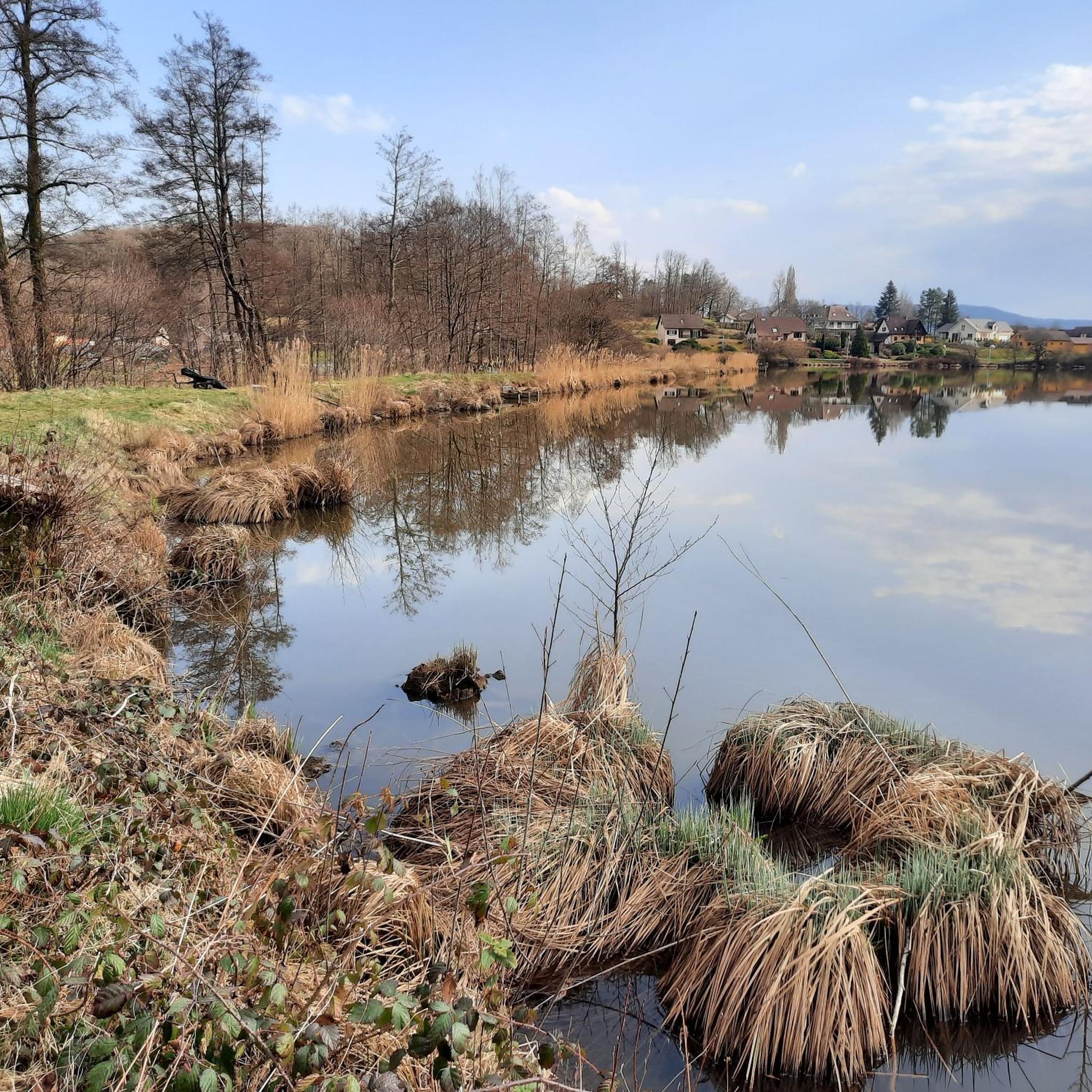
The Étang du Malsaucy (often also called Lac du Malsaucy) is, with an area of 55 hectares, the largest lake in the French department of Territoire de Belfort. It is nestled in the Parc naturel régional des Ballons des Vosges, spread across the municipalities of Évette-Salbert, Lachapelle-sous-Chaux, and Sermamagny. Originally built at the end of the 15th century for fish farming, it is now one of the most important recreational and natural areas in the region.
7
0
Een schilderachtig stuwmeer langs de beklimming van de Ballon d'Alsace, omringd door de beboste hellingen van de Vogezen. 🚴⛰️🌲
8
0
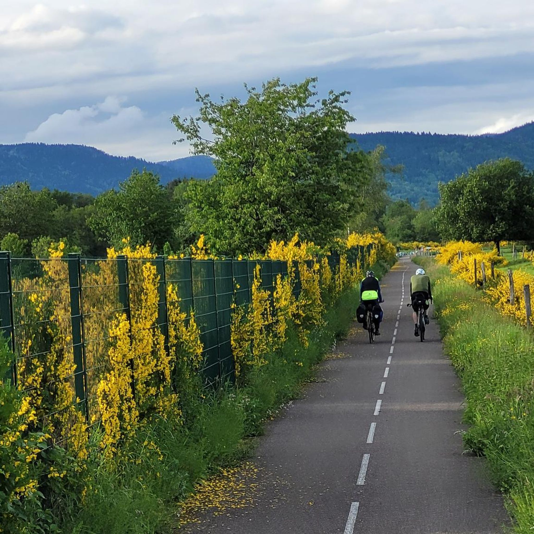
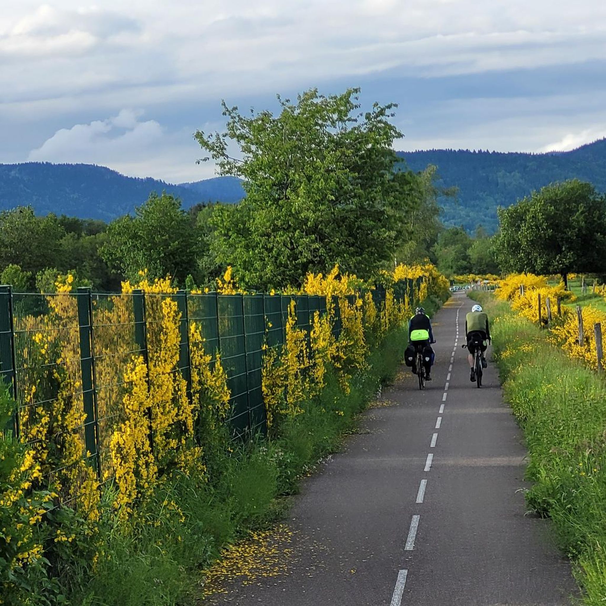
A spectacular hairpin bend on the climb to the Ballon d'Alsace. As the road winds its way up the slope, beautiful views open up over the wooded valley of the Vosges.
7
0
A picturesque mountain lake at the foot of the Ballon d'Alsace, surrounded by forests and steep slopes. 🚴♂️🏞️⛰️
7
0
De Col des Croix is a 679-meter-high mountain pass in the French Vogezen massif, located on the border of the Vosges and Haute-Saône departments. The pass forms an accessible connecting road (the D486) between the northern Le Thillot and the southern Servance. At the top, you will find the well-known Le Chalet Snack du Col des Croix, and the road splits towards the D16 (Route des Forts), the route that continues to the higher Ballon de Servance.
6
0
The descent from the Ballon de Servance to the Col des Croix is a technical and quiet route of 10.1 kilometers along the Route des Forts (D16). During this ride, you descend 478 meters with an average gradient of 4.7%. I found it a nice descent.
7
0
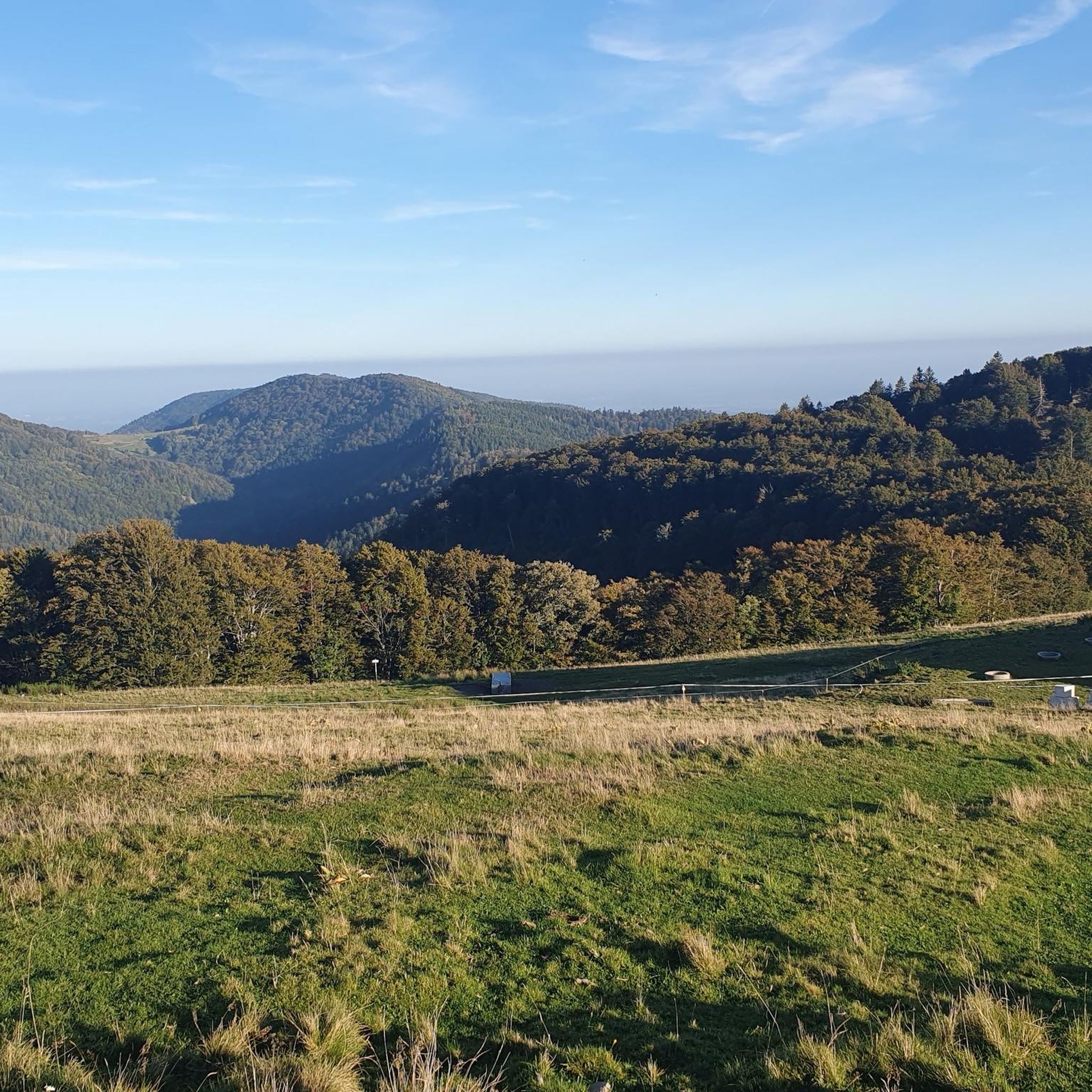
The end of the climb is somewhat disappointing. There is nothing marked. No photo opportunity. You have a small parking lot, a closed military road, and a picnic spot well hidden under the trees. At the two yellow signs (mainly for hikers) there is the only indication that you are at the Ballon de Servance and at 1158 m. The climb is "cozy". No cars, completely shaded, a few kilometer markers.
7
0
From Plancher‑Bas, a long, quiet forest climb begins towards the Ballon de Servance, deep in the Parc naturel régional des Ballons des Vosges. Over more than 18 kilometers, you gain almost 900 meters in altitude, but the real height difference is in the final kilometers: there, stretches of 5 to 12% steadily push you upwards through dense, shady forest. The road is narrow, quiet, and feels purely natural — a climb where you get completely into rhythm. At the top, there is no classic viewpoint, but an open space near the military area: sober, quiet, and precisely for that reason so typical of Servance.
8
0
Frequently Asked Questions
How many road cycling routes are available around Tscha?
There are over 320 road cycling routes around Tscha, offering a wide variety of options for different skill levels. The region is highly rated by the komoot community, with an average score of 4.6 stars from over 300 reviews.
What kind of terrain can I expect on road cycling routes in Tscha?
Road cycling in Tscha, located within the Ballons des Vosges Regional Natural Park, features diverse terrain. You'll encounter challenging mountain passes, rounded 'Ballons,' dense forests, and serene valleys. Many routes include significant elevation changes, characteristic of the Vosges Mountains.
Are there easy road cycling routes suitable for beginners in Tscha?
Yes, Tscha offers routes suitable for various fitness levels. For an easier ride, consider routes like the Étang du Malsaucy – Véronne Pond loop from Lepuix, which covers 21.7 miles (34.9 km) with moderate elevation gain, making it a good option for those seeking a less strenuous experience.
What are some challenging routes for experienced road cyclists?
Experienced road cyclists will find plenty of challenging routes in Tscha. The region is known for its demanding climbs, including those featured in the Tour de France. Routes like the Ballon d'Alsace and the Lakes Loop (45.3 miles / 72.9 km) or the La planche des belles filles — Loop from Malsaucy (34.1 miles / 54.9 km) offer significant ascents and rewarding views.
Are there circular road cycling routes around Tscha?
Yes, many road cycling routes in Tscha are designed as circular loops, allowing you to start and end at the same point. An example is the Ballon de Servance – Col des Croix loop from Bas-Evette, a 50.2 miles (80.8 km) trail that takes you through mountainous terrain and two significant passes.
What scenic viewpoints or landmarks can I see along the road cycling routes?
The routes around Tscha offer numerous scenic viewpoints and historical landmarks. You can encounter mountain passes like Chevrères Pass or Col du Mont Jean. Additionally, historical sites such as the Citadel of Belfort and Fort de Giromagny are nearby and can be incorporated into your rides.
What do other road cyclists enjoy most about road cycling in Tscha?
The komoot community highly rates road cycling in Tscha, with an average score of 4.6 stars. Cyclists often praise the challenging mountain passes, the stunning views from the 'Ballons,' and the quiet roads that wind through forests and valleys, offering an immersive natural experience.
Are there any routes that pass by lakes or water features?
Yes, the Ballons des Vosges region is home to numerous lakes and rivers. The Ballon d'Alsace and the Lakes Loop is a prime example, featuring the iconic Ballon d'Alsace climb alongside scenic lakes, providing beautiful water views during your ride.
Can I find routes that are suitable for families or more relaxed cycling?
While many routes involve significant climbing, the region also offers options for more relaxed cycling. Greenways, like the Hautes-Vosges greenway, provide safe and pleasant routes through mountains, valleys, forests, and meadows, often car-free, which can be suitable for families or those seeking a gentler ride.
What is the best season for road cycling in Tscha?
The best season for road cycling in Tscha is typically from spring through autumn. During these months, the weather is generally favorable, and the mountain passes are clear of snow, allowing access to the full range of routes and the stunning natural beauty of the Ballons des Vosges Regional Natural Park.
Are there places to stop for refreshments or food along the routes?
The villages and towns scattered throughout the Ballons des Vosges Regional Natural Park, including those along popular cycling routes, often have local cafes, bakeries, and restaurants where you can stop for refreshments, a meal, or to refill your water bottles.
Where can I find parking for road cycling routes in Tscha?
Parking is generally available in the towns and villages that serve as starting points for many routes. For example, you can often find parking near the beginning of routes departing from Malsaucy or Bas-Evette, allowing convenient access to the cycling network.
Most popular attractions around Tscha

Get inspired with the komoot mobile app


Explore more
Browse the best Road cycling routes in other regions.
