The best walks and hikes around Egelingen
4.4
(607)
4,695
hikers
236
hikes
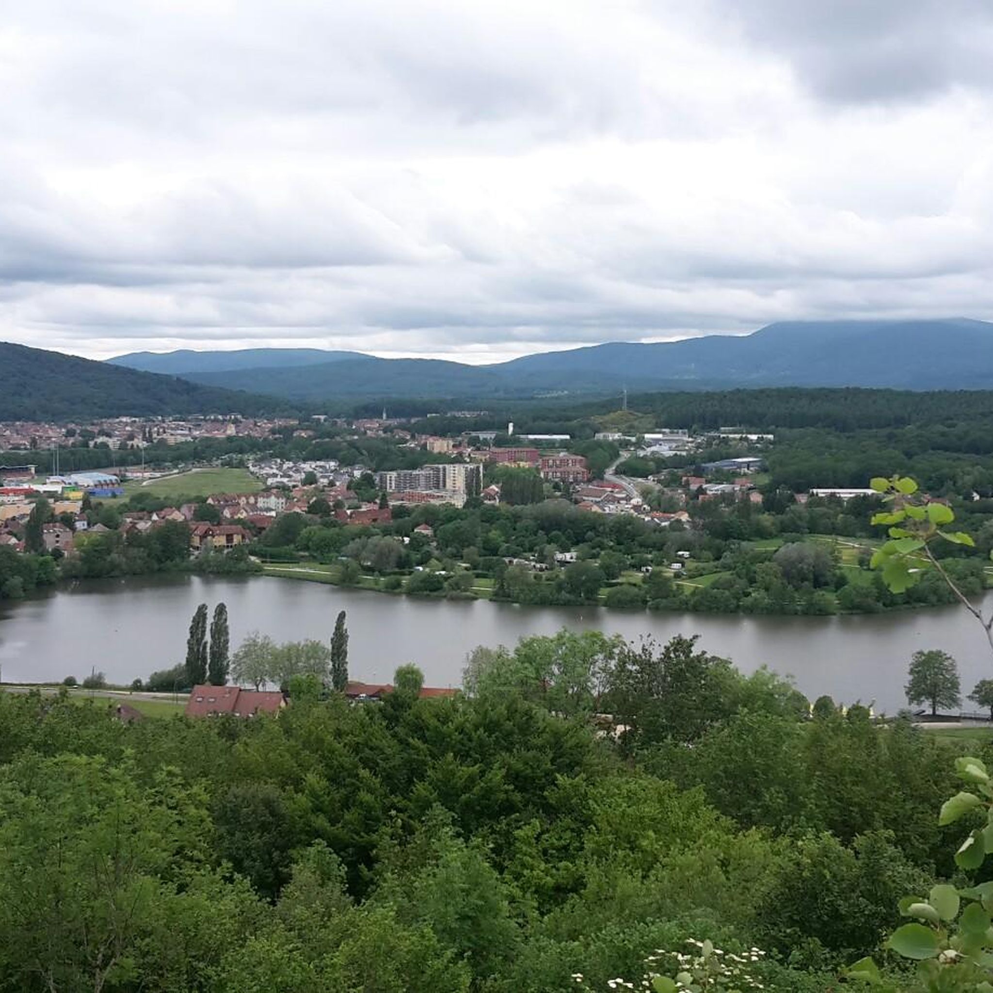
Hiking around Egelingen offers a diverse landscape characterized by woodlands, tranquil ponds, and the foothills of the Massif des Vosges. The terrain includes a mix of forest paths and open areas, with varied elevation gains. This region provides a range of hiking trails suitable for different fitness levels.
Best hiking trails around Egelingen
- The most popular hiking route is Bridge over the Autruche – Stone Water Source loop from Bessoncourt, a 7.7 miles (12.3 km) trail that takes 3…
Last updated: August 1, 2026
4.6
(7)
23
hikers
12.2km
03:13
100m
100m
Moderate hike. Good fitness required. Easily-accessible paths. Suitable for all skill levels.
4.5
(6)
28
hikers
10.3km
02:49
170m
160m
Moderate hike. Good fitness required. Easily-accessible paths. Suitable for all skill levels.

Sign up for free
5.0
(3)
10
hikers
10.2km
02:52
170m
170m
Moderate hike. Good fitness required. Mostly accessible paths. Sure-footedness required.
3.0
(1)
16
hikers
11.6km
03:01
80m
80m
Moderate hike. Good fitness required. Easily-accessible paths. Suitable for all skill levels.
10
hikers
9.72km
02:37
120m
120m
Moderate hike. Good fitness required. Mostly accessible paths. Sure-footedness required.
Get access to more routes and recommendations from other explorers.
Sign up for free
Already have an account?
Our route recommendations are based on thousands of hikes, rides, and runs completed by other people on komoot.
Start today with a free account
Your next adventure awaits.
Login or Signup


Tips from the Community


Named after General Sénarmont, Fort Bessoncourt was built between 1883 and 1886 to close the roads to Colmar and Basel and the railway to Mulhouse, and to support the forts of Roppe and Vézelois. It is a large pentagonal limestone structure, built for approximately 650 men and 30 artillery pieces. It is typical of forts dating from the 1880s, in which the long-range artillery and close defense were grouped on the rampart bordering the ditch, while the infantry was positioned above the caponiers of the escarpment and on the roof of the central barracks. Opening hours: Visit at 3 p.m. on Sundays from May to September
2
1

Symbol of the inhabitants of Belfort below, this tower is more fragile than it seems. Bombed twice in the last two centuries, it has been rebuilt each time. With a fantastic view of the Etang des Forges, it is an excellent accompaniment to your run.
2
0

Started in 1831, roughly triangular in shape, it is a bastioned fort with a cavalier, intended to accommodate a dozen guns in the open air. On the west bastion stands a tower serving as an observatory. Hit by shells in 1870-1871 and in 1940, it was rebuilt each time, more for sentimental than military reasons. Indeed, before the construction of the fort, this place was already occupied by a very old stone tower of uncertain origins and destination, which has become a real symbol for the Belfortains.
0
0
France presenting Victory" Sculpture by Louis Maubert (1875-1949), born in Paris.
0
0
The Vosges massif or the Vosges is a massif of medium mountains in the North-East of France which separates the Lorraine plateau from the plain of Alsace. Of Variscan origin and mainly made up of sandstone and granite, it reaches altitudes culminating at 1,424 meters at the Grand Ballon.
0
0
Frequently Asked Questions
How many hiking trails are available around Egelingen?
Egelingen offers a wide selection of hiking opportunities, with over 200 routes available. These trails cater to various preferences, from easy strolls to more challenging ascents.
What kind of terrain can I expect on hikes in Egelingen?
The region around Egelingen is characterized by diverse terrain, including dense woodlands, serene ponds, and the varied foothills of the Massif des Vosges. You'll find a mix of forest paths and open areas, with varied elevation gains, offering a blend of natural beauty.
Are there family-friendly hiking options in Egelingen?
Yes, Egelingen has numerous trails suitable for families. Many routes are well-maintained and offer easy walks. For example, the area features 83 easy tours, perfect for a leisurely family outing.
Can I bring my dog on the hiking trails in Egelingen?
While specific regulations for dogs vary, the natural landscapes of Egelingen, with its woodlands and open spaces, are generally welcoming for dog walkers. It's always recommended to keep your dog on a leash and check local signage for any specific restrictions on individual trails.
Are there any circular hiking routes in Egelingen?
Yes, many of the trails around Egelingen are designed as circular routes, allowing you to start and end at the same point. A popular option is the Étang du Moulin des Bois loop from Phaffans, which takes you through forested areas and past a tranquil pond.
What natural features or landmarks can I see while hiking in Egelingen?
Beyond the beautiful woodlands and ponds, the region offers interesting historical and natural landmarks. You can explore sites like the Canal du Rhône au Rhin or the Valdieu-Lutran lock scale. The area also features the varied terrain of the Vosges foothills.
Are there any historical sites or castles near the hiking trails?
Yes, the region is rich in historical sites. You can find several castles and historical landmarks. Notable examples include the impressive Citadel of Belfort and the Lion of Belfort, which are significant points of interest in the wider area.
What do other hikers say about the trails in Egelingen?
The hiking routes in Egelingen are highly rated by the komoot community, with an average score of 4.3 stars from over 500 reviews. Hikers often praise the diverse landscapes, the mix of forest and open terrain, and the well-maintained paths suitable for various fitness levels.
Is parking available at the trailheads in Egelingen?
While specific parking information for every trailhead isn't provided, most popular hiking areas in regions like Egelingen typically offer designated parking facilities. It's advisable to check the starting point of your chosen route for detailed parking options.
What is the best time of year to hike in Egelingen?
The diverse landscapes of Egelingen, with its woodlands and ponds, are enjoyable throughout much of the year. Spring and autumn offer pleasant temperatures and vibrant scenery, while summer provides lush greenery. Winter hikes can also be beautiful, though some paths might be more challenging.
Are there any easy trails for beginners in Egelingen?
Absolutely. Egelingen offers 83 easy trails, perfect for beginners or those looking for a relaxed walk. These routes typically feature less elevation gain and well-defined paths. An example of a moderate route that can be enjoyed by those with some fitness is the Bridge over the Autruche – Stone Water Source loop from Bessoncourt.
Can I access hiking trails in Egelingen using public transport?
While the guide focuses on the trails themselves, regions with varied terrain like Egelingen often have public transport links to larger towns nearby. From these towns, local buses or short taxi rides might connect you to specific trailheads. It's best to research local transport options for your chosen starting point.
Are there places to eat or stay near the hiking areas in Egelingen?
The region around Egelingen, being a popular outdoor destination, likely offers various amenities. You can expect to find cafes, pubs, and accommodation options in nearby villages and towns. These establishments provide convenient stops for refreshments or overnight stays after a day of hiking.
What makes hiking in Egelingen unique compared to other regions?
Hiking in Egelingen stands out due to its unique combination of dense woodlands, tranquil ponds, and its position in the foothills of the Massif des Vosges. The varied terrain, from gentle paths to moderate ascents, provides a rich and diverse experience, often praised for its natural beauty and peaceful atmosphere.
Are there any longer, more challenging hikes available?
Yes, for those seeking a greater challenge, Egelingen offers 20 difficult trails and 109 moderate routes. A good example of a moderate route with some elevation changes is the Clairière de Saint Germain – The felon tour loop from Felon, which takes you through woodlands over a distance of 6.3 miles (10.2 km).
Most popular routes around Egelingen
Most popular attractions around Egelingen

Get inspired with the komoot mobile app


Explore more
Browse the best Hikes in other regions.
