The best MTB trails around Etzling
4.5
(2423)
8,936
riders
360
rides
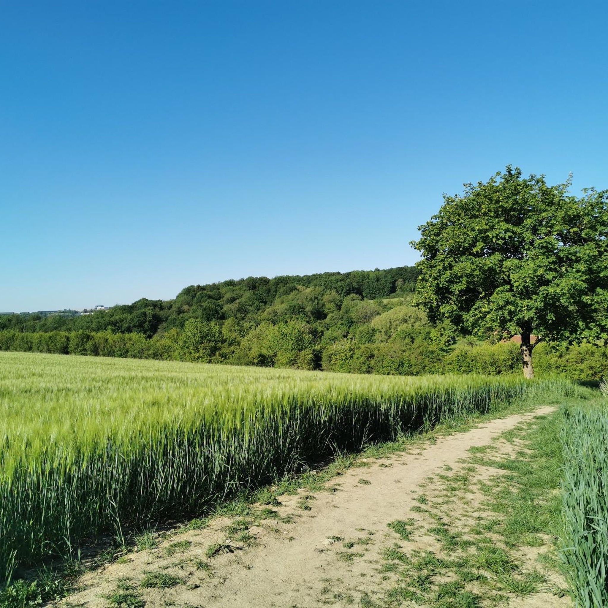
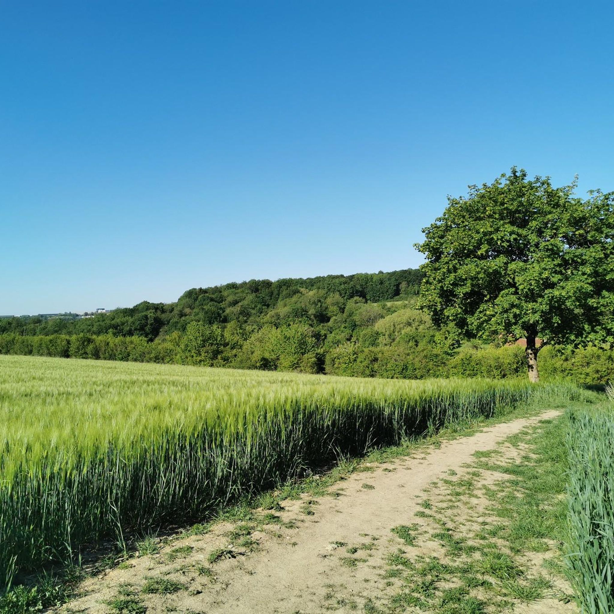
Mountain biking around Etzling offers a diverse landscape characterized by rolling hills, dense woodlands, and river valleys, particularly along the Saar River. The region features a network of trails that traverse both open countryside and forested sections, providing varied terrain for mountain bikers. Elevations are generally moderate, with some routes offering panoramic views from higher ground. The area's natural features make it suitable for a range of mountain biking experiences.
Best mountain bike trails around Etzling
- The most popular mountain…
Last updated: October 8, 2026
5.0
(3)
16
riders
Moderate mountain bike ride. Great for any fitness level. Advanced riding skills necessary.
4.0
(2)
14
riders
20.6km
02:02
450m
450m
Moderate mountain bike ride. Good fitness required. Advanced riding skills necessary.

5.0
(1)
13
riders
25.6km
01:54
370m
370m
Moderate mountain bike ride. Good fitness required. Advanced riding skills necessary.
3.7
(6)
13
riders
16.5km
01:16
190m
190m
Easy mountain bike ride. Great for any fitness level. Suitable for all skill levels.
10
riders
10.4km
01:04
250m
250m
Easy mountain bike ride. Great for any fitness level. Suitable for all skill levels.
Get access to more routes and recommendations from other explorers.
Already have an account?
Our route recommendations are based on thousands of hikes, rides, and runs completed by other people on komoot.
Start today with a free account
Your next adventure awaits.
Tips from the Community

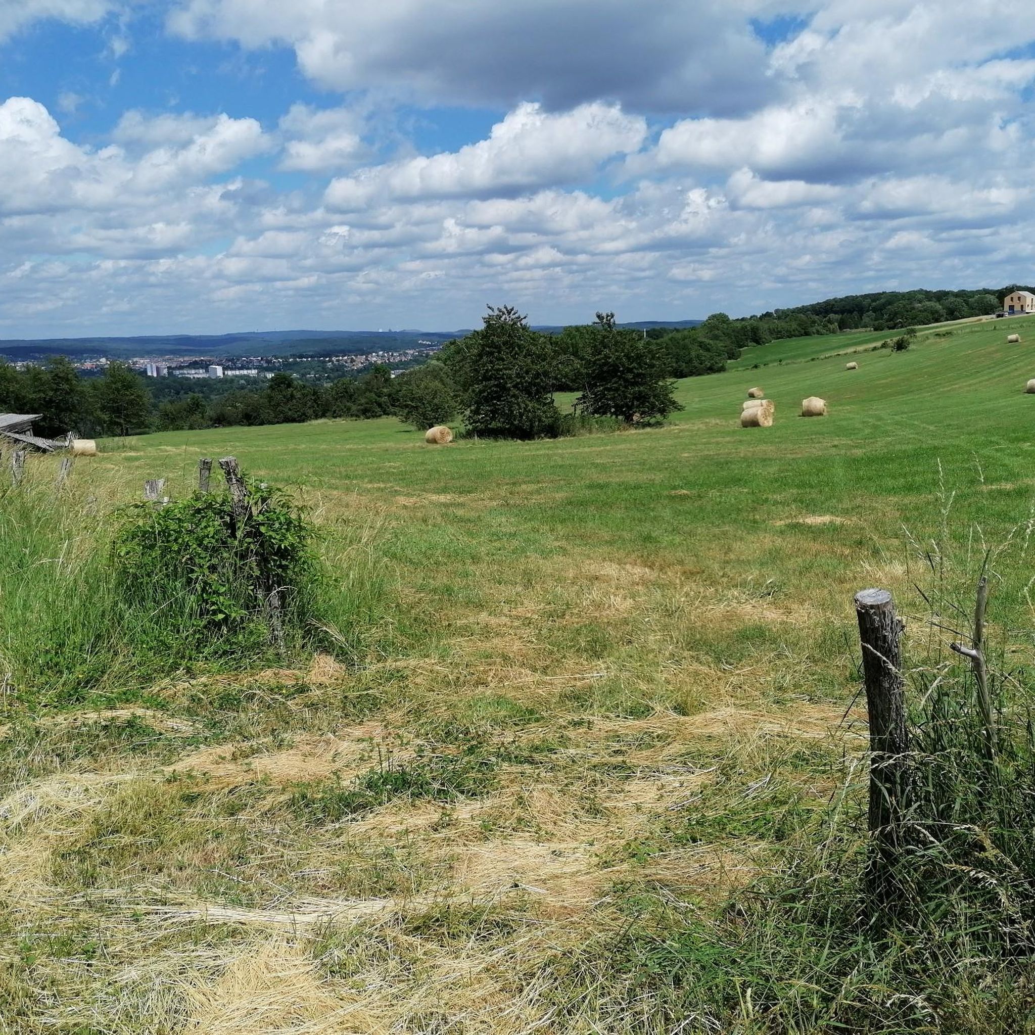
Very beautiful view in the direction of the Vosges
0
0

Best alternative way to get off the departmental road!
0
0

You have to be careful at this location. The track is narrow and to the left side there is a very steep drop, maybe 20ft down. If you fall here you will hurt yourself. Think and be safe
0
0
This is a religious mound with artefacts all around it. Just before you reach Tenteling, France. It invites you to stop and look to see what it actually ise
0
0

Very close to the border with Germany we find this impressive forest of Mount Saint Croix that is worth exploring either on foot or by bike!
2
0
Right on the border between France and Germany we find this lush forest that is worth exploring either on foot or by bike.
2
0

The Chalet Amis de la Nature Glück Auf Hütte is a mountain hut that follows the tradition of the Amis de la Nature (Friends of Nature). The Friends of Nature are an international movement committed to protecting the environment and promoting environmentally conscious tourism. The name "Glück Auf" comes from the miners' tradition and was a typical greeting in the mining industry that wished for prosperity and safety. Such huts often offer overnight accommodation and food for hikers and travelers and are located in scenic areas that invite outdoor activities such as hiking and relaxation.
2
0

Frequently Asked Questions
How many mountain bike trails are available around Etzling?
There are over 330 mountain bike trails in the Etzling area, offering a wide range of options for different skill levels. This includes more than 90 easy routes, over 200 moderate trails, and around 35 difficult paths for experienced riders.
What kind of terrain can I expect on mountain bike trails in Etzling?
Mountain biking around Etzling features a diverse landscape of rolling hills, dense woodlands, and river valleys, particularly along the Saar River. You'll find a mix of open countryside and forested sections, with generally moderate elevations. The varied terrain provides options for all types of mountain biking experiences.
Are there easy mountain bike trails suitable for beginners or families in Etzling?
Yes, Etzling offers over 90 easy mountain bike trails perfect for beginners or families. An excellent option is the Lock on the Saar – Saar Cycle Route loop from Etzling, which is 13.6 miles (21.9 km) long and features moderate elevation gains, making it a pleasant ride.
What are some options for more challenging mountain bike rides in the Etzling area?
For more challenging rides, Etzling has around 35 difficult mountain bike trails. While not explicitly listed as 'difficult' in the provided routes, trails with higher elevation gains like the Le Glück Auf Lodge – La Croix Flow Trail loop from Spicheren, with over 445 meters of ascent, offer a more demanding experience.
Can I find loop mountain bike trails around Etzling?
Yes, the majority of mountain bike trails around Etzling are designed as loops, allowing you to start and finish at the same point. For example, the Bousbach Cycle Path – View of the wind turbines loop from Kerbach is a popular 19.9-mile (32.0 km) loop that offers open sections and views of wind turbines.
Are there mountain bike trails with scenic viewpoints in Etzling?
Many trails in Etzling offer scenic views, especially those that traverse rolling hills and elevated areas. The Trail – Panorama of the Heights loop from Behren-lès-Forbach is a 12.4-mile (19.9 km) route specifically known for leading through elevated sections with panoramic vistas.
What interesting sights or landmarks can I see along mountain bike routes in Etzling?
Along the mountain bike routes, you can encounter various points of interest. Many trails follow or cross the Saar Cycle Route, offering riverside views. Other notable attractions include the Sarreguemines Riverside Promenade, the Harbor of the old Saar barges, and the Lock on the Saar Coal Canal. You might also pass by serene spots like the Mühlenwald Pond or the Burbach Forest Pond.
What do other mountain bikers say about the trails in Etzling?
The mountain bike trails in Etzling are highly regarded by the komoot community, with an average rating of 4.5 stars from over 1800 reviews. More than 8000 mountain bikers have explored the area using komoot, often praising the diverse terrain, well-maintained paths, and the scenic beauty of the river valleys and woodlands.
Are mountain bike trails in Etzling dog-friendly?
Generally, mountain bike trails in Etzling are dog-friendly, especially those in natural areas and woodlands. However, it's always recommended to keep your dog on a leash, especially in areas with wildlife or near roads, and to check local regulations for specific trails or protected areas.
Is parking available at the trailheads for mountain biking in Etzling?
Yes, parking is typically available at common starting points for mountain bike trails in and around Etzling. Many routes, especially those starting from towns or villages, will have designated parking areas. For example, routes originating from Forbach or Kerbach usually have accessible parking.
What is the best time of year for mountain biking in Etzling?
The best time for mountain biking in Etzling is generally from spring through autumn (April to October). During these months, the weather is usually mild, and the trails are in good condition. Spring brings lush greenery, while autumn offers beautiful foliage. Winter riding is possible but can be challenging due to colder temperatures and potentially muddy or icy conditions.
How accessible are Etzling's mountain bike trails by public transport?
Accessibility by public transport varies depending on the specific trailhead. Larger towns near Etzling, such as Forbach, often have better public transport links. From these points, you may be able to cycle to nearby trailheads. However, for many routes, especially those deeper in rural areas, driving to the trailhead is often more convenient.
Most popular attractions around Etzling

Get inspired with the komoot mobile app


Explore more
Browse the best MTB trails in other regions.
