The best running trails around Saint-Donat
4.8
(53)
5,511
runners
175
runs
Jogging routes around Saint-Donat offer a diverse landscape within the Laurentian Mountains of Quebec. The region is characterized by dense forests, rolling countryside, and numerous lakes, including Lac Archambault and Lac Ouareau. This topography provides varied terrain for runners, from gentle paths to more challenging routes with significant elevation changes. The extensive trail networks cater to different skill levels, allowing for exploration of the natural environment.
Best jogging routes around Saint-Donat
- The most popular jogging route is Vallée de la…
Last updated: October 2, 2026
16
runners
13.1km
01:34
320m
320m
Hard run. Very good fitness required. Mostly paved surfaces. Suitable for all skill levels.
12
runners
22.2km
03:04
810m
810m
Hard run. Very good fitness required. Sure-footedness, sturdy shoes and alpine experience required.

5.0
(1)
7
runners
6.65km
00:43
80m
80m
Moderate run. Good fitness required. Mostly paved surfaces. Suitable for all skill levels.
5.0
(1)
12
runners
9.16km
00:59
150m
150m
Moderate run. Good fitness required. Mostly paved surfaces. Suitable for all skill levels.
7
runners
9.35km
01:03
120m
120m
Moderate run. Good fitness required. Mostly paved surfaces. Suitable for all skill levels.
Get access to more routes and recommendations from other explorers.
Already have an account?
Our route recommendations are based on thousands of hikes, rides, and runs completed by other people on komoot.
Start today with a free account
Your next adventure awaits.
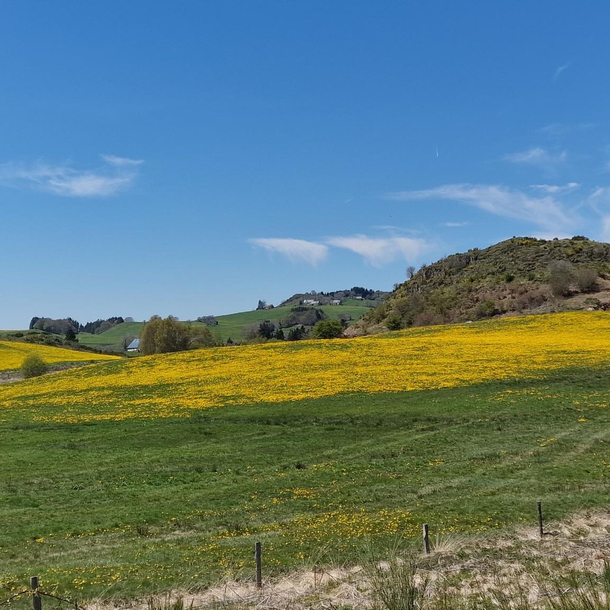
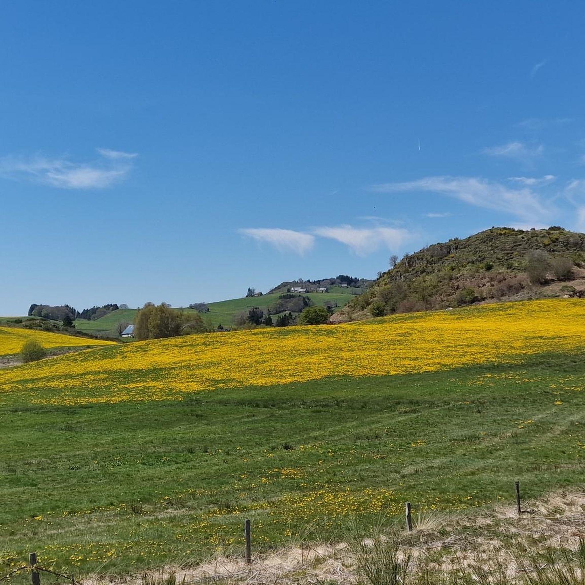
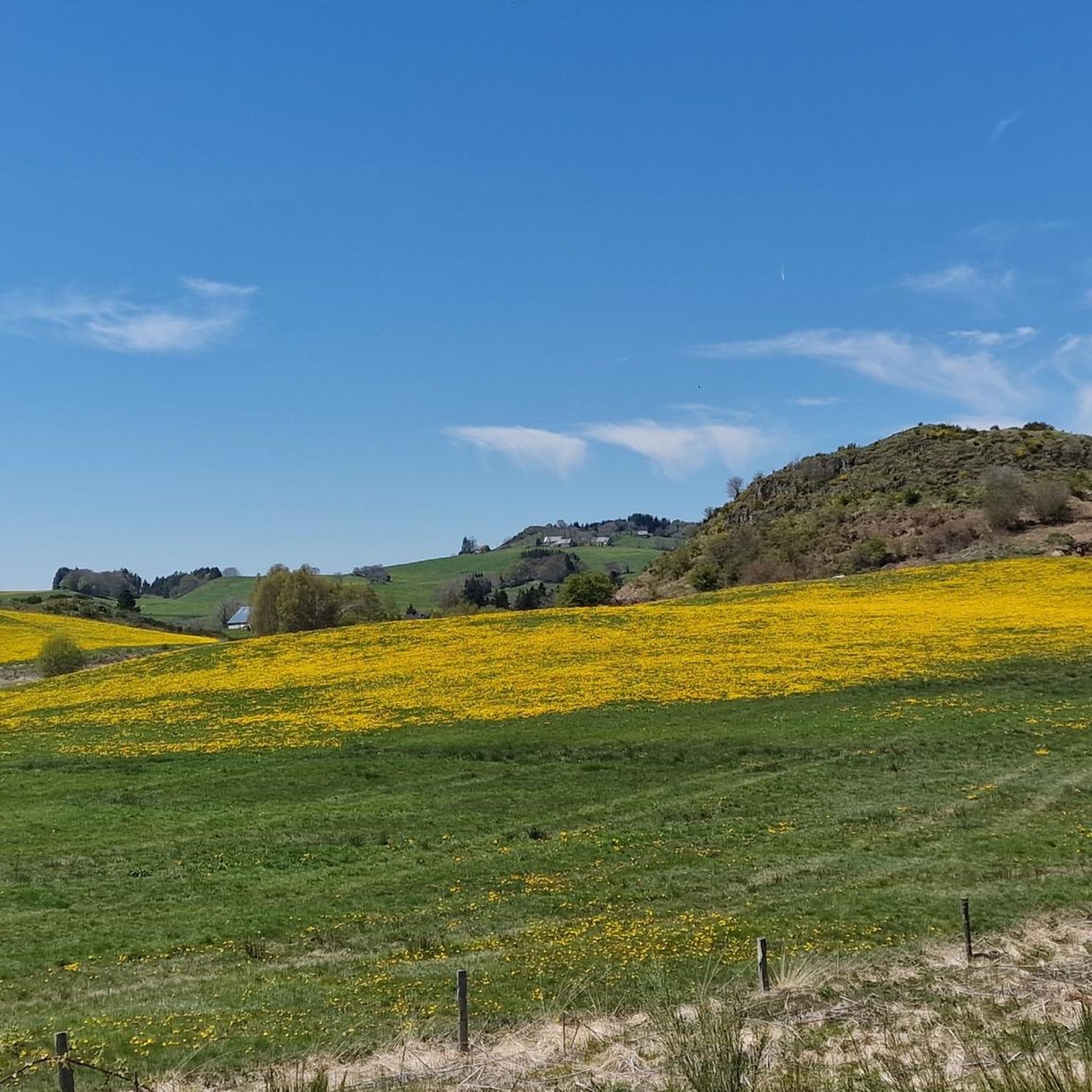
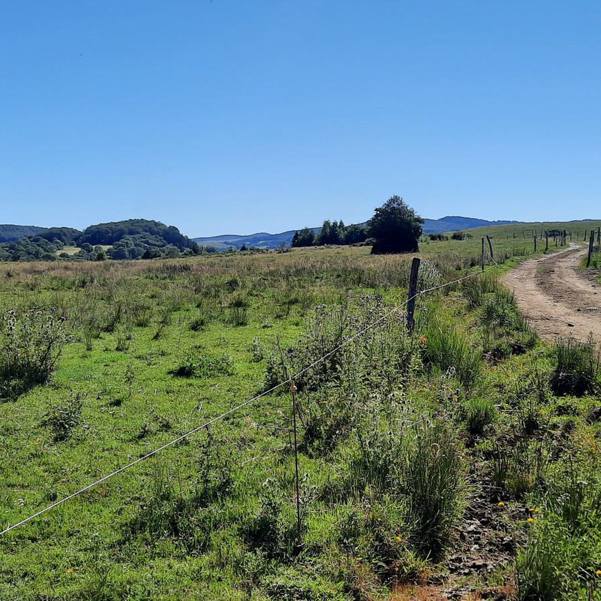


Tips from the Community

Located at 1,886 meters above sea level, the Puy de Sancy is the highest point of the Massif Central but also of Auvergne. Considered the king of the Monts Dore, this stratovolcano is 300,000 years old. At the top the panorama of the surroundings is magnificent, on a clear day it is even possible to see Mont Blanc!
1
0

I rode Gravel, but not ideal, prefer hiking.
1
0

Because its 1,886 meters of altitude project it onto the roof of Auvergne, the Puy de Sancy is considered the king of the Monts Dore. 300,000 years old when its neighbors in Cantal are 20 million years old, this stratovolcano has experienced relentless erosion. As a result, its flanks are notched and the circuses that surround it overflow with majesty. On the neighboring ridges, you can make out jagged rocks in the middle of grassy slopes. Finally, when the sky is proudly clear, Mont Blanc stands out in the distance... After its tough ascent, take the time to get drunk on this geological giant.
7
2

Lac de la Crégut is the largest natural lake of glacial origin in the Massif Central. From its banks, you can enjoy magnificent views of the Monts du Cantal and the surrounding lakes. It is now part of a whole system of reservoirs that supply water to the Rhue hydroelectric power station, at the Bort dam.
0
0
Lac de la Crégut is the largest natural lake of glacial origin in the Massif Central. From its banks, you can enjoy magnificent views of the Cantal mountains and the surrounding lakes. It is now part of a whole system of reservoirs that supply water to the Rhue hydroelectric power station, at the Bort dam.
4
0
Lac du Tact is an artificial lake that flows into Lac de la Crégut via a weir. It is part of a whole system of reservoirs that supply water to the Rhue hydroelectric power station, at the level of the Bort dam.
0
0
Different points of view accessible on the Sancy massif
0
0
The ascent (and descent) of the Col de Couhay offers, when the weather is nice, pretty views over the bottom of the valley as well as over the Cézallier and the Cantal mountains.
0
0
Frequently Asked Questions
How many running routes are available in Saint-Donat?
Saint-Donat offers a vast network of trails, with over 170 running routes available for exploration. These routes cater to various skill levels, from easy paths to more challenging ascents through the Laurentian Mountains.
What kind of terrain can I expect on the running trails around Saint-Donat?
The terrain in Saint-Donat is highly varied, reflecting its location within the Laurentian Mountains. You can expect a mix of dense forests, rolling countryside, and paths around numerous lakes like Lac Archambault and Lac Ouareau. Routes range from gentle, flat sections to more challenging trails with significant elevation changes, particularly around areas like Montagne Noire.
Are there running routes suitable for beginners in Saint-Donat?
Yes, Saint-Donat offers several routes ideal for beginners. There are 6 easy running trails available, providing a gentler experience through the region's beautiful landscapes. These paths are perfect for those looking for a less strenuous run.
Can I find challenging running trails for experienced runners in Saint-Donat?
Absolutely. For experienced runners seeking a challenge, Saint-Donat boasts 77 difficult routes. Trails around areas like Montagne Noire offer significant elevation changes and rewarding views. One such challenging route is Vallée de la Fontaine Salée loop from Chastreix, which is 12.9 km long and features substantial climbs.
What do other runners enjoy most about the trails in Saint-Donat?
The running routes in Saint-Donat are highly rated by the komoot community, with an average score of 4.6 stars from over 40 reviews. Runners frequently praise the diverse terrain, the stunning natural beauty of the Laurentian Mountains, and the well-maintained paths that offer a scenic experience through forests and alongside lakes.
Are there any running routes that offer scenic viewpoints?
Yes, Saint-Donat is known for its breathtaking vistas. Trails around Montagne Noire lead to lookouts with panoramic views of the surrounding mountains and lakes. Other popular options for great views include Mont Sourire for an easily accessible viewpoint, and Cap de la Fée or Mont Ouareau for moderate challenges with stunning lake and mountain scenery.
Are there any interesting natural landmarks or attractions to see while running?
Beyond the general scenery, Saint-Donat offers several points of interest. The Lac de la Crégut is a picturesque lake that features on a popular running loop. The region is also abundant with other beautiful lakes such as Lake Pavin and Lac Chauvet. For those interested in history, a 13 km loop on Montagne Noire passes the historic crash site of the Liberator Harry aircraft.
Are there any family-friendly running options in Saint-Donat?
Saint-Donat offers various trails suitable for families. Parc des Pionniers, located in the heart of the village, features trails that are excellent for jogging and are generally accessible. Many of the easier and moderate routes, particularly those with less elevation gain, can be enjoyed by families looking for a pleasant outdoor activity.
Can I bring my dog on the running trails in Saint-Donat?
Yes, many of the hiking and running trails in Saint-Donat are dog-friendly, provided your dog is kept on a leash. This allows you to enjoy the natural beauty of the region with your canine companion.
Are there any circular running routes in Saint-Donat?
Yes, many of the running trails in Saint-Donat are designed as loops, offering a convenient way to start and end your run at the same point. Examples include the Bois Rouge loop from Chastreix, a moderate 9.6 km path, and the Lac de la Crégut loop from Saint-Genès-Champespe, which is 14.1 km long.
What is the best time of year for running in Saint-Donat?
Saint-Donat offers beautiful running conditions throughout much of the year. Spring and summer provide lush green landscapes and pleasant temperatures. Fall is particularly stunning, with the Laurentian Mountains showcasing vibrant fall foliage, making it an ideal time for scenic runs. Winter also offers opportunities for running, though some trails may be better suited for snowshoeing or cross-country skiing.
Are there any running routes near water bodies like lakes or rivers?
Saint-Donat is abundant with water bodies, and many running routes incorporate them. You can find trails winding around the impressive Lac Archambault and Lac Ouareau, as well as numerous smaller coves and bays. The Lac de la Crégut loop from Saint-Genès-Champespe is a prime example of a route that takes you around a picturesque lake.
Most popular routes around Saint-Donat
Most popular attractions around Saint-Donat

Get inspired with the komoot mobile app


Explore more
Browse the best Running Trails & Routes in other regions.
