The best walks and hikes around La Croisille-Sur-Briance
4.7
(108)
460
hikers
58
hikes
Hiking around La Croisille-Sur-Briance offers diverse landscapes within the Haute-Vienne department of France. The region is characterized by its position at the foot of Mont Gargan and on the western edge of the Millevaches plateau, featuring extensive forested areas and the Briance River. Numerous lakes and ponds also contribute to the natural environment, providing varied terrain for outdoor activities.
Best hiking trails around La Croisille-Sur-Briance
- The most popular hiking route is Tour of Mont Gargan, a 4.2 miles (6.8…
Last updated: May 10, 2026
4.5
(16)
45
hikers
6.76km
01:56
170m
170m
Easy hike. Great for any fitness level. Easily-accessible paths. Suitable for all skill levels.
3.8
(9)
38
hikers
21.8km
06:07
430m
430m
Hard hike. Very good fitness required. Easily-accessible paths. Suitable for all skill levels.

Sign up for free
5.0
(4)
32
hikers
2.61km
00:49
100m
100m
Easy hike. Great for any fitness level. Easily-accessible paths. Suitable for all skill levels.
5.0
(2)
12
hikers
4.12km
01:13
120m
120m
Easy hike. Great for any fitness level. Easily-accessible paths. Suitable for all skill levels.
7
hikers
11.9km
03:20
240m
240m
Moderate hike. Good fitness required. Easily-accessible paths. Suitable for all skill levels.
Get access to more routes and recommendations from other explorers.
Sign up for free
Already have an account?
Our route recommendations are based on thousands of hikes, rides, and runs completed by other people on komoot.
Start today with a free account
Your next adventure awaits.
Login or Signup


Tips from the Community

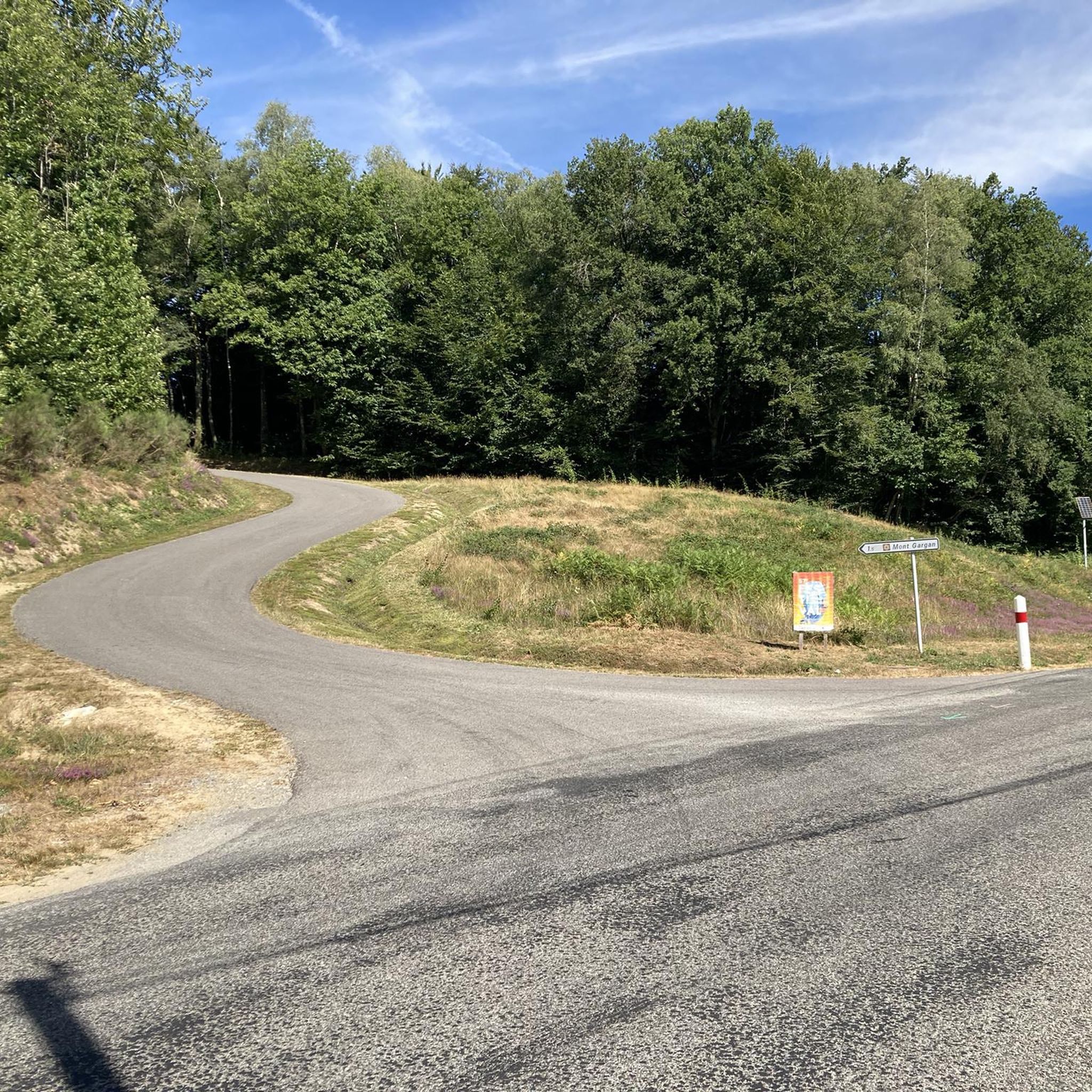
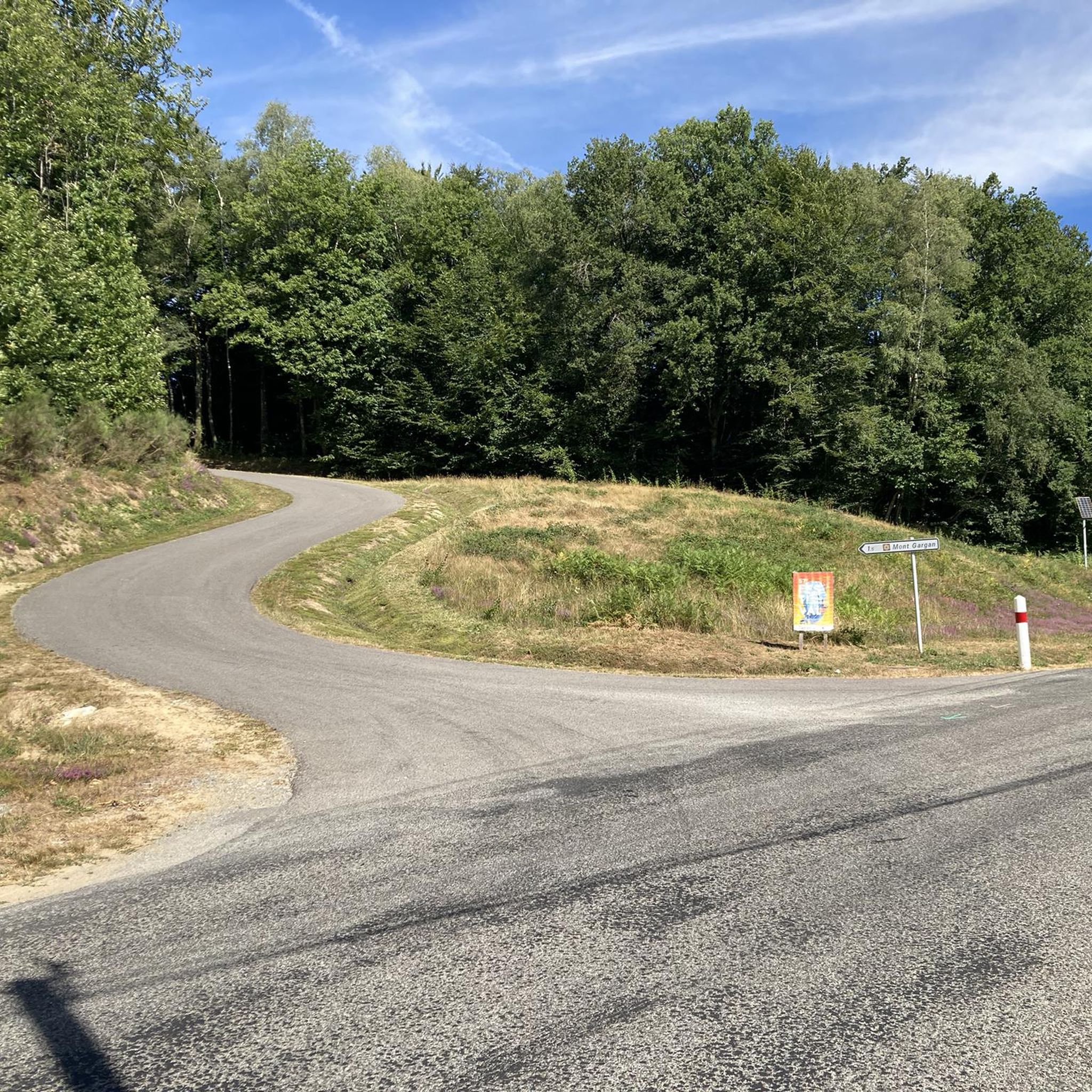
This tour is only possible when the weather is clear, as you will then have a breathtaking view.
0
0

A 730m summit which offers you magnificent views all around on the other summits of Limousin. Perched at the top, you will also find the charming remains of the Mont Gargan chapel built in the 1860s.
2
0
A 730m summit which offers you magnificent views all around on the other summits of Limousin. Perched at the top, you will also find the charming remains of the Mont Gargan chapel built in the 1860s.
2
0

Located in the town of Saint-Gilles-Les-Forêt, highest point at 730m, it offers a 360° panorama with two orientation tables. Accessible from the car park below about 300m. You will pass through a magnificent alley of century-old beech trees with twisting branches. On the summit you can see the remains of the Notre Dame du Bon Secours Chapel. Chapel which suffered from the vandalism of walkers. Some legends, which die hard, still circulate about Gargantua, hence the name: Mont Gargan... https://fr.wikipedia.org/wiki/Mont_Gargan grandsudinsolite.fr/2833-87-haute-vienne-le-mont-gargan--its-heritage-and-its-legends.html cc-briance-combade.com/tourisme/lieux-de-visites/
0
1
Frequently Asked Questions
How many hiking trails are available around La Croisille-sur-Briance?
There are over 60 hiking routes in the La Croisille-sur-Briance area, offering a wide range of options for different skill levels and preferences. These trails explore the diverse landscapes, from forested areas to the foothills of Mont Gargan.
What is the best time of year to go hiking in La Croisille-sur-Briance?
The region is beautiful throughout the year, but spring and autumn are particularly pleasant for hiking. Spring brings lush greenery and blooming wildflowers, while autumn offers vibrant foliage. Summer is also suitable, especially for higher elevations like Mont Gargan, but be prepared for warmer temperatures. Winter hikes are possible, though some trails might be muddy or require appropriate gear.
Are there any circular hiking routes in the area?
Yes, many trails in La Croisille-sur-Briance are designed as circular routes, allowing you to start and end at the same point. For example, the challenging Hiking loop from La Croisille-sur-Briance offers a comprehensive exploration of the local landscape. Another option is the easier Hiking loop from Saint-Gilles-les-Forêts, which takes you through forested areas.
What kind of terrain can I expect on the trails?
The terrain around La Croisille-sur-Briance is varied, characterized by its position at the foot of Mont Gargan and on the western edge of the Millevaches plateau. You'll encounter extensive forested areas, gentle slopes, and some more challenging ascents, particularly around Mont Gargan. Trails often follow natural paths, forest tracks, and sometimes quiet country roads. The region's rivers and numerous lakes also contribute to diverse landscapes.
Are there family-friendly hiking options in La Croisille-sur-Briance?
Absolutely. The area offers several easy trails suitable for families. The Tour of Mont Gargan, despite its name, is an easy 6.8 km route with gentle elevation changes, providing scenic views without being overly strenuous. Another accessible option is the Hiking loop from Surdoux, which is shorter and ideal for a leisurely family walk.
Can I bring my dog on the hiking trails?
Generally, dogs are welcome on trails in the La Croisille-sur-Briance region, but it's always best to keep them on a leash, especially in nature reserves or areas with livestock. Be mindful of local regulations, particularly around Mont Gargan, which is a protected natural area. Always carry water for your dog and clean up after them.
What are some notable landmarks or viewpoints to look out for?
Mont Gargan itself is a prominent landmark, offering expansive panoramic views of the Limousin mountains and the Monédières region from its summit. The 'allée des hêtres centenaires' (alley of centenary beeches) on Mont Gargan is also a beautiful natural feature. The region's numerous lakes, such as the Plan d'eau de la Croisille sur Briance, provide picturesque spots for rest and recreation.
Is there parking available at the trailheads?
Yes, parking is generally available near popular trailheads and in the villages. For routes around Mont Gargan, you can typically find designated parking areas. In La Croisille-sur-Briance and surrounding communes like Surdoux or Saint-Gilles-les-Forêts, village centers often provide convenient parking for accessing local loops.
What do other hikers enjoy most about hiking in La Croisille-sur-Briance?
The area is highly rated by the komoot community, with an average score of 4.8 stars from over 100 reviews. Hikers frequently praise the diverse and well-maintained trails, the tranquility of the forested landscapes, and the stunning panoramic views from Mont Gargan. The variety of routes, from easy strolls to more challenging treks, is also a common highlight.
Are there any historical trails in the region?
Yes, the region has a rich history, particularly related to the French Resistance during WWII. The 'Sur les Pas des Maquisards' trail, starting from La Croisille-sur-Briance, blends natural exploration with local history, tracing the footsteps of Resistance fighters. Mont Gargan itself was a significant site of combat during this period.
Can I access the hiking trails using public transport?
While public transport options to the immediate trailheads might be limited, you can often reach the main towns and villages in the region, such as La Croisille-sur-Briance, by regional bus services. From these points, many trails are accessible on foot. It's advisable to check local bus schedules in advance, as services can be infrequent, especially on weekends.
Are there places to eat or stay near the hiking routes?
La Croisille-sur-Briance and nearby villages offer a selection of local restaurants, cafes, and accommodation options, including guesthouses and small hotels. These establishments provide convenient places to refuel or stay overnight, often within a short distance of various trailheads. It's recommended to check availability and opening hours, especially during off-peak seasons.
Most popular routes around La Croisille-Sur-Briance

Get inspired with the komoot mobile app


Explore more
Browse the best Hikes in other regions.
