The best walks and hikes around Fresse-Sur-Moselle
4.6
(174)
844
hikers
54
hikes
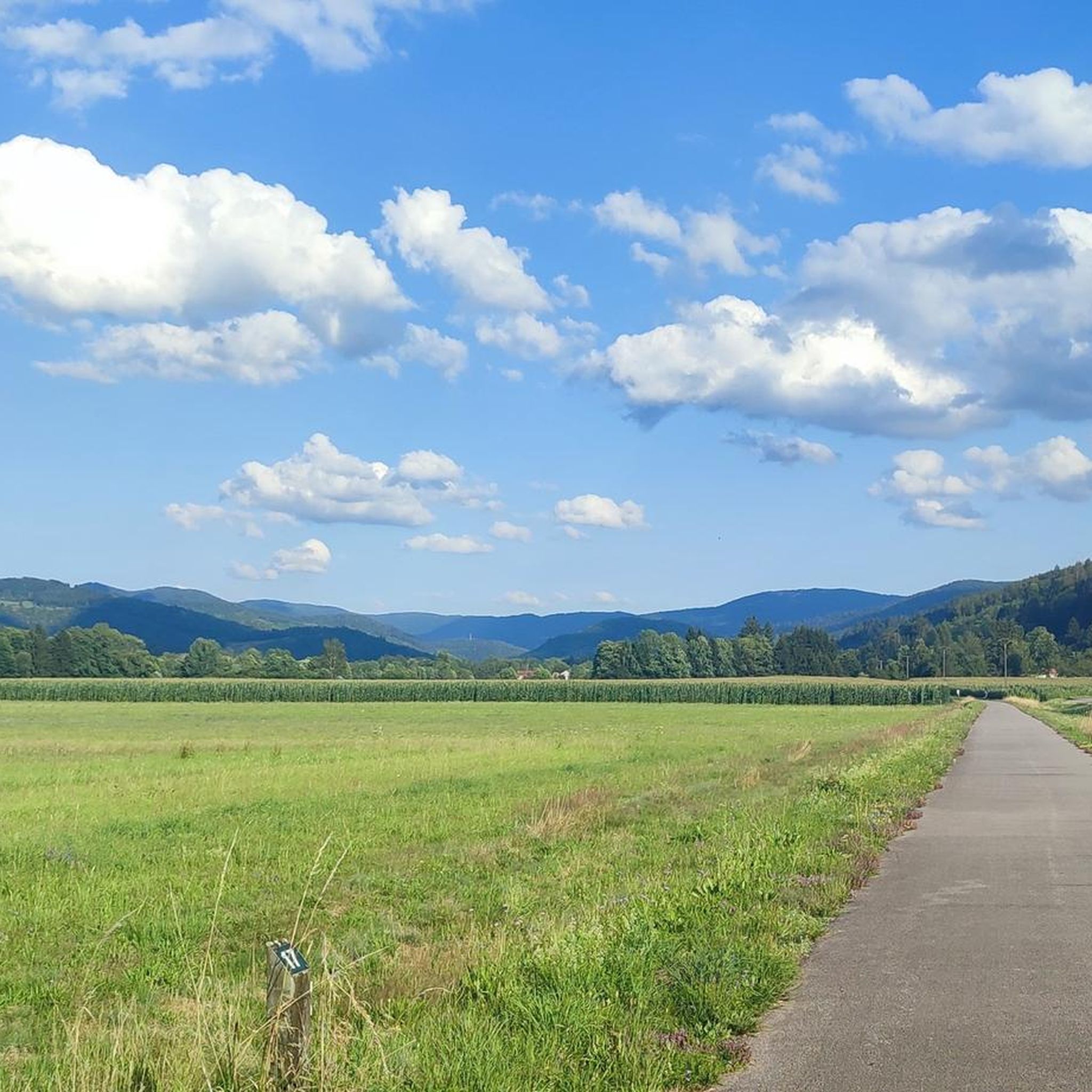
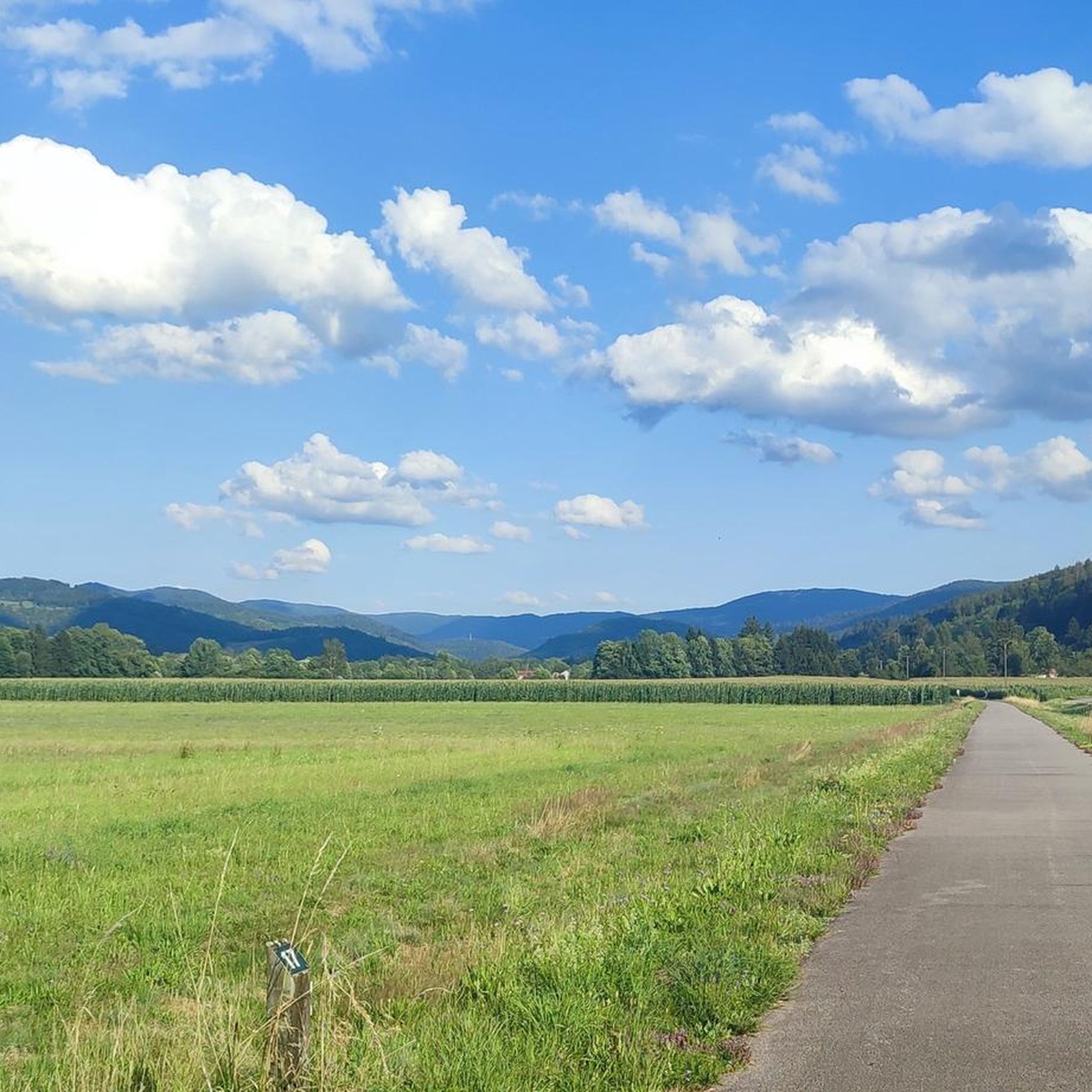
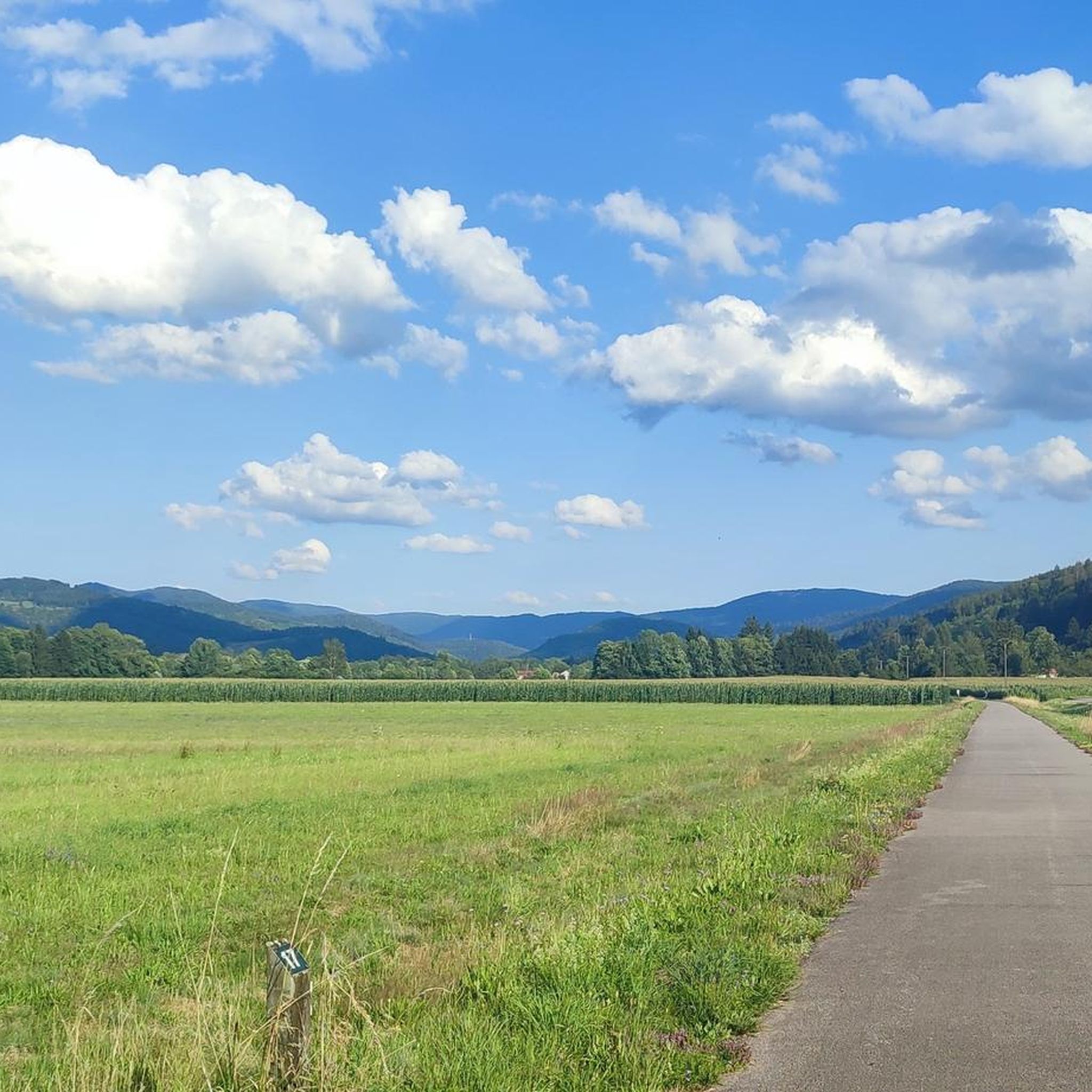
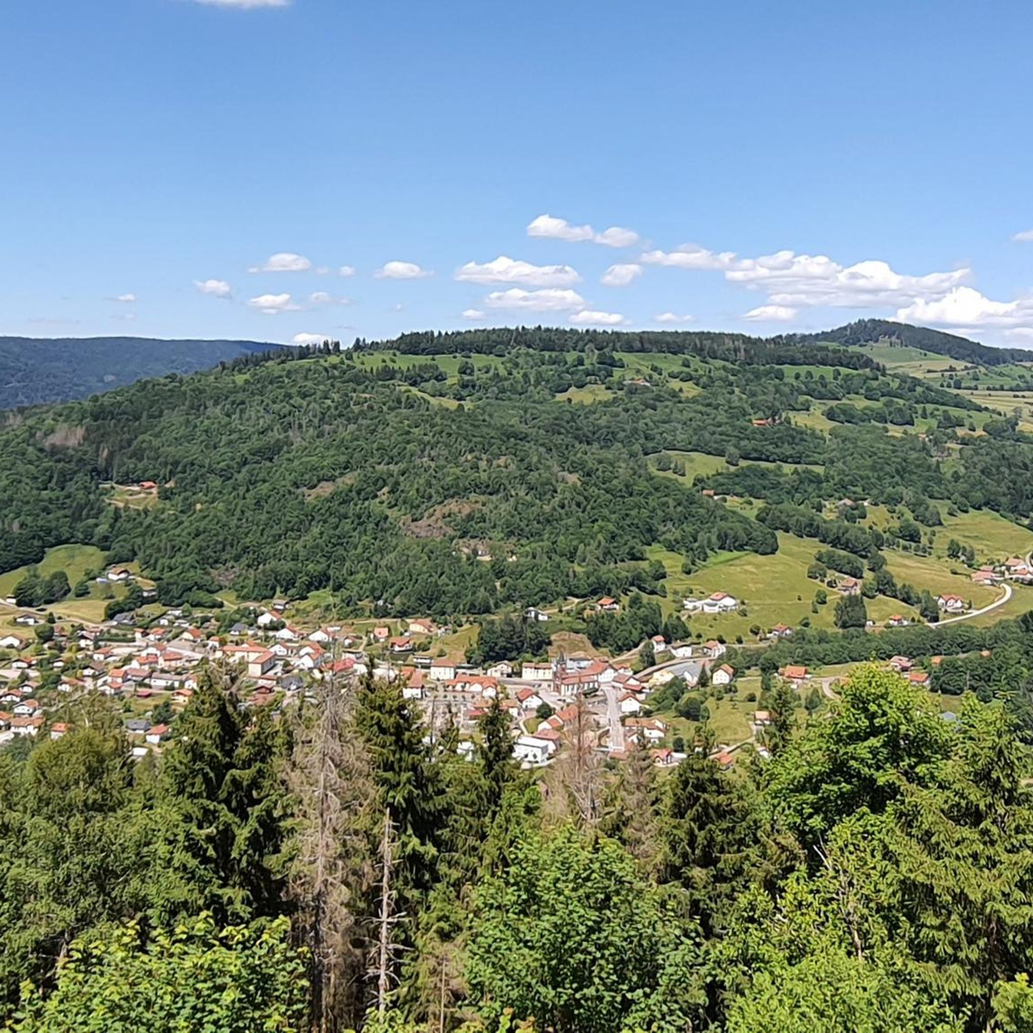
Hiking around Fresse-Sur-Moselle offers diverse landscapes within the Vosges Mountains in northeastern France. The region features significant natural elements, including the picturesque Moselle valley and elevations ranging from approximately 500 meters to 1190 meters. Nearly half of its territory is covered by communal forest, providing extensive woodland trails. Prominent peaks like the Haimant (1,070m) and Peut-Haut (1,094m), along with lakes such as Étang du Frac and Lac d'Alfeld, define the hiking terrain and natural features.
Best hiking trails around Fresse-Sur-Moselle
…Last updated: October 12, 2026
4.8
(19)
118
hikers
Hard hike. Very good fitness required. Mostly accessible paths. Sure-footedness required.
4.7
(15)
72
hikers
Easy hike. Great for any fitness level. Easily-accessible paths. Suitable for all skill levels.

3.8
(5)
31
hikers
4.83km
01:25
140m
140m
Easy hike. Great for any fitness level. Easily-accessible paths. Suitable for all skill levels.
4.6
(5)
25
hikers
7.59km
02:07
140m
140m
Moderate hike. Good fitness required. Easily-accessible paths. Suitable for all skill levels.
4.6
(8)
22
hikers
12.1km
03:35
360m
360m
Moderate hike. Good fitness required. Easily-accessible paths. Suitable for all skill levels.
Get access to more routes and recommendations from other explorers.
Already have an account?
Our route recommendations are based on thousands of hikes, rides, and runs completed by other people on komoot.
Start today with a free account
Your next adventure awaits.

Tips from the Community

Located at an altitude of 767m, the Chapelle des Vés de Fresse sur Moselle was built in 1863 by the farmers of the Fresse sur Moselle hill with materials from the old village church.
0
0

A fantastic view is guaranteed, the terrain is almost alpine.
3
0
Hiking from the balloon over the mountain ridge through the High Vosges promises wonderful solitude and panoramic views.
3
0

Very interesting to see what is true
3
0
Very beautiful nature in the area.
3
0


Magnificent panorama of the Vosges mountain range from the viewpoint on the Ballon d'Alsace.
4
0

It is a beautiful walk with an incline to the summit, which is worth it just for the view all the way to the Alps - if the weather plays along!
6
1
Frequently Asked Questions
How many hiking trails are available around Fresse-sur-Moselle?
There are over 50 hiking routes in the Fresse-sur-Moselle area, offering a wide range of options from easy strolls to more challenging mountain ascents. The region's diverse landscapes, including the Vosges Mountains and the Moselle valley, provide varied terrain for exploration.
Are there easy hiking trails suitable for families or beginners?
Yes, Fresse-sur-Moselle offers many easy trails. For instance, the Ves Chapel – Ravens' Peak loop from Communauté de communes des Ballons des Hautes-Vosges is an easy 4.1 km path that leads to the historic Chapelle des Vés, offering panoramic views. Another accessible option is the Mooi vergezicht – Frac Pond loop from Saint-Maurice-sur-Moselle, a 4.8 km trail through varied scenery.
What kind of terrain and elevation can I expect on hikes in Fresse-sur-Moselle?
The terrain around Fresse-sur-Moselle is diverse, ranging from approximately 500 meters to 1190 meters in altitude. You'll find trails through dense communal forests, along the picturesque Moselle valley, and up to prominent peaks like the Haimant (1,070m) and Peut-Haut (1,094m). Expect a mix of gentle slopes and more significant ascents, especially on routes leading to higher viewpoints.
Are there any challenging hikes for experienced hikers?
Yes, for experienced hikers seeking a challenge, the region provides routes with significant elevation gain. The Ballon d'Alsace – View of the Ballon d'Alsace loop from Saint-Maurice-sur-Moselle is a difficult 18.3 km trail with over 900 meters of elevation gain, offering expansive views towards the Ballon d'Alsace.
What natural features or landmarks can I see along the hiking trails?
Hikers can discover a variety of natural features and landmarks. These include beautiful lakes like Étang du Frac, Lac d'Alfeld, and the glacial Lac des Perches. You might also encounter impressive waterfalls such as the 9-meter high Cascade de Longeligoutte. Historic sites like the Chapelle des Vés and the Arboretum of Fresse-sur-Moselle are also accessible via trails, offering panoramic views and diverse tree species.
Are there any circular hiking routes in the area?
Yes, many trails in Fresse-sur-Moselle are designed as circular routes, allowing you to start and end at the same point. Examples include the Ves Chapel – Ravens' Peak loop and the Frac Pond – Mooi vergezicht loop from Fresse-sur-Moselle, which is an easy 7.1 km option.
Can I hike with my dog in Fresse-sur-Moselle?
Generally, the trails in the Vosges Mountains are dog-friendly, but it's always advisable to keep your dog on a leash, especially in forested areas or near wildlife. Be mindful of local regulations, particularly around nature reserves or private lands. Ensure your dog is well-behaved and that you carry waste bags.
What do other hikers enjoy most about hiking in Fresse-sur-Moselle?
The area is highly rated by the komoot community, with an average score of 4.7 stars from over 100 reviews. Reviewers often praise the quiet woodlands, the stunning panoramic views from various peaks and viewpoints, and the diverse range of trails catering to all skill levels, from serene forest walks to challenging mountain ascents.
Are there places to eat or stay overnight near the hiking trails?
While specific pubs directly on trails might be limited, the region has several refuges and farm inns. For example, the Neuweiher Refuge Inn and the Gresson Moyen Farm Inn offer opportunities for refreshments or overnight stays. The village of Fresse-sur-Moselle itself also provides amenities.
What is the best time of year to go hiking in Fresse-sur-Moselle?
The best time for hiking in Fresse-sur-Moselle is typically from spring to autumn (April to October) when the weather is mild and the trails are clear. Spring brings blooming flora, while autumn offers vibrant fall colors. Some higher-altitude trails might be affected by snow and ice during winter, but lower-elevation forest paths can still be enjoyable for winter hiking.
Are there any viewpoints offering scenic vistas?
Yes, Fresse-sur-Moselle is known for its breathtaking viewpoints. The Chapelle des Vés, for instance, offers remarkable panoramic views of the surrounding massifs and the Ballon d'Alsace. Many trails lead to vistas overlooking the Moselle valley, the Vosges ridges, and towards the Ballon de Servance and Ballon d'Alsace.
Is there public transport available to reach hiking trailheads?
While Fresse-sur-Moselle is accessible by road, public transport options directly to specific trailheads might be limited. It's advisable to check local bus schedules if you plan to rely on public transport. Many hikers prefer to drive and use designated parking areas near popular starting points.
Most popular routes around Fresse-Sur-Moselle
Most popular attractions around Fresse-Sur-Moselle

Get inspired with the komoot mobile app


Explore more
Browse the best Hikes in other regions.
