The best cycling routes around Munpetun
4.4
(672)
4,552
riders
144
rides
Touring cycling routes around Munpetun feature varied terrain, with options ranging from gentle paths to more challenging climbs. The area includes routes with significant elevation gains, indicating a landscape that transitions from lower elevations to higher ground. Some routes pass through areas with natural arches and offer viewpoints, suggesting a mix of geological features and scenic overlooks. The presence of rivers and bridges, such as over the Allan, indicates routes that may follow waterways or cross them.
Best touring cycling…
Last updated: November 7, 2026
9
riders
69.1km
04:09
390m
390m
Moderate bike ride. Good fitness required. Mostly paved surfaces.
5.0
(1)
8
riders
48.0km
03:05
510m
510m
Hard bike ride. Very good fitness required. Mostly paved surfaces.

7
riders
17.6km
01:10
150m
150m
Easy bike ride. Mostly paved surfaces.
6
riders
43.8km
02:41
340m
340m
Moderate bike ride. Good fitness required. Mostly paved surfaces.
4.0
(1)
1
riders
26.6km
01:46
390m
390m
Moderate bike ride. Good fitness required. Mostly paved surfaces.
Get access to more routes and recommendations from other explorers.
Already have an account?
Our route recommendations are based on thousands of hikes, rides, and runs completed by other people on komoot.
Start today with a free account
Your next adventure awaits.




Tips from the Community

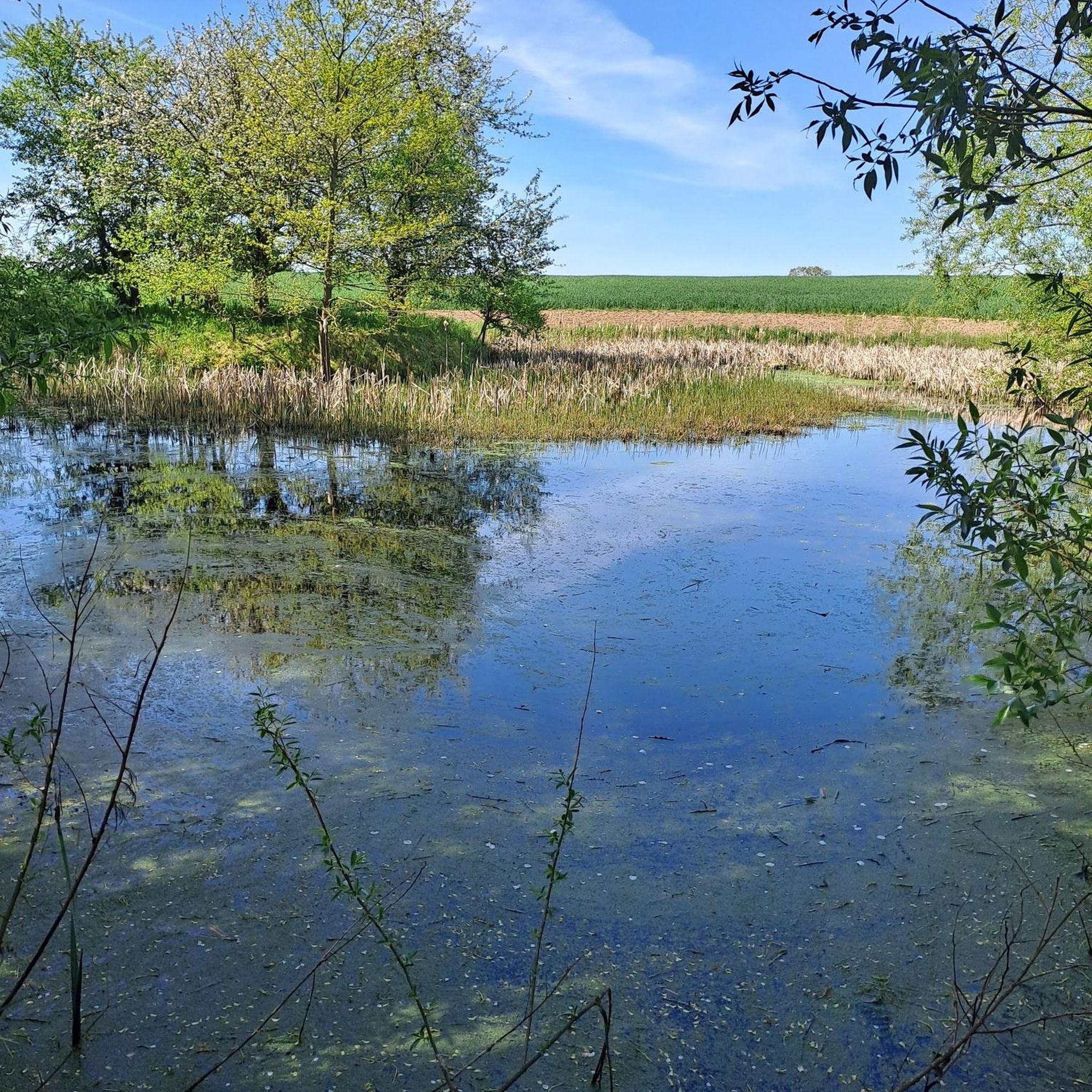
This large lake is a popular stop along the cycling routes around Belfort, with beautiful views over the water and the surrounding nature.
7
0

very beautiful route!!! drive slowly!! watch out for pedestrians
0
1

The Church of St. Christopher was designed by the engineer Philippe Mareschal and built from 1727 to replace the Saint-Denis Collegiate Church. It opened for worship in 1750. Its façade, in the classical style with superimposed Doric and Ionic colonnades, is decorated with a triangular pediment bearing the king's coat of arms and religious motifs. This ornamentation was partially altered after the siege of 1870-1871. The towers were built between 1784 and 1788 (north tower) and in 1845 (south tower). The large organ is the work of the postman J.-C. Valtrin and has been restored and modified several times, notably in 1971 by François and Joseph Calinet and Kurt Schwenkedel. It was declared a historic monument by decree of 28 January 1930, erected as a basilica in 1952, and became a cathedral in 1979 following the creation of the Diocese of Belfort-Montbéliard.
1
0

Beautiful sculpture and coat of arms of Belfort, below the fortress.
0
0

Very well maintained track, not like the greenway!
0
0

A "chemin de halage", in German "treidelpfad", which runs alongside the waterway right next to the bed of the river or canal, was an indispensable part of the transport infrastructure in earlier times. Before ships could move using motor power, horses ran along the bank and pulled the ship against the current. This was called "treideln", and this is how the "treidelpfads" got their name, which has been passed down to this day. Where these paths directly on the bank have been preserved, they are often used by hikers and cyclists.
0
1
The name of Saint-CHRISTOPHE, to whom this cathedral (bishop's church) in Belfort is dedicated, means "Christ-bearer". According to the legend of the saint, he was a gigantic man and carried people across a river. One day a small child called to him and he carried it on his shoulders to the other bank. Amazingly, the child became heavier and he said he felt as if the weight of the whole world was on his shoulders. Then the child revealed himself to him as Jesus Christ, Savior and Redeemer of the world.
1
0

I noticed this highlight during my search. However, it is not on the Haute Saône Canal but on an independent river, the Savoureuse. According to Wikipedia: The Savoureuse is a right tributary of the Allan, around 41 kilometers long, in the French department of Territoire de Belfort in the Bourgogne-Franche-Comté region. It flows through the city of Belfort and drains the western part of the department to the Mediterranean via the Allan, Doubs, Saône and Rhône water system. The Savoureuse catchment area covers an area of around 225 km². The river name comes from the Patois expression savour (saw). https://de.m.wikipedia.org/wiki/Savoureuse
2
0
Frequently Asked Questions
How many touring cycling routes are available around Munpetun?
There are over 160 touring cycling routes in the Munpetun area, offering a wide range of options for different skill levels and preferences.
What kind of terrain can I expect on touring cycling routes in Munpetun?
The terrain around Munpetun is quite varied, featuring options from gentle paths to more challenging climbs. You'll encounter routes with significant elevation gains, suggesting a landscape that transitions from lower elevations to higher ground. Some routes follow waterways like the Allan River, while others lead through local villages and past historical features.
What are the difficulty levels of touring cycling routes in Munpetun?
Munpetun offers a good mix of difficulty levels. There are 45 easy routes, 57 moderate routes, and 63 difficult routes, ensuring options for cyclists of all abilities, from leisurely rides to strenuous climbs.
Are there any circular touring cycling routes in Munpetun?
Yes, many touring cycling routes in Munpetun are designed as loops, allowing you to start and finish at the same point. For example, the challenging Pont Sarrazin Natural Arch – Viewpoint of Vandoncourt loop from Badevel is a popular circular option, as is the easier Town hall in Dampierre – Fountain of the Sirens loop from Dasle.
What natural features can I see along the touring cycling routes in Munpetun?
Cyclists can discover several interesting natural features. You might encounter the Pont Sarrazin Natural Arch, explore the Milandre Caves, or visit the Doue Spring. Other notable natural monuments include the Fontaine de Roches and the Dinosaur Tracks of Pommerat.
Are there any interesting landmarks or points of interest to explore while cycling in Munpetun?
Beyond natural beauty, the region offers several points of interest. You can cycle alongside the Montbéliard–Haute-Saône Canal beside the Allan, pass by the Étupes Lock on the EV6, or visit the Parc du Près-la-Rose. Routes also lead through local villages with historical features.
Where can I find scenic viewpoints on the touring cycling routes?
Several routes offer excellent scenic viewpoints. The Pont Sarrazin Natural Arch – Viewpoint of Vandoncourt loop from Badevel specifically highlights a viewpoint. Additionally, the View of Bourogne – EV6 and bridge over the Allan loop from Badevel provides scenic vistas, and the Mont Renaud Observation Tower is a dedicated viewpoint highlight.
What do other touring cyclists enjoy the most about touring cycling in Munpetun?
The area is highly rated by the komoot community, with an average score of 4.5 stars from over 400 reviews. Reviewers often praise the varied terrain, the mix of natural features like arches and rivers, and the options available for different ability levels.
Are there any routes that follow major cycling paths like the EV6?
Yes, some routes in Munpetun incorporate sections of the EuroVelo 6 (EV6) cycling path. For instance, the View of Bourogne – EV6 and bridge over the Allan loop from Badevel and the Mouth of the Allan – EV6 and bridge over the Allan loop from Badevel both pass by or utilize the EV6, often near the Allan River.
What is a good moderate touring cycling route to try in Munpetun?
A great moderate option is the Abbévillers – Devil's footsteps loop from Badevel. This route covers about 26.6 miles (42.8 km) with an elevation gain of around 1,270 feet (387 m), making it a good choice for cyclists looking for a balanced challenge.
Most popular attractions around Munpetun

Get inspired with the komoot mobile app


Explore more
Browse the best Cycling routes in other regions.
