The best walks and hikes around Gouttières
4.2
(381)
1,634
hikers
68
hikes
Hiking around Gouttières offers diverse landscapes within the Combrailles region of Auvergne-Rhône-Alpes, France. The terrain is characterized by the Sioule River, which forms valleys, wild gorges, and dense forest paths. The area features an average elevation of 660 meters, providing views of the Chaîne des Puys and the Monts Dore. Approximately 30% of the region is covered by woodlands, contributing to its rural environment.
Best hiking trails around Gouttières
- The most popular hiking route is Cascade de la Tine –…
Last updated: November 8, 2026
4.3
(9)
39
hikers
11.3km
03:04
160m
160m
Moderate hike. Good fitness required. Easily walkable paths.
4.6
(5)
16
hikers
Moderate hike. Good fitness required. Easily walkable paths.

4.8
(6)
16
hikers
12.0km
03:16
190m
190m
Moderate hike. Good fitness required. Easily walkable paths.
4.6
(5)
12
hikers
Moderate hike. Good fitness required. Easily walkable paths.
3.8
(5)
10
hikers
Easy hike. Easily walkable paths.
Get access to more routes and recommendations from other explorers.
Already have an account?
Our route recommendations are based on thousands of hikes, rides, and runs completed by other people on komoot.
Start today with a free account
Your next adventure awaits.
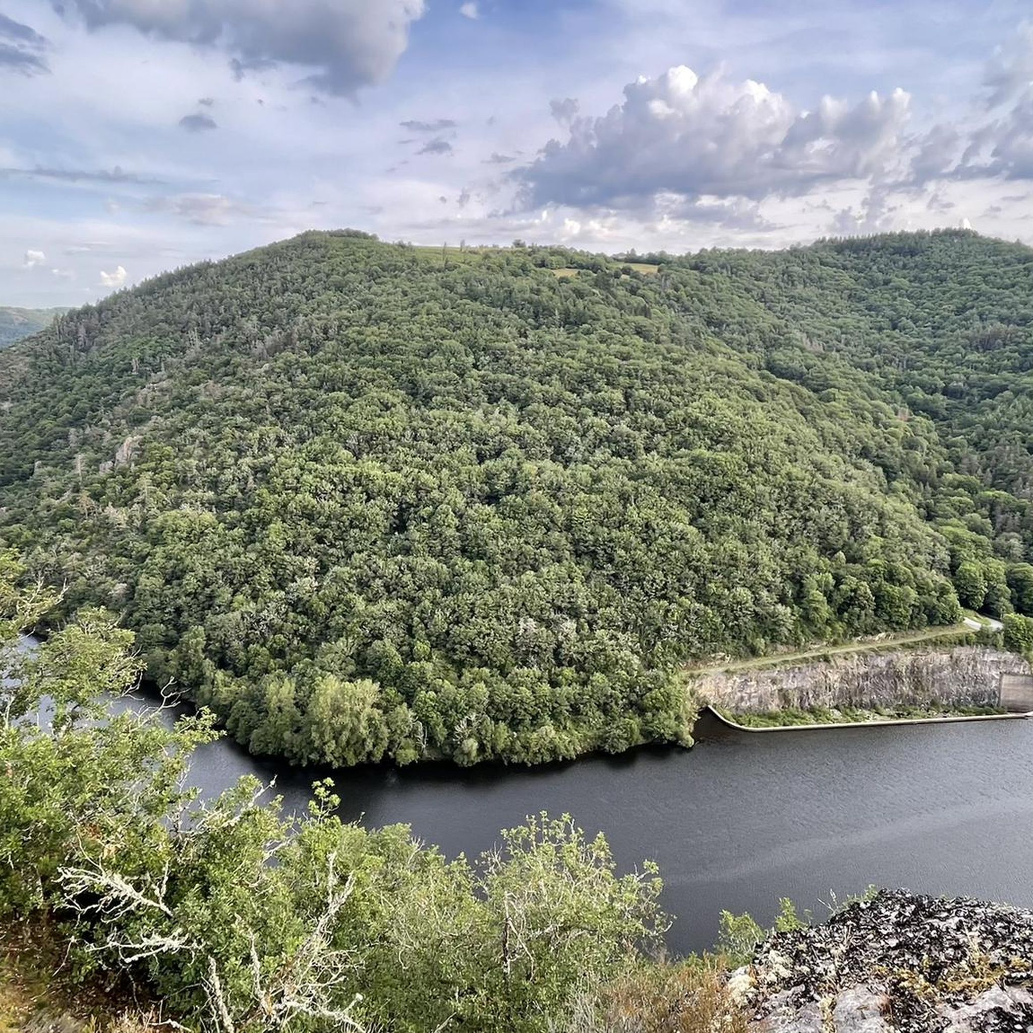
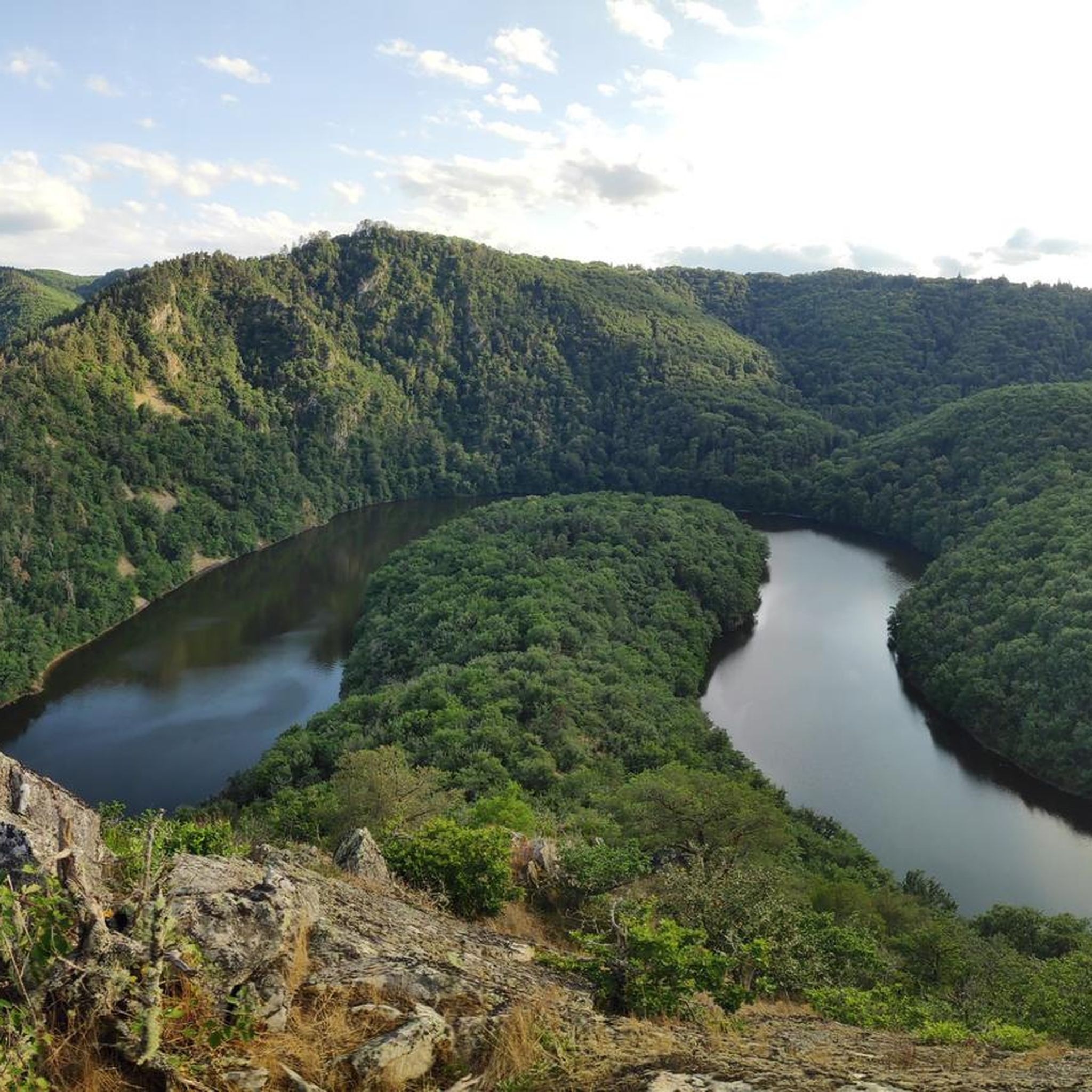
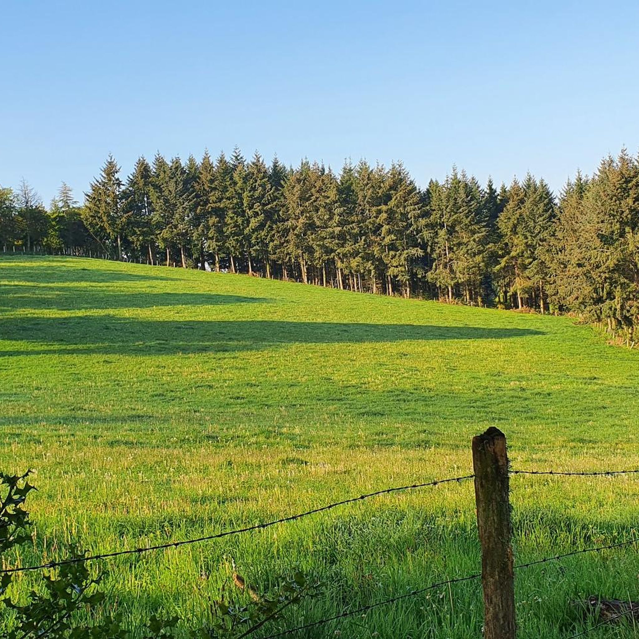

Tips from the Community

Trees and branches on the path, moderately passable, but not unfeasible
0
0


The route on my map is wrong at the beginning; the Komoot GPS was lost. The route is direct via a wide path from Etubeix.
0
0
Park at the place called Etubeix in the commune of Saint Julien la Geneste 63.
0
0

Source in the village of Saint-Julien-la-Geneste 🇲🇫
0
0
Frequently Asked Questions
How many hiking trails are available around Gouttières?
There are over 60 hiking routes available around Gouttières, catering to various skill levels. You'll find a good mix of easy, moderate, and some more challenging trails to explore.
What kind of terrain can I expect on hikes in Gouttières?
The terrain around Gouttières is diverse, shaped by the Sioule River, which creates picturesque valleys, wild gorges, and dense forest paths. You can expect a rural environment with significant woodland coverage, and many trails offer panoramic views of the distant Chaîne des Puys and the Monts Dore.
Are there any easy, family-friendly hikes in Gouttières?
Yes, Gouttières offers several easy, family-friendly options. For instance, the Cascade de la Tine – Bridge crossing the river loop from Saint-Priest-des-Champs is an easy 3.0-mile (4.9 km) trail that takes about 1 hour 27 minutes to complete, featuring a cascade and a river crossing.
Can I find circular hiking routes in Gouttières?
Many of the trails around Gouttières are designed as circular routes, allowing you to start and end at the same point. For example, the View of Puy de Dôme – Beautiful view loop from Saint-Gervais-d'Auvergne is a moderate 7.0-mile (11.3 km) loop offering scenic vistas.
Are there any waterfalls to see on the trails?
Yes, the region features beautiful waterfalls. The Cascade de la Tine is a notable natural feature, and you can experience it on routes like the Cascade de la Tine – The cascade loop from Jouhet.
Where can I find panoramic views of the landscape?
For stunning panoramic views, consider hiking to the Queuille Viewpoint, which offers a spectacular perspective of the Sioule River's tranquil meander. The View of Puy de Dôme – Through the forest loop from Gouttières also provides excellent views of the distant volcanic peaks.
Are dogs allowed on the hiking trails in Gouttières?
Generally, dogs are welcome on trails in the Gouttières region, especially in rural and forested areas. However, it's always advisable to keep them on a leash, particularly near livestock or in nature reserves, and to check local signage for any specific restrictions.
What are some interesting landmarks or attractions near the hiking routes?
Beyond the natural beauty, you can explore several landmarks. The Château-Rocher is a historical site, and the Viaduc des Fades is an impressive bridge. An easy walk from Gouttières leads to the Chapelle de Montagard, offering excellent viewpoints over the surrounding landscape.
What do other hikers enjoy most about hiking in Gouttières?
The komoot community highly rates the hiking experience in Gouttières, with an average score of 4.4 stars from over 300 reviews. Hikers often praise the diverse landscapes, the tranquility of the Sioule River valleys, and the rewarding views of the Chaîne des Puys and Monts Dore.
What is the best time of year to hike in Gouttières?
The spring and autumn months are generally ideal for hiking in Gouttières, offering pleasant temperatures and vibrant scenery. Spring brings blooming wildflowers, while autumn showcases beautiful foliage. Summer can also be enjoyable, but it's best to start earlier in the day to avoid the midday heat.
Are there options for longer, more challenging hikes?
While Gouttières has many easy and moderate trails, there are also options for longer excursions. The region offers a variety of circuits that can be combined or extended for a more demanding experience, especially those venturing into the higher elevations or deeper into the gorges.
Is there parking available at the trailheads?
Many trailheads in the Gouttières area, especially those starting from villages like Saint-Gervais-d'Auvergne or Saint-Priest-des-Champs, typically have designated parking areas. It's common for rural hiking spots in France to offer convenient parking for visitors.
Most popular attractions around Gouttières

Get inspired with the komoot mobile app


Explore more
Browse the best Hikes in other regions.
