The best cycling routes around Coise-Saint-Jean-Pied-Gauthier
4.6
(287)
4,847
riders
137
rides
Touring cycling routes around Coise-Saint-Jean-Pied-Gauthier traverse a diverse landscape in the Savoie department, characterized by a blend of agricultural lands, forests, and significant waterways. The region features the Chéran and Isère rivers, alongside Lake Carouge, providing varied scenic backdrops. A mountainous setting is present, with the Col du Frêne offering challenging climbs and views, complemented by the proximity to the Bauges Natural Park. This terrain offers options ranging from flat riverside paths to routes with considerable elevation gain.
Best touring…
Last updated: July 28, 2026
4.5
(2)
73
riders
39.7km
02:38
440m
430m
Moderate bike ride. Good fitness required. Mostly paved surfaces. Suitable for all skill levels.
72
riders
Hard bike ride. Very good fitness required. Mostly paved surfaces. Suitable for all skill levels.

Sign up for free
5.0
(3)
61
riders
17.5km
01:03
40m
40m
Easy bike ride. Great for any fitness level. Mostly paved surfaces. Suitable for all skill levels.
5.0
(3)
54
riders
19.2km
01:40
700m
700m
Hard bike ride. Very good fitness required. Mostly paved surfaces. Suitable for all skill levels.
5.0
(1)
50
riders
Hard bike ride. Very good fitness required. Mostly paved surfaces. Suitable for all skill levels.
Get access to more routes and recommendations from other explorers.
Sign up for free
Already have an account?
Our route recommendations are based on thousands of hikes, rides, and runs completed by other people on komoot.
Start today with a free account
Your next adventure awaits.
Login or Signup
Popular around Coise-Saint-Jean-Pied-Gauthier
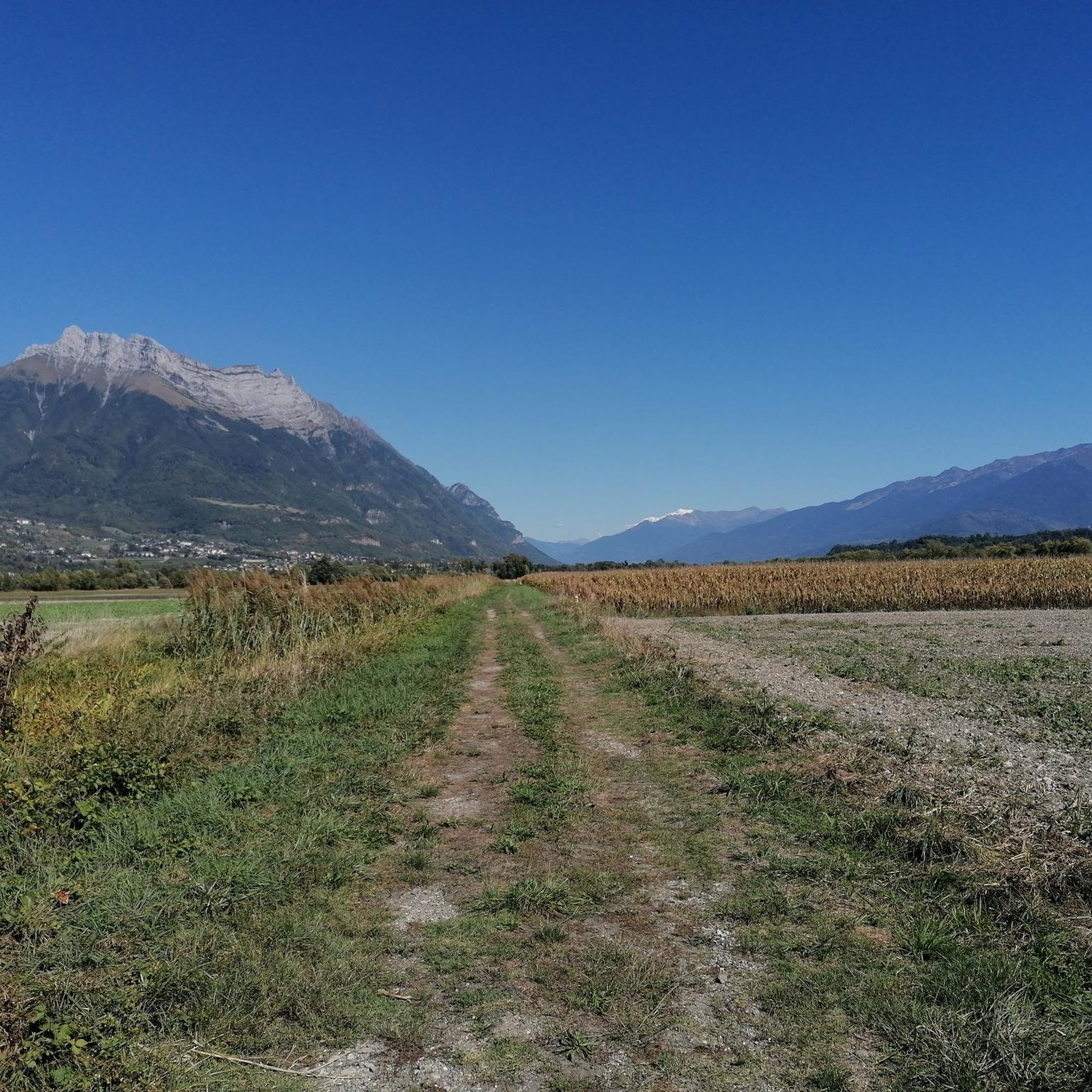
Road Cycling Routes around Coise-Saint-Jean-Pied-Gauthier
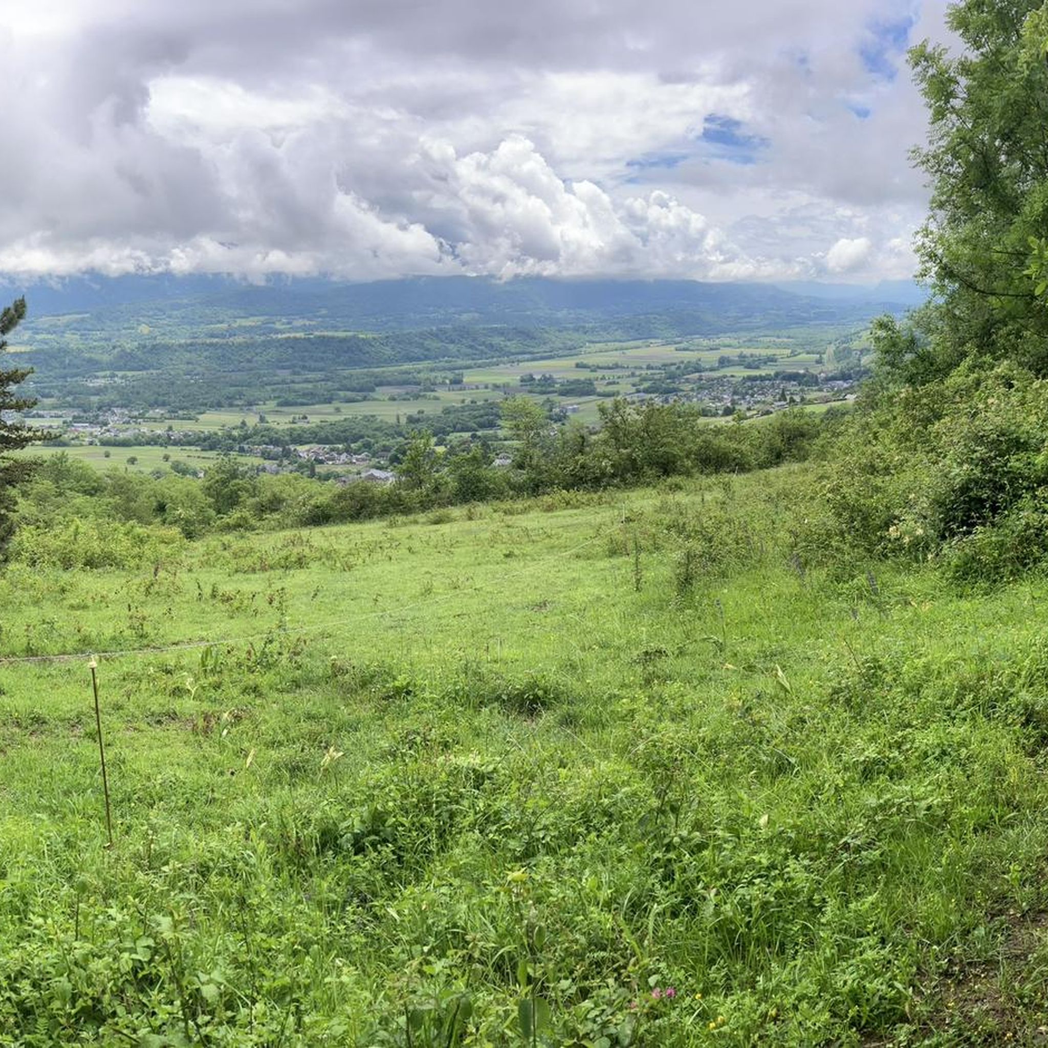
Hiking around Coise-Saint-Jean-Pied-Gauthier
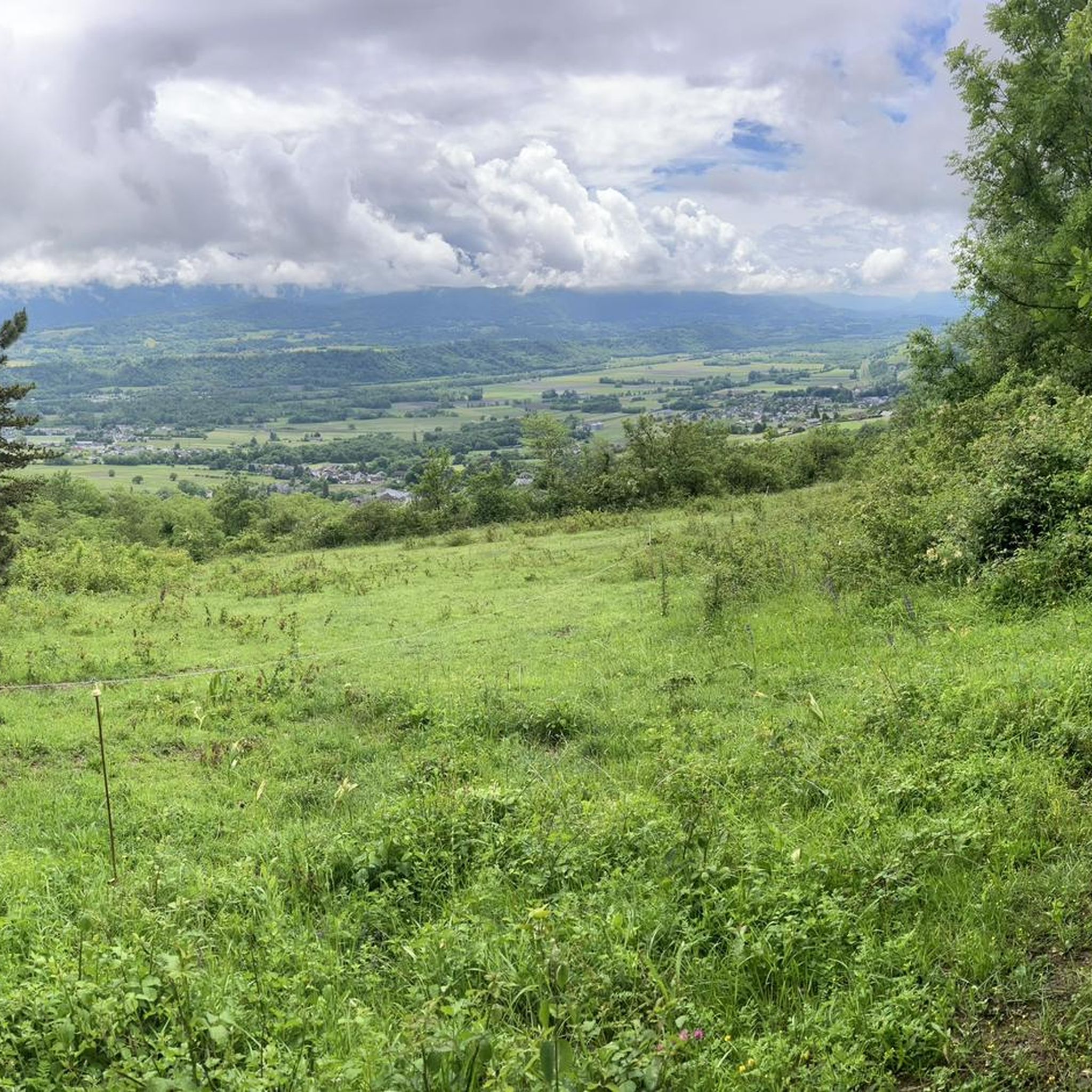
MTB Trails around Coise-Saint-Jean-Pied-Gauthier

Gravel biking around Coise-Saint-Jean-Pied-Gauthier
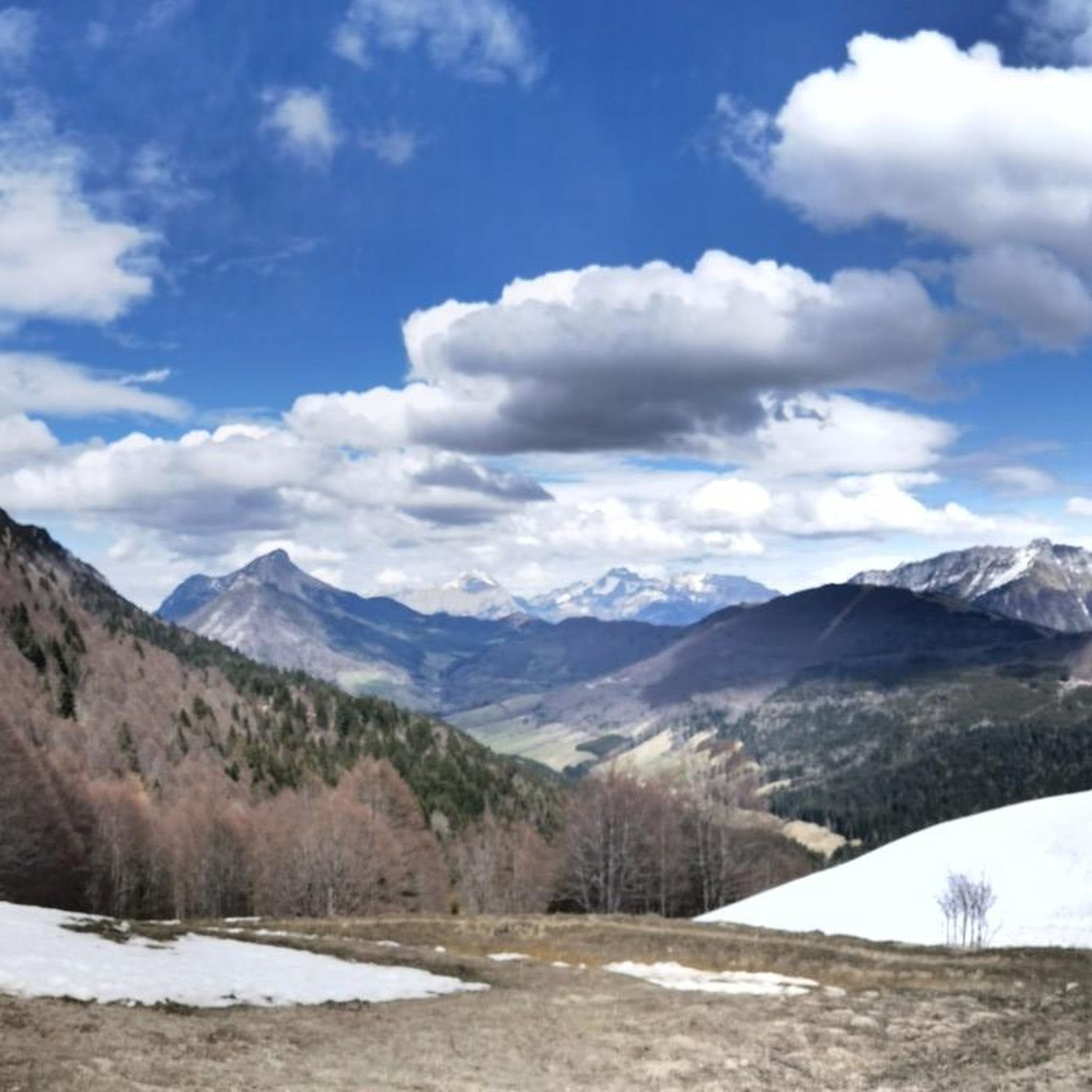
Running Trails around Coise-Saint-Jean-Pied-Gauthier
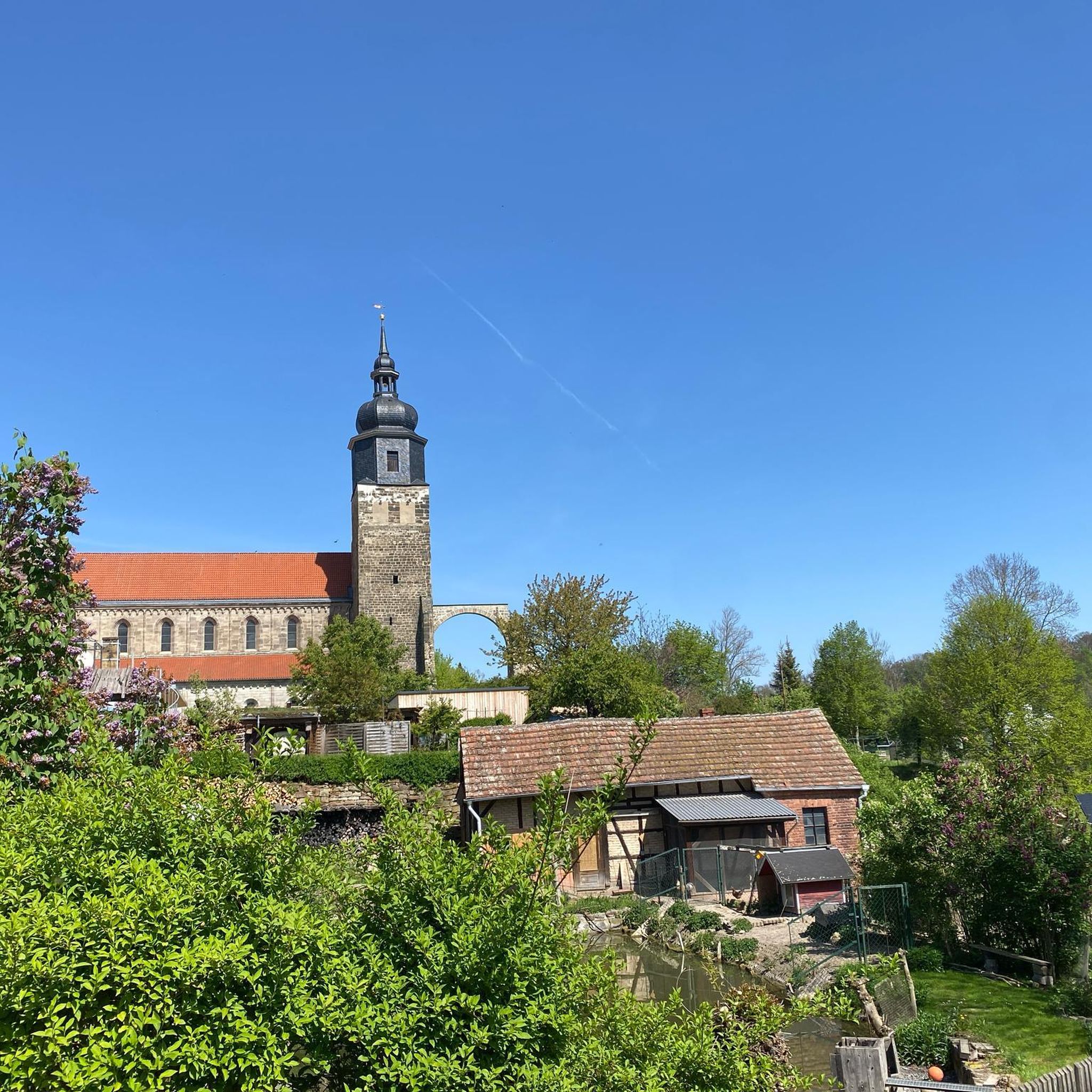
Mountain Hikes around Coise-Saint-Jean-Pied-Gauthier
Tips from the Community

Ideally located along the Bella Via about fifteen kilometers from Albertville, cyclists can stop to refill their bottles and cool off. Other activities such as fishing or tennis are also practiced here. Surrounding massifs: Bauges to the north, Belledonne and Vanoise to the south
0
0

The place is clean and pleasant. There's room for everyone: fishermen, walkers, swimmers, cyclists...
0
0
The place is nice and clean. Ideal for fishing and plenty of room for swimming. A greenway runs alongside the pond...
0
0

Quiet little road to begin the ascent of the Col du Frêne. Very beautiful view.
0
0


Beautiful pass. The climb is a bit gentler from the north. The descent to the south offers beautiful views of the Isère Valley.
0
0
Beautiful quiet street with a view of the Chateau
0
0

Nice opportunity to take a refreshment after the climb - before the descent - unless you want to continue on to the pass
1
0
Frequently Asked Questions
How many touring cycling routes are available in Coise-Saint-Jean-Pied-Gauthier?
There are over 140 touring cycling routes around Coise-Saint-Jean-Pied-Gauthier, offering a wide variety of options for different skill levels and preferences. These include 19 easy routes, 45 moderate routes, and 79 difficult routes.
What kind of terrain can I expect on touring cycling routes in this region?
The terrain around Coise-Saint-Jean-Pied-Gauthier is quite diverse. You'll find everything from flat, relaxed paths along the Isère River and around Lake Carouge to challenging mountain ascents, such as those leading to the Col du Frêne. The region features a mix of agricultural lands, forests, and a mountainous backdrop, with many routes on paved surfaces.
Are there easy touring cycling routes suitable for beginners or families?
Yes, there are several easy touring cycling routes perfect for beginners or families. A great option is the Lake Carouge – Étang de Grésy loop from Châteauneuf, which is 17.5 km long with minimal elevation gain, offering a pleasant ride around Lake Carouge.
Where can I find challenging touring cycling routes in the area?
For those seeking a challenge, the region offers routes with significant elevation gain, often incorporating mountain passes. The Col du Frêne (950 m) – The Little Café loop from Saint-Pierre-d'Albigny is a difficult 19.2 km route with over 660 meters of ascent, providing a demanding ride and rewarding views.
Are there any scenic viewpoints or natural features to look out for along the routes?
Absolutely! The region is rich in natural beauty. You can enjoy views of the Arclusaz mountains from vineyards, or the picturesque Lake Carouge. The area also features the Chéran and Isère rivers. For stunning panoramic views, consider routes that pass by View of Lake Saint-André and the Belledonne Range.
Can I incorporate historical landmarks into my cycling tours?
Yes, you can. Some routes offer views of historic sites, adding a cultural dimension to your ride. For example, the View of Château de Miolans – Col du Frêne (950 m) loop from Saint-Pierre-d'Albigny allows you to cycle with views of the impressive Château de Miolans.
What do other touring cyclists enjoy the most about touring cycling in Coise-Saint-Jean-Pied-Gauthier?
The area is highly rated by the komoot community, with an average score of 4.6 stars from over 270 reviews. Cyclists often praise the diverse landscapes, from serene lake loops to challenging mountain passes, and the well-maintained routes that cater to various fitness levels. The blend of natural beauty and charming villages is also frequently highlighted.
Are there any circular touring cycling routes available?
Many of the touring cycling routes in Coise-Saint-Jean-Pied-Gauthier are designed as loops, allowing you to start and end at the same point. Examples include the Tour st pierre a gresy – Lake Carouge loop from Cruet and the Arclusaz from the vineyards – Lake Carouge loop from Saint-Pierre-d'Albigny.
What are some notable mountain passes in the region for cyclists?
The region is known for several mountain passes that offer challenging climbs and spectacular views. The most prominent for touring cyclists is the Col du Frêne (950 m). Other passes in the vicinity include the Marocaz Pass and the Col du Grand Cucheron.
Are there any lakes or waterways that can be explored by bike?
Yes, the area is characterized by its beautiful waterways. Lake Carouge is a central feature, with several routes circling it. You can also find routes along the Isère River, offering flat and relaxed rides. Other nearby lakes include Lake Saint-André and Étang de Grésy, which are popular spots.
What is the best time of year for touring cycling in Coise-Saint-Jean-Pied-Gauthier?
The best time for touring cycling in Coise-Saint-Jean-Pied-Gauthier is generally from spring through autumn. During these seasons, the weather is typically mild and pleasant, making for ideal cycling conditions. Summer offers warm temperatures, while spring and autumn provide beautiful scenery with blooming flowers or vibrant fall foliage.
Most popular routes around Coise-Saint-Jean-Pied-Gauthier
Most popular attractions around Coise-Saint-Jean-Pied-Gauthier

Get inspired with the komoot mobile app


Explore more
Browse the best Cycling routes in other regions.
