The best road cycling routes around Charmois
4.5
(164)
4,451
riders
336
rides
Road cycling routes around Charmois traverse a landscape characterized by river valleys and agricultural plains, offering varied terrain for cyclists. The region features a network of roads that connect small towns and historical sites, often following waterways. Elevation changes are generally gentle, with some routes incorporating gradual ascents and descents through rolling countryside. This area provides a mix of flat sections ideal for speed and longer, undulating paths for endurance.
Best road cycling routes around Charmois
- The most popular road cycling route is Allenjoie lock intersection – Château Peugeot loop from Morvillars, a 69.1 miles (111.1 km) trail that takes 4 hours 41 minutes to complete. This route features a moderate elevation gain of 2,409 feet (734 meters) and passes by notable landmarks.
- Another top favourite among local road cyclists is Belvedere de meslieres – Lomont Maquis Memorial loop from Morvillars, a difficult 48.3 miles (77.8 km) path. This route includes significant climbs, with an elevation gain of 4,544 feet (1,385 meters), offering challenging terrain and expansive views.
- Local road cyclists also love the Saint-Maurice Church, Buix – Memorial to the fallen 🕊️ loop from Morvillars, a 36.2 miles (58.2 km) trail leading through varied terrain, often completed in about 2 hours 24 minutes.
- Road cycling around Charmois is defined by river-side paths, rolling agricultural land, and connecting routes between villages. The network offers options for different ability levels, from easy rides to more challenging routes with significant elevation.
- The routes in Charmois are highly rated by the komoot community with an average score of 4.5 stars from more than 160 reviews. More than 4000 road cyclists have used komoot to explore Charmois's varied terrain.
Last updated: May 17, 2026
4.6
(10)
79
riders
Easy road ride. Great for any fitness level. Mostly well-paved surfaces and easy to ride.
51
riders
79.8km
03:51
1,060m
1,060m
Hard road ride. Very good fitness required. Mostly well-paved surfaces and easy to ride.

Sign up for free
5.0
(1)
30
riders
55.4km
02:22
350m
350m
Moderate road ride. Good fitness required. Mostly well-paved surfaces and easy to ride.
27
riders
111km
04:37
650m
650m
Moderate road ride. Good fitness required. Some segments of this route may be unpaved and difficult to ride.
5.0
(1)
26
riders
Easy road ride. Great for any fitness level. Mostly well-paved surfaces and easy to ride.
Get access to more routes and recommendations from other explorers.
Sign up for free
Already have an account?
Our route recommendations are based on thousands of hikes, rides, and runs completed by other people on komoot.
Start today with a free account
Your next adventure awaits.
Login or Signup


Tips from the Community

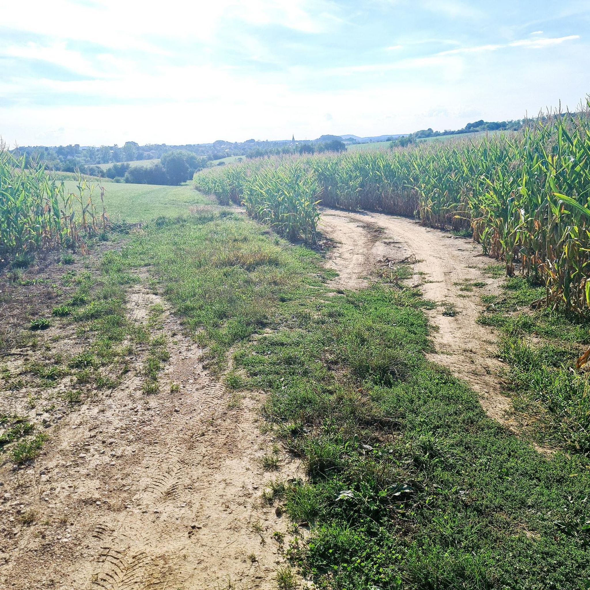
Although the cycle path doesn't lead directly through nature, but more or less along the main road, it is nevertheless very well developed!
0
0
Here too, the cycle path leads right through beautiful nature, is actually superbly developed, currently (early 2026) still through a construction site at the very beginning, a bit bumpy but still great, without motor traffic!
0
0
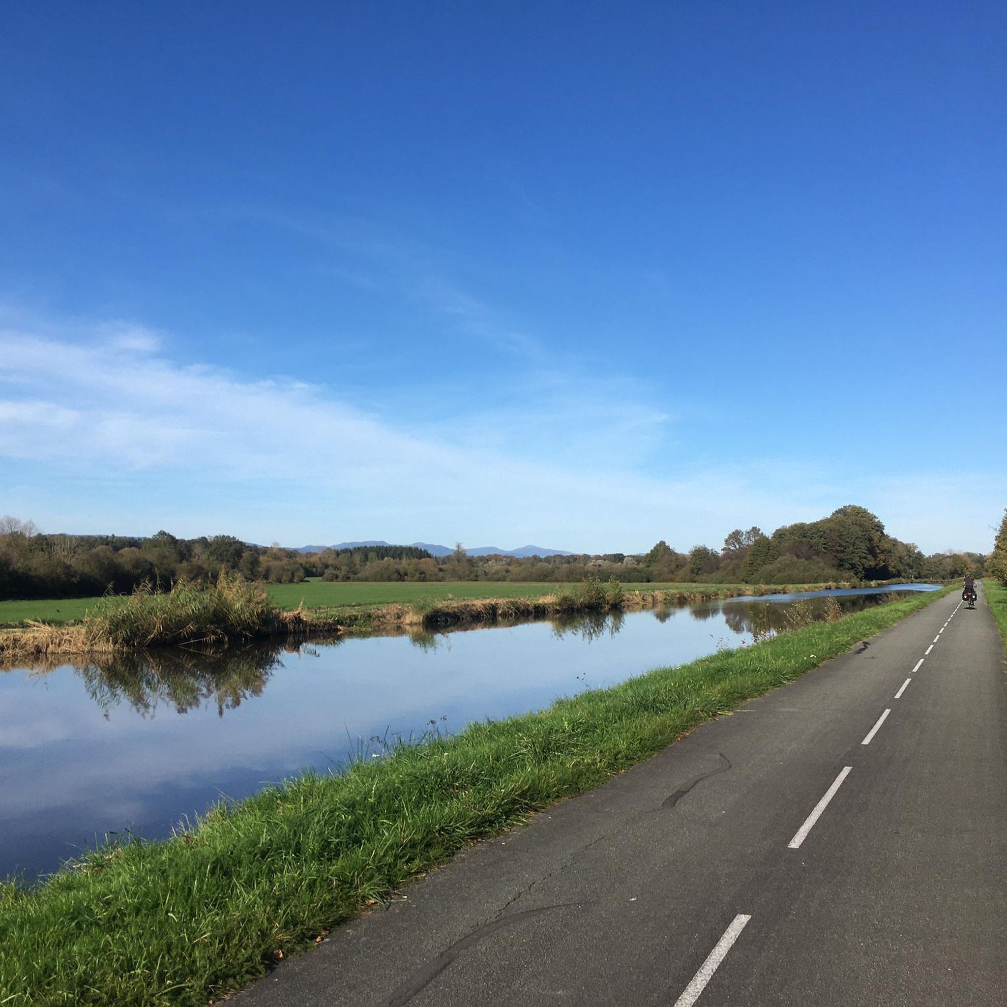
As is often the case in France, the well-developed cycle path here leads right through beautiful countryside – completely separated from motorized traffic. That's how it should be done!
0
0

There are also toilets and a water point
0
0

This former customs house contains a repair station with tools, a room with a table, and toilets, making it ideal for fetching water and picnicking, even in the rain.
0
0

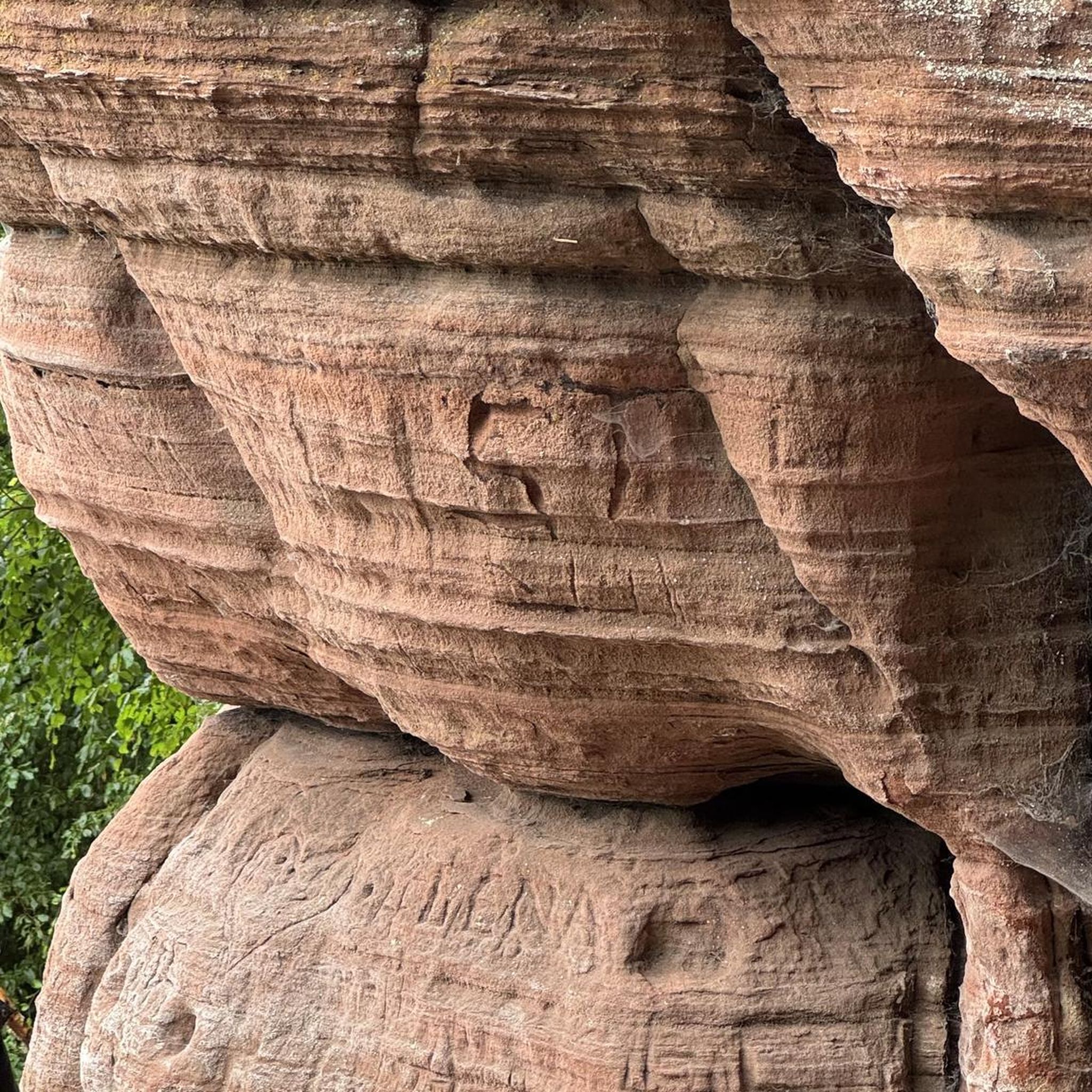
impressive Vauban work , free access except for the museum
0
0


Frequently Asked Questions
What kind of terrain can I expect on road cycling routes around Charmois?
Road cycling routes in the Charmois region offer a diverse landscape, characterized by river valleys and agricultural plains. You'll find a mix of flat sections ideal for speed, and longer, undulating paths through rolling countryside. While elevation changes are generally gentle, some routes incorporate gradual ascents and descents. The area is known for connecting small towns and historical sites, often following waterways.
How many road cycling routes are available in the Charmois area?
There are over 330 road cycling routes available around Charmois, catering to various skill levels. This includes 76 easy routes, 197 moderate routes, and 60 difficult routes, ensuring options for every cyclist.
Are there any challenging road cycling routes for experienced riders?
Yes, for experienced riders seeking a challenge, the Charmois area offers routes with significant climbs. A notable difficult route is the Belvedere de meslieres – Lomont Maquis Memorial loop from Morvillars, which covers 48.3 miles (77.8 km) and features an elevation gain of 4,544 feet (1,385 meters), providing expansive views and demanding terrain.
What are some of the landmarks or points of interest I can see while cycling around Charmois?
The road cycling routes around Charmois often pass by historical sites and natural features. You can explore various castles and historical sites, such as the Citadel of Belfort, Fort de Vézelois, and the Miotte Tower. Additionally, routes often follow waterways like the Montbéliard–Haute-Saône Canal beside the Allan and the Canal du Rhône au Rhin, offering scenic views.
What do other road cyclists enjoy most about the routes in Charmois?
The road cycling routes in Charmois are highly rated by the komoot community, with an average score of 4.5 stars from over 160 reviews. Cyclists frequently praise the varied terrain, which includes river-side paths and rolling agricultural land, as well as the well-connected routes between villages. Many appreciate the options available for different ability levels.
Are there any moderate-difficulty routes that are popular among local cyclists?
Yes, a popular moderate route is the Allenjoie lock intersection – Château Peugeot loop from Morvillars. This 69.1-mile (111.1 km) trail takes approximately 4 hours and 41 minutes to complete, featuring a moderate elevation gain of 2,409 feet (734 meters) and passing by notable landmarks.
Can I find family-friendly road cycling routes in Charmois?
While the guide data for Charmois focuses on general road cycling, the region's characteristics, with its gentle elevation changes and paths connecting villages, suggest that many of the 76 easy routes would be suitable for families. The car-free village of Chamois, nearby, also offers dedicated cycle paths like the one connecting Chamois to La Magdeleine, which is ideal for family rides.
What is the best time of year for road biking in Charmois?
The region's climate, with its river valleys and agricultural plains, generally makes spring through autumn ideal for road cycling. These seasons offer pleasant temperatures and lush scenery. While specific seasonal data for Charmois isn't provided, the nearby car-free village of Chamois is highlighted as a great destination for outdoor enthusiasts, suggesting good conditions during warmer months.
Are there any circular road cycling routes in the Charmois area?
Yes, many of the routes in Charmois are designed as loops, offering circular journeys. For example, the Saint-Maurice Church, Buix – Memorial to the fallen 🕊️ loop from Morvillars is a 36.2-mile (58.2 km) circular trail that leads through varied terrain, typically completed in about 2 hours and 24 minutes.
Are there any easy road cycling routes for beginners or those looking for a relaxed ride?
Absolutely. The Charmois area offers 76 easy routes perfect for beginners or those seeking a more relaxed pace. An example is the Allenjoie lock intersection – Étupes Lock on the EV6 loop from Belfort-Montbéliard TGV, which covers approximately 30 miles (48.5 km) with minimal elevation gain, making it a comfortable ride.
Is there public transport access to the road cycling trails in Charmois?
While specific public transport details for Charmois are not provided in the guide data, the region's focus on connecting routes between villages suggests that some starting points may be accessible via local transport. For instance, routes like the Allenjoie lock intersection – Étupes Lock on the EV6 loop from Belfort-Montbéliard TGV start near larger transport hubs, which might offer better connectivity.
Are there opportunities to see unique natural features or landscapes while road cycling?
Yes, the broader region, including the nearby Aosta Valley where Chamois is located, is known for breathtaking mountain scenery, panoramic views of peaks like the Matterhorn and Monte Rosa, and serene alpine lakes. While Charmois itself features river valleys and agricultural plains, the surrounding area offers stunning natural beauty. You can also find highlights like the Étupes Lock on the EV6 along some routes.
Most popular attractions around Charmois

Get inspired with the komoot mobile app


Explore more
Browse the best Road cycling routes in other regions.
