The best MTB trails around Kestenholz
4.4
(1520)
4,843
riders
352
rides
Mountain bike trails around Kestenholz traverse a diverse landscape in the canton of Solothurn, Switzerland. The region is characterized by significant forested areas, agricultural lands, and varied elevations ranging from approximately 428 to 521 meters. This topography provides a network of trails that wind through wooded singletracks, open paths across fields, and scenic routes near the Dünnern River and the nearby Regional Nature Park Thal.
Best mountain bike trails around Kestenholz
- The most popular mountain bike trail is Dolmen de…
Last updated: October 30, 2026
3.8
(13)
21
riders
19.3km
01:39
240m
240m
Moderate mountain bike ride. Advanced riding skills necessary.
4.4
(15)
25
riders
24.0km
01:41
230m
230m
Hard mountain bike ride. Advanced riding skills necessary. Some portions of the route may require you to push your bike.

4.7
(3)
13
riders
34.8km
02:43
380m
380m
Hard mountain bike ride. Good fitness required. Advanced riding skills necessary. Some portions of the route may require you to push your bike.
4.3
(7)
12
riders
29.9km
02:37
470m
480m
Hard mountain bike ride. Good fitness required. Advanced riding skills necessary. Some portions of the route may require you to push your bike.
4.5
(4)
13
riders
45.4km
03:37
590m
590m
Moderate mountain bike ride. Good fitness required. Advanced riding skills necessary.
Get access to more routes and recommendations from other explorers.
Already have an account?
Our route recommendations are based on thousands of hikes, rides, and runs completed by other people on komoot.
Start today with a free account
Your next adventure awaits.

Tips from the Community

From the dam, you can enjoy a wide view over the reservoir. The striking reddish-brown banks contrast beautifully with the water and the wooded hills of the Vosges in the background.
7
0
The Bassin de Champagney (or Champagney Reservoir) is an impressive artificial reservoir with a surface area of 107 hectares, located in the French department of Haute-Saône (Bourgogne-Franche-Comté region). The reservoir is situated in the southern foothills of the Vosges and was built between 1882 and 1905 to supply water to the never fully completed Canal de la Haute-Saône. Today, the lake has a capacity of 13 million m³ and is a popular destination for nature lovers, hikers, and fishermen.
7
0

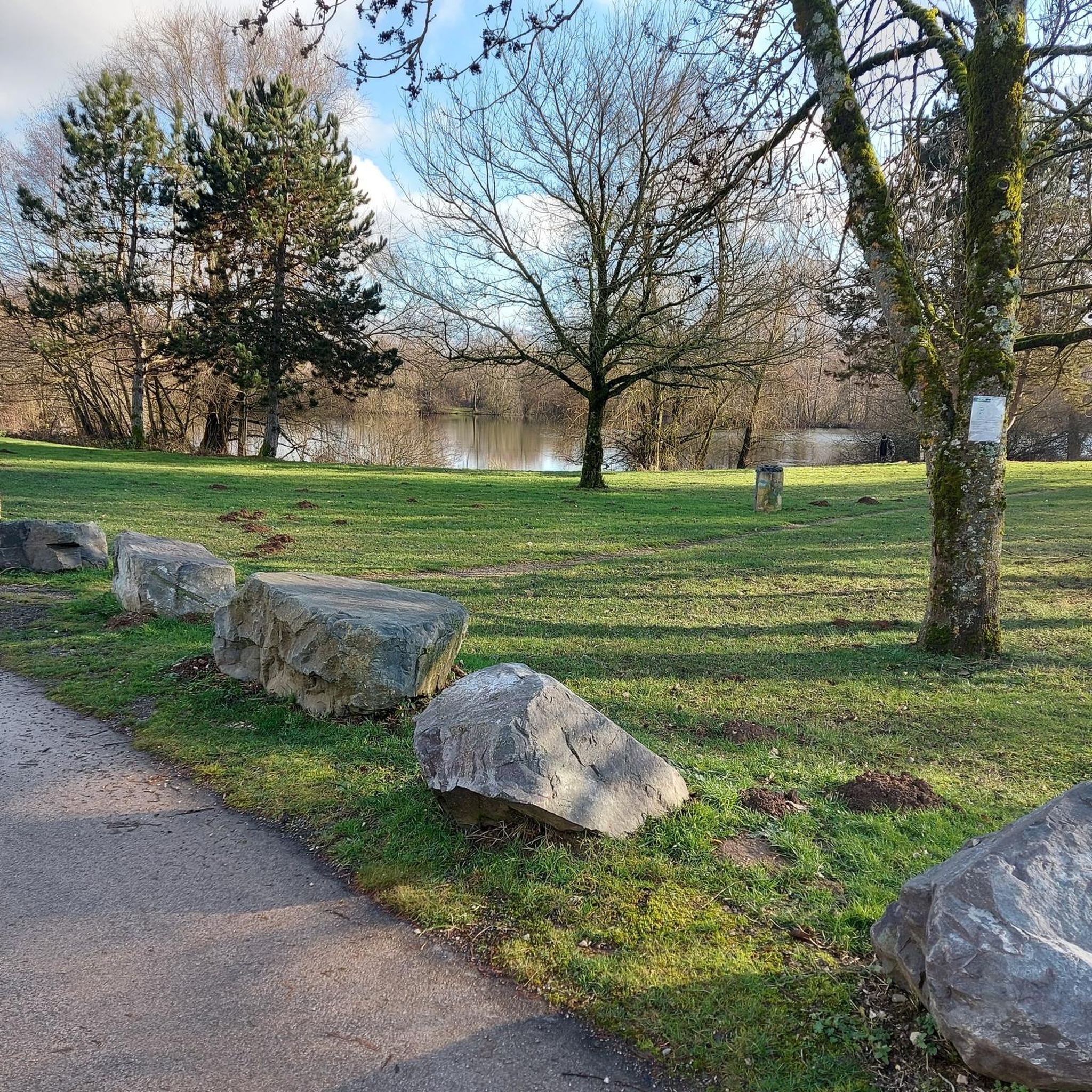
beautiful place, but path poorly maintained and barely visible between the mine shafts
0
0

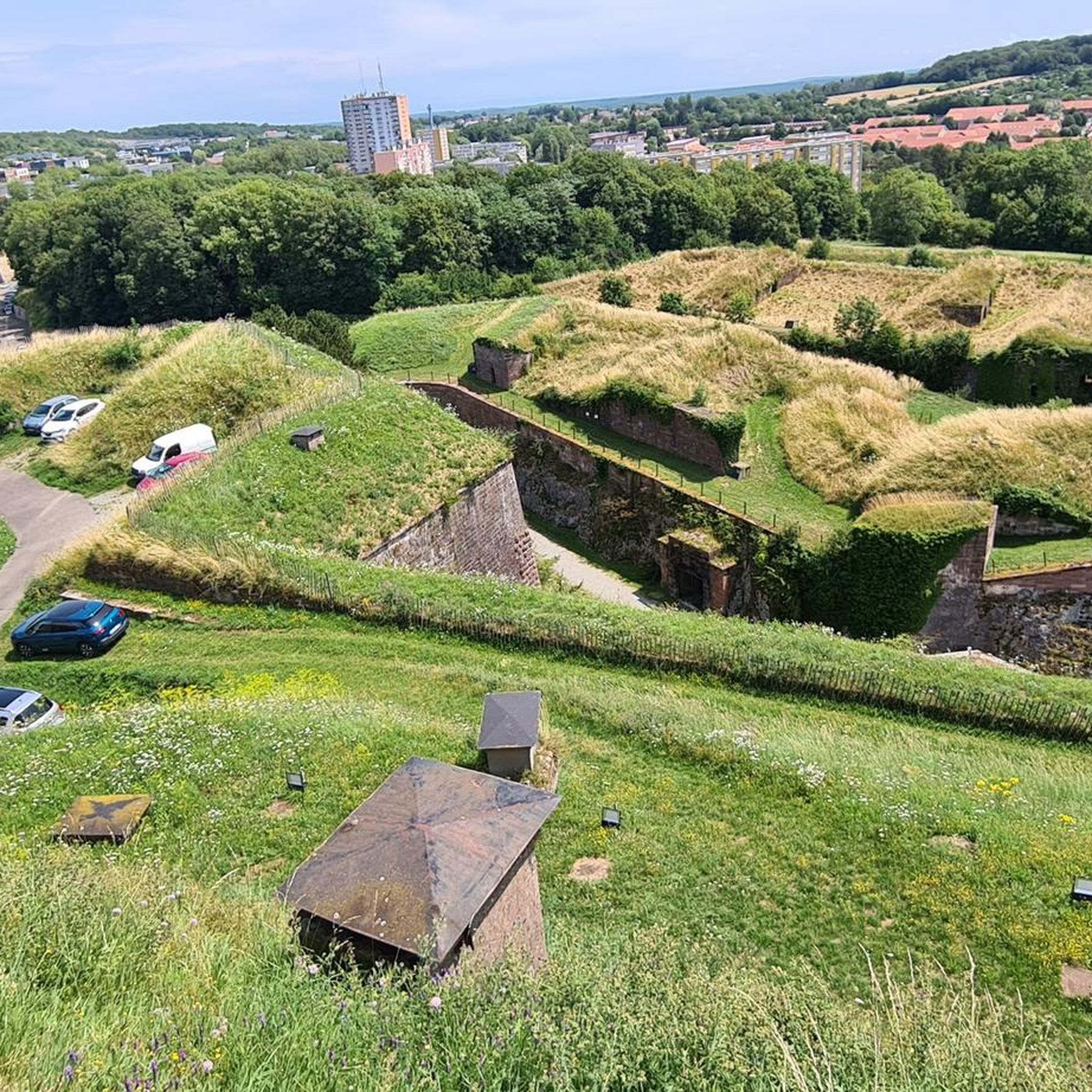
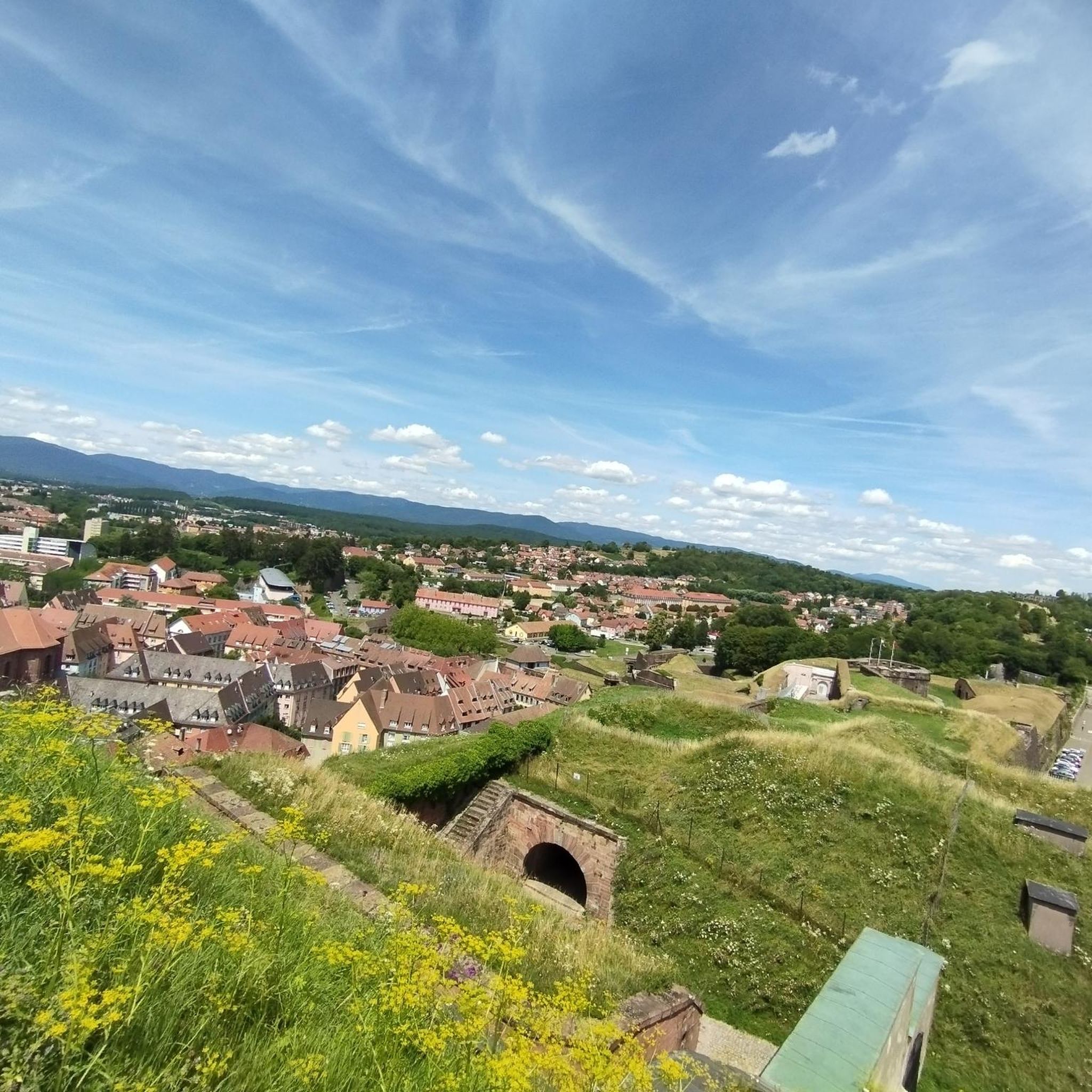
This historic city is dominated by the Fort du Mont Vaudois, an impressive 19th-century military structure. You can discover the remains of its 12th-century feudal castle, where a tower stands, classified as a Historic Monument since 1913.
0
0

A varied trip along the Canal de Montbéliard à la Haut Saône
0
0

Well done for sharing this knowledge and thank you for taking the time to share it with us.
0
0

This obviously interested me in my search for a good tour and that's why I looked here as I had no idea what dolmens were: https://www.lieux-insolites.fr/hsaone/brevilliers/brevilliers.htm The Brévilliers dolmen This dolmen was excavated between 1976 and 1984 by Messrs Petrequin and Pinigre. It is part of a group of 18 megaliths located on the limestone plateau of the Haute-Saône, north of the Jura Arc. These monuments are the survivors of what is certainly a much larger whole. Archival documents refer to a second dolmen in Brévilliers. But this one has unfortunately disappeared. ………….
1
0

Héricourt Castle, dating from the 12th century, is classified as a Historic Monument. It hosts exhibitions and events that highlight local heritage.
0
0
Frequently Asked Questions
How many mountain bike trails are available in Kestenholz?
There are over 370 mountain bike trails around Kestenholz, offering a wide range of options for all skill levels. You'll find a diverse network of routes, from easy paths to challenging climbs and descents.
What kind of terrain can I expect on mountain bike trails in Kestenholz?
Kestenholz offers a diverse landscape for mountain biking, characterized by significant forested areas and agricultural lands. You can expect a mix of wooded singletracks, open paths through fields, and varied elevations ranging from approximately 428 to 521 meters, providing a satisfying blend of ascents and descents.
Are there mountain bike trails suitable for beginners or families in Kestenholz?
Yes, Kestenholz has 48 easy mountain bike trails that are suitable for beginners and families. These routes typically feature less challenging terrain and gentler gradients, allowing for a more relaxed riding experience through the scenic landscape.
Are there any challenging mountain bike trails for experienced riders?
Absolutely. For experienced riders seeking a challenge, Kestenholz offers 182 difficult mountain bike trails. Routes like the Mine Shaft – Dolmen de Brevilliers loop from Nommay, a 34.8 km path, feature demanding climbs and descents through varied terrain. Another option is the Salbert Viewpoint – Enduro Descent loop from Sevenans, which includes an exciting enduro descent.
What do other mountain bikers enjoy most about Kestenholz?
The mountain bike trails in Kestenholz are highly rated by the komoot community, with an average score of 4.4 stars from over 1200 reviews. Riders often praise the diverse terrain, the engaging mix of technical singletracks and open paths, and the scenic beauty of the forested areas and agricultural lands.
Are there any scenic viewpoints or natural features to see along the trails?
Yes, the region around Kestenholz is rich in natural beauty and offers several scenic viewpoints. The Dolmen de Brevilliers – Panoramic view loop from Trévenans, for instance, is known for its expansive panoramic views. The trails also wind through extensive forests and agricultural lands, and near the Dünnern River, providing picturesque scenery.
Are there any historical landmarks or attractions accessible by mountain bike?
Yes, you can incorporate historical landmarks into your mountain biking adventures. For example, the Notre-Dame du Chêne Chapel – Mont Vaudois Fort loop from Dorans takes you past the Mont Vaudois Fort. Other notable historical sites in the wider area include the Citadel of Belfort and Fort de Vézelois.
Are there mountain bike trails that are loop routes?
Many of the mountain bike trails around Kestenholz are designed as loops, offering convenient starting and ending points. Examples include the Dolmen de Brevilliers – Panoramic view loop from Trévenans and the Panoramic view – Dolmen de Brevilliers loop from Bethoncourt.
What is the best time of year for mountain biking in Kestenholz?
The diverse landscape of Kestenholz makes it suitable for mountain biking through much of the year. Spring and autumn generally offer pleasant temperatures and vibrant scenery. While specific seasonal closures are not common, it's always advisable to check local weather conditions, especially during winter or after heavy rainfall, as some trails might become muddy or slippery.
Are there any mountain bike trails near the Regional Nature Park Thal?
Yes, the Regional Nature Park Thal is located just 5.8 km from Kestenholz. This proximity means that many mountain bike routes in the area integrate with or are near the park's protected natural landscapes, offering picturesque scenery and varied terrain within a short distance.
Can I find trails that follow river valleys in Kestenholz?
Kestenholz is situated on the southern edge of the Dünnern River, and the nearby Aare River is also an attraction. While not explicitly detailed for biking, river valleys often provide flatter, scenic routes or serve as access points to more challenging climbs in surrounding areas, offering opportunities for waterside trails and scenic views.
Most popular routes around Kestenholz
Most popular attractions around Kestenholz

Get inspired with the komoot mobile app


Explore more
Browse the best MTB trails in other regions.
