The best MTB trails around Faux-La-Montagne
4.5
(221)
1,443
riders
59
rides
Mountain bike trails around Faux-La-Montagne are situated within the Plateau de Millevaches Regional Natural Park, offering a diverse "mid-mountain" environment. The region is characterized by a blend of forests, streams, and the expansive Lake Vassivière, providing varied terrain for mountain biking. Elevations range from 525 to 826 meters, contributing to a dynamic landscape. This area features an extensive network of trails suitable for exploring its natural beauty.
Best mountain bike trails around Faux-La-Montagne
- The most popular mountain bike trail is…
Last updated: July 28, 2026
5.0
(3)
9
riders
12.1km
01:04
110m
110m
Easy mountain bike ride. Great for any fitness level. Suitable for all skill levels.
5.0
(2)
10
riders
22.6km
01:53
360m
360m
Moderate mountain bike ride. Good fitness required. Advanced riding skills necessary.

Sign up for free
5.0
(2)
9
riders
19.4km
01:25
230m
230m
Easy mountain bike ride. Great for any fitness level. Suitable for all skill levels.
4.0
(1)
7
riders
32.6km
02:53
590m
580m
Moderate mountain bike ride. Good fitness required. Advanced riding skills necessary.
5.0
(1)
9
riders
20.7km
01:45
220m
220m
Easy mountain bike ride. Great for any fitness level. Suitable for all skill levels.
Get access to more routes and recommendations from other explorers.
Sign up for free
Already have an account?
Our route recommendations are based on thousands of hikes, rides, and runs completed by other people on komoot.
Start today with a free account
Your next adventure awaits.
Login or Signup

Tips from the Community


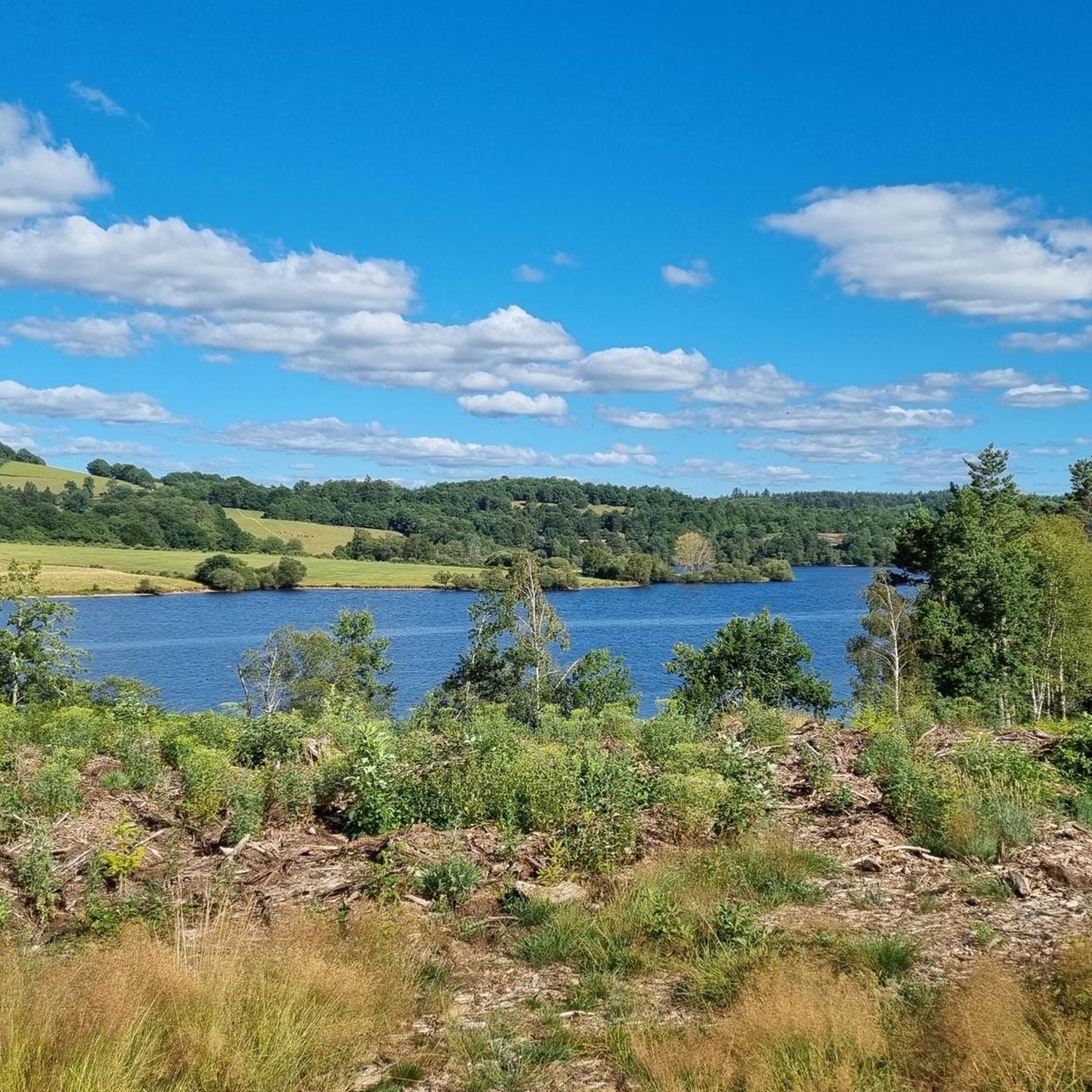
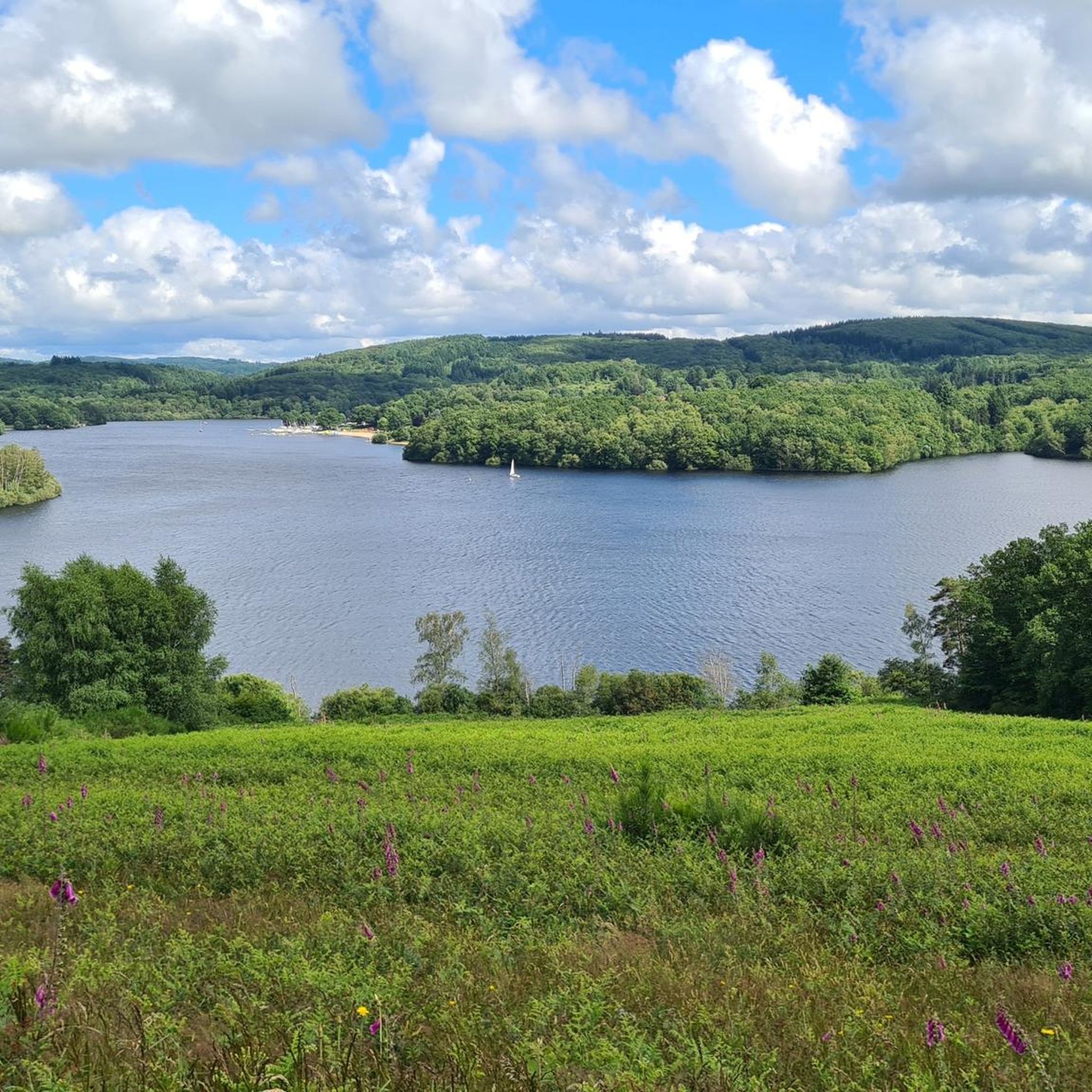
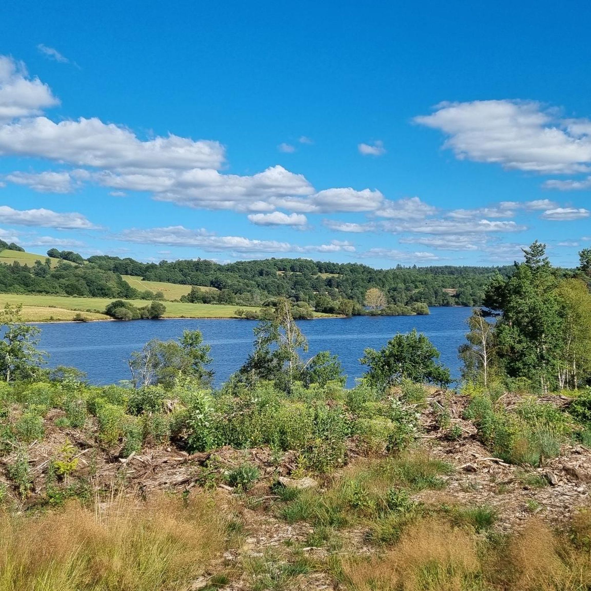
The tour of the Chassagnas peninsula allows you to discover the magnificent landscapes of Lake Vassivière. You explore the pasture on the peninsula as well as the small island of Vauveix.
2
0

The Lac de Vassivière [vasivjɛʁ] (Occitan Vaciviéra) is one of the largest artificial lakes in France with an area of about 10 km². It is located on the Plateau de Millevaches in the departments of Creuse and Haute-Vienne. It is the largest body of water in the Limousin region of France and is used for water supply, hydroelectric power and recreation. It was built between 1947 and 1950 by Électricité de France.
1
1

The Vassivière Lake Tour, near Châteaucourt, is a scenic and peaceful route. The loop around the lake offers stunning views of the water, surrounded by forests and hills. As you cycle along the well-maintained roads, you will discover beautiful natural scenery, making it a perfect mix of relaxation and exercise.
0
0

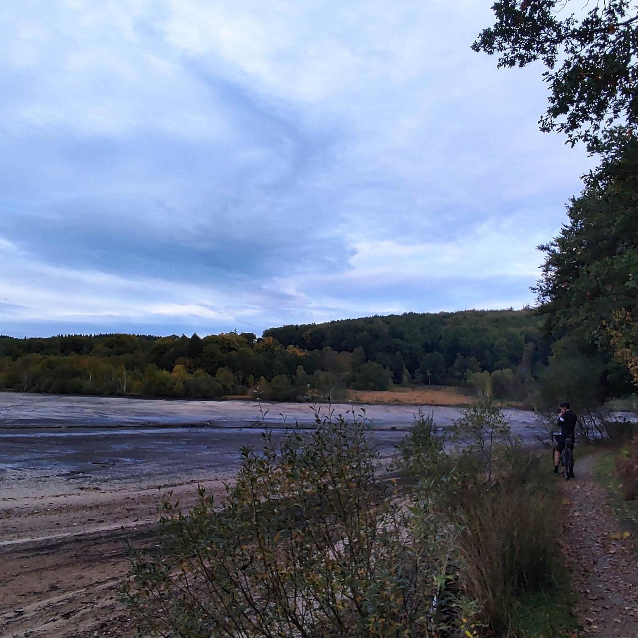
During a mountain bike ride in the middle of the Limousin hills, it is pleasant to stop on the banks of this imposing dam lake to admire its calm waters.
0
0

after 90km on the Tour de la Creuse a swim in the lake in the evening at the campsite is a plus
0
0

Superb site, one of the largest artificial lakes in France
0
0

Artificial lake of 45 hectares created on Dorat. Its specificity is its multiple-arch dam, very original and rare (2 examples in Europe). Night carp fishing site. source: https://www.tourisme-creuse.com/
0
0
Frequently Asked Questions
How many mountain bike trails are available around Faux-La-Montagne?
The Faux-La-Montagne area, situated within the Plateau de Millevaches Regional Natural Park, offers an extensive network of mountain bike trails. Komoot features nearly 60 routes, ranging from easy to difficult, providing diverse options for riders. The wider Plateau de Millevaches boasts the FFVélo Haute-Corrèze mountain bike base, which includes over 1000 km of marked circuits.
Are there any easy mountain bike trails suitable for beginners or families?
Yes, there are several easy mountain bike trails perfect for beginners or families. For example, the Lake Vassivière loop from Nergout is an easy 8.3 km path that offers a gentle ride through the natural park's tranquil setting. Another accessible option is the Lake Vassivière – View of Lake Vassivière loop from Lac de Vassivière, an easy 23.9 km trail with scenic views around the lake.
What kind of terrain can I expect on the mountain bike trails in Faux-La-Montagne?
The terrain around Faux-La-Montagne is diverse, reflecting its 'mid-mountain' environment within the Plateau de Millevaches. You can expect a mix of forest tracks, paths along streams, and trails that wind around the expansive Lake Vassivière. Elevations range from 525 to 826 meters, offering varied topography from gentle lakeside paths to more challenging ascents and descents through woodlands and moorlands.
Are there any mountain bike trails that offer great views or pass by natural landmarks?
Absolutely. Many trails offer picturesque views, especially those around Lake Vassivière. Routes like the Lake Vassivière – View of Lake Vassivière loop from Lac de Vassivière provide stunning vistas of the lake. You might also encounter highlights such as the Magnificent view of Lake Vassivière or the Castle on Vassivière Island and International Center for Art and Landscape, which is accessible via a car-free footbridge.
What is the best time of year for mountain biking in Faux-La-Montagne?
The best time for mountain biking in Faux-La-Montagne is generally from spring through autumn. During these seasons, the weather is typically mild, and the trails are in good condition. Spring brings lush greenery, while autumn offers beautiful foliage. Summer is also popular, especially around Lake Vassivière, but can be busier.
Are there any circular mountain bike routes available?
Yes, many of the mountain bike routes around Faux-La-Montagne are designed as loops, allowing you to start and finish at the same point. Examples include the Lake Vassivière – View of Lake Vassivière loop from Lac de Vassivière and the Lake Vassivière – Lake Vassivière loop from Lac de Vassivière, both offering convenient circular experiences.
Can I bring my dog on the mountain bike trails?
While the natural park environment is generally dog-friendly, specific regulations regarding dogs on mountain bike trails can vary. It's always recommended to keep your dog on a leash, especially in protected areas or near wildlife, and to check local signage for any restrictions. Ensure your dog is well-behaved and can keep up with the pace of your ride.
What do other mountain bikers say about the trails in Faux-La-Montagne?
The mountain bike trails around Faux-La-Montagne are highly regarded by the komoot community, with an average rating of 4.5 stars from over 200 reviews. Riders often praise the diverse terrain, the scenic beauty of Lake Vassivière, and the extensive network of well-maintained paths that cater to various skill levels.
Are there any challenging or advanced mountain bike trails in the area?
Yes, for more experienced riders seeking a challenge, there are several difficult and moderate trails. While specific enduro trails aren't detailed, the varied terrain and 'sporty circuits' within the Plateau de Millevaches, such as the 53.1 km 'Tour of the Plateau' with 1268 meters of elevation gain, suggest options for advanced cross-country and physically demanding rides. Komoot lists 7 difficult routes in the area.
Is there an app or resource to help navigate the mountain bike trails?
Yes, the 'Rando Millevaches' app is available to help mountain bikers discover and navigate the numerous trails within the natural park. This can be a valuable tool for planning your routes and staying on track.
Are there places to eat or stay near the mountain bike trails?
The area around Faux-La-Montagne and Lake Vassivière offers amenities for visitors. The developed banks of Lake Vassivière feature campsites and restaurants. The village of Faux-La-Montagne itself, and other nearby villages within the Plateau de Millevaches Regional Natural Park, provide options for accommodation and dining.
How long do mountain bike trails typically take to complete?
The duration of mountain bike trails varies significantly based on their length and difficulty. For example, an easy 8.3 km route like the Lake Vassivière loop from Nergout might take around 35 minutes, while a moderate 17.6 km trail such as the Lake Vassivière – Lake Vassivière loop from Lac de Vassivière could take about 1 hour 25 minutes. Longer, more challenging routes will naturally require more time.
Most popular routes around Faux-La-Montagne
Most popular attractions around Faux-La-Montagne

Get inspired with the komoot mobile app


Explore more
Browse the best MTB trails in other regions.
