The best road cycling routes around La Saunière
4.2
(35)
1,590
riders
394
rides
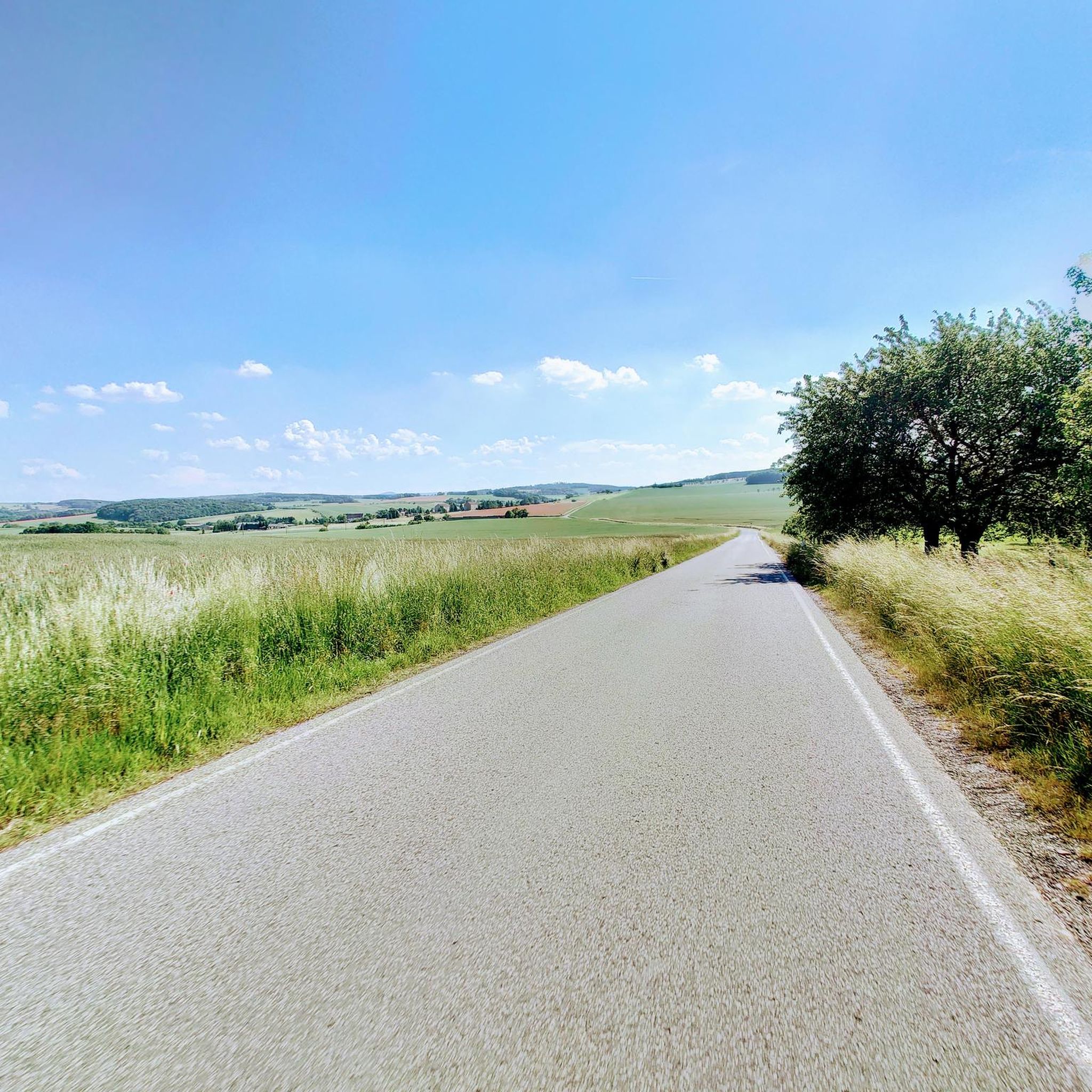
Road cycling routes around La Saunière traverse a rural, hilly, and wooded terrain, characteristic of the Creuse department in central France. The region, often described as a "green and blue country," features varied topography with elevations ranging from 376m to 560m, providing engaging climbs and descents. Extensive forests, numerous lakes, and rivers define the natural landscape, offering diverse environments for road cyclists. This varied terrain provides a visually appealing backdrop for cycling, with fresh air and natural beauty.
Best road…
Last updated: May 20, 2026
12
riders
35.5km
01:41
410m
410m
Moderate road ride. Good fitness required. Mostly well-paved surfaces and easy to ride.
12
riders
Moderate road ride. Good fitness required. Mostly well-paved surfaces and easy to ride.

Sign up for free
9
riders
80.3km
03:59
1,190m
1,190m
Hard road ride. Very good fitness required. Mostly well-paved surfaces and easy to ride.
4.0
(1)
6
riders
Moderate road ride. Good fitness required. Mostly well-paved surfaces and easy to ride.
6
riders
48.0km
02:16
620m
620m
Moderate road ride. Good fitness required. Mostly well-paved surfaces and easy to ride.
Get access to more routes and recommendations from other explorers.
Sign up for free
Already have an account?
Our route recommendations are based on thousands of hikes, rides, and runs completed by other people on komoot.
Start today with a free account
Your next adventure awaits.
Login or Signup
Tips from the Community

First aid station, water point, restaurant
0
0


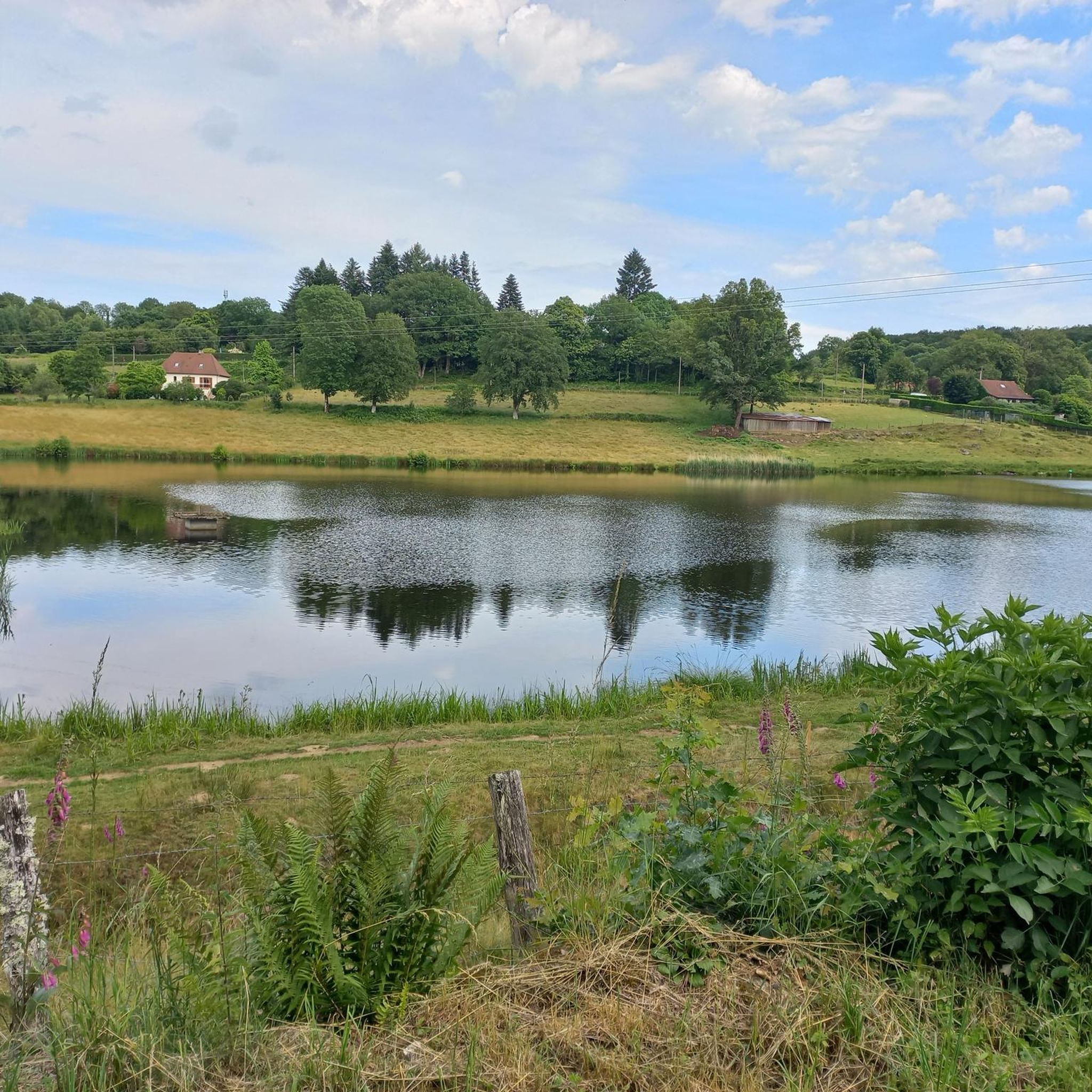
A great little pond that allows you to always be on the edge of the water when running around.
3
0

Old private house from the 18th century built on the site of a feudal castle, on the road between Guéret and Aubusson and adjoining Guéret.
2
0
Body of water at the exit of Guéret, where there are numerous facilities. A pedestrian path goes around it in three kilometers.
3
0
Medieval city of Chénérailles, whose ramparts can still be seen in the old quarter. Do not miss the Café Charcuterie Norre, which is a real institution.
1
0

A body of water with many amenities. Ideal for taking the children out. A very accessible path goes around it in 3km
0
0
Frequently Asked Questions
How many road cycling routes are available in La Saunière?
There are over 400 road cycling routes available around La Saunière, offering a wide range of options for cyclists of all levels.
What kind of terrain can I expect on road cycling routes around La Saunière?
The region around La Saunière is characterized by its rural, hilly, and wooded terrain. You can expect varied topography with elevations ranging from 376m to 560m, providing engaging climbs and descents through extensive forests and past numerous lakes and rivers. It's often described as a 'green and blue country' due to its natural beauty.
What is the best time of year for road cycling in La Saunière?
The Creuse department, where La Saunière is located, generally offers pleasant conditions for road cycling from spring through autumn. The 'green and blue country' is particularly vibrant during these seasons, providing fresh air and scenic views. Always check local weather forecasts before your ride.
Are there road cycling routes suitable for beginners or families in La Saunière?
Yes, while many routes offer varied terrain, there are options for different ability levels. Among the over 400 routes, 16 are classified as easy, making them suitable for less experienced riders or families looking for a more relaxed cycling experience.
What natural features can I see while road cycling in La Saunière?
Road cycling routes in La Saunière traverse a landscape rich in natural beauty. You can expect to see extensive forests, numerous lakes, and rivers. Notable natural highlights in the broader area include the Courtille Pond and the impressive Les Pierres Civieres.
Are there any historical landmarks or points of interest along the cycling routes?
Yes, the region offers a blend of physical activity and local discovery. While cycling, you might encounter historical landmarks such as the 12th-century church and the 15th-century Château du Théret in La Saunière itself. Routes like the Château de Sainte-Feyre – Sainte-Feyre loop from Sainte-Feyre lead through picturesque landscapes incorporating historical sites and charming villages.
What do other road cyclists say about the routes in La Saunière?
The road cycling routes around La Saunière are highly rated by the komoot community, with an average score of 4.4 stars from over 20 reviews. Cyclists often praise the varied terrain, the beautiful 'green and blue country' scenery, and the engaging climbs and descents.
Are there challenging road cycling routes for experienced riders?
Absolutely. The cycling network around La Saunière caters to different ability levels, including more challenging adventures. Out of the over 400 routes, 176 are classified as difficult. An example of a challenging route is the Château de Sainte-Feyre – Courtille Pond loop from Sainte-Feyre, which covers 80.3 km with significant elevation gain.
Can I find longer road cycling routes for extended rides?
Yes, for those looking for longer rides, there are several options. The Château de Sainte-Feyre – Courtille Pond loop from Sainte-Feyre is a notable example, stretching 80.3 km and leading through diverse landscapes and past significant water features.
Is there parking available for cyclists in La Saunière?
While specific designated cyclist parking areas are not detailed, La Saunière is a rural commune. Parking is generally available in and around the village, especially near local amenities or starting points of popular routes. It's advisable to check local signage upon arrival.
Can I reach La Saunière by public transport with my bike?
Information on specific public transport options for cyclists to La Saunière is limited. Given its rural location, public transport links might be infrequent. It's recommended to check regional bus or train services for their bike carriage policies and schedules in advance.
Are there any specific regulations or permits needed for cycling in the La Saunière area?
Generally, no specific permits are required for road cycling on public roads in the La Saunière area or the broader Creuse department. Standard French traffic laws apply. Always respect private property and natural areas, and ensure you have appropriate safety gear.
Are dog-friendly road cycling routes available in La Saunière?
While many outdoor areas in France are dog-friendly, road cycling routes are primarily designed for human cyclists. If you plan to bring a dog, ensure it is safely secured and able to keep pace, or consider alternative activities like hiking on designated trails where dogs are permitted, always on a leash.
Most popular attractions around La Saunière

Get inspired with the komoot mobile app


Explore more
Browse the best Road cycling routes in other regions.
