The best walks and hikes around Le Vernet
4.3
(218)
1,882
hikers
13
hikes
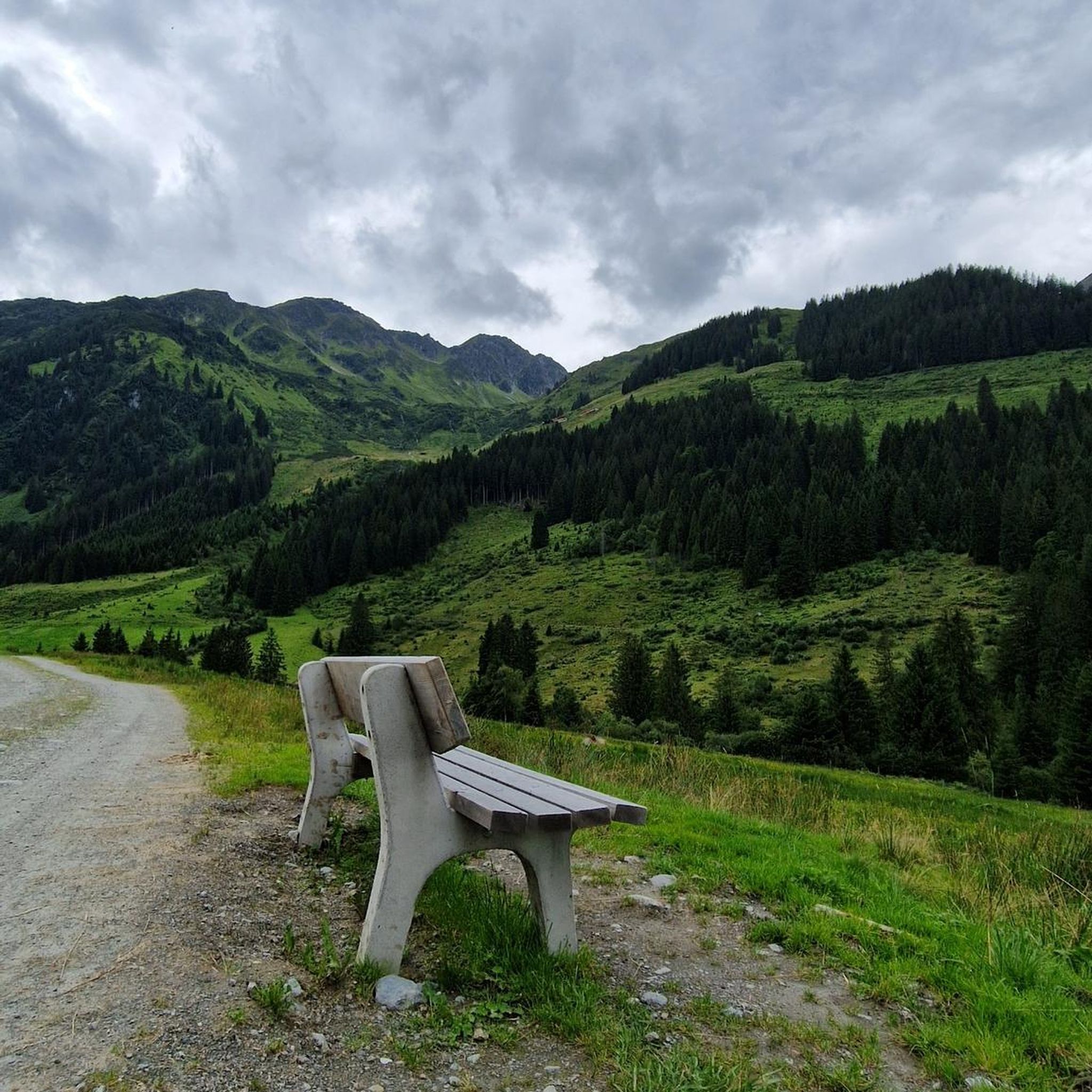
Hiking around Le Vernet offers access to a high plateau situated at 1,200 meters, surrounded by a mountain cirque that reaches up to 2800 meters. The landscape features expansive green meadows and mountainous terrain, providing a diverse environment for outdoor activities. The area is also part of the Haute-Provence Geopark, known for its geological sites and ancient fossils.
Best hiking trails around Le Vernet
- The most popular hiking route is Le Vernet – Ride Le Vernet loop from Le Vernet…
Last updated: May 21, 2026
5.0
(3)
22
hikers
10.1km
02:52
230m
230m
Moderate hike. Good fitness required. Easily-accessible paths. Suitable for all skill levels.
4.0
(2)
10
hikers
5.78km
01:43
170m
170m
Easy hike. Great for any fitness level. Easily-accessible paths. Suitable for all skill levels.

Sign up for free
3.5
(2)
4
hikers
4.95km
01:26
120m
120m
Easy hike. Great for any fitness level. Easily-accessible paths. Suitable for all skill levels.
4.0
(1)
6
hikers
15.9km
04:40
450m
450m
Moderate hike. Good fitness required. Easily-accessible paths. Suitable for all skill levels.
5.0
(2)
4
hikers
2.93km
00:49
50m
50m
Easy hike. Great for any fitness level. Easily-accessible paths. Suitable for all skill levels.
Get access to more routes and recommendations from other explorers.
Sign up for free
Already have an account?
Our route recommendations are based on thousands of hikes, rides, and runs completed by other people on komoot.
Start today with a free account
Your next adventure awaits.
Login or Signup
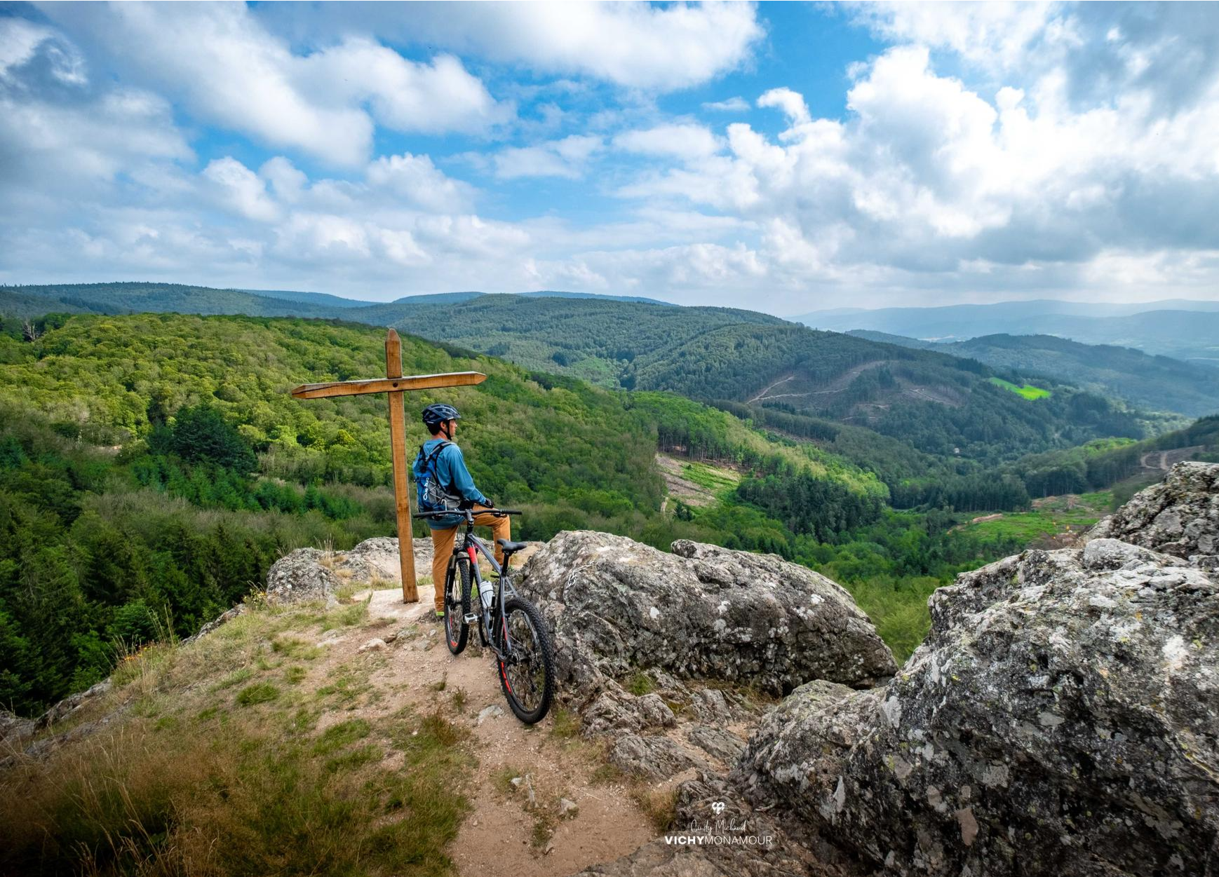
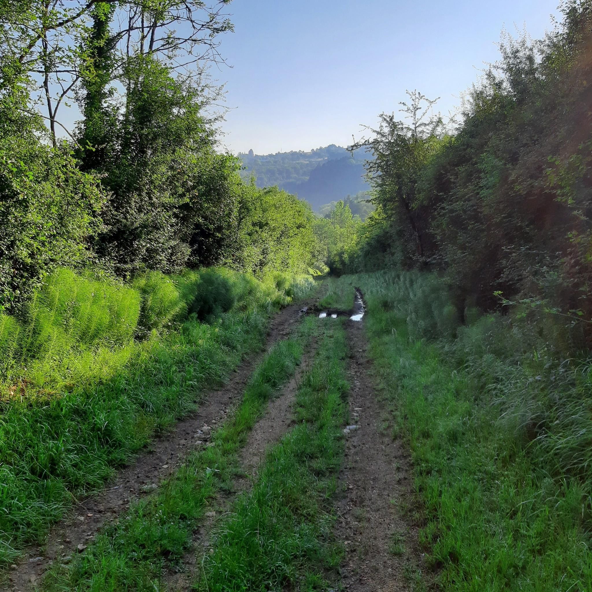
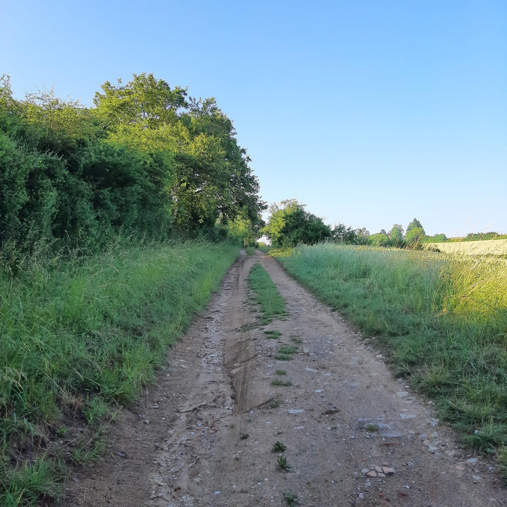
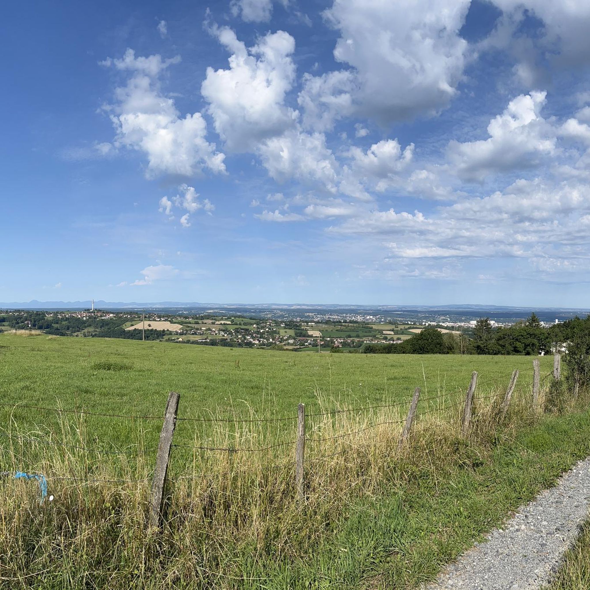
Other adventures around Le Vernet

Tips from the Community

Beautiful weather, dry terrain, great mountain bike ride
0
0

This small town is located halfway between the Sancy massif and the Chaîne des Puys. It is ideally located to enjoy the landscapes of the Monts Dore on one side and those of the Monts Dôme on the other.
0
0
Leaving the village of Le Vernet, you have the option of taking mountain bike trails that lead to Bois Dieu or even the Château du Vernet.
0
0

Magnificent viewpoint over the Vichy valley
0
0
Frequently Asked Questions
What kind of terrain can I expect on hikes around Le Vernet?
Hiking around Le Vernet, located in the Alpes-de-Haute-Provence, offers a diverse landscape. You'll find yourself on a vast high plateau at 1,200 meters, surrounded by a majestic mountain cirque reaching up to 2800 meters. Expect expansive green meadows and varied mountainous terrain, providing a mix of environments for your walks.
Are there easy hiking trails suitable for beginners in Le Vernet?
Yes, Le Vernet offers several easy hiking options perfect for beginners or those looking for a relaxed walk. For example, the Circuit busset loop from Le Vernet is an easy 3.6-mile (5.8 km) trail that can be completed in about 1 hour 42 minutes. Another accessible option is the Tour du Vernet loop from Le Vernet, which is 3.1 miles (4.9 km) long.
What natural attractions or landmarks can I see while hiking in the area?
Le Vernet is rich in natural beauty. You can explore the exceptional botanical wealth along the Bès Botanical Trail. The area is also part of the Haute-Provence Geopark, known for its remarkable geological sites and ancient fossils. Nearby, you'll find the stunning Clue de Barles, the source of the Verdon river, and beautiful mountain passes like Col d'Allos and Col de la Bonette, as well as Lac d'Allos and Lac de Serre-Ponçon.
Are there any long-distance or more challenging hikes available?
While Le Vernet primarily features easy to moderate trails, some routes offer longer distances and more elevation gain. For a moderate challenge, consider the Ride Le Vernet – Circuit busset loop from Le Vernet, which spans 9.7 miles (15.7 km) with significant elevation changes. The region's mountainous cirque also provides a backdrop for more strenuous, though not 'difficult' rated, options like the 'Vertical kilometer – Blayeul loop' mentioned in regional information.
What is the best time of year to go hiking in Le Vernet?
The best time for hiking in Le Vernet is generally from spring through autumn when the weather is mild and the trails are clear. The high plateau and mountainous terrain offer pleasant conditions during these seasons. In winter, snowshoeing is possible, particularly in the Fanget nature reserve, offering a different kind of outdoor experience.
Are there circular hiking routes around Le Vernet?
Yes, many of the popular routes around Le Vernet are circular, allowing you to start and end in the same location. Examples include the Le Vernet – Ride Le Vernet loop from Le Vernet, a 6.3-mile (10.2 km) trail, and the Tour du Vernet – Ride Le Vernet loop from Le Vernet, which is 6.2 miles (9.9 km).
Is Le Vernet a good destination for family-friendly hikes?
Le Vernet is suitable for family-friendly hikes, especially with its selection of easy and moderate trails. The expansive green meadows and the Bès Botanical Trail offer engaging environments for children to explore nature. Always check the specific trail details for distance and elevation to ensure it matches your family's fitness level.
What do other hikers say about the trails in Le Vernet?
The trails in Le Vernet are highly regarded by the komoot community, holding an average rating of 4.3 stars from over 200 reviews. Hikers often praise the diverse landscape, from high plateaus and green meadows to the surrounding mountainous cirques, and appreciate the well-maintained paths suitable for various ability levels.
Is there parking available near the hiking trailheads in Le Vernet?
While specific parking locations for each trailhead are not detailed, Le Vernet is a small village, and parking is generally available within or on the outskirts, providing access to the local trail network. It's advisable to check local signage upon arrival for designated parking areas.
Can I reach the hiking trails around Le Vernet using public transport?
Information on direct public transport links to specific trailheads in Le Vernet is limited. As a smaller village in a mountainous region, public transport options might be less frequent or extensive compared to larger towns. It's recommended to check regional bus schedules or consider personal transport for maximum flexibility when accessing trails.
Are dogs allowed on the hiking trails in Le Vernet?
Generally, dogs are welcome on hiking trails in the French Alps, but it's crucial to keep them on a leash, especially in nature reserves or areas with livestock, to protect wildlife and ensure safety. Always check for specific local regulations or signage at trailheads regarding pets.
Most popular routes around Le Vernet
Most popular attractions around Le Vernet

Get inspired with the komoot mobile app


Explore more
Browse the best Hikes in other regions.
