The best walks and hikes around Arnas
4.5
(896)
5,106
hikers
318
hikes
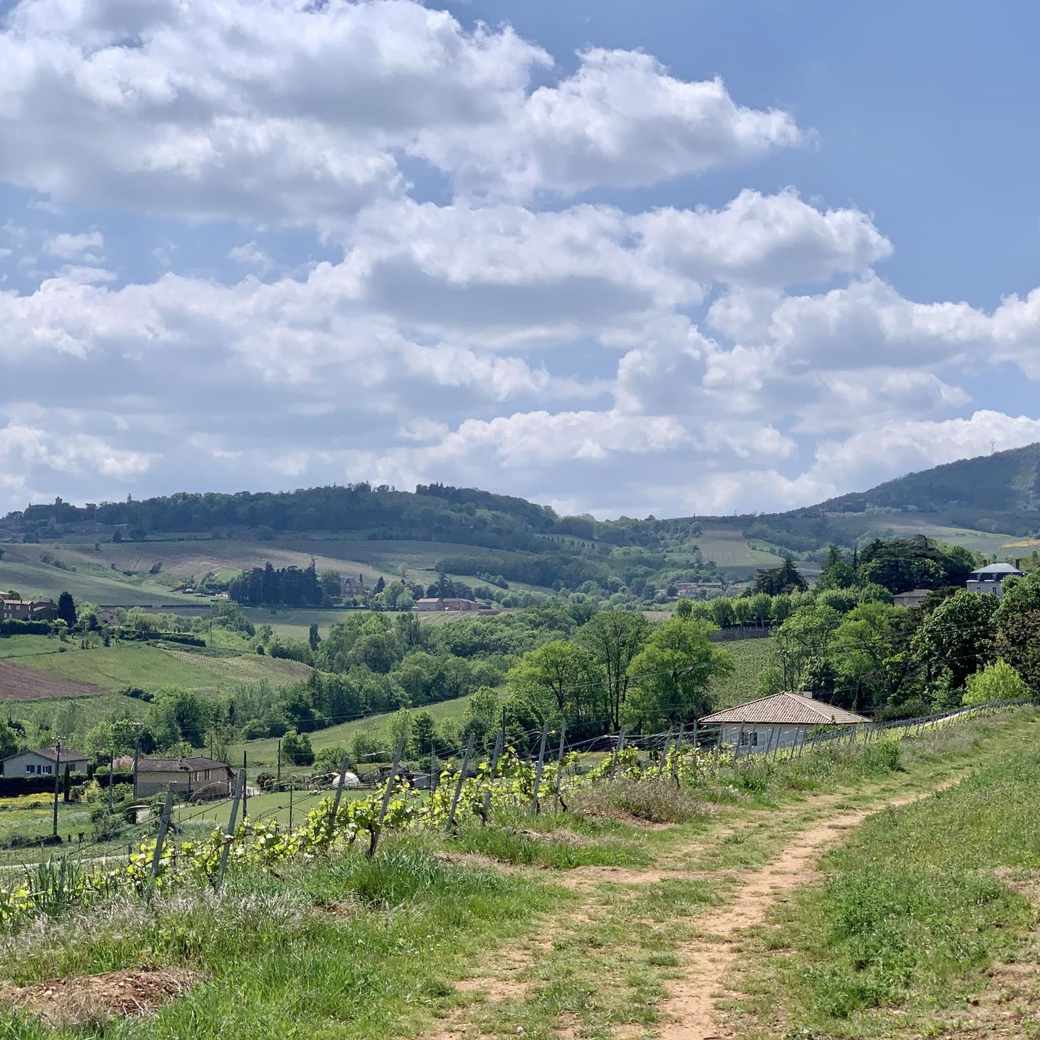
Hiking around Arnas offers trails through varied landscapes, primarily characterized by the Saône River valley and surrounding hills. The region features routes along river towpaths, providing views of the waterway and its banks. Elevations are generally gentle, with some trails ascending to local hills, such as the Col de la Croix du Ban, which reaches 440 meters. The area combines natural riverine scenery with cultural landmarks like the Château de Fléchères.
Best hiking trails around Arnas
- The most popular hiking…
Last updated: May 14, 2026
4.8
(5)
23
hikers
13.0km
03:24
100m
100m
Moderate hike. Good fitness required. Easily-accessible paths. Suitable for all skill levels.
4.8
(4)
16
hikers
6.56km
01:42
40m
40m
Easy hike. Great for any fitness level. Easily-accessible paths. Suitable for all skill levels.

Sign up for free
5.0
(1)
20
hikers
9.55km
02:31
80m
80m
Moderate hike. Good fitness required. Easily-accessible paths. Suitable for all skill levels.
5.0
(1)
16
hikers
Moderate hike. Good fitness required. Easily-accessible paths. Suitable for all skill levels.
19
hikers
7.44km
01:53
10m
10m
Easy hike. Great for any fitness level. Easily-accessible paths. Suitable for all skill levels.
Get access to more routes and recommendations from other explorers.
Sign up for free
Already have an account?
Our route recommendations are based on thousands of hikes, rides, and runs completed by other people on komoot.
Start today with a free account
Your next adventure awaits.
Login or Signup

Tips from the Community

A lovely bridge to reach Villefranche-sur-Saône from Beauregard, accessible only on foot or by bicycle.
0
0

pretty shopping street limited to 30kmh but watch out for cars leaving their parking space without turning signals, there is a lot of movement at certain times, be very careful
0
0

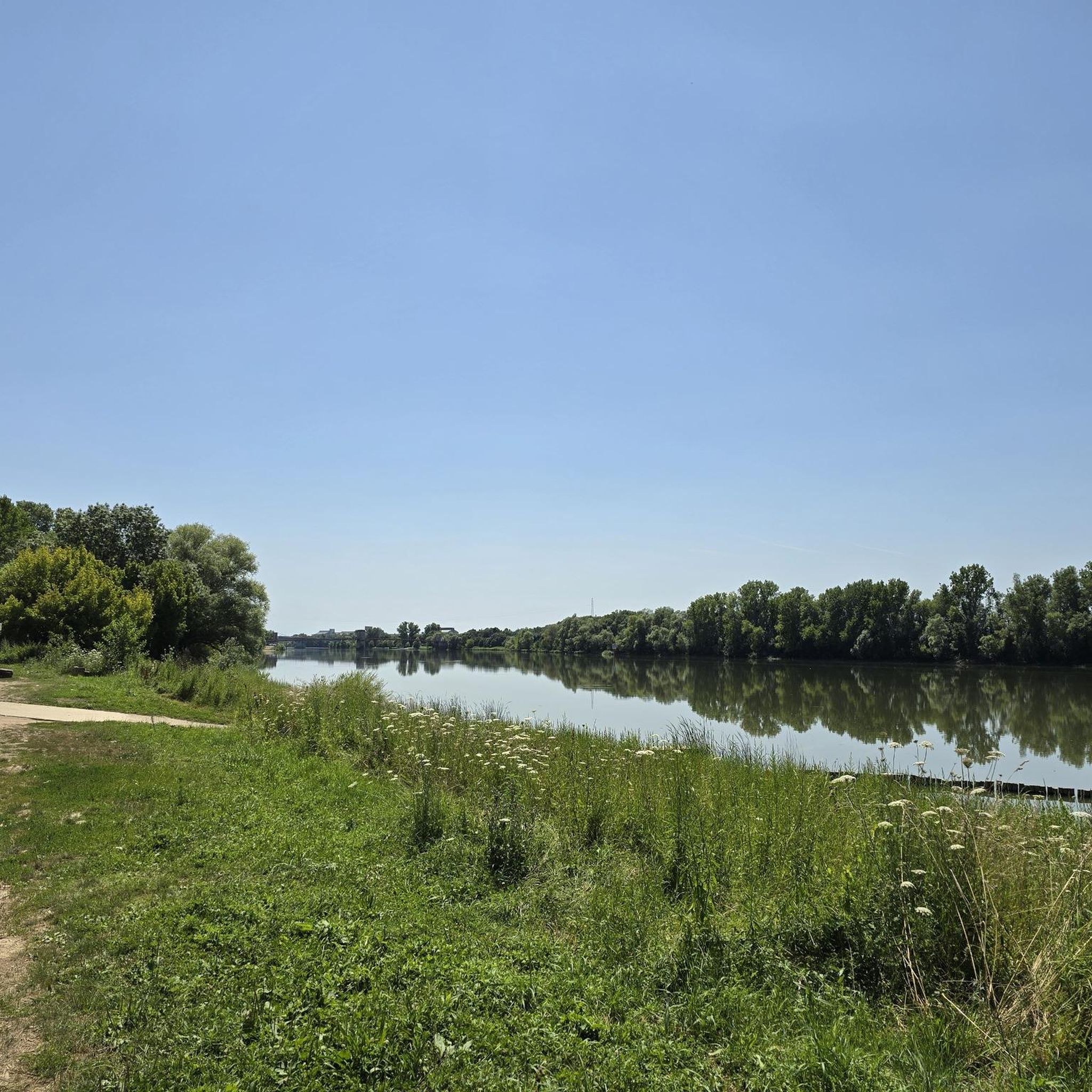
A "chemin de halage", or in German "treidelpfad", which runs alongside the waterway right next to the bed of the river or canal, was an indispensable part of the transport infrastructure in earlier times. Before ships could move using motor power, horses ran along the bank and pulled the ship against the current. This was called "treideln", and this is how the "treidelpfads" got their name, which has been passed down to this day. Where these paths directly on the bank have been preserved, they are often used by hikers and cyclists.
0
0

Downtown Villefranche-sur-Saône on a Sunday morning.
0
0


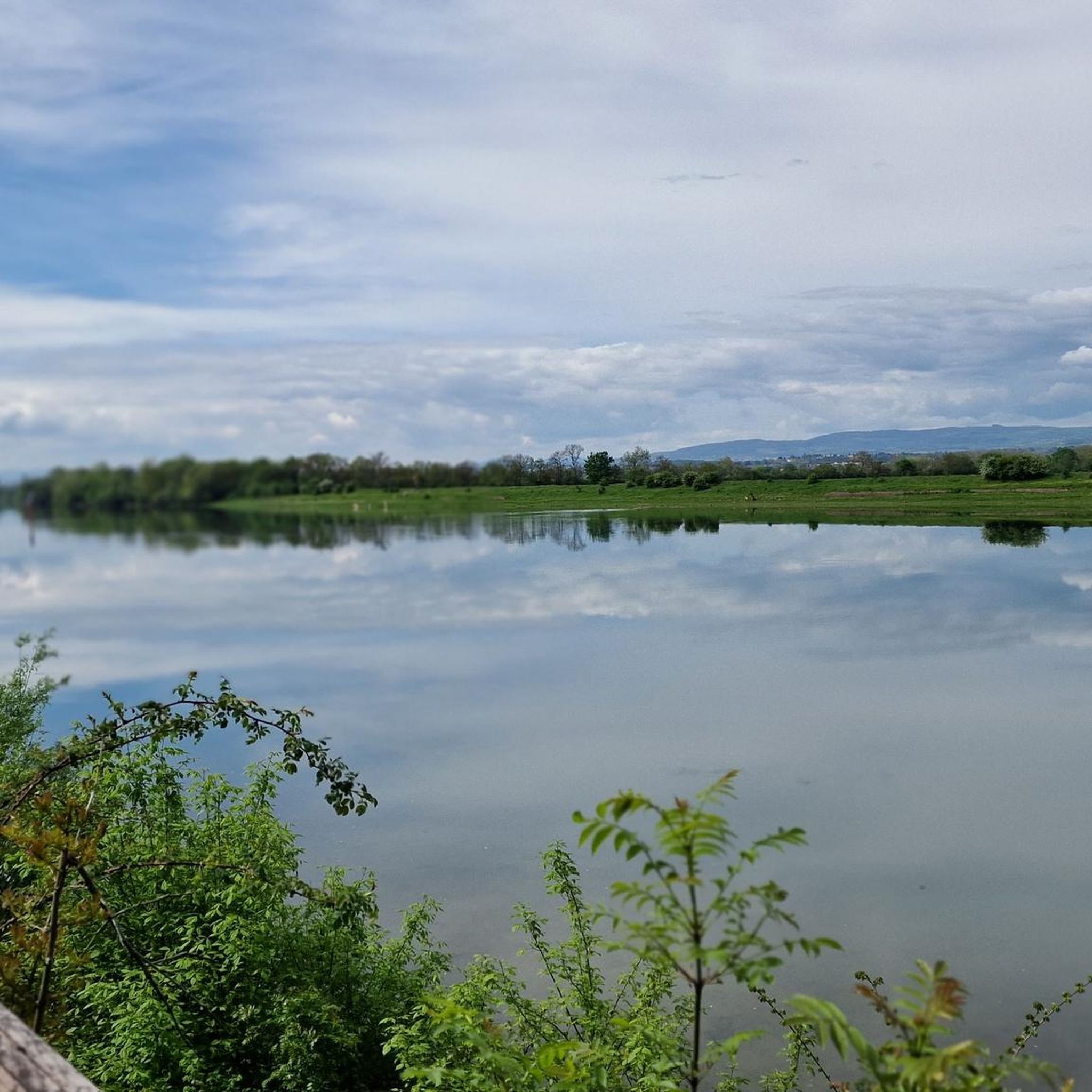
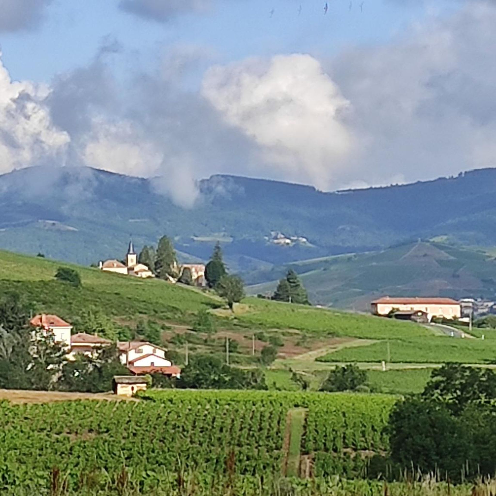
A superb view of the Beaujolais mountains, the mirror of the Saône.
1
0
A bridge only for pedestrians and bicycles!
2
0
Very pretty gravel path, very rolling during off-peak hours. A little boring over time like most towpaths.
2
0
Frequently Asked Questions
How many hiking trails are available around Arnas?
There are over 300 hiking trails around Arnas, offering a diverse range of options from easy riverside strolls to more challenging ascents into the surrounding hills. The region is well-suited for various skill levels.
What do other hikers enjoy most about hiking in Arnas?
The komoot community highly rates hiking in Arnas, with an average score of 4.5 stars from over 800 reviews. Hikers often praise the scenic views along the Saône River, the gentle hills, and the opportunity to explore cultural landmarks like the Château de Fléchères.
Are there easy hiking trails suitable for beginners or families in Arnas?
Yes, Arnas offers over 115 easy hiking routes perfect for beginners or families. A great option is the Château de Fléchères – View of the Saône River loop from Fareins, which is 4.1 miles (6.6 km) long and provides lovely views of the river and the historic château. Another easy choice is the Beauregard loop from Jassans-Riottier, a shorter 4.1 km path.
Are there challenging hikes for experienced hikers around Arnas?
While Arnas is known for its gentle terrain, there are 27 more difficult routes for those seeking a challenge. The Col de la Croix du Ban - 440 m – Statue of the Virgin Mary loop from Saint-Julien offers a moderate challenge with significant elevation gain, leading to rewarding views from the Col de la Croix du Ban.
Can I find circular hiking routes in Arnas?
Yes, many of the trails around Arnas are circular, allowing you to start and end at the same point. Examples include the popular Towpath along the Saône – Beauregard loop from Beauregard and the Towpath along the Saône loop from Beauregard.
What kind of landscapes can I expect to see while hiking in Arnas?
Hiking in Arnas primarily features the picturesque Saône River valley and its surrounding gentle hills. You'll encounter river towpaths, offering continuous views of the waterway, as well as routes that ascend to local hills like the Col de la Croix du Ban, providing broader vistas of the region.
Are there any notable landmarks or attractions along the hiking trails?
Yes, several trails pass by interesting landmarks. The Château de Fléchères – View of the Saône River loop from Fareins takes you past the historic Château de Fléchères. Other nearby attractions include the charming settlement of Beauregard and the historic Montmelas Castle.
What is the typical duration for hikes in Arnas?
Hike durations in Arnas vary widely. Easy riverside strolls can be completed in 1-2 hours, while moderate routes like the Towpath along the Saône – Beauregard loop from Beauregard typically take around 3 hours 25 minutes. Longer, more challenging routes can extend to half a day or more.
Are there any specific recommendations for dog-friendly trails?
Many of the towpath and riverside trails in Arnas are suitable for dogs, provided they are kept on a leash. The open nature of these paths generally offers good space. Always ensure your dog is well-behaved and that you carry waste bags.
Is there parking available at the trailheads in Arnas?
Parking is generally available near the starting points of many popular trails, especially in and around the villages like Beauregard, Fareins, and Saint-Julien. It's advisable to check specific route details on komoot for precise parking information before you set out.
What is the best season for hiking in Arnas?
The region around Arnas is pleasant for hiking during spring, summer, and autumn. Spring brings blooming flora, while autumn offers beautiful foliage. Summer is ideal for riverside walks, though it can be warm. Winter hiking is possible, but some paths might be muddy or slippery, especially after rain.
Most popular attractions around Arnas

Get inspired with the komoot mobile app


Explore more
Browse the best Hikes in other regions.
