The best running trails around Saint-Pierre-Laval
4.3
(11)
213
runners
70
runs
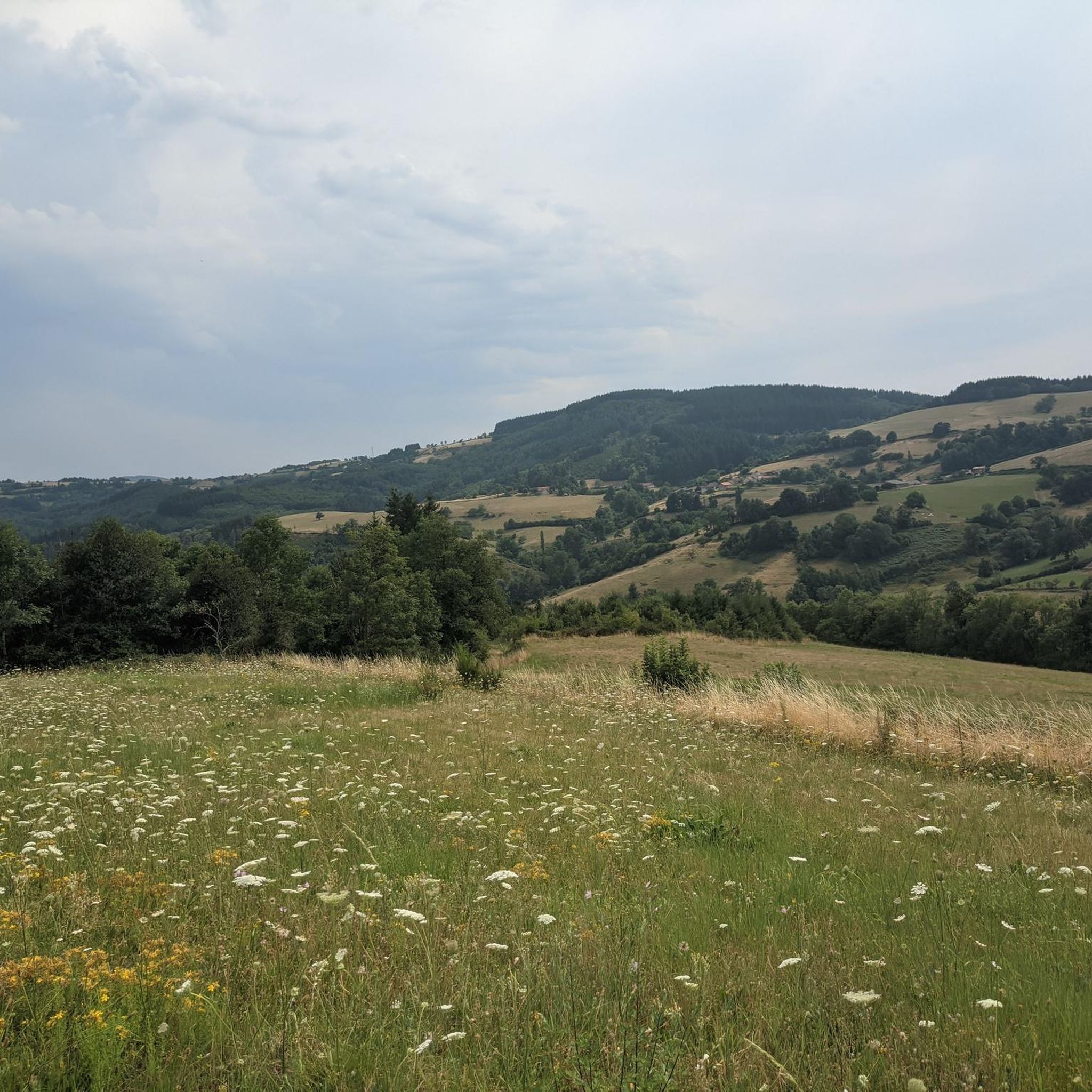
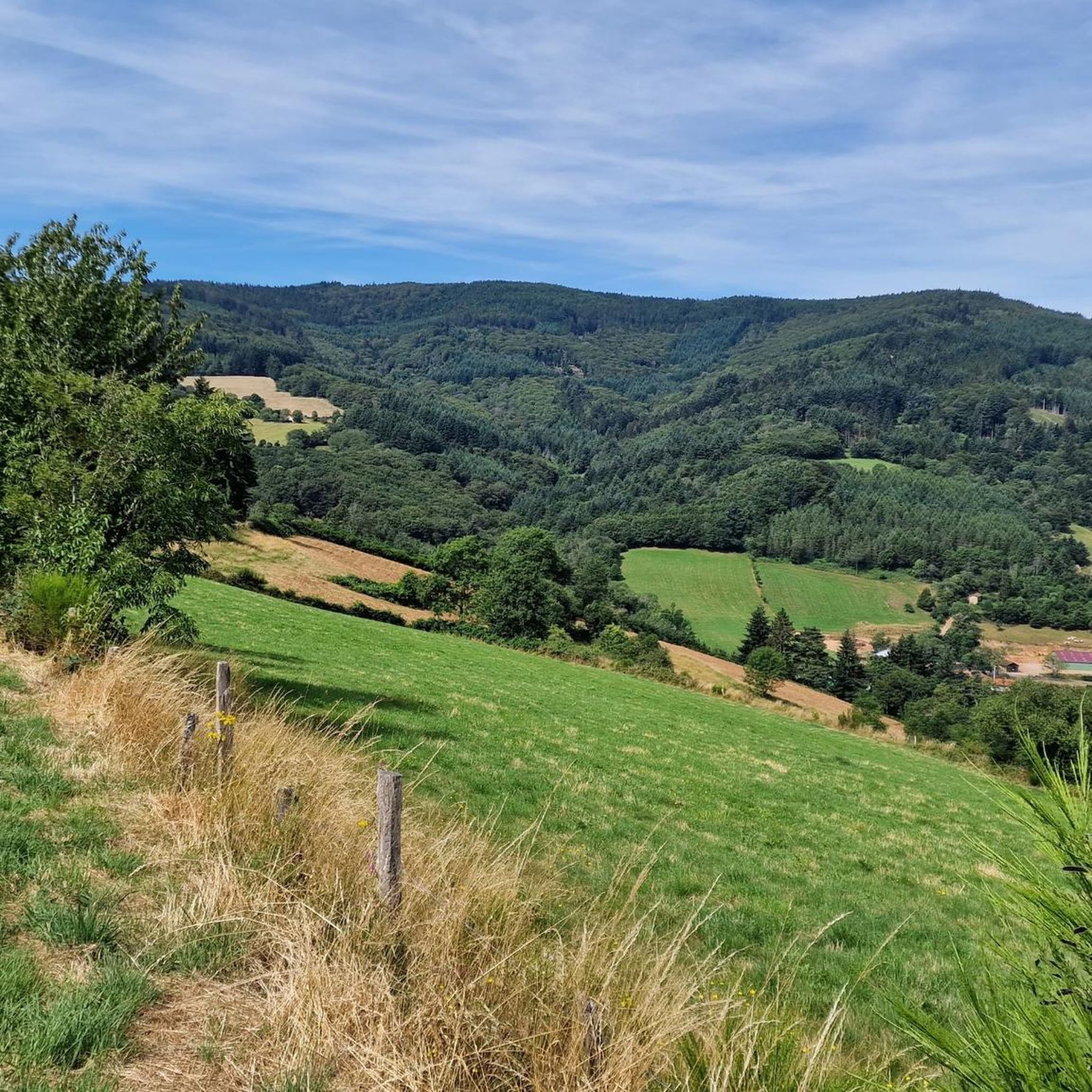
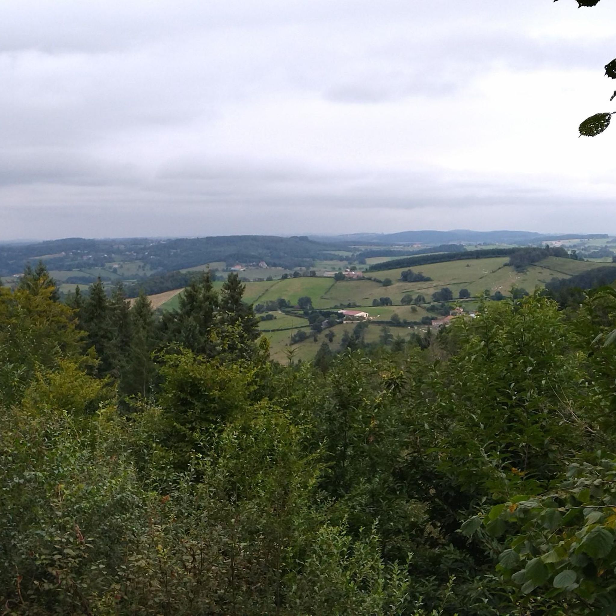
Jogging routes around Saint-Pierre-Laval traverse a diverse natural environment in the Allier department of central France. The region is characterized by rolling landscapes, gentle hills, and agricultural lands, offering varied terrain for runners. Significant forest heritage provides shaded paths, while numerous streams and rivers, including the nearby Sioule, sculpt picturesque views. The area's average elevation of 400 meters, with a range up to 664 meters, ensures opportunities for elevation changes during a run.
Best jogging routes around Saint-Pierre-Laval
- The most…
Last updated: May 15, 2026
12
runners
12.6km
01:30
300m
300m
Moderate run. Good fitness required. Mostly paved surfaces. Suitable for all skill levels.
12
runners
26.4km
03:11
610m
610m
Hard run. Very good fitness required. Mostly paved surfaces. Suitable for all skill levels.

Sign up for free
12
runners
6.73km
00:46
170m
170m
Moderate run. Good fitness required. Mostly paved surfaces. Suitable for all skill levels.
5.0
(1)
5
runners
21.1km
02:44
630m
640m
Hard run. Very good fitness required. Mostly paved surfaces. Suitable for all skill levels.
4
runners
9.91km
01:09
200m
200m
Moderate run. Good fitness required. Mostly paved surfaces. Suitable for all skill levels.
Get access to more routes and recommendations from other explorers.
Sign up for free
Already have an account?
Our route recommendations are based on thousands of hikes, rides, and runs completed by other people on komoot.
Start today with a free account
Your next adventure awaits.
Login or Signup
Tips from the Community


Le Moulin du Mas in Arfeuilles is an old water mill dating from Roman times, still well preserved. It is reached by following the path that leads to the Pisserote waterfall, a beautiful waterfall that is also worth a visit. You will need good shoes, water and a camera to capture the memories of this unique place.
2
0
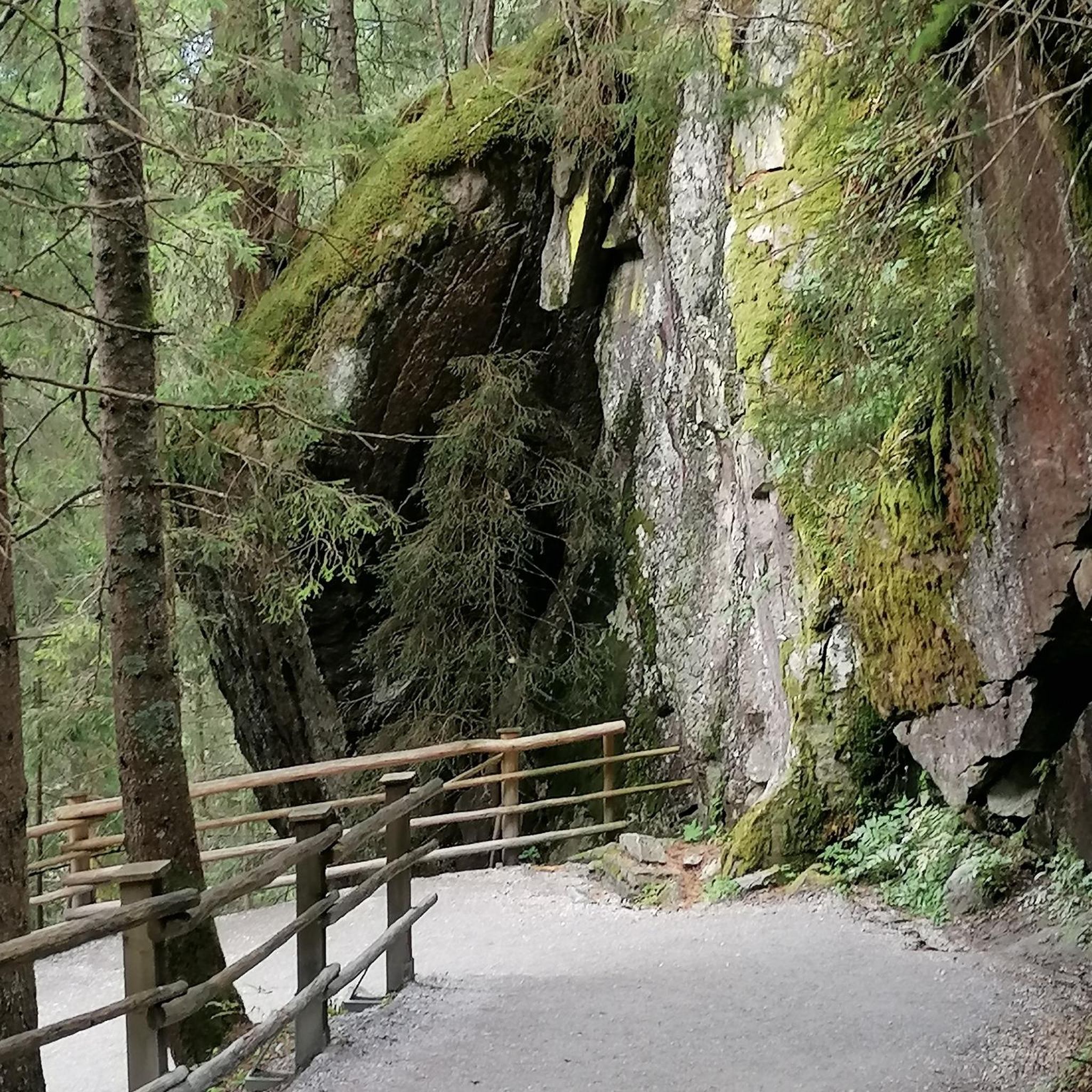
The Cascade de la Pisserotte, near Arfeuilles, drops 64 meters. You will follow a path that crosses a forest, a pond and some rocky areas, until you reach the sound of cascading water. The waterfall is particularly impressive in the spring, when melting snow increases the flow of water. You can enjoy the view from the bottom or climb up to see other waterfalls on the heights. Be careful not to slip or disturb wildlife. It is an ideal way to experience the natural beauty and charm of this region.
6
0

The Col de la Croix du Sud from Saint-Bonnet-des-Quarts is 12 kilometers long with a total elevation gain of 398 meters. The average gradient is 3% with maximum gradients of 6%.
3
0

The Petit Louvre is a 15th century monument in Renaissance and Gothic style. It was a stopover lodge for the king's officers, constabulary brigade, post house in the royal service and presbytery. Its architecture stands out with its 3-storey frame in the shape of an upside-down boat hull and its tower. It is possible to visit the Petit Louvre from June 15 until the end of September.
0
0
Le Crozet is a medieval city which houses houses from the 13th to the 16th century. This characterful village has retained its fortifications and a mix of stone buildings, flower-decked houses and the large arched doorway built in 1236.
1
0
Frequently Asked Questions
How many running routes are available around Saint-Pierre-Laval?
There are over 60 running routes around Saint-Pierre-Laval, offering a wide range of experiences through the region's diverse landscapes. These trails traverse forests, rolling hills, and river valleys, providing options for various fitness levels.
What kind of terrain can I expect on the jogging trails in Saint-Pierre-Laval?
The terrain around Saint-Pierre-Laval is quite varied, featuring rolling landscapes, gentle hills, and agricultural lands. You'll find routes through significant forest heritage, offering shaded paths, as well as trails alongside numerous streams and rivers. The average elevation of 400 meters, with a range up to 664 meters, means many routes include engaging ascents and descents.
Are there any circular running routes in the Saint-Pierre-Laval area?
Yes, many of the running routes around Saint-Pierre-Laval are circular. For example, the Le Crozet loop from Le Crozet is a moderate 7.8-mile (12.6 km) trail, and the Étang de Montvernay loop from Saint-Pierre-Laval offers a 6.0-mile (9.7 km) run through green spaces.
Can I find running routes that pass by waterfalls or other scenic points?
Absolutely. The region is known for its natural beauty. You can explore the Pisserotte Waterfall – Le moulin du Mas loop from Village du Verger, a moderate 6.2-mile (9.9 km) path that leads directly past the beautiful Pisserotte Waterfall. The area's rivers and streams also offer picturesque views.
What are the difficulty levels of the running trails in Saint-Pierre-Laval?
The trails cater to a range of abilities. While there are a few easy routes, the majority (around 45) are classified as moderate, offering a good balance of challenge and accessibility. For more experienced runners, there are also about 13 difficult routes, often featuring more significant elevation changes.
Are there any family-friendly jogging routes in Saint-Pierre-Laval?
Many of the moderate and easier routes are suitable for families looking to jog together. The diverse terrain, with options for both flatter paths along rivers and gentle ascents through forests, allows families to choose routes that match their comfort and fitness levels. The tranquil rural setting makes for a pleasant experience.
What is the best time of year to go jogging in Saint-Pierre-Laval?
The region is enjoyable for jogging throughout much of the year. The presence of substantial forest heritage provides shaded paths, which are ideal during warmer months. Spring and autumn offer pleasant temperatures and vibrant scenery, while the varied terrain can be explored in winter, though conditions may vary.
Are there any amenities or places to explore near the running routes?
Yes, the region offers a glimpse into traditional rural life. The village of Le Crozet is a notable highlight, and you might encounter charming spots like Le moulin du Mas. For historical interest, the Château de La Palice in Lapalisse is also nearby.
What do other runners enjoy most about jogging in Saint-Pierre-Laval?
The running routes in Saint-Pierre-Laval are highly rated by the komoot community, with an average score of 4.3 stars. Reviewers often praise the diverse natural environment, the tranquility of the rural setting, and the variety of terrain that makes for engaging runs, from forest paths to scenic river views.
Are there any longer, more challenging running routes for experienced runners?
Yes, for those seeking a greater challenge, routes like Le Petit Louvre – Le Crozet loop from La Pacaudière offer a difficult 16.4-mile (26.4 km) run with significant elevation changes. Another demanding option is the Bécajat – Col de la Croix du Sud loop from Saint-Bonnet-des-Quarts, which is 13.1 miles (21.1 km) long and also rated as difficult.
Is parking available at the trailheads for these running routes?
While specific parking details for every trailhead are not provided, the rural nature of Saint-Pierre-Laval and its surrounding communes generally means that parking is available in or near villages, or at designated starting points for hiking and running circuits. It's advisable to check local signage upon arrival.
Can I reach the running routes using public transport?
Saint-Pierre-Laval is situated in a rural area of central France. Public transport options directly to specific trailheads might be limited. It's generally recommended to have personal transportation to access the various starting points of the running routes around the commune and the wider Pays de Lapalisse.
Most popular attractions around Saint-Pierre-Laval

Get inspired with the komoot mobile app


Explore more
Browse the best Running Trails & Routes in other regions.
