The best road cycling routes around Halleringen
4.2
(27)
705
riders
147
rides
Road cycling routes around Halleringen traverse a landscape characterized by rolling hills, rural farmlands, and scattered woodlands. The region features moderate elevation changes, with routes often following river valleys and passing through small villages. This terrain provides a mix of gentle gradients and more challenging climbs suitable for road cyclists.
Best road cycling routes around Halleringen
- The most popular road cycling route is Mont Saint-Pierre loop from Bambiderstroff, a 27.4 miles (44.1 km) trail that takes 1 hour 56…
Last updated: July 29, 2026
5.0
(1)
11
riders
44.1km
01:57
400m
400m
Moderate road ride. Good fitness required. Mostly well-paved surfaces and easy to ride.
8
riders
26.9km
01:13
230m
230m
Easy road ride. Great for any fitness level. Mostly well-paved surfaces and easy to ride.

Sign up for free
9
riders
Moderate road ride. Good fitness required. Mostly well-paved surfaces and easy to ride.
4
riders
45.3km
02:03
460m
460m
Moderate road ride. Good fitness required. Mostly well-paved surfaces and easy to ride.
9
riders
Moderate road ride. Good fitness required. Some segments of this route may be unpaved and difficult to ride.
Get access to more routes and recommendations from other explorers.
Sign up for free
Already have an account?
Our route recommendations are based on thousands of hikes, rides, and runs completed by other people on komoot.
Start today with a free account
Your next adventure awaits.
Login or Signup


Tips from the Community


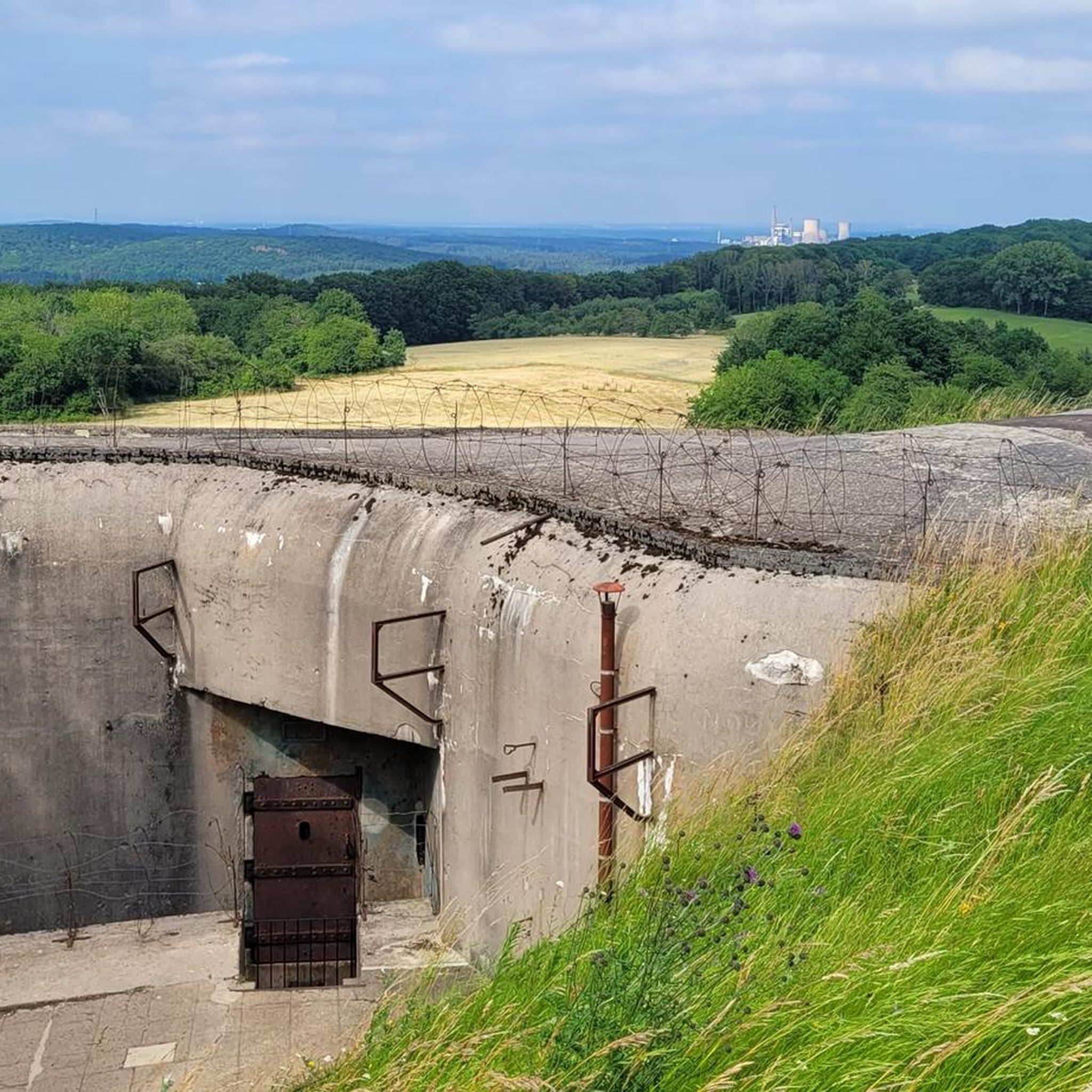
The Hussards hill is a beautiful place for mountain biking. Several circuits are available at its entrance.
0
0

Memorial to the fallen of the two world wars and the Indochina War 🕊️.
0
0

This section is on the way between the German border and Metz, about 40 km away.
0
0

Lightly traveled road in good condition
0
0

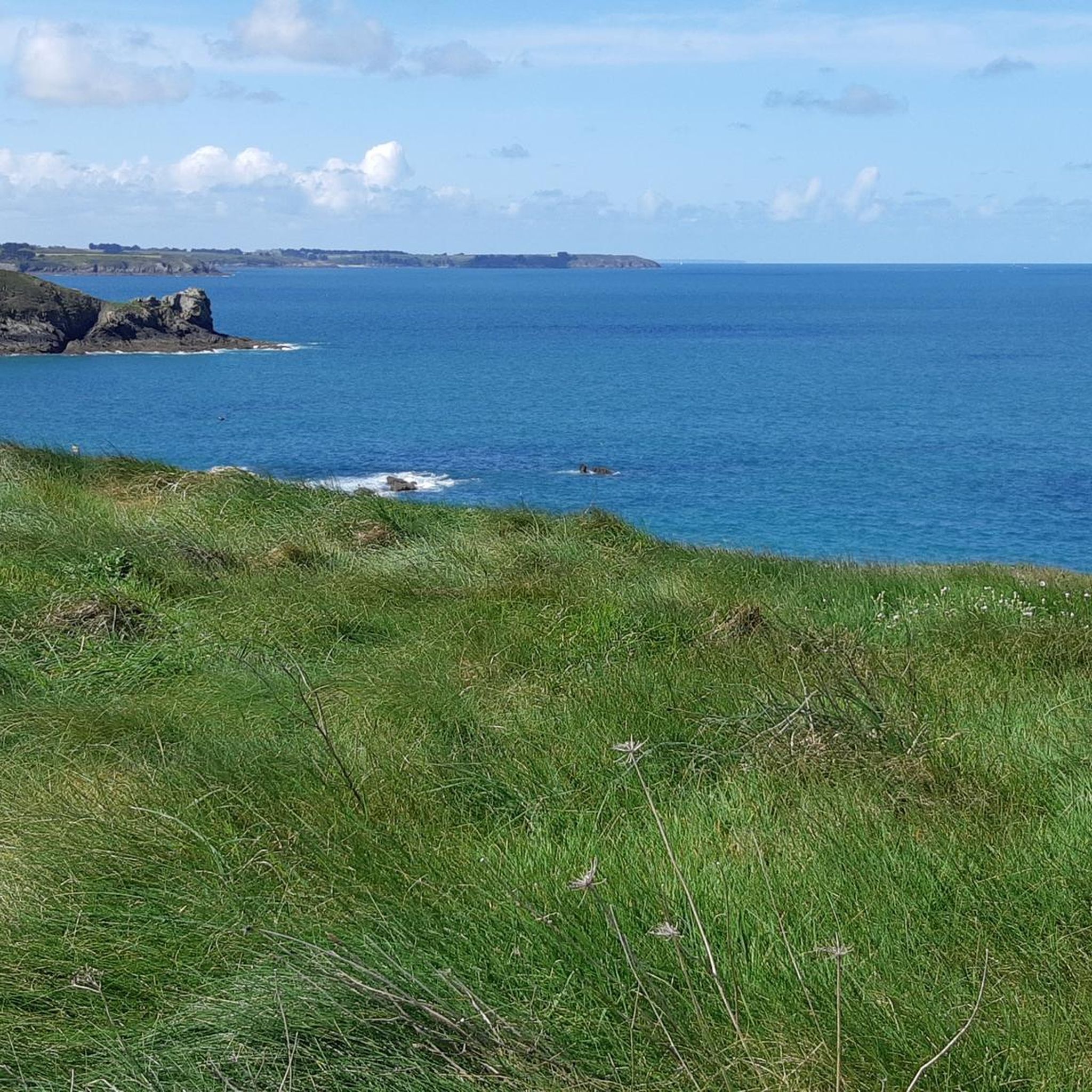
Very nice view of the surroundings
0
0

Idyllic place with historical center
0
0
Frequently Asked Questions
What kind of terrain can I expect on road cycling routes around Halleringen?
The Halleringen region is characterized by rolling hills, rural farmlands, and scattered woodlands. Routes often follow river valleys, providing a mix of gentle gradients and more challenging climbs, suitable for various road cycling abilities.
How many road cycling routes are there in Halleringen?
There are over 150 road cycling routes available around Halleringen on komoot, offering a wide range of options for different skill levels and preferences.
Are there easy road cycling routes suitable for beginners in Halleringen?
Yes, Halleringen offers several easy road cycling routes perfect for beginners or those looking for a relaxed ride. You can find over 20 such routes on komoot, designed to be less demanding.
Are there challenging road cycling routes for experienced riders?
For experienced road cyclists seeking a challenge, Halleringen provides routes with more significant elevation changes and longer distances. There are 8 difficult routes available, offering a good test of endurance and skill.
What are some scenic viewpoints or landmarks I can see along the routes?
Many routes in Halleringen pass by interesting landmarks and offer scenic views. For example, the Mont Saint-Pierre loop from Bambiderstroff takes you past the notable Mont Saint-Pierre. Other attractions in the wider region include historical sites like the Maginot Line and various religious buildings such as Croix de Porcelette.
What is the best season for road cycling in Halleringen?
The best season for road cycling in Halleringen is typically from spring through autumn (April to October). During these months, the weather is generally mild, and the landscapes are vibrant, offering ideal conditions for exploring the region by bike.
Are there circular road cycling routes in Halleringen?
Yes, many of the road cycling routes in Halleringen are designed as circular loops, allowing you to start and finish at the same point. Examples include the Beautiful chapel – Enge Gasse loop from Varize-Vaudoncourt and the Denkmal für die Gefallenen 🕊️ – War Memorial and Clock Tower loop from Créhange.
Are there family-friendly road cycling options in Halleringen?
While road cycling routes are generally on public roads, some of the easier, flatter sections through rural areas can be suitable for families with older children who are comfortable riding on roads. Always check the route details for traffic levels and terrain before setting out with family.
What do other road cyclists enjoy most about road cycling in Halleringen?
The road cycling routes around Halleringen are highly rated by the komoot community, with an average score of 4.88 stars from over 26 reviews. Cyclists often praise the varied terrain, the charming rural landscapes, and the historical points of interest encountered along the way.
Are there road cycling routes that pass by cafes or places to stop for refreshments?
Many routes in Halleringen pass through small villages where you can often find local cafes or bakeries for a refreshment stop. Planning your route with komoot allows you to identify potential stops along your chosen path.
How long do road cycling routes in Halleringen typically take to complete?
Route durations vary significantly based on distance and elevation. For example, the Mont Saint-Pierre loop from Bambiderstroff typically takes around 1 hour 56 minutes, while the longer Denkmal für die Gefallenen 🕊️ – War Memorial and Clock Tower loop from Créhange can take about 2 hours 50 minutes.
Is parking available near the starting points of road cycling routes?
Yes, many villages and towns that serve as starting points for road cycling routes in Halleringen offer public parking facilities. It's advisable to check specific village amenities or use komoot's map features to locate parking near your chosen starting point.
Most popular routes around Halleringen
Most popular attractions around Halleringen

Get inspired with the komoot mobile app


Explore more
Browse the best Road cycling routes in other regions.
