The best running trails around Königsmachern
4.4
(132)
10,863
runners
357
runs
Jogging routes around Königsmachern offer a diverse range of experiences, from challenging long-distance trails to shorter, more accessible paths. The region features varied terrain, including areas with limestone cliffs and woodlands, alongside routes that traverse local countryside and village surroundings. While some running routes present significant elevation gain, many others provide gentler gradients suitable for a relaxed run.
Best jogging routes around Königsmachern
- The most popular jogging route is Orchideenpfad – Stromberg Limestone Cliffs loop from Malling, a 27.9…
Last updated: October 27, 2026
230
runners
22.1km
02:18
40m
40m
Hard run. Very good fitness required. Mostly paved surfaces.
74
runners
14.3km
01:29
60m
60m
Moderate run. Good fitness required. Mostly paved surfaces.

4.0
(1)
61
runners
11.4km
01:11
40m
40m
Moderate run. Good fitness required. Mostly paved surfaces.
47
runners
20.2km
02:26
470m
480m
Hard run. Very good fitness required. Mostly runnable paths. Some sure-footedness required.
5.0
(1)
52
runners
10.8km
01:07
20m
20m
Moderate run. Good fitness required. Mostly paved surfaces.
Get access to more routes and recommendations from other explorers.
Already have an account?
Our route recommendations are based on thousands of hikes, rides, and runs completed by other people on komoot.
Start today with a free account
Your next adventure awaits.
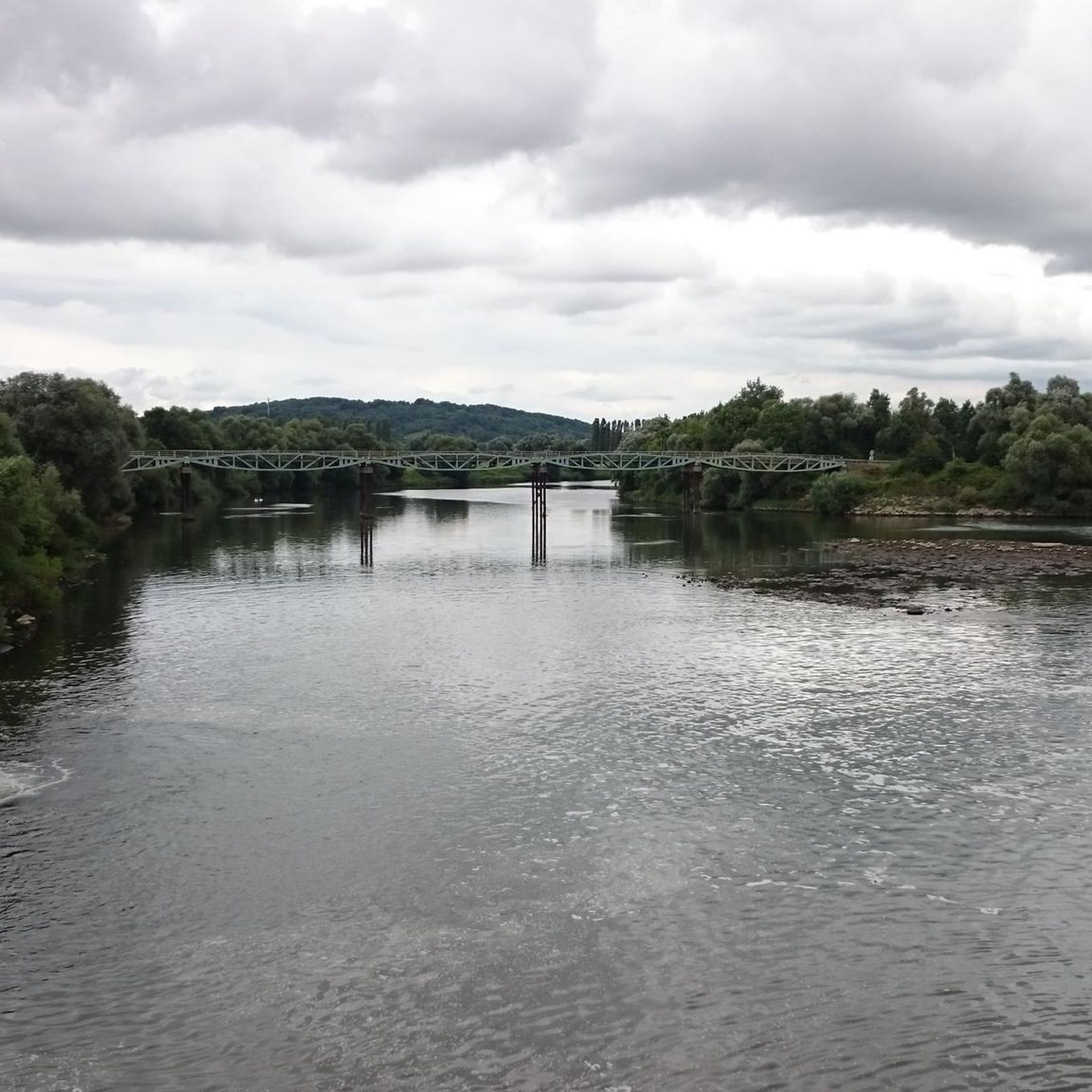
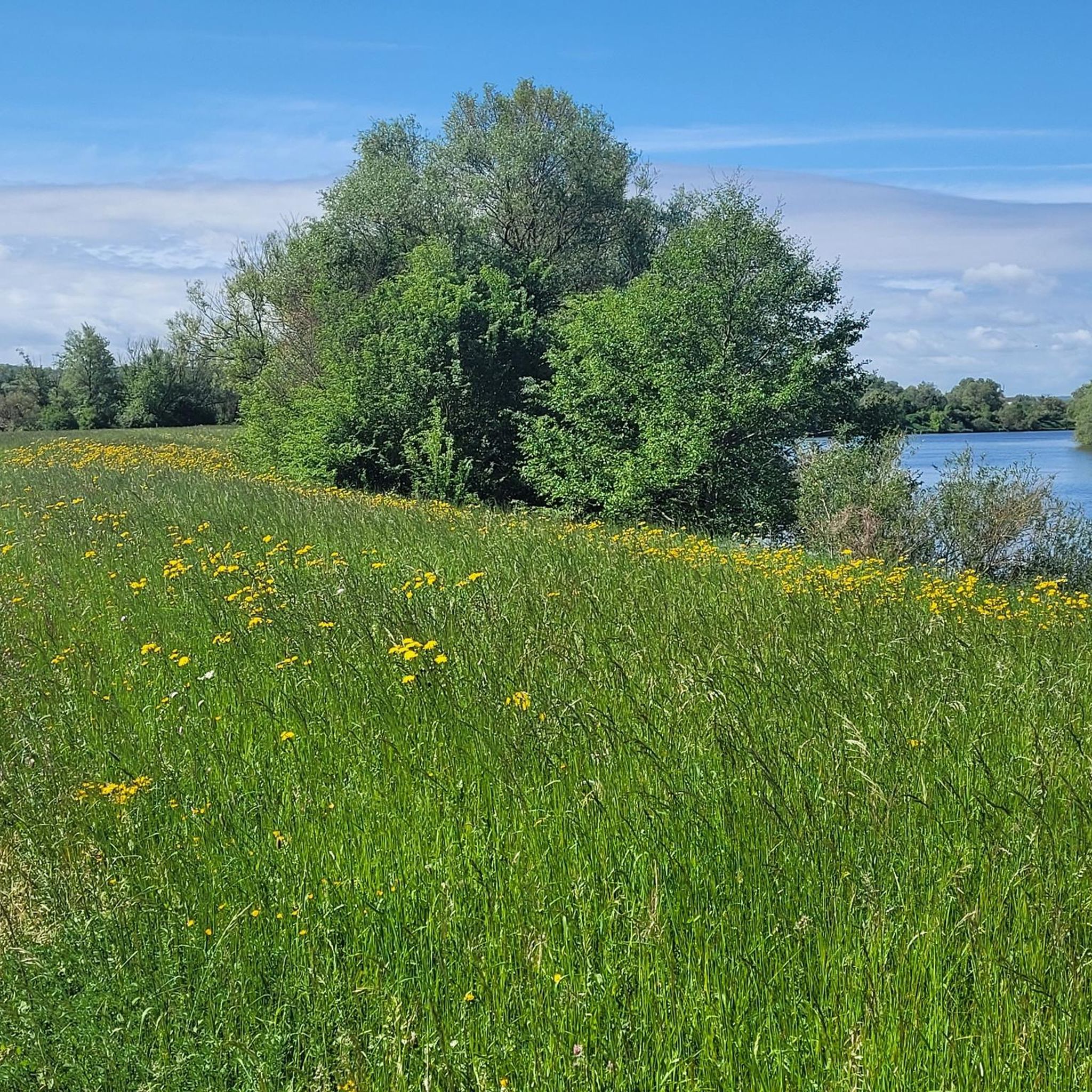
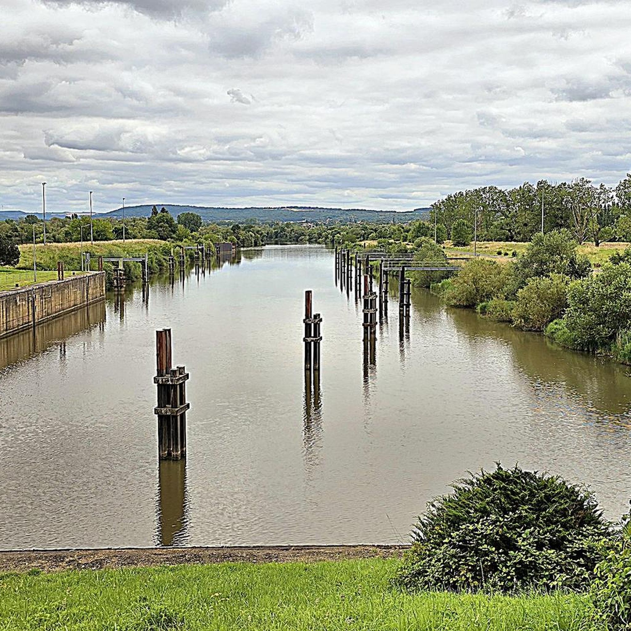

Tips from the Community

I wanted to visit them, but I already turned off into the vineyards at Perl
0
0

last look at the moselle, now heading through luxembourg towards belgium
0
0
now large ships are also sailing on the Moselle
0
0
Destination of the day reached Thionville
0
0

The cycle path rides really well
0
0

A well-developed cycle path, highly recommended! You can follow it from the Luxembourg border to Épinal – at the foot of the Vosges Mountains.
0
0

🌉 **Pont Europe – Thionville's Europe Bridge** The **Pont Europe** spans the Moselle River in the south of Thionville, connecting the city districts with the commercial area and the highway network. With its modern, curved steel structure, it symbolizes the connection between Europe – especially between France, Luxembourg, and Germany. 🚗 The bridge is used by cars, cyclists, and pedestrians alike. Safe paths run along the sides, offering views of the water and passing ships. **Tip:** Ideal for a quick photo stop at sunset – the light then reflects impressively in the Moselle below the bridge.
2
0
Frequently Asked Questions
How many running routes are available in Königsmachern?
There are over 340 running routes around Königsmachern, offering a wide variety of experiences for all fitness levels.
What kind of terrain can I expect on running trails around Königsmachern?
The running routes in Königsmachern feature diverse terrain, including areas with limestone cliffs and woodlands, as well as paths that traverse local countryside and village surroundings. You'll find options ranging from gentle gradients to routes with significant elevation gain.
Are there running routes suitable for beginners or those looking for an easy jog?
Yes, Königsmachern offers 28 easy running routes. These paths typically have gentler gradients, making them ideal for beginners or those seeking a relaxed run.
What do other runners say about the trails in Königsmachern?
The running routes in Königsmachern are highly rated by the komoot community, with an average score of 4.3 stars from over 90 reviews. More than 9000 runners have used komoot to explore the varied terrain, often praising the diverse landscapes and well-maintained paths.
Are there any circular running routes in Königsmachern?
Many of the running routes around Königsmachern are designed as loops. For example, the Running loop from Cattenom and the Running loop from Kœnigsmacker are popular circular options that allow you to start and finish in the same location.
What interesting sights or landmarks can I see while jogging in Königsmachern?
While jogging, you can explore various points of interest. Notable attractions include the Stromberg Limestone Cliffs and the Orchideenpfad. The region also features historical sites like the Castle of the Dukes of Lorraine and the Rodemack Castle, as well as viewpoints such as the Perl Three-Country View.
Are there any challenging running routes with significant elevation gain?
Yes, for experienced runners seeking a challenge, there are 59 difficult routes. The Orchideenpfad – Stromberg Limestone Cliffs loop from Malling is a demanding 27.9-mile trail with over 1150 meters of elevation gain, guiding runners through varied landscapes including limestone cliffs and dense woodlands.
Can I find family-friendly running paths in Königsmachern?
While specific 'family-friendly' designations aren't always available, many of the 28 easy routes with gentler gradients would be suitable for families. These often traverse local countryside and village surroundings, providing a pleasant experience for all ages.
Are there dog-friendly running trails in Königsmachern?
Many natural trails in Königsmachern are suitable for running with dogs, especially those through woodlands and countryside. It's always advisable to keep dogs on a leash, particularly in nature reserves or near livestock, and to check local regulations for specific areas.
Where can I find parking near the running trails in Königsmachern?
While specific parking information for each trail is not detailed, many routes that start from villages or popular attractions typically have designated parking areas nearby. It's recommended to check the starting point of your chosen route for local parking options.
Is public transport available to access running routes in Königsmachern?
Information on specific public transport links directly to trailheads is not provided. However, routes starting from towns or villages like Kœnigsmacker or Cattenom may be accessible via local bus services. We recommend checking regional public transport schedules for connections to these starting points.
Are there places to eat or stay near the running routes in Königsmachern?
Königsmachern and surrounding villages offer local amenities including cafes, pubs, and accommodation options. These can be found in the village centers, providing convenient spots for refreshments or an overnight stay before or after your run.
What's a good moderate-difficulty running route in the area?
A popular moderate option is the Running loop from Cattenom. This 6.6-mile (10.6 km) path offers a relatively flat route through the local countryside and can typically be completed in about 1 hour 5 minutes.
Most popular routes around Königsmachern
Most popular attractions around Königsmachern

Get inspired with the komoot mobile app


Explore more
Browse the best Running Trails & Routes in other regions.
