The best MTB trails around Buxières-Sous-Montaigut
4.7
(7)
51
riders
26
rides
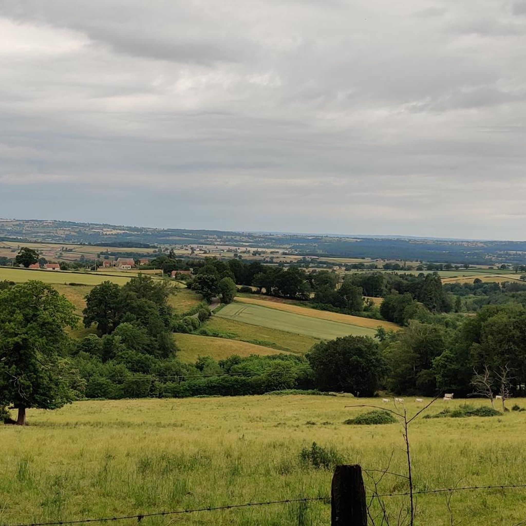
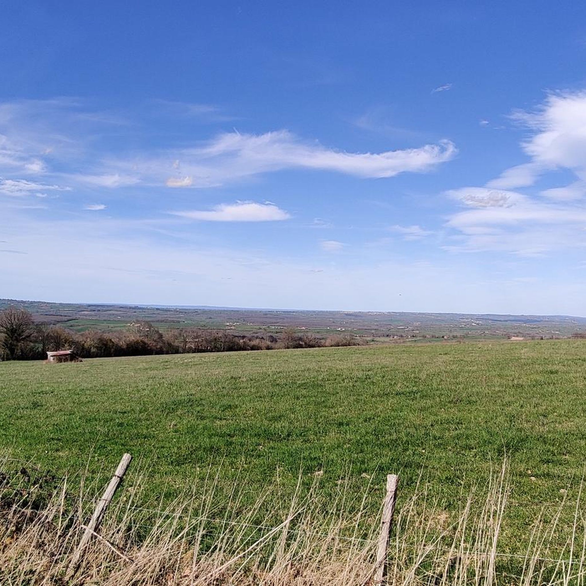
Mountain biking around Buxières-Sous-Montaigut offers diverse terrain within the volcanic landscapes of the Puy-de-Dôme department. The area features varied topography, including volcanic ridges, dense forests, and expansive plateaus, characteristic of the Chaîne des Puys. Riders can expect both steep and gentle slopes, with trails traversing black and red soils and basaltic rocks. This geological heritage provides a dynamic environment for mountain biking.
Best mountain bike trails around Buxières-Sous-Montaigut
- The most popular mountain bike trail is Ferme de l'Eden – Ford…
Last updated: May 20, 2026
5.0
(1)
8
riders
45.1km
03:53
800m
800m
Moderate mountain bike ride. Good fitness required. Advanced riding skills necessary.
4.0
(1)
9
riders
35.4km
02:58
640m
640m
Moderate mountain bike ride. Good fitness required. Advanced riding skills necessary.

Sign up for free
7
riders
33.6km
03:03
690m
690m
Moderate mountain bike ride. Good fitness required. Advanced riding skills necessary.
7
riders
45.2km
03:49
840m
840m
Moderate mountain bike ride. Good fitness required. Suitable for all skill levels.
5.0
(1)
10
riders
40.4km
03:23
690m
690m
Moderate mountain bike ride. Good fitness required. Suitable for all skill levels.
Get access to more routes and recommendations from other explorers.
Sign up for free
Already have an account?
Our route recommendations are based on thousands of hikes, rides, and runs completed by other people on komoot.
Start today with a free account
Your next adventure awaits.
Login or Signup

Tips from the Community

You can't see much from the outside, it's completely closed and currently under construction.
0
0
Very nice leisure site.
0
0
A beautiful church with powerful architecture. The interior has an enormous aisle of pillars. On one of the very high pillars, we find the symbol of a double serpent in the shape of an 8 biting its tail, a symbol of infinity and certainly of the earthly forces that intersect beneath.
0
0
Closed to the alley, I went back there on my way back. A 12th-century church built on a site of energy.
0
0

This is an impressive piece of Auvergne railway heritage, built in 1931. The viaduct is 21 meters long and 122 meters long. It has eight arches.
2
0
on the other hand, do not take this path which is a dead end...
0
0
Frequently Asked Questions
How many mountain bike trails are available around Buxières-Sous-Montaigut?
There are over 20 mountain bike trails around Buxières-Sous-Montaigut. The majority are moderate, with a few challenging options and at least one easy route suitable for less experienced riders.
What kind of terrain will I encounter on mountain bike trails near Buxières-Sous-Montaigut?
You'll experience diverse terrain characteristic of the Puy-de-Dôme's volcanic landscapes. Trails traverse volcanic ridges, dense forests, and expansive plateaus, often featuring black and red soils and basaltic rocks. Expect a mix of both steep and gentle slopes, with many routes offering views of the Auvergne volcanoes.
Are there mountain bike trails suitable for beginners or families in Buxières-Sous-Montaigut?
Yes, the region offers trails suitable for all skill levels, including family-friendly routes with gentle gradients. While most listed routes are moderate, there is at least one easy trail available, and the broader network caters to various experience levels.
What do other mountain bikers enjoy most about the trails in Buxières-Sous-Montaigut?
The area is highly rated by the komoot community, with an average score of 4.7 stars from over 6 reviews. Riders often praise the varied terrain, the scenic views of the Auvergne volcanoes, and the dynamic riding experience offered by the volcanic landscapes.
Are there any circular mountain bike routes available?
Yes, many of the mountain bike routes in the area are circular. For example, you can explore the Ferme de l'Eden – Ford on the Chemin de Laquaire loop from Hyds, which is a popular moderate trail, or the Viaduct de la Cellette – Beautiful view loop from Montaigut-en-Combraille.
What are some notable landmarks or viewpoints I can see while mountain biking?
Mountain bike routes often provide views of the Auvergne volcanoes, including sites like the Puy de Dôme. You might also encounter man-made structures like the Viaduct de la Cellette, visible on routes such as the Viaduct de la Cellette – Beautiful view loop from Montaigut-en-Combraille, or the Eiffel Viaduct, featured in the Blackberry hill tour – Eiffel Viaduct loop from Lapeyrouse.
Are there any interesting natural features or attractions near the mountain bike trails?
Beyond the volcanic landscapes, the region offers diverse natural sites. You can find the Lac de Servant, the Fontaine Saint-Patrocle, and the communal pond of Frontenat. The Sioule river and various springs and waterfalls in the surrounding forests also add to the natural beauty.
What is the typical duration and elevation gain for mountain bike trails in this area?
Trail durations vary, but many moderate routes, like the Ferme de l'Eden – Ford on the Chemin de Laquaire loop from Hyds (42.2 km), take around 3 hours with approximately 545 meters of elevation gain. Longer routes, such as the Montagard Chapel loop from Saint-Éloy-les-Mines (47.4 km), can involve nearly 1000 meters of ascent and take over 4 hours.
Are there any particularly challenging mountain bike routes for experienced riders?
Yes, for experienced riders seeking a challenge, there are difficult routes available. The Montagard Chapel loop from Saint-Éloy-les-Mines is one such option, covering over 47 kilometers with significant elevation gain, offering a demanding ride through varied landscapes.
What are the general characteristics of the mountain biking experience in the Puy-de-Dôme region?
The Puy-de-Dôme region, where Buxières-Sous-Montaigut is located, is known for its extensive trail networks, including parts of the Grande Traversée du Massif Central (GTMC). Riders can expect diverse terrain, from volcanic ridges to dense forests, with services like rest areas and water points along many routes, making it suitable for both day trips and longer excursions.
Are there any specific bridges or viaducts that are points of interest along the trails?
Yes, the area features impressive structures like the Viaduc de la Bouble and the Eiffel Viaduct. The Eiffel Viaduct loop from Lapeyrouse is a moderate trail that allows you to experience the landscapes around this notable landmark.
Most popular routes around Buxières-Sous-Montaigut
Most popular attractions around Buxières-Sous-Montaigut

Get inspired with the komoot mobile app


Explore more
Browse the best MTB trails in other regions.
