The best walks and hikes around Montois-La-Montagne
4.5
(467)
2,151
hikers
221
hikes
Hiking around Montois-La-Montagne offers diverse natural landscapes and an extensive network of trails. The region is characterized by varied topography, with elevations ranging from 174 to 330 meters, providing engaging routes. Hikers can explore state forests like the Forêt Domaniale de Moyeuvre-Grande and tranquil natural ponds such as L'étang du Tivoli and Plan d'Eau de la Sangsue. These features create a rich woodland experience with paths winding through fields and alongside water bodies.
Best hiking trails around Montois-La-Montagne
- The most…
Last updated: May 25, 2026
2.0
(1)
16
hikers
6.54km
01:52
140m
140m
Easy hike. Great for any fitness level. Easily-accessible paths. Suitable for all skill levels.
5.0
(3)
15
hikers
25.8km
07:00
370m
370m
Hard hike. Very good fitness required. Easily-accessible paths. Suitable for all skill levels.

Sign up for free
4.0
(1)
10
hikers
24.5km
06:55
470m
470m
Hard hike. Very good fitness required. Easily-accessible paths. Suitable for all skill levels.
5.0
(2)
4
hikers
4.09km
01:03
20m
20m
Easy hike. Great for any fitness level. Easily-accessible paths. Suitable for all skill levels.
5.0
(1)
3
hikers
8.52km
02:15
80m
80m
Moderate hike. Good fitness required. Easily-accessible paths. Suitable for all skill levels.
Get access to more routes and recommendations from other explorers.
Sign up for free
Already have an account?
Our route recommendations are based on thousands of hikes, rides, and runs completed by other people on komoot.
Start today with a free account
Your next adventure awaits.
Login or Signup



Tips from the Community

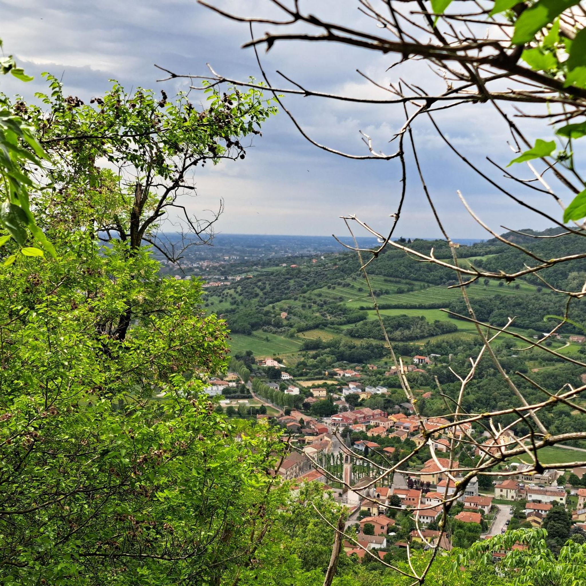
You're absolutely right – the tower in the picture is clearly made of metal, not wood. Thanks for pointing that out. Here's the corrected version: --- 🗼 Observation tower near Pierrevillers – A steel view Rising in the middle of the forest near Pierrevillers, a metal observation tower, with its open structure, offers a panoramic view of the Moselle Valley, the surrounding hills, and, on a clear day, even as far as Luxembourg. 🔩 The solid steel structure is accessible via several platforms and stairs and, despite its height, appears delicately embedded in the natural surroundings. **Tip:** Ideal in good weather – the view from the top is worth every climb and is perfect for a quiet moment or impressive photos.
1
1

Standing 25 metres high and at an altitude of 390 metres, the Drince Tower offers a view of the Metz urban area and its surroundings. In good weather, you can even see the Ardennes, Luxembourg and Belgium. A beautiful view to relax after the climb.
1
0

⚠️Attention ⚠️: this part is not accessible to everyone.
2
0


This tower is essential, even in the race. Take a moment to do some interval training on the steps of the tower and reward yourself with taking in the views from the top of the tower.
4
0
A beautiful pond to explore with a trail to match.
3
0
The view from this tower is breathtaking.
6
0
Among the trees, this pond is an important point of interest.
6
0
Frequently Asked Questions
How many hiking trails are available around Montois-La-Montagne?
Montois-La-Montagne offers an extensive network of over 180 hiking trails. These routes cater to various preferences, from easy strolls through woodlands to more challenging climbs.
What kind of terrain can I expect on the hikes in Montois-La-Montagne?
The region features varied topography, with elevations ranging from 174 to 330 meters. You can expect paths winding through dense state forests like the Forêt Domaniale de Moyeuvre-Grande, alongside tranquil ponds, and across open fields, providing a diverse hiking experience.
Are there easy hikes suitable for beginners or casual walkers?
Yes, Montois-La-Montagne has plenty of easy routes. Approximately 66 of the trails are rated as easy. A good option is the Drince Hill loop from Malancourt-la-Montagne, an accessible 4.7-mile (7.5 km) path that explores the area around Drince Hill.
Can I find circular walks in Montois-La-Montagne?
Many of the hiking routes in Montois-La-Montagne are designed as circular walks, allowing you to start and end at the same point. For example, the Lake – Water level loop from Malancourt-la-Montagne is a 4.0-mile (6.4 km) circular trail that takes you around the lake.
What natural features or landmarks can I see along the hiking trails?
Hikers can explore several natural attractions. You'll find serene ponds like Plan d'Eau de la Sangsue and Tivoli Pond, often integrated into forest treks. The extensive Forêt Domaniale de Moyeuvre-Grande also offers shaded paths and a rich woodland experience.
Are the trails in Montois-La-Montagne suitable for families with children?
Yes, many trails are suitable for families. The diverse network includes numerous easy routes and forest paths that are perfect for leisurely walks with children. The tranquil ponds and varied landscapes provide engaging scenery for all ages.
Are there any challenging hikes for experienced hikers?
Absolutely. For those seeking a more strenuous adventure, there are 9 difficult routes available. A notable challenging option is the Vue sur Ranguevaux – Climb to Tivoli loop from Moyeuvre-Grande, a 16.1-mile (26.0 km) path that includes a significant climb and varied terrain.
What do other hikers say about the trails in Montois-La-Montagne?
The routes in Montois-La-Montagne are highly rated by the komoot community, with an average score of 4.5 stars from over 350 reviews. Hikers often praise the diverse natural landscapes, the well-maintained trails, and the peaceful atmosphere of the woodlands and ponds.
Is there public transport access to the trailheads?
While Montois-La-Montagne is accessible, specific public transport connections directly to every trailhead can vary. It's advisable to check local bus schedules or regional transport options to plan your journey to the starting points of your chosen hikes.
Where can I park when hiking in Montois-La-Montagne?
Parking is generally available near popular trailheads and points of interest within Montois-La-Montagne and surrounding villages. Look for designated parking areas close to natural sites like L'étang du Tivoli or the Forêt Domaniale de Moyeuvre-Grande.
What is the best time of year to hike in Montois-La-Montagne?
Montois-La-Montagne offers pleasant hiking experiences throughout much of the year. Spring and autumn provide comfortable temperatures and beautiful scenery with blooming flora or vibrant fall foliage. Summer is also popular, especially for shaded forest paths, while winter hikes can offer a unique, tranquil experience, though some paths might be muddy or icy.
Are there any long-distance trails that pass through the area?
Yes, sections of the long-distance GR®5F path are incorporated into some of the local forest treks, particularly those starting from locations like the Tréhémont farm-stable, offering opportunities for extended walks.
Are there other interesting places to explore nearby?
Beyond the hiking trails, you can visit other natural bodies of water like Coulange Wood Lake, which offers additional opportunities to immerse yourself in nature. The area also features the Church of Mance as a historical point of interest.
Most popular routes around Montois-La-Montagne
Most popular attractions around Montois-La-Montagne

Get inspired with the komoot mobile app


Explore more
Browse the best Hikes in other regions.
