The best walks and hikes around Obergailbach
4.5
(3380)
13,465
hikers
660
hikes
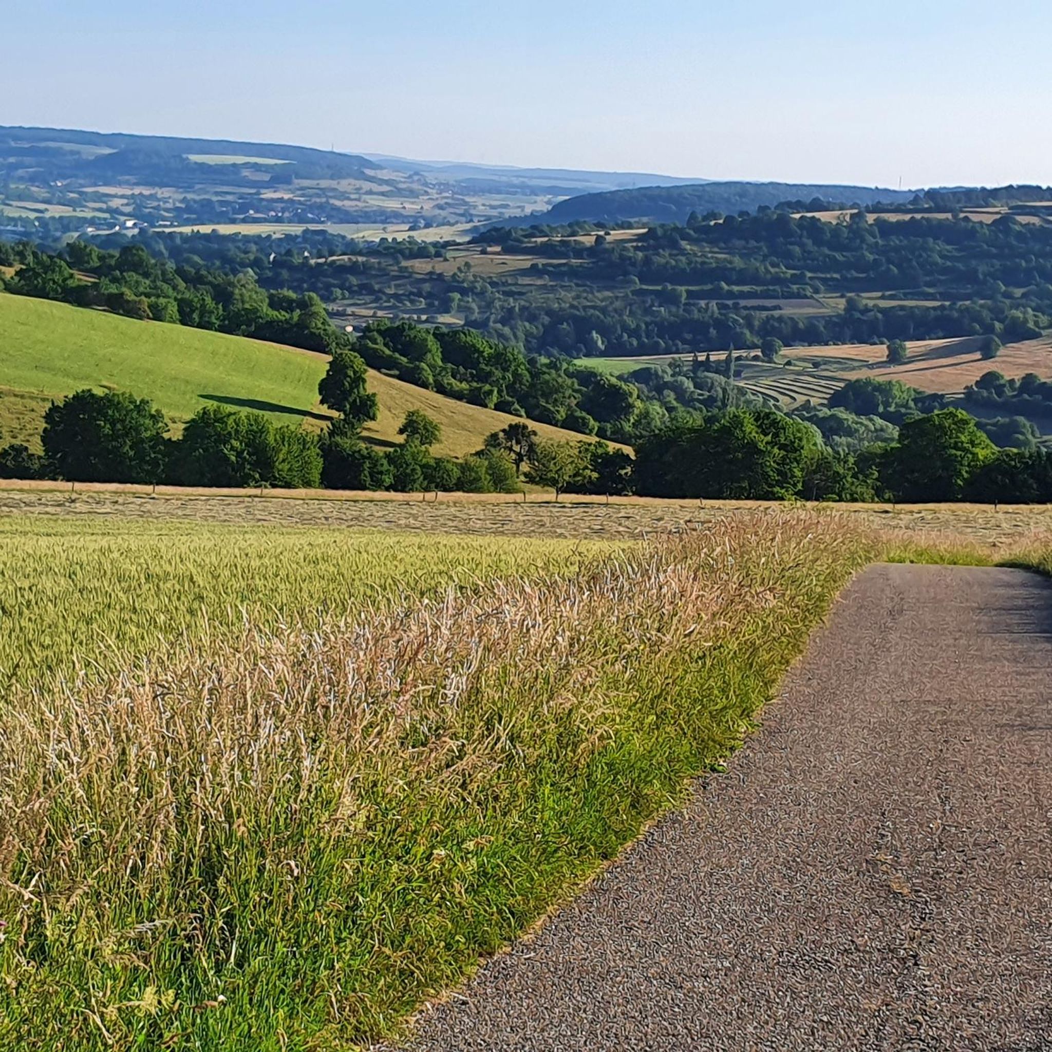
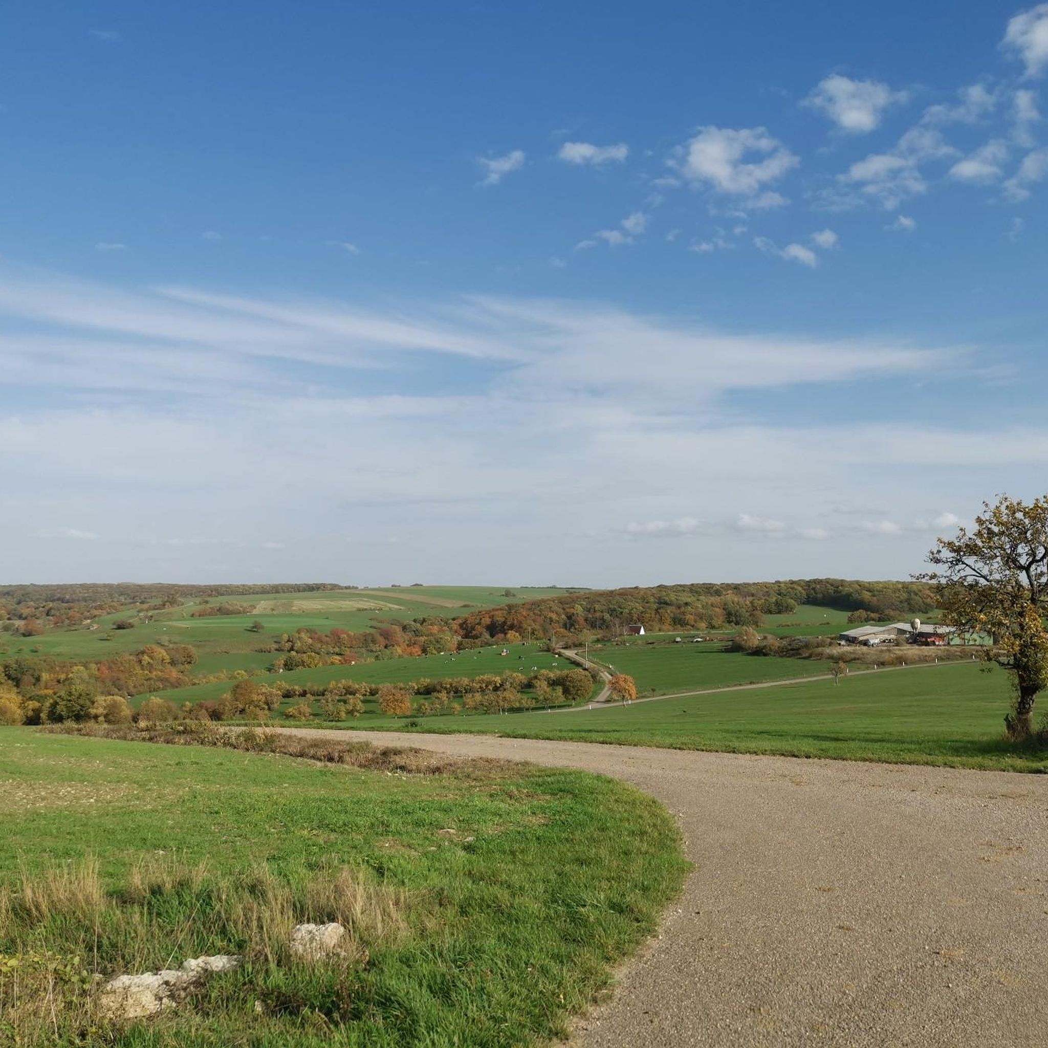
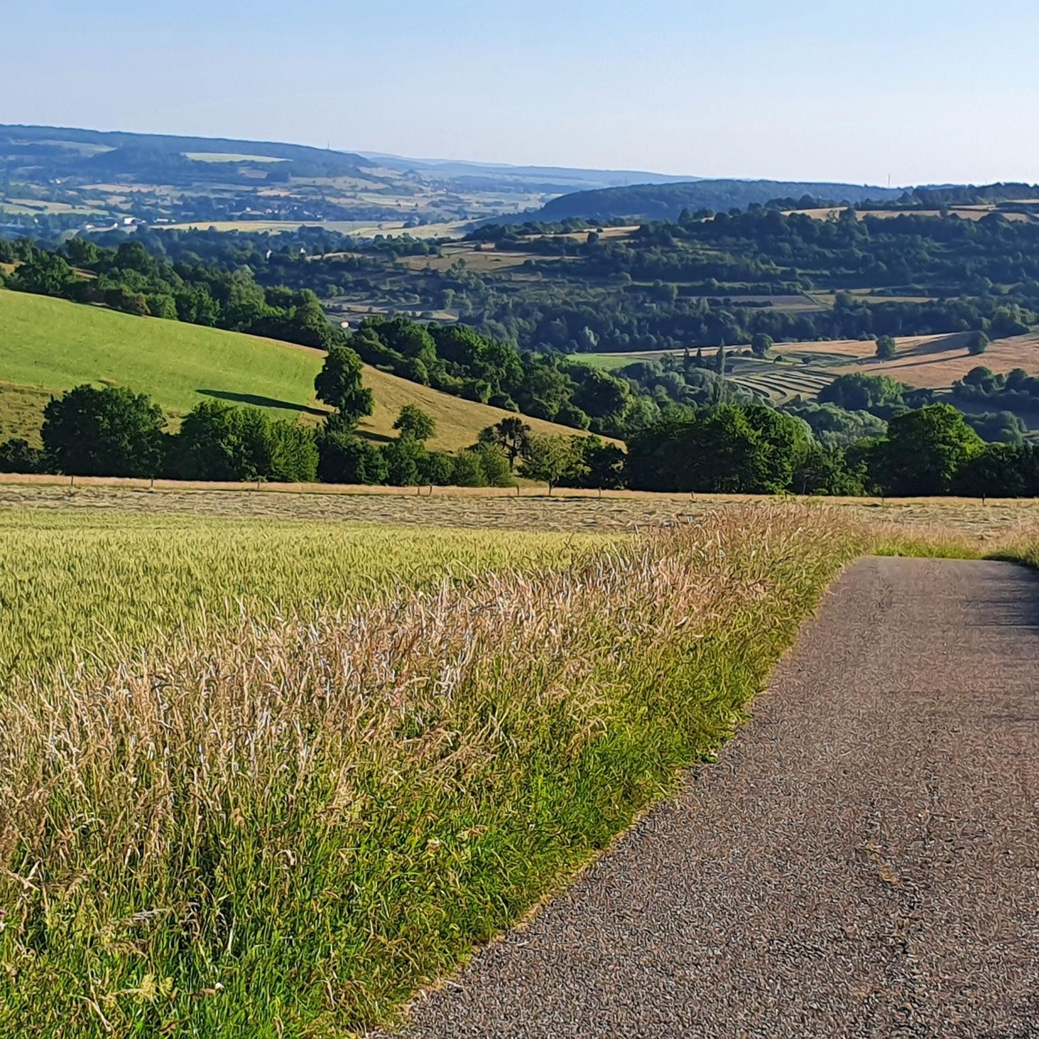
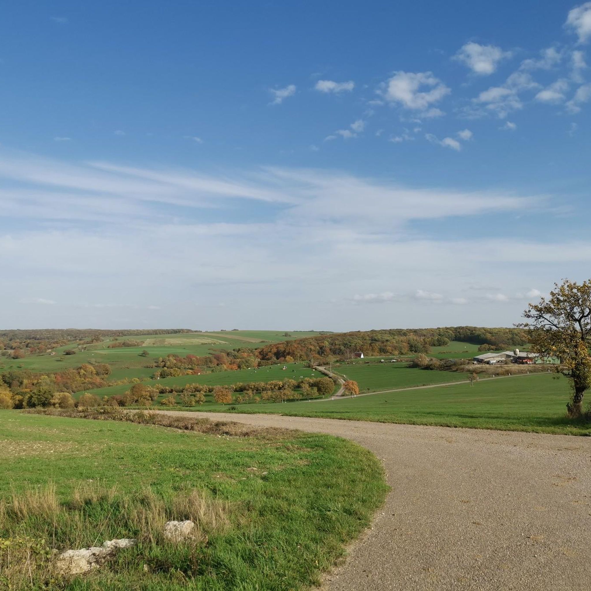
Hiking around Obergailbach offers diverse landscapes within France's Grand Est region. The area is situated within the Northern Vosges Regional Nature Park, a UNESCO Biosphere Reserve, characterized by rolling terrain, agricultural land, and extensive forests. The region also features picturesque waterside trails along the Blies River and the Saar Coal Canal. This varied terrain provides a range of hiking experiences for different skill levels.
Best hiking trails around Obergailbach
- The most popular hiking route is View of France – Medelsheim…
Last updated: October 4, 2026
4.6
(16)
44
hikers
7.36km
01:58
80m
80m
Easy hike. Great for any fitness level. Easily-accessible paths. Suitable for all skill levels.
4.0
(7)
15
hikers
8.87km
02:29
180m
180m
Moderate hike. Good fitness required. Easily-accessible paths. Suitable for all skill levels.

16
hikers
Easy hike. Great for any fitness level. Easily-accessible paths. Suitable for all skill levels.
2.5
(2)
11
hikers
6.21km
01:44
120m
120m
Easy hike. Great for any fitness level. Easily-accessible paths. Suitable for all skill levels.
3.0
(1)
15
hikers
Easy hike. Great for any fitness level. Easily-accessible paths. Suitable for all skill levels.
Get access to more routes and recommendations from other explorers.
Already have an account?
Our route recommendations are based on thousands of hikes, rides, and runs completed by other people on komoot.
Start today with a free account
Your next adventure awaits.
Tips from the Community

Very nice tour through the Bliesgau.
0
0
Very nice tour through the Bliesgau
0
0

A perfect place if you like to be eaten by mosquitoes.
0
0

Borderland Trail... original and challenging 👍🏻👍🏻👍🏻
0
0

You have a beautiful view over the Roman villa
0
0
It's worth taking a look at the small museums, where many of the finds can be found.
0
0
The actual site of the three burial mounds is a bit further away, where the small lake is today. The mounds were artificially raised. One of the mounds is accessible, and the grave has been reconstructed. (When the pavilion isn't currently being renovated, 2025)
0
0
Frequently Asked Questions
How many hiking trails are available around Obergailbach?
There are over 640 hiking routes in the Obergailbach area, offering a wide range of options for different skill levels and preferences. This includes over 360 easy routes, 260 moderate routes, and 20 more challenging trails.
What kind of terrain can I expect on hikes around Obergailbach?
The terrain around Obergailbach is characterized by rolling hills, extensive forests, and agricultural land. You'll also find picturesque waterside paths along the Blies River and the Saar Coal Canal. The region is part of the Northern Vosges Regional Nature Park, a UNESCO Biosphere Reserve, ensuring varied and scenic landscapes.
Are there any family-friendly hiking options in Obergailbach?
Yes, many routes are suitable for families. For example, the View of France – Medelsheim Chapel loop from Baumbusch is an easy 7.4 km trail with manageable elevation, offering pleasant views that can be enjoyed by all ages.
Can I find circular hiking routes near Obergailbach?
Yes, many of the trails around Obergailbach are designed as circular routes, allowing you to start and end at the same point. An example is the Notre-Dame – Vue sur Utweiler et Riesweiler loop from Obergailbach, a moderate 9 km path that offers varied ecosystems and scenic views.
What natural features or landmarks can I see while hiking in Obergailbach?
Hikers can explore diverse natural features within the Northern Vosges Regional Nature Park. You might encounter the Blies River and Saar Coal Canal, offering waterside trails. For specific points of interest, consider visiting Rubenheimer Weiher or Becherweiher, both nearby lakes that provide tranquil spots along your journey.
Are there any historical sites or cultural points of interest along the trails?
Yes, some routes incorporate historical elements. The Niedergailbach Church – Princess's tomb in Reinheim loop from Obergailbach, for instance, leads past the 'Princess's tomb in Reinheim', offering a glimpse into the region's past. The broader area also has an interesting geological history with local fossil finds.
What do other hikers enjoy most about hiking in Obergailbach?
The trails in Obergailbach are highly rated by the komoot community, with an average score of 4.5 stars from over 2,700 reviews. Hikers often praise the diverse landscapes, the well-maintained paths, and the opportunity to experience both natural beauty and cultural points of interest.
Are there any easy hikes for beginners or those looking for a relaxed walk?
Absolutely. Over 360 of the routes in Obergailbach are classified as easy. A good option for a relaxed walk is the Old Oak Near Blechener Müller – Mardelle Schwefelspfuhl loop from Baumbusch, which is just over 4.5 km with minimal elevation gain.
Are there any hikes with good viewpoints in the Obergailbach area?
Yes, the rolling terrain of the region often provides scenic vistas. The View of France – Medelsheim Chapel loop from Baumbusch is specifically noted for offering views across to neighboring Germany, showcasing the cross-border beauty of the area.
Is it possible to find parking near the hiking trailheads in Obergailbach?
While specific parking details vary by trailhead, Obergailbach is a commune with local infrastructure. It is generally possible to find parking in or near the villages that serve as starting points for many of the region's hiking routes.
Are there any longer or more challenging hikes for experienced hikers?
For those seeking a greater challenge, Obergailbach offers 22 difficult routes. Additionally, the region is part of the Biosphere Bliesgau, which includes longer regional routes like sections of the 'Friendship Path' that can span nearly 20 kilometers.
What is the best time of year to go hiking in Obergailbach?
The diverse landscapes of Obergailbach, with its forests and agricultural lands, make it suitable for hiking across multiple seasons. Spring and autumn offer pleasant temperatures and vibrant scenery, while summer provides longer daylight hours. Winter hiking is also possible, though conditions may vary.
Most popular routes around Obergailbach
Most popular attractions around Obergailbach

Get inspired with the komoot mobile app


Explore more
Browse the best Hikes in other regions.
