The best walks and hikes around Biglen
4.5
(1144)
7,444
hikers
371
hikes
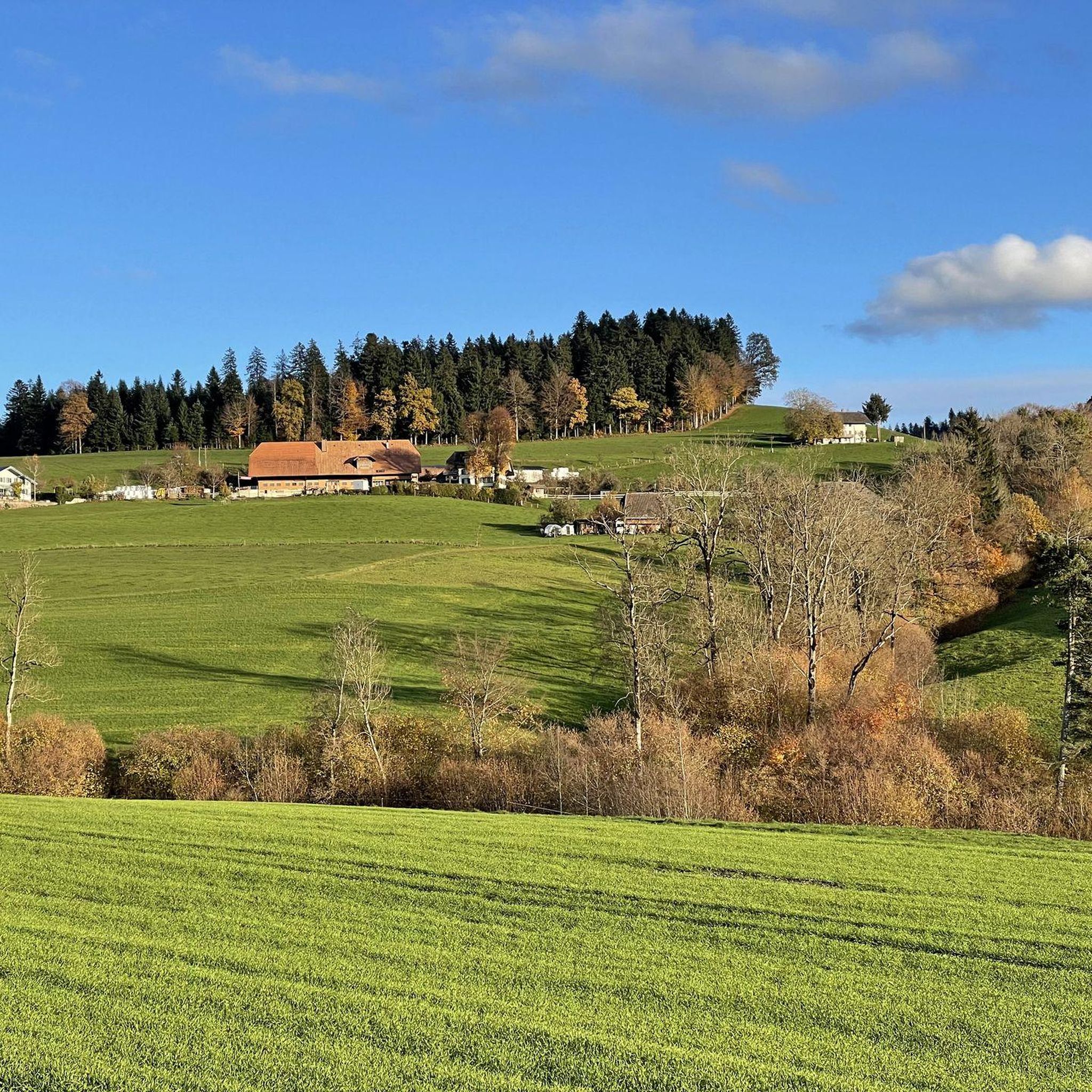
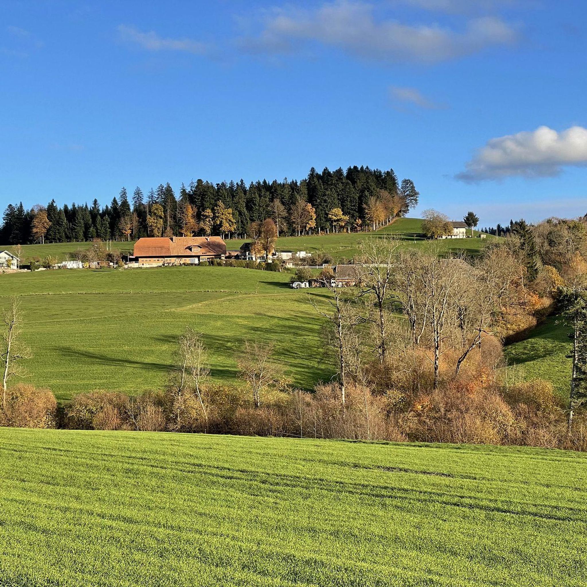
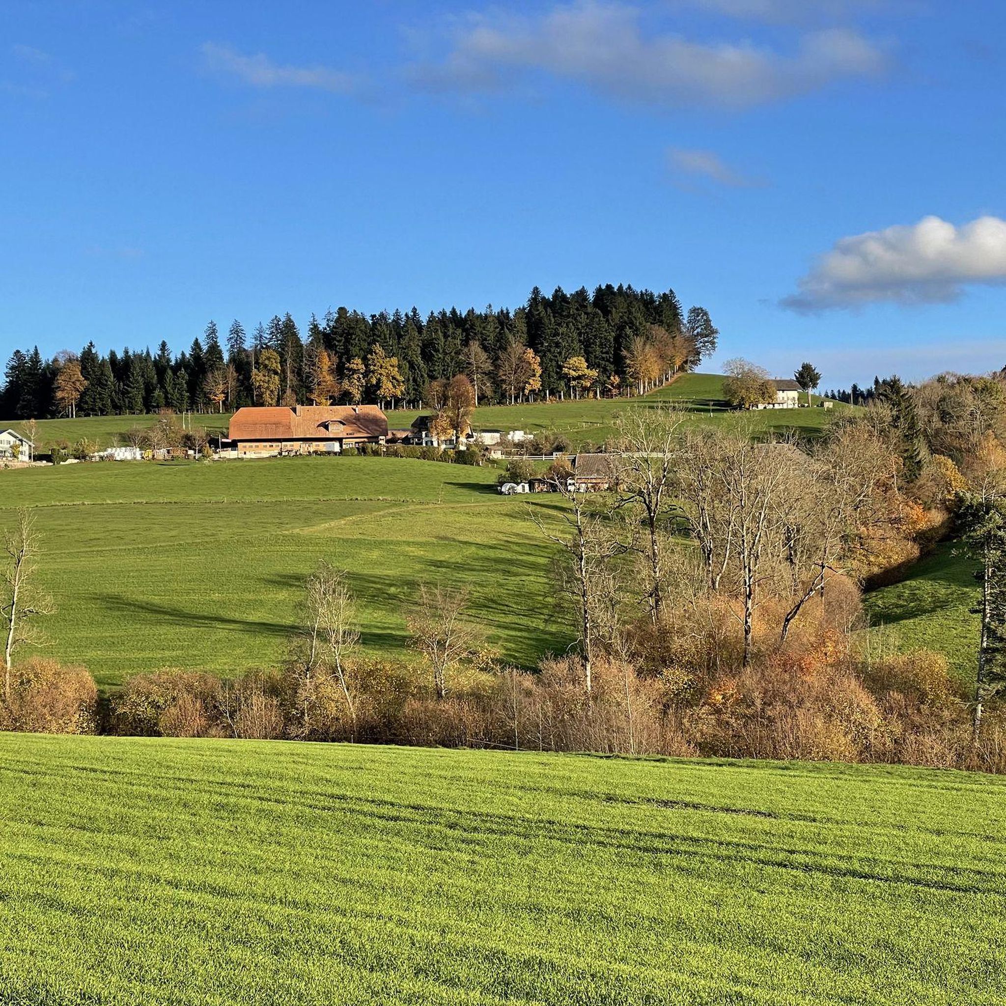
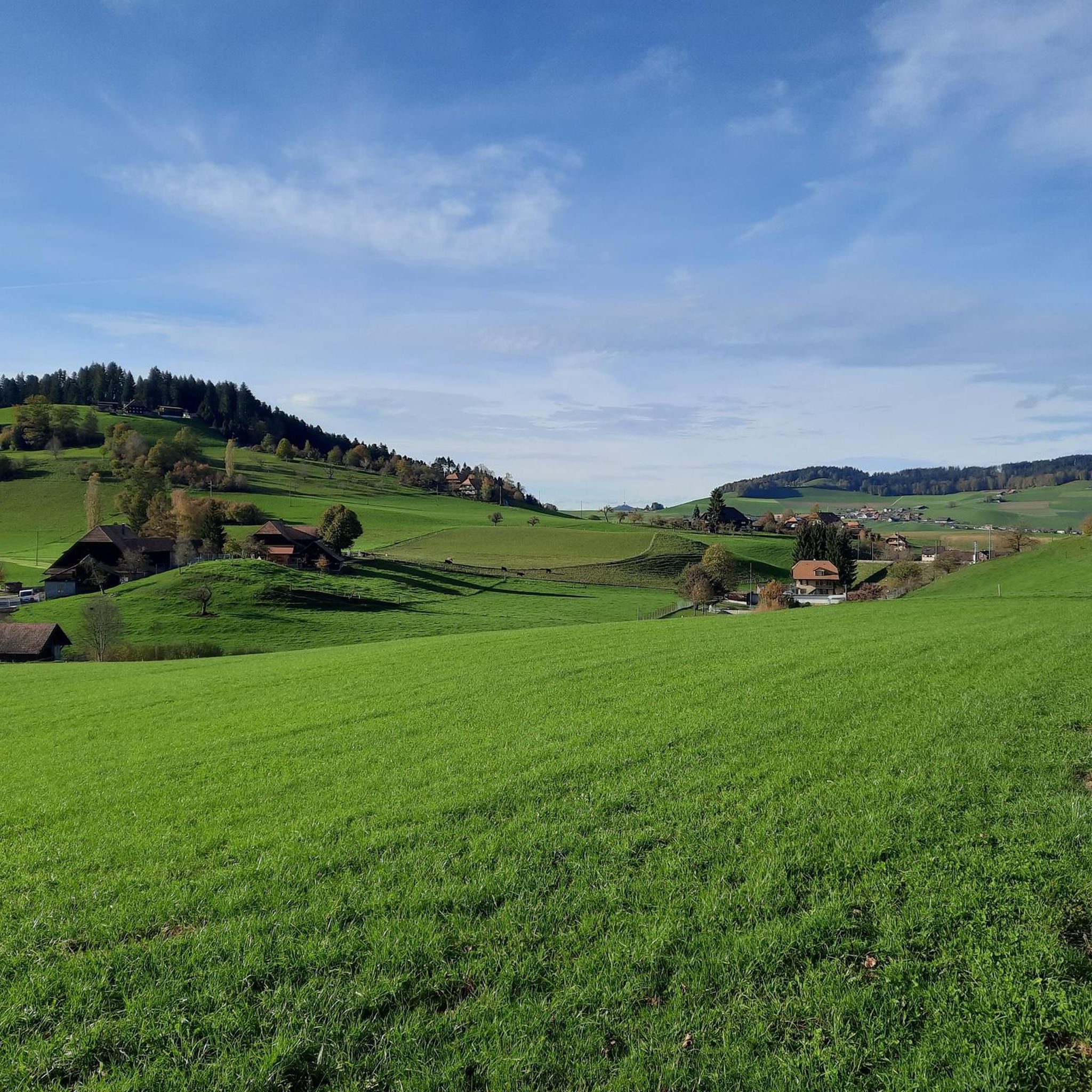
Hiking around Biglen offers diverse trails through a landscape characterized by rolling hills, picturesque valleys, dense forests, and green meadows. The region features the Biglenbach stream and provides panoramic views of the Bernese Alps, Emmental, and Jura mountains from various vantage points. Trails often involve ascents and descents, catering to different hiking preferences.
Best hiking trails around Biglen
- The most popular hiking route is Mossy Forest loop from Arni BE, a 6.4 miles (10.2 km) moderate trail that takes about 3 hours to complete, leading through varied woodland terrain.
- Another top favourite among local hikers is Emmental Countryside loop from Grosshöchstetten, a moderate 4.2 miles (6.8 km) path. This route showcases the scenic Emmental countryside with its characteristic rolling hills and meadows.
- Local hikers also love the Wyl Castle loop from Biglen, a 4.8 miles (7.7 km) trail leading through the local landscape, often completed in about 2 hours.
- Hiking around Biglen is defined by rolling hills, picturesque valleys, and dense forests, offering impressive mountain vistas. The extensive network provides options for various ability levels, from gentle walks to more demanding ascents.
- The routes in Biglen are highly rated by the komoot community with an average score of 4.6 stars from over 900 reviews. More than 7000 hikers have used komoot to explore Biglen's varied terrain.
Last updated: September 30, 2026
4.8
(5)
30
hikers
10.3km
02:59
270m
270m
Moderate hike. Good fitness required. Easily-accessible paths. Suitable for all skill levels.
15
hikers
6.64km
02:01
210m
210m
Moderate hike. Good fitness required. Easily-accessible paths. Suitable for all skill levels.

8
hikers
17.9km
05:03
370m
370m
Hard hike. Very good fitness required. Easily-accessible paths. Suitable for all skill levels.
4.0
(2)
29
hikers
7.97km
02:08
90m
90m
Moderate hike. Good fitness required. Easily-accessible paths. Suitable for all skill levels.
2
hikers
8.16km
02:32
270m
270m
Moderate hike. Good fitness required. Easily-accessible paths. Suitable for all skill levels.
Get access to more routes and recommendations from other explorers.
Already have an account?
Our route recommendations are based on thousands of hikes, rides, and runs completed by other people on komoot.
Start today with a free account
Your next adventure awaits.

Tips from the Community


The regulars' table is a great place to linger. However, you'll need to bring your own drinks. 😉
0
0


Beautiful views of the Bernese Alps and the Jura.
0
0

If you take the route north-east, it's a very steep climb up here from the Oberthal side - over 20%. But the views are magnificent and from here on it's practically flat with slight undulations up and down.
0
0


Very well maintained castle and garden. Also a very beautiful view towards the west and the Stockhorn range.
0
0

From here nice view towards Bern
1
0
Frequently Asked Questions
How many hiking trails are available around Biglen?
Biglen offers an extensive network of over 370 hiking trails. These routes cater to a wide range of preferences, from leisurely strolls through picturesque valleys to more demanding ascents in the rolling hills.
What is the general difficulty level of hiking trails in Biglen?
The hiking trails around Biglen are predominantly easy to moderate, with 193 easy and 175 moderate routes. There are also 11 more challenging trails for experienced hikers seeking greater ascents and descents.
Are there any family-friendly hiking routes in Biglen?
Yes, Biglen is well-suited for family outings. Many trails offer gentle walks through woodlands and meadows, providing a pleasant experience for all ages. Look for routes with minimal elevation gain for the easiest options.
Can I find circular hiking routes in Biglen?
Absolutely. Many of the trails in Biglen are designed as circular routes, allowing you to start and end at the same point. A notable example is the idyllic circular trail around Biglen Lake, praised for its picturesque scenery. You can also explore the Wyl Castle loop from Biglen, which is a popular choice.
What kind of views can I expect on hikes around Biglen?
Hikers in Biglen can enjoy impressive panoramic views. The region offers vistas of the Bernese Alps, the Emmental, and the Jura mountains. For a truly phenomenal 360° panorama, consider a hike that includes the Chutzen Summit on the Belpberg ridge.
Are there any notable natural landmarks or attractions to see along the trails?
Yes, Biglen's natural landscape is rich with features. You might encounter the Biglenbach stream, which adds to the area's hydrology. For specific natural highlights, consider visiting the Märchligenau Waterfall or the Ballenbühl Viewpoint.
Are there historical sites or castles accessible by hiking in Biglen?
Yes, the region has historical points of interest. You can explore the Wyl Castle, or discover the remains of the 12th-century Hohburg Castle ruins near the path to Chutzen. The well-preserved Auguet Bridge, a covered wooden bridge, is also a notable historical feature.
What do other hikers enjoy most about hiking in Biglen?
The area is highly rated by the komoot community, with an average score of 4.6 stars from over 900 reviews. Hikers frequently praise the diverse terrain, from rolling hills and dense forests to green meadows, and the impressive mountain vistas. The extensive network of trails also receives positive feedback for catering to various ability levels.
Are there any trails that lead to viewpoints or scenic overlooks?
Definitely. Besides the Chutzen Summit, which offers expansive views, the Mänziwilegg Viewpoint loop from Walkringen is a great option for scenic overlooks. The Bantiger Observation Tower also provides wonderful views towards Worb, Stettlen, Ostermundigen, and Bern.
Can I find places to eat or stay overnight along the hiking routes?
Throughout the hiking tours in Biglen, you will encounter charming mountain huts. These huts often offer regional dishes for refreshments and some provide cozy overnight accommodations, allowing you to extend your hiking adventure with views of the majestic peaks.
What is a good moderate hike to experience the Emmental countryside?
For a scenic experience of the Emmental countryside, consider the Emmental Countryside loop from Grosshöchstetten. This moderate 4.2-mile (6.8 km) path showcases the characteristic rolling hills and meadows of the region.
Are there any longer, moderate hikes available in the area?
Yes, for a longer moderate hike, the Mossy Forest – Geissrügge loop from Arni BE is an excellent choice. This trail covers approximately 10.6 miles (17.2 km) and offers varied terrain through the local landscape.
Most popular attractions around Biglen

Get inspired with the komoot mobile app


Explore more
Browse the best Hikes in other regions.
