The best walks and hikes around Freney
4.5
(786)
8,367
hikers
222
hikes
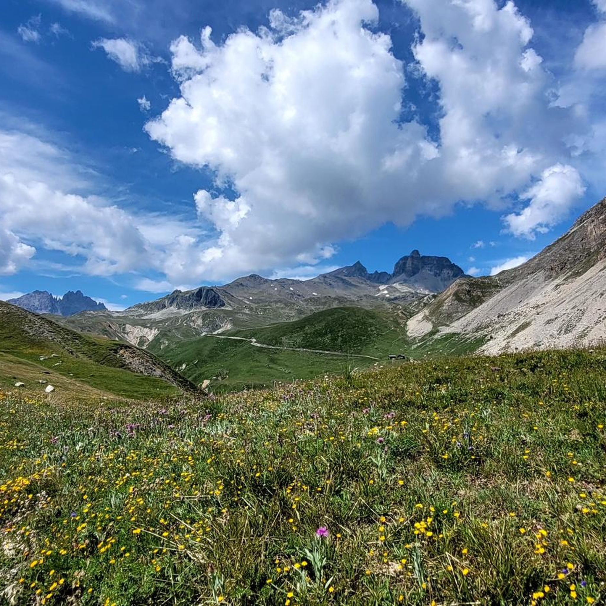
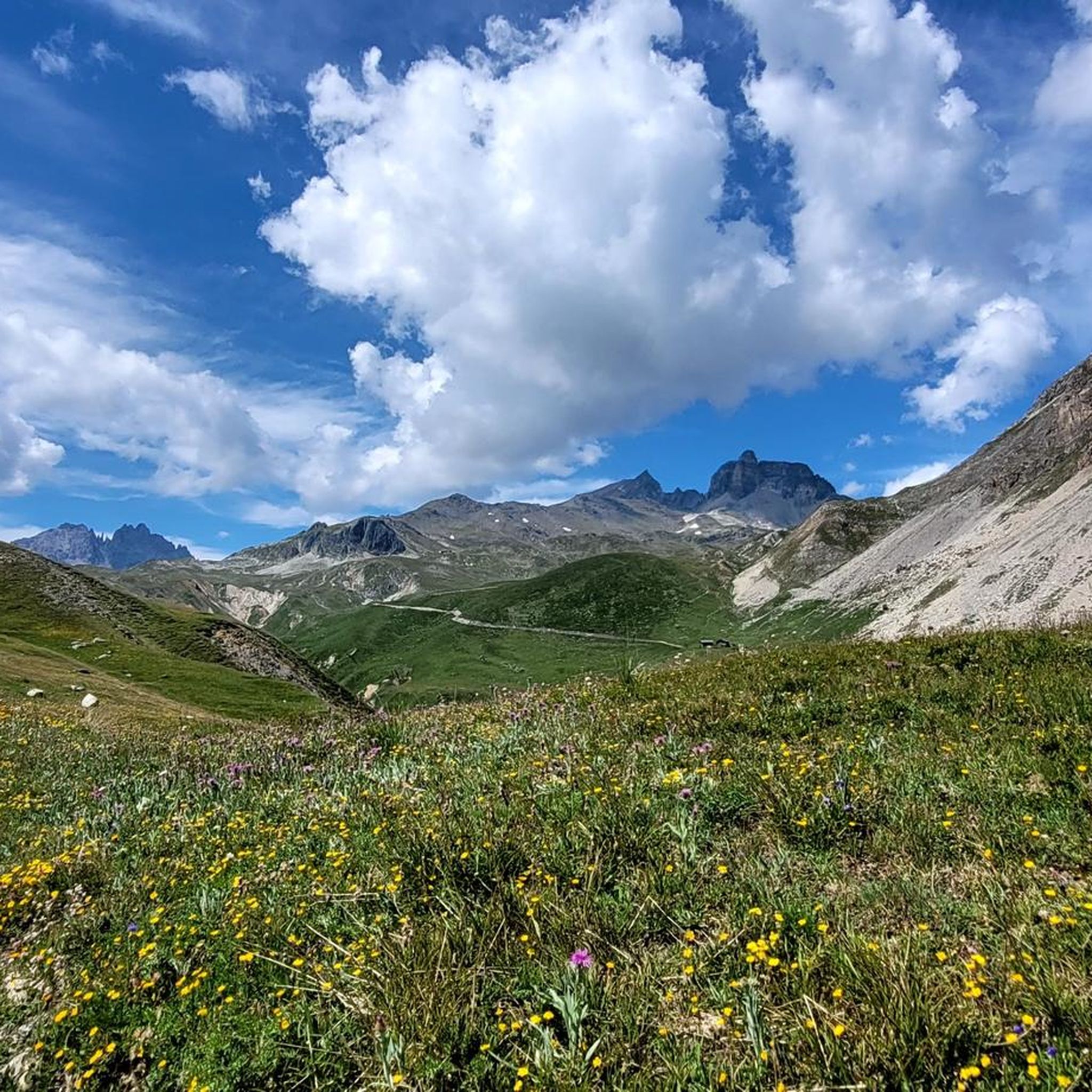
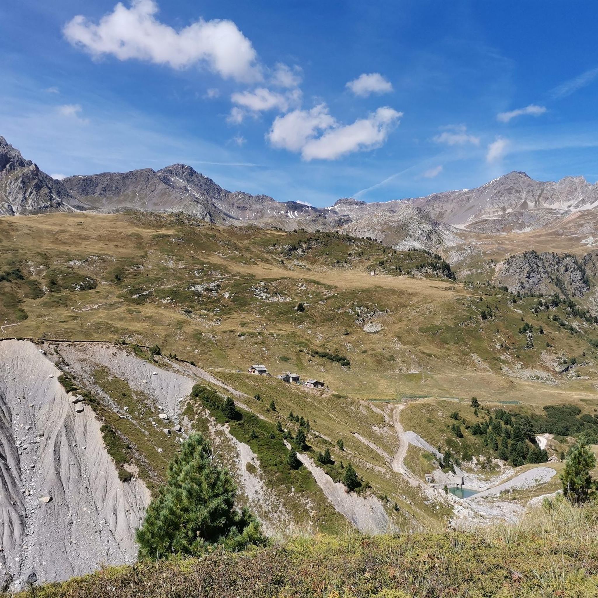
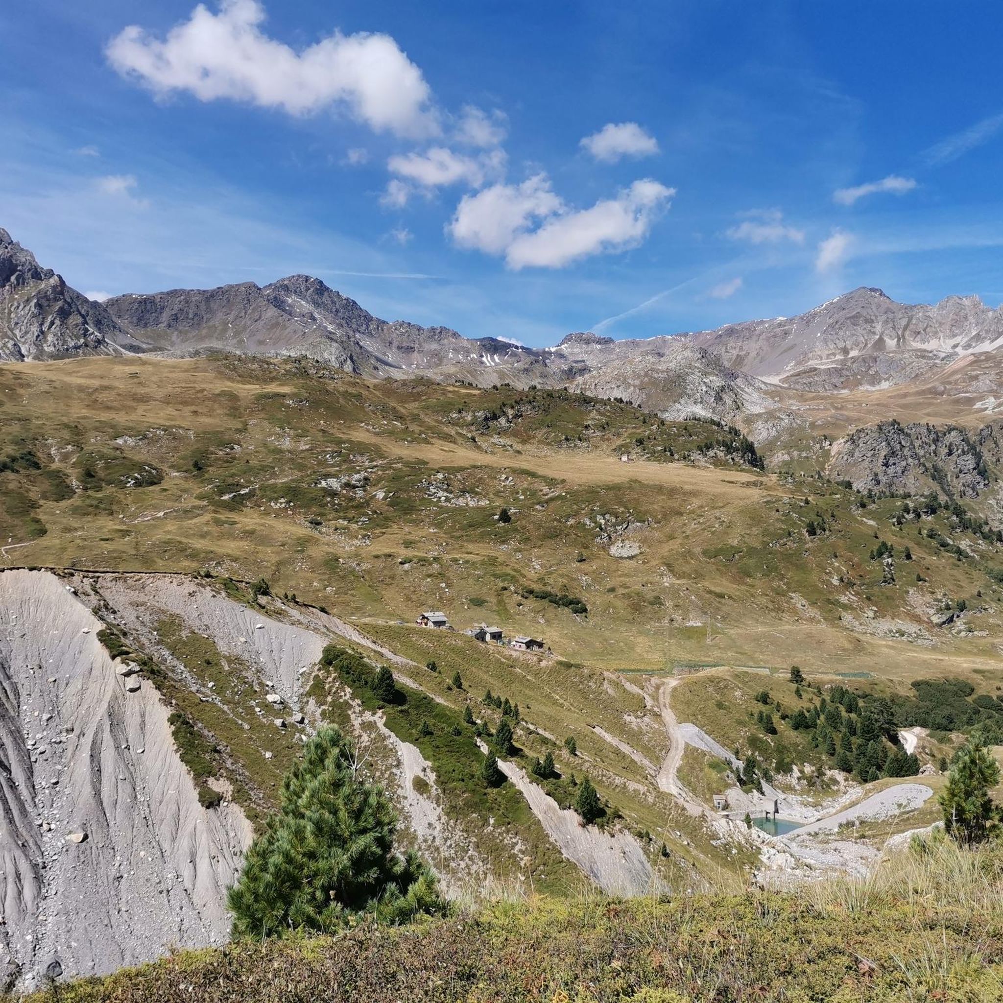
Hiking around Freney offers a network of trails through an alpine environment, characterized by significant elevation changes and varied terrain. The region features high mountain passes, deep valleys, and routes that traverse both forested areas and open, rocky landscapes. Hikers can expect paths ranging from gentle slopes to challenging ascents.
Best hiking trails around Freney
- The most popular hiking route is Mount Thabor - Massif des Cerces, a 13.9 miles (22.3 km) trail that takes 7 hours 6 minutes…
Last updated: July 28, 2026
4.3
(4)
20
hikers
13.3km
05:03
790m
790m
Hard hike. Very good fitness required. Mostly accessible paths. Sure-footedness required.
3.5
(2)
36
hikers
6.51km
01:56
180m
180m
Easy hike. Great for any fitness level. Easily-accessible paths. Suitable for all skill levels.

Sign up for free
4.0
(1)
15
hikers
5.47km
01:51
280m
290m
Easy hike. Great for any fitness level. Easily-accessible paths. Suitable for all skill levels.
19
hikers
15.0km
05:28
690m
690m
Hard hike. Very good fitness required. Mostly accessible paths. Sure-footedness required.
4.0
(1)
13
hikers
5.80km
01:59
310m
310m
Moderate hike. Good fitness required. Easily-accessible paths. Suitable for all skill levels.
Get access to more routes and recommendations from other explorers.
Sign up for free
Already have an account?
Our route recommendations are based on thousands of hikes, rides, and runs completed by other people on komoot.
Start today with a free account
Your next adventure awaits.
Login or Signup

Tips from the Community


Perched at an altitude of 1,210 meters, Fort du Replaton is an Alpine fort located above Modane. It was built at the end of the 19th century to monitor the entrance to the Fréjus tunnel.
0
0

This is a superb wooden refuge. Friendly atmosphere, exceptional panorama of the mountains, beautiful terraces where you can enjoy a good meal or a drink. What more could you ask for?
0
0
Frequently Asked Questions
How many hiking trails are available around Freney?
Freney offers a comprehensive network of over 200 hiking routes. These trails cater to various skill levels, from easy walks to challenging multi-hour ascents through alpine environments.
What kind of terrain should I expect on hikes in Freney?
Hikes around Freney feature an alpine environment with significant elevation changes. You'll encounter varied terrain, including high mountain passes, deep valleys, forested areas, and open, rocky landscapes. Paths can range from gentle slopes to demanding ascents.
Are there easy hiking options suitable for beginners or families in Freney?
Yes, Freney has 41 easy hiking routes. A good option for a shorter, less strenuous walk is the Valfréjus loop from Fourneaux, which is 2.2 miles (3.5 km) long and typically takes just over an hour to complete, leading through forested areas and open slopes.
What do other hikers enjoy most about the trails in Freney?
The trails in Freney are highly rated by the komoot community, with an average score of 4.6 stars from over 600 reviews. Hikers often praise the diverse alpine scenery, the well-maintained paths, and the variety of routes available for different abilities.
Are there any circular walks available in Freney?
Yes, many routes in Freney are designed as circular walks, allowing you to start and end at the same point. An example is the Refuge des Marches loop from Barrage de Bissorte, an 8.0-mile (12.9 km) moderate path offering views of the Barrage de Bissorte and surrounding alpine scenery.
What are some challenging hikes for experienced trekkers in Freney?
For experienced hikers, Freney offers 45 difficult routes. A notable challenging trail is Mount Thabor - Massif des Cerces, a 13.9-mile (22.3 km) route with significant elevation gain through a high mountain landscape, typically taking over 7 hours.
Can I bring my dog on the hiking trails in Freney?
While many trails in Freney are dog-friendly, it's essential to check specific regulations for each route, especially if they pass through protected areas or nature reserves. Always keep your dog under control and respect local wildlife and livestock.
Are there any lakes or peaks to see along the hiking trails in Freney?
Yes, the Freney area is rich in natural landmarks. You can find beautiful lakes like Green Lake and Plan d'Amont Lake. For impressive mountain views, trails often lead to or offer vistas of peaks such as Mount Thabor and Cime de Caron.
What is the best time of year to go hiking in Freney?
Given its alpine nature, the best time for hiking in Freney is typically during the late spring, summer, and early autumn months (June to September) when trails are generally free of snow and weather conditions are more stable. Always check local weather forecasts before heading out.
Are there any trails that offer views of the Barrage de Bissorte?
Yes, the Refuge des Marches loop from Barrage de Bissorte is a moderate 8.0-mile (12.9 km) path that specifically offers scenic views of the Barrage de Bissorte and the surrounding alpine landscape.
What is the longest difficult hike available in Freney?
One of the longest difficult hikes is the Polset – Col de Chavière loop from Saint-André, which spans 21.0 miles (33.8 km) and involves significant elevation gain, making it a demanding full-day adventure.
Most popular attractions around Freney

Get inspired with the komoot mobile app


Explore more
Browse the best Hikes in other regions.
