The best cycling routes around Spicheren
4.4
(5386)
28,461
riders
506
rides
Touring cycling around Spicheren offers routes that traverse the border region between France and Germany, characterized by rolling hills and river valleys. The area features a mix of open landscapes and forested sections, providing varied terrain for cyclists. Routes often follow the Saar Cycle Route, showcasing the region's waterways and historical sites.
Best touring cycling routes around Spicheren
- The most popular touring cycling route is Saar Cycle Route – St. Johanner Market loop from Spicheren, a 14.2 miles (22.8 km) trail that takes 1 hour 26 minutes to complete, offering views of the Saar River and urban fringes.
- Another top favourite among local touring cyclists is Saar Cycle Route – Alte Schmelz St. Ingbert loop from Spicheren, a difficult 27.9 miles (44.9 km) path. This route follows the Saar Cycle Route, passing through varied landscapes with significant elevation changes.
- Local touring cyclists also love the Spicheren – Jean-Claude's Cabin loop from Spicheren, a 6.6 miles (10.6 km) trail leading through forested areas and local hills, often completed in about 45 minutes.
- Touring cycling around Spicheren is defined by river valleys, rolling hills, and cross-border paths. The network offers options for different ability levels.
- The routes in Spicheren are highly rated by the komoot community with an average score of 4.4 stars from over 4,600 reviews. More than 27,000 touring cyclists have used komoot to explore Spicheren's varied terrain.
Last updated: October 8, 2026
4.2
(43)
287
riders
13.0km
00:46
60m
60m
Hard bike ride. Great for any fitness level. You may need to push your bike for some segments of this route.
4.9
(15)
91
riders
Moderate bike ride. Good fitness required. Mostly paved surfaces. Suitable for all skill levels.

4.4
(56)
329
riders
30.5km
01:50
140m
140m
Easy bike ride. Great for any fitness level. Mostly paved surfaces. Suitable for all skill levels.
3.9
(18)
86
riders
32.2km
02:00
170m
170m
Moderate bike ride. Good fitness required. Mostly paved surfaces. Suitable for all skill levels.
4.4
(10)
79
riders
68.2km
04:05
440m
440m
Moderate bike ride. Good fitness required. Mostly paved surfaces. Suitable for all skill levels.
Get access to more routes and recommendations from other explorers.
Already have an account?
Our route recommendations are based on thousands of hikes, rides, and runs completed by other people on komoot.
Start today with a free account
Your next adventure awaits.
Tips from the Community

Am Markt in St.Arnual gibt es sehr gute Resurants da ist bei warmem Wetter Aussenbestuhlung.Es gibt sehr gutes höher Preisiges zum Genießen.
0
0
In St. Arnual Café Azurro good ice cream, coffee, wine all at good prices with friendly service
0
0
Very well-rideable cycle path, but that's it. On one side the motorway, opposite the steelworks and the scrapyard. Nothing beautiful here.
0
0


The wonderful recreational area with park, beer gardens and beautiful view
0
0

The Saar (French Sarre, Latin Saravus, Luxembourgish Saar) is a river flowing approximately northward in Alsace and Lorraine, as well as in the German states of Saarland and Rhineland-Palatinate. With a flow distance of 235 kilometers, it is the longest tributary of the Moselle; its catchment area covers 7431 square kilometers, which is about three times the area of Saarland (2569.69 km²). See: https://de.wikipedia.org/wiki/Saar
1
0

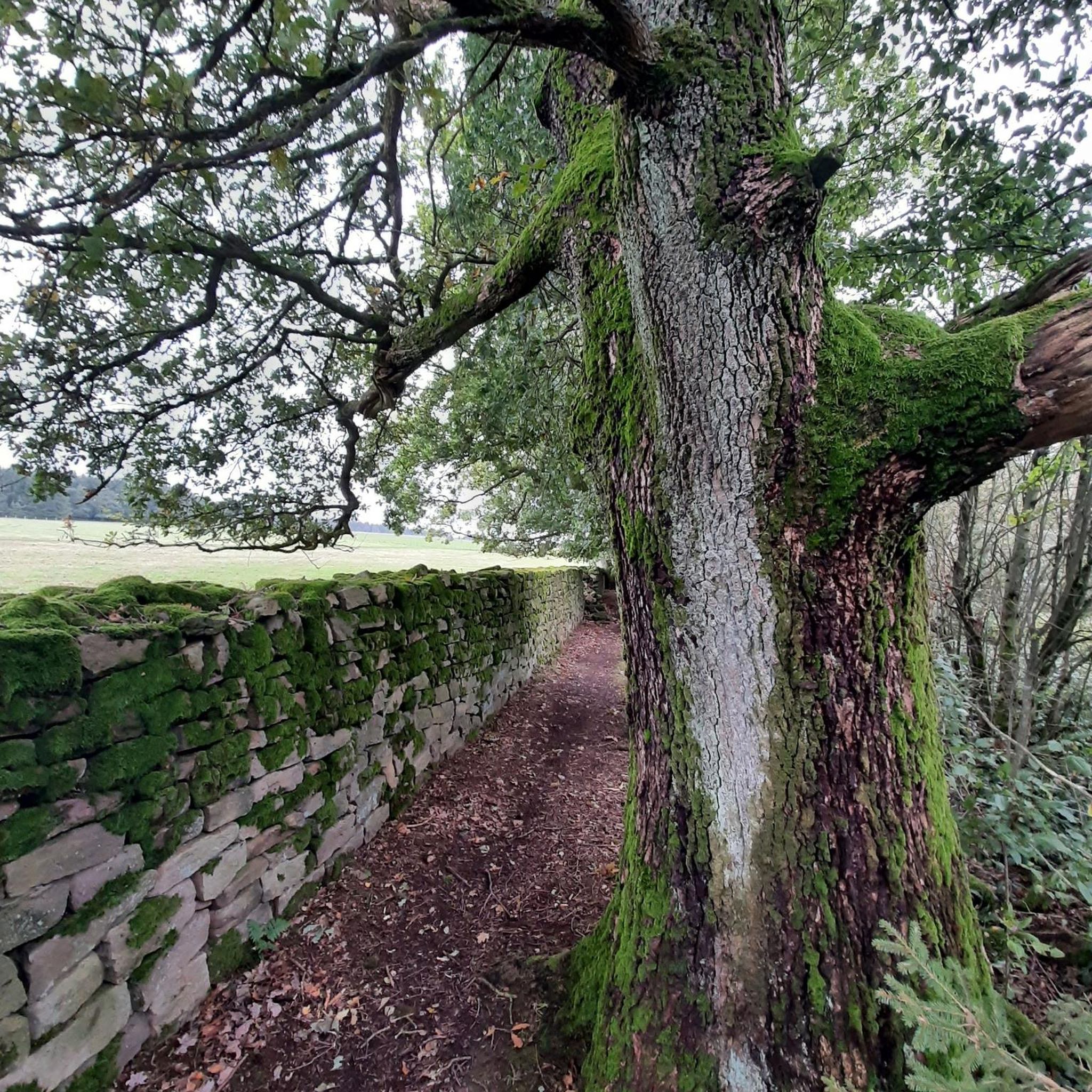
Beautiful old trees with very strong trunks, well worth seeing!
0
0

Saarbrücken Marina... is located directly on the way (district heating plant/eastern link)
0
0
Frequently Asked Questions
What kind of landscape can I expect while touring cycling around Spicheren?
Touring cycling around Spicheren takes you through the border region between France and Germany. You'll experience a mix of rolling hills and river valleys, with both open landscapes and forested sections. Many routes follow the Saar Cycle Route, highlighting the region's waterways and historical sites.
How many touring cycling routes are available around Spicheren?
There are over 490 touring cycling routes available around Spicheren, offering a wide variety of options for cyclists of all levels.
What are the different difficulty levels for touring cycling routes in Spicheren?
The routes around Spicheren cater to various skill levels. You'll find approximately 145 easy routes, 211 moderate routes, and 143 difficult routes, ensuring there's something for everyone from beginners to experienced touring cyclists.
What do other touring cyclists say about the routes around Spicheren?
The touring cycling routes around Spicheren are highly rated by the komoot community, with an average score of 4.5 stars from over 4,600 reviews. More than 27,000 touring cyclists have used komoot to explore the varied terrain, often praising the diverse landscapes and cross-border paths.
Are there family-friendly touring cycling routes around Spicheren?
Yes, there are numerous family-friendly options. Many of the 145 easy routes are suitable for families. For example, the Spicheren – Jean-Claude's Cabin loop from Spicheren is a moderate 10.6 km route that offers a pleasant ride without excessive difficulty.
Are there circular touring cycling routes available around Spicheren?
Many of the touring cycling routes around Spicheren are designed as loops, allowing you to start and end at the same point. Examples include the popular Tabak Pond – St. Arnual Collegiate Church loop from Etzling and the more challenging Saar Cycle Route – Alte Schmelz St. Ingbert loop from Spicheren.
What interesting sights or landmarks can I see along the touring cycling routes near Spicheren?
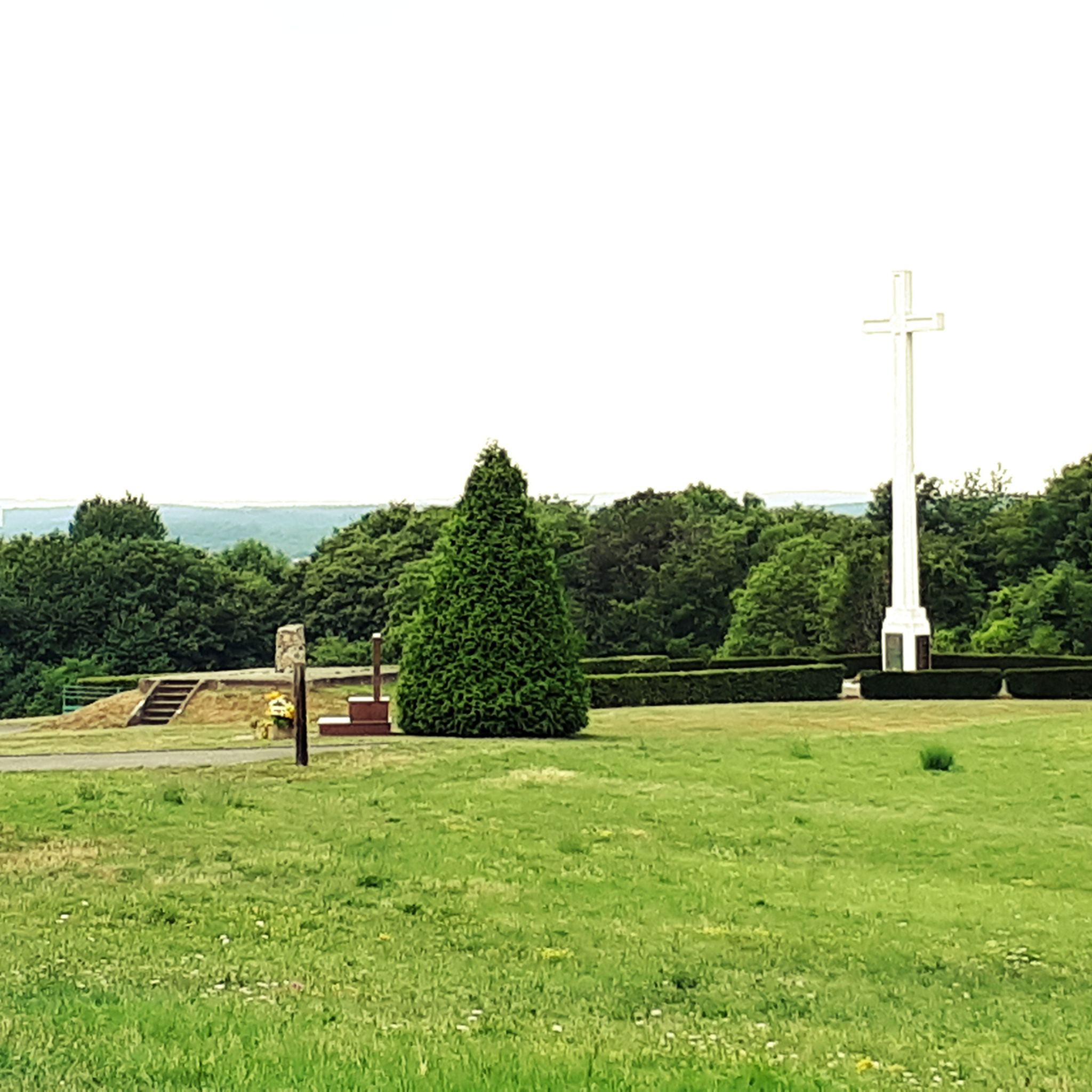
While cycling around Spicheren, you can explore various points of interest. You might encounter viewpoints like the Schwarzenberg Tower or discover unique features such as the Haldenkreuz Saarkohlewald. The region also features historical sites and riverine landscapes, especially along the Saar Cycle Route.
When is the best time of year for touring cycling around Spicheren?
The best time for touring cycling around Spicheren is generally during the spring, summer, and early autumn months when the weather is mild and the landscapes are most vibrant. These seasons offer comfortable temperatures for longer rides and better trail conditions.
Can I bring my dog on touring cycling routes around Spicheren?
While specific regulations for dogs on cycling routes can vary, many paths in the open landscapes and forested sections around Spicheren are generally dog-friendly, provided your dog is well-behaved and kept on a leash. Always check local signage for any restrictions, especially in nature reserves or specific parks.
Where can I find parking for touring cycling routes near Spicheren?
Parking availability varies by starting point. Many routes, particularly those originating from towns or villages in the French-German border region, will have designated parking areas. For routes like the Saar Cycle Route – Saarbrücken East Harbor loop from Spicheren, you can often find parking in urban fringes or near public transport hubs.
How can I reach the touring cycling routes around Spicheren by public transport?
Given Spicheren's location in the French-German border region, public transport options like regional trains and buses can provide access to various starting points for cycling routes. Major towns like Saarbrücken, which is often part of cycling loops, are well-connected. It's advisable to check local transport schedules for specific route access points.
Are there bike rental options available near Spicheren?
While Spicheren itself is a fitness center, bike rental services are typically available in larger towns and cities within the surrounding French-German border region, such as Forbach or Saarbrücken. These services can provide touring bikes suitable for exploring the local routes.
Are there places to eat or stay near the touring cycling routes around Spicheren?
Yes, the region around Spicheren, particularly in towns like Forbach and Saarbrücken, offers a variety of cafes, restaurants, and accommodation options. Many routes pass through or near these areas, providing convenient stops for refreshments or overnight stays.
Most popular routes around Spicheren
Most popular attractions around Spicheren

Get inspired with the komoot mobile app


Explore more
Browse the best Cycling routes in other regions.
