The best running trails around Orbeil
4.2
(41)
2,882
runners
13
runs
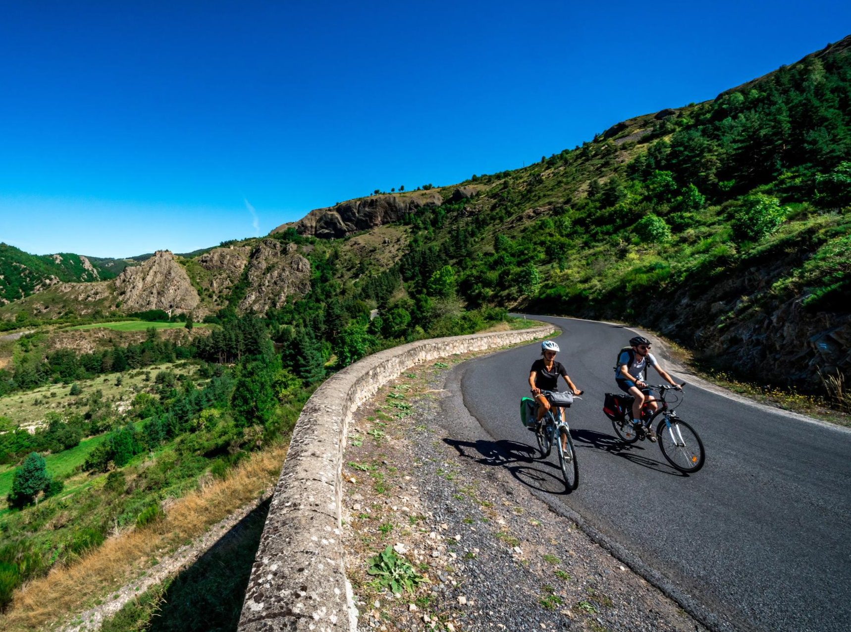
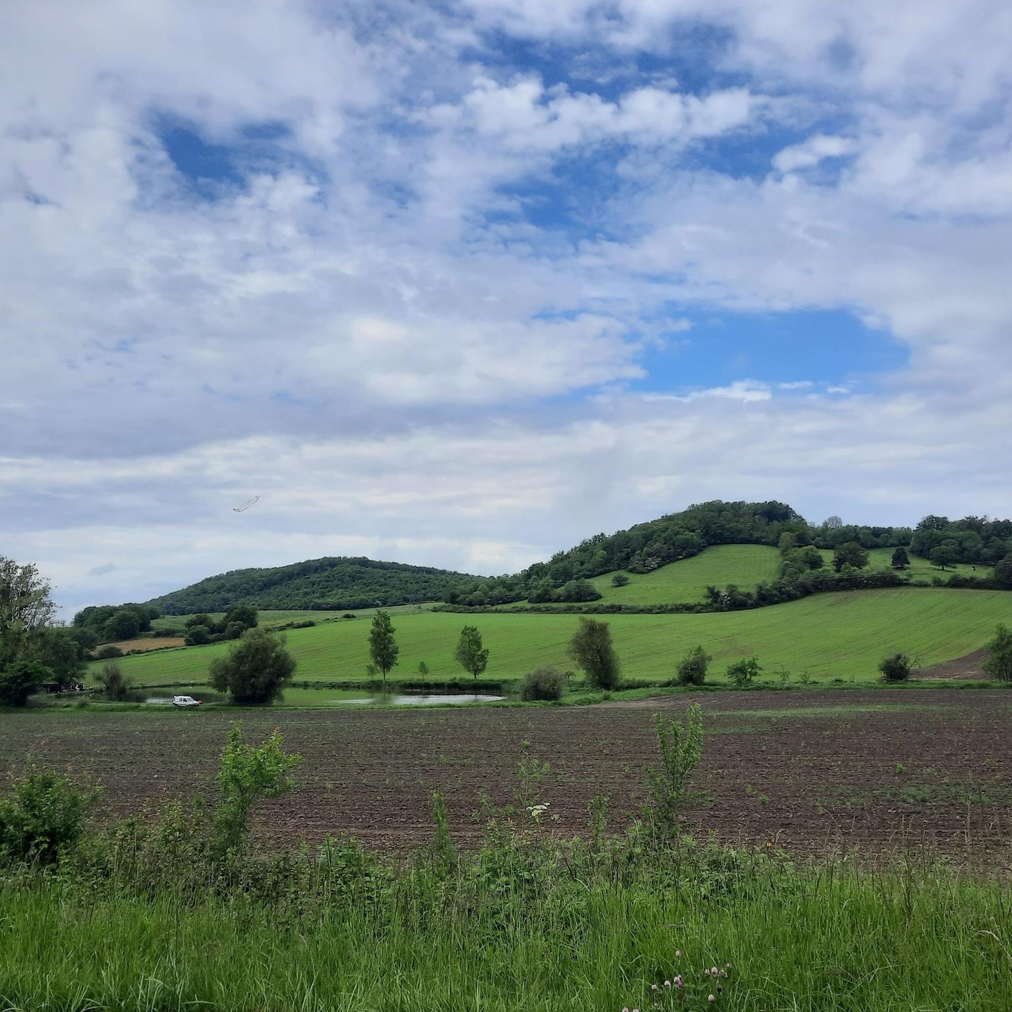
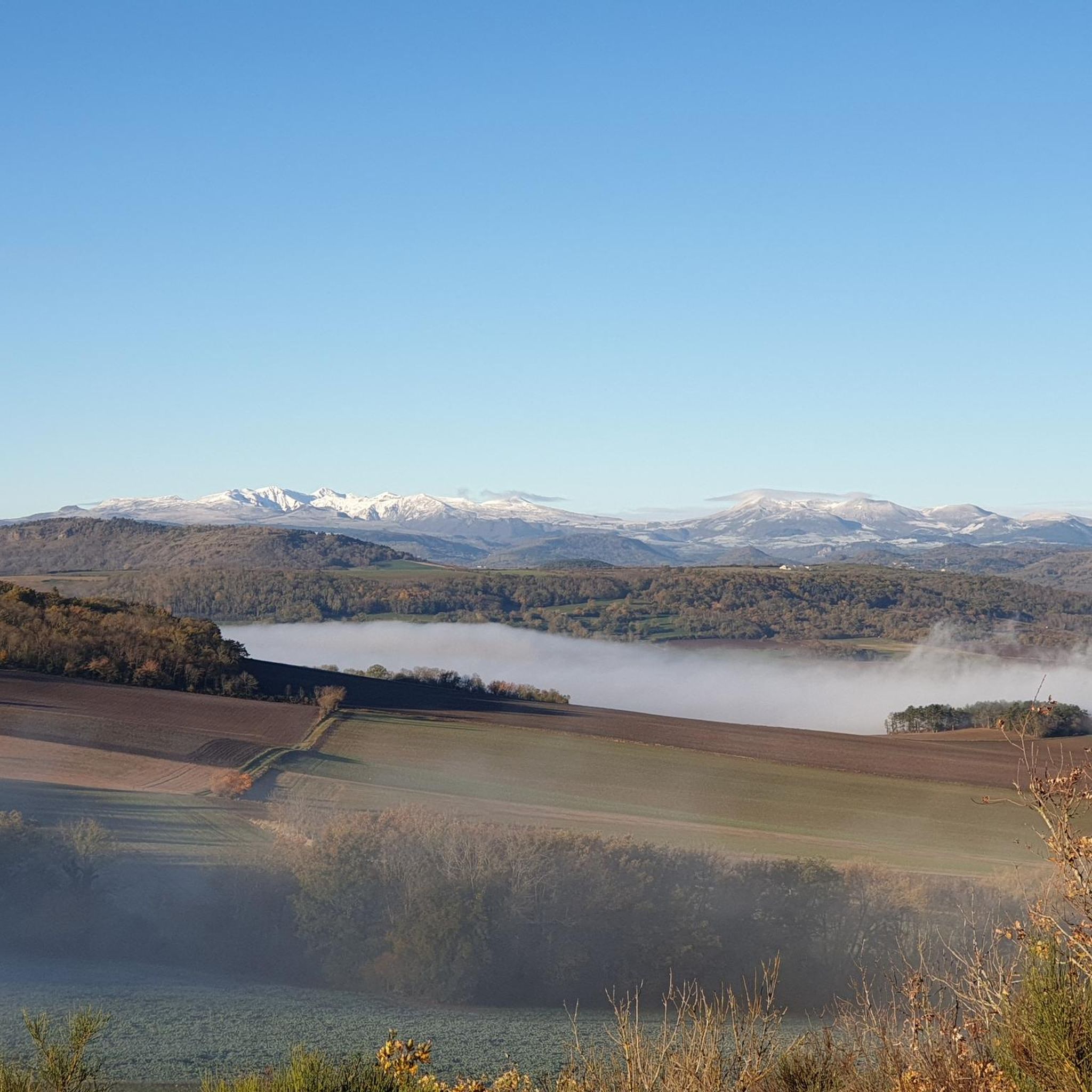
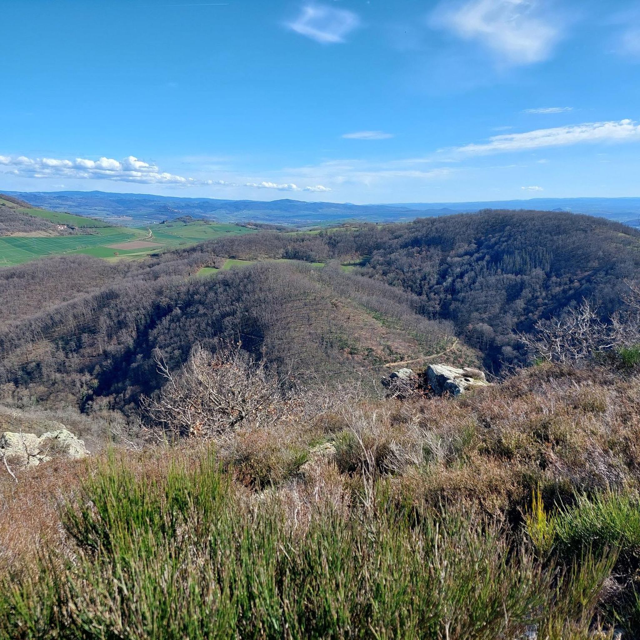
Jogging around Orbeil offers diverse and scenic routes through the Puy-de-Dôme department in central France. The region is characterized by the volcanic mound of Ybois, the Allier river forming a natural boundary, and limestone hills that create varied terrain. A significant granite massif with heather, meadows, and forests provides additional running surfaces, offering panoramic views of the Allier valley and the mountains of Sancy and Puy de Dome.
Best jogging routes around Orbeil
- The most popular jogging route is L'Allier…
Last updated: July 27, 2026
30
runners
7.30km
00:49
50m
50m
Moderate run. Good fitness required. Mostly paved surfaces. Suitable for all skill levels.
12
runners
11.6km
01:25
300m
300m
Hard run. Very good fitness required. Mostly paved surfaces. Suitable for all skill levels.

Sign up for free
6
runners
7.08km
00:53
240m
240m
Moderate run. Good fitness required. Mostly paved surfaces. Suitable for all skill levels.
3.0
(1)
10
runners
13.2km
01:33
220m
210m
Moderate run. Good fitness required. Mostly paved surfaces. Suitable for all skill levels.
3
runners
24.5km
03:00
670m
670m
Hard run. Very good fitness required. Mostly paved surfaces. Suitable for all skill levels.
Get access to more routes and recommendations from other explorers.
Sign up for free
Already have an account?
Our route recommendations are based on thousands of hikes, rides, and runs completed by other people on komoot.
Start today with a free account
Your next adventure awaits.
Login or Signup


Other adventures around Orbeil

Tips from the Community

A lovely walk along the Allier river, and a pretty crossing of the county woods.
0
0

The bridge will be rehabilitated to integrate the greenway for soft mobility
0
1

Small "pass" but very pleasant to drive and offers beautiful views
0
0

This pass culminates at an altitude of 654 meters. Of medium difficulty, it offers you a breathtaking 360-degree view at its summit.
2
0

Very beautiful panorama on each side of the pass
0
1

This old suspension bridge linked Issoire on the left bank and Parentignat on the right bank. It was the first in 1831 which made it possible to cross the Allier, replacing the Parentignat, Orbeil and Pradeaux ferries. Since 1976 it has been disused and has been replaced by a more modern bridge.
0
0
The Col de la Croix des Gardes does not present any great difficulties. the progression is surrounded by the green of the fields.
0
0

The Col de la Croix des Gardes from the D49 road is 7.7 km long with a total drop of 273 m. The average gradient is 3.55% with maximum gradients of 8%.
1
0
Frequently Asked Questions
How many running routes are available around Orbeil?
Orbeil offers a good selection of running routes, with over 10 different trails to explore. These routes cater to various fitness levels, ranging from moderate to difficult.
What kind of terrain can I expect on the running trails in Orbeil?
The terrain around Orbeil is quite diverse, offering a stimulating environment for runners. You'll find a mix of volcanic hills, such as the mound of Ybois, gentle slopes along the Allier river, and paths through a granite massif characterized by heather, meadows, and forests. This variety provides options for both leisurely runs and more challenging trail experiences.
Are there running routes suitable for beginners in Orbeil?
While many routes in Orbeil are rated moderate to difficult, there are options that can be enjoyed by beginners or those looking for a less strenuous run. Look for trails with lower elevation gains and shorter distances, often found along the Allier river, which offer relatively flat and scenic paths. For example, the L'Allier – Plan d'Eau du Mas loop from Orbeil is a moderate 7.3 km route that takes about 50 minutes.
What do other runners say about the jogging routes in Orbeil?
The running routes in Orbeil are highly regarded by the komoot community, boasting an average rating of 4.3 stars from over 40 reviews. More than 2700 runners have used komoot to explore the area, often praising the diverse terrain and scenic views of the Allier valley and surrounding mountains.
Are there any interesting sights or landmarks to see while running in Orbeil?
Yes, several interesting sights can be found near the running routes. You might pass by the historic Château de Lachaux, or enjoy views of the old suspension bridge of Parentignat. The region also features the Path Between the Cliff and the Allier River, offering unique natural scenery.
Can I combine my run with a visit to a charming village?
Absolutely! Orbeil is close to several charming villages. The nearby village of Montpeyroux, known for its blond sandstone houses and medieval tower, offers panoramic views and is a picturesque destination for a longer run or post-jog exploration. You can also extend your route towards Issoire to explore its historic center.
Are there circular running routes in Orbeil?
Many of the running routes in Orbeil are designed as loops, providing a convenient way to start and finish your run in the same location. Examples include the popular L'Allier – Plan d'Eau du Mas loop from Orbeil and the more challenging L'Allier loop from Orbeil.
Are the running trails in Orbeil suitable for families?
Yes, some trails are suitable for families, especially those looking for a leisurely run or walk. Paths along the Allier river are generally flatter and more accessible. For a more active family outing, consider the outdoor activity center Crapa'hutte in Moidas, which offers 'course d'orientation' activities that combine running with navigation in a natural setting.
Can I bring my dog on the running trails around Orbeil?
Generally, dogs are welcome on many outdoor trails in France, especially in rural areas like Orbeil. However, it's always best to keep your dog on a leash, especially near livestock or in nature reserves, and to clean up after them. Check local signage for any specific restrictions.
Where can I find parking near the running routes in Orbeil?
Parking is typically available in or near the starting points of many routes, especially in villages like Orbeil or Flat. Specific parking information can often be found on individual route descriptions on komoot, or by checking local village maps.
Are there options for longer distance running in Orbeil?
Yes, Orbeil offers several options for longer distance running. For example, the Croix des Gardes Pass – Col de la Croix des Gardes loop from Flat is a difficult 24.3 km route with significant elevation gain. The wider 'Espace Trail Cœur d'Auvergne' in the region also provides dedicated trail running routes from 10 to 46 kilometers for experienced runners.
What are the elevation profiles like on Orbeil's running routes?
The elevation profiles vary significantly, reflecting the diverse landscape. Routes along the Allier river tend to be flatter, with minimal elevation gain. However, trails venturing into the volcanic hills or granite massif, like the Running loop from Flat, can feature challenging ascents and descents, with some routes having over 300 meters of elevation gain.
Are there any running routes that offer panoramic views?
Absolutely! Many routes in Orbeil provide stunning panoramic views. The region's unique geographical position, including the volcanic peak of Ybois and the granite massif, ensures that jogs are consistently scenic. You can enjoy breathtaking vistas of the Allier valley, the majestic mountains of Sancy and Puy de Dome, and to the east, the Livradois and Forez regions.
Most popular attractions around Orbeil

Get inspired with the komoot mobile app


Explore more
Browse the best Running Trails & Routes in other regions.
