The best walks and hikes around Bromont-Lamothe
4.6
(749)
5,137
hikers
211
hikes
Hiking around Bromont-Lamothe offers access to a landscape shaped by ancient volcanic activity, characterized by lava fields and forested areas. The region features varied terrain, including gentle paths through woodlands and routes exploring historical sites. Hikers can expect a mix of open views and sheltered sections, with elevation changes typical of a volcanic plateau.
Best hiking trails around Bromont-Lamothe
- The most popular hiking route is Cheire de Pontgibaud Trail, a 4.6 miles (7.5 km) trail that takes 2 hours…
Last updated: September 28, 2026
5.0
(3)
43
hikers
7.47km
02:02
110m
110m
Hike the moderate 4.6-mile Cheire de Pontgibaud Trail through a unique volcanic lava flow and wild forest near Pontgibaud.
4.1
(7)
13
hikers
5.98km
01:40
110m
110m
Easy hike. Great for any fitness level. Easily-accessible paths. Suitable for all skill levels.

4.8
(4)
28
hikers
Moderate hike. Good fitness required. Easily-accessible paths. Suitable for all skill levels.
5.0
(1)
17
hikers
15.5km
04:18
270m
270m
Moderate hike. Good fitness required. Easily-accessible paths. Suitable for all skill levels.
5.0
(3)
12
hikers
Easy hike. Great for any fitness level. Easily-accessible paths. Suitable for all skill levels.
Get access to more routes and recommendations from other explorers.
Already have an account?
Our route recommendations are based on thousands of hikes, rides, and runs completed by other people on komoot.
Start today with a free account
Your next adventure awaits.

Tips from the Community

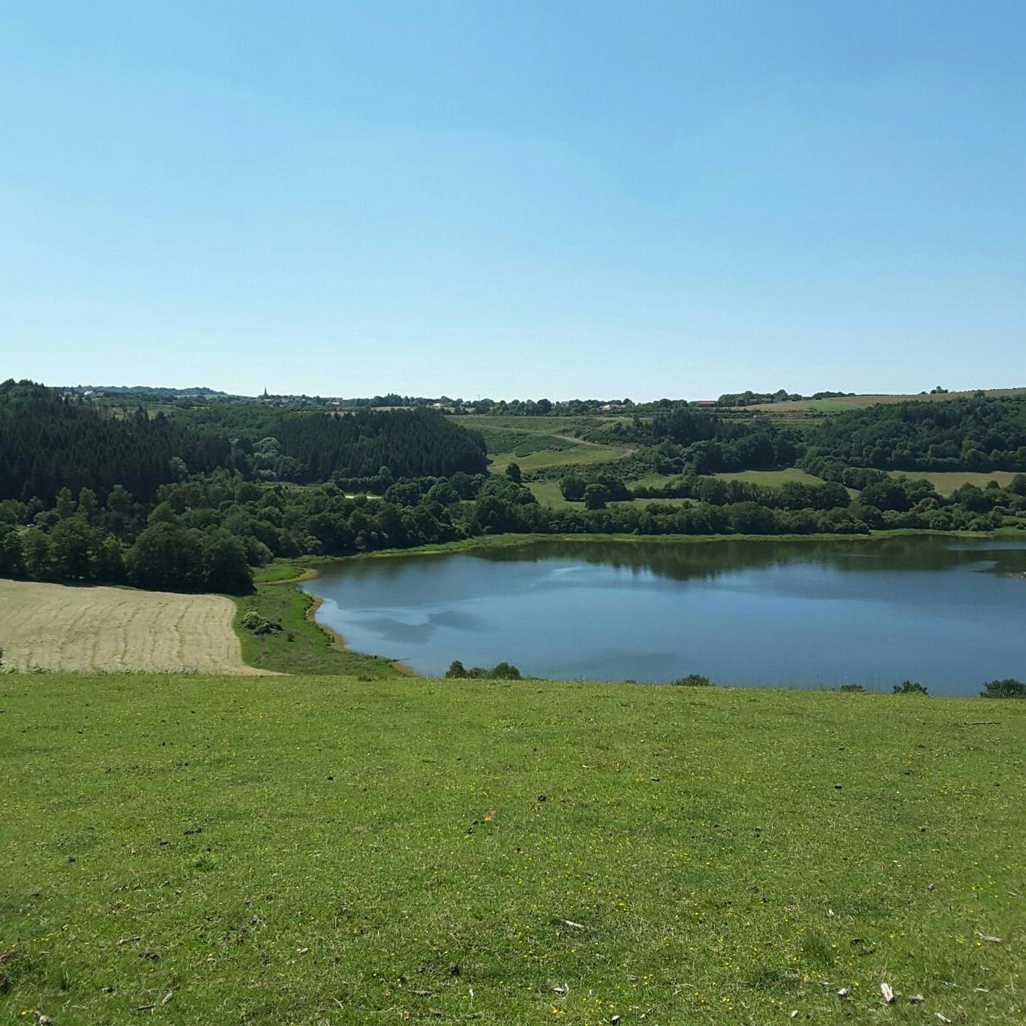
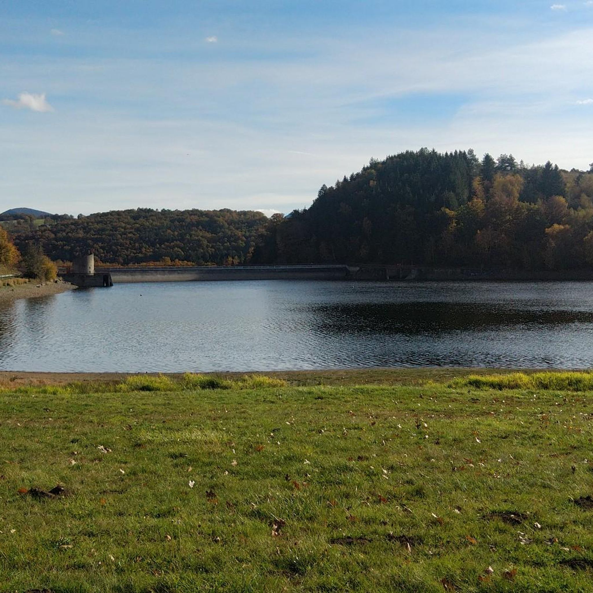
On site, they say these are marshes.... The installed pontoons and descriptive panels are great! By not moving too much, we spotted beautiful specimens
0
0


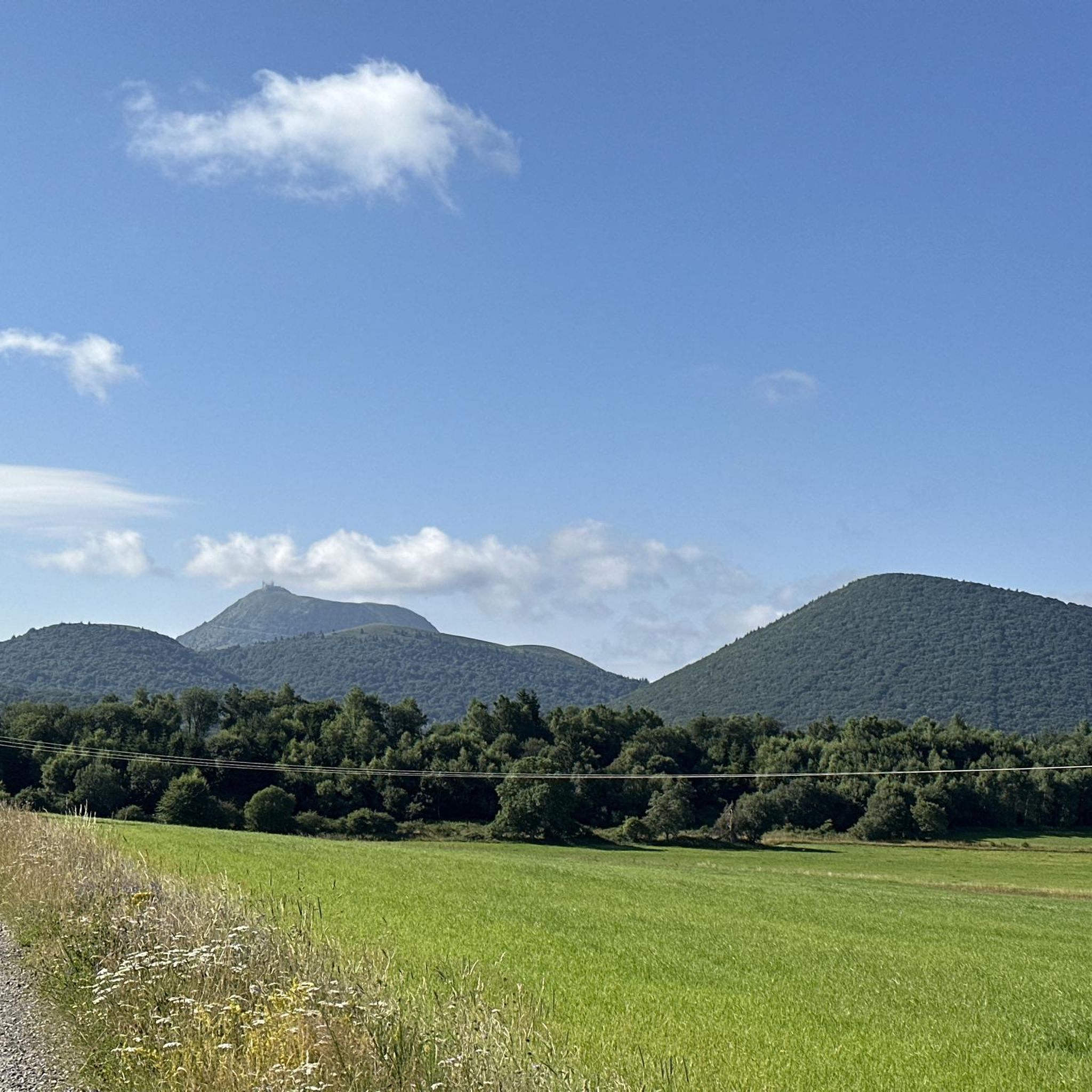
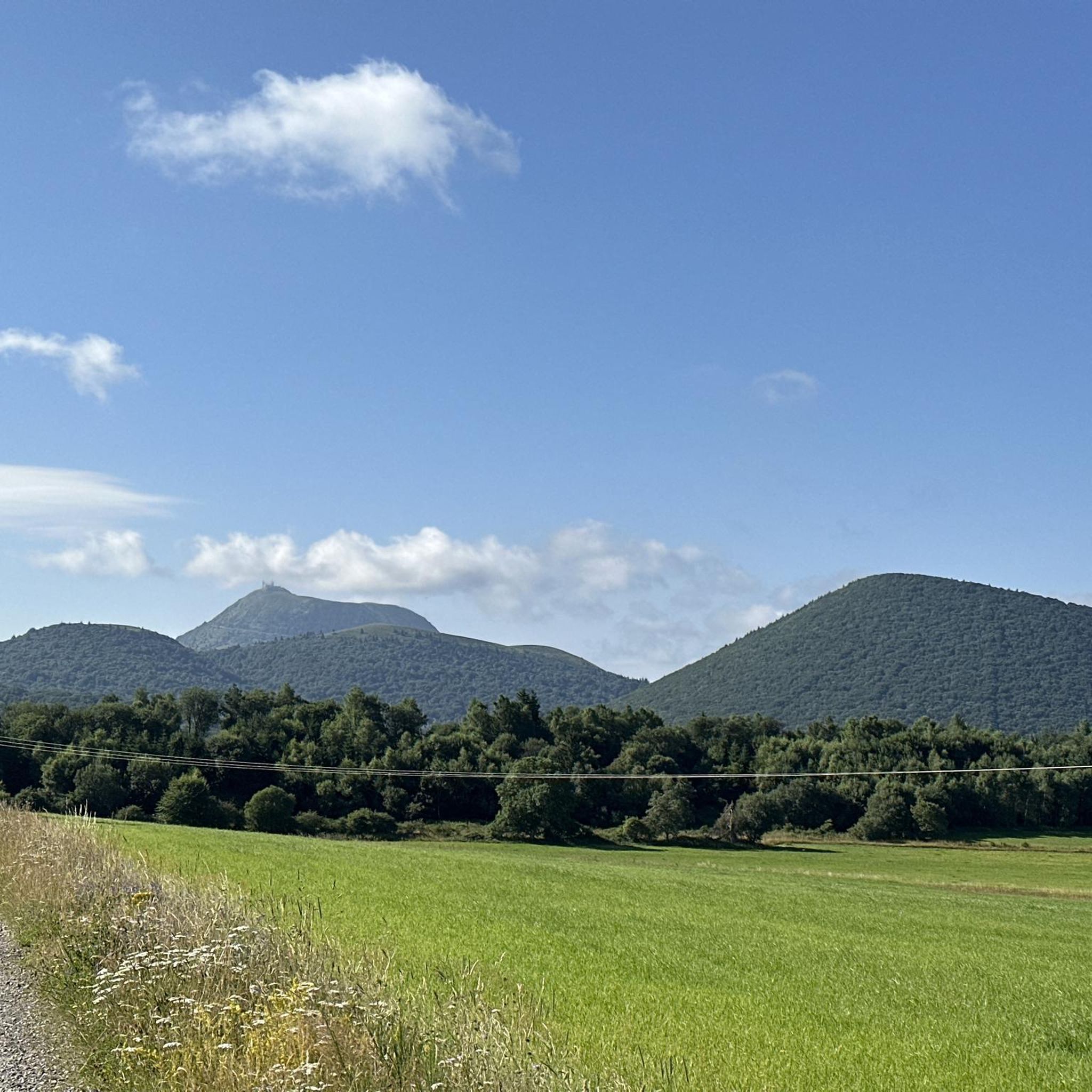
very beautiful view of the skyline of the domes
0
0

The lava flow of a volcanic eruption many years ago created this incomparable landscape.
0
0

Path along the cheire de Pontgibeaud which is one of the most beautiful in the Puys chain.
0
0

Located on the bed of the Sioule, a tributary of the Allier, the village of Pontgibaud stands out for its many architectural remains in black stone from medieval times. A place where it is interesting to take the time to walk around to discover its historical remains!
0
0
Cheires are ancient lava flows that offer incredible natural phenomena! The ecosystems that have developed there are incredibly rich and offer a corner of paradise for all hikers.
1
0
Frequently Asked Questions
How many hiking trails are available around Bromont-Lamothe?
There are over 170 hiking routes around Bromont-Lamothe, offering a wide range of options from easy strolls to more challenging moderate trails. The region's volcanic landscape provides diverse terrain for exploration.
Are there any easy hiking trails suitable for beginners or families?
Yes, Bromont-Lamothe offers several easy trails perfect for beginners or families. One popular option is the Pontgibaud – Cheire de Pontgibaud loop from Pontgibaud, an easy 3.7-mile (6.0 km) path that provides lovely views of the Cheire de Pontgibaud. Another accessible choice is the Cheire de Pontgibaud – Pontgibaud loop from Pontgibaud, a shorter 2.2-mile (3.5 km) route.
What kind of natural attractions can I see while hiking in Bromont-Lamothe?
The region's unique volcanic history means you'll encounter fascinating natural monuments. Hikers can explore the Cheire de Pontgibaud, a distinctive lava flow, or enjoy panoramic views from Puy de la Coquille. The Clierzou Caves also offer an interesting natural feature to discover.
Are there any circular hiking routes in the area?
Yes, many trails around Bromont-Lamothe are designed as circular routes, allowing you to start and end at the same point. A great example is the Wald auf Lavafeld – Les Chazaloux, medieval site loop from Saint-Pierre-le-Chastel, a 5.6-mile (9.1 km) trail that takes you through forested lava fields and past historical sites.
What do other hikers say about the trails in Bromont-Lamothe?
The hiking trails in Bromont-Lamothe are highly regarded by the komoot community, with an average rating of 4.7 stars from over 500 reviews. Hikers frequently praise the unique volcanic landscapes, the tranquility of the woodlands, and the well-maintained paths that offer a mix of natural beauty and historical interest.
Are there any historical sites or landmarks to explore on the hikes?
Absolutely. The region is rich in history. You can discover the Port-Sainte-Marie Charterhouse, a significant historical site, or explore the medieval site mentioned in the Wald auf Lavafeld – Les Chazaloux loop. The trails often weave through areas with historical significance, offering glimpses into the past.
What is the best season for hiking in Bromont-Lamothe?
Bromont-Lamothe offers enjoyable hiking throughout much of the year. Spring and autumn provide pleasant temperatures and beautiful scenery with blooming wildflowers or vibrant fall foliage. Summer is also popular, though some trails might be more exposed. Winter hiking is possible, especially on lower elevation trails, but requires appropriate gear for potentially colder and wetter conditions.
Are there any hikes that offer good viewpoints?
Yes, the volcanic terrain provides several excellent viewpoints. For instance, the Puy de la Coquille offers great vistas. Many trails also feature sections with 'Distant views of the Puys', allowing you to appreciate the broader volcanic landscape.
Are there any trails suitable for a longer, more moderate hike?
For a moderate hike with a good distance, consider the Cheire de Pontgibaud Trail. This route is 4.6 miles (7.5 km) long and takes approximately 2 hours to complete, offering a deeper exploration of the unique volcanic landscape.
Can I find hikes that include castles or other interesting structures?
Yes, some routes incorporate historical structures. The Château de Bonnabaud loop from Saint-Pierre-le-Chastel is an easy 2.4-mile (3.8 km) trail that allows you to discover the Château de Bonnabaud and its surroundings.
What kind of terrain can I expect on the hiking trails?
The terrain around Bromont-Lamothe is primarily shaped by ancient volcanic activity. You can expect a mix of paths through lava fields, dense forested areas, and open countryside. Elevation changes are typical of a volcanic plateau, offering varied and engaging walking surfaces.
Most popular routes around Bromont-Lamothe
Most popular attractions around Bromont-Lamothe

Get inspired with the komoot mobile app


Explore more
Browse the best Hikes in other regions.
