The best walks and hikes around Saint-Michel-De-Bannières
4.6
(409)
2,260
hikers
129
hikes
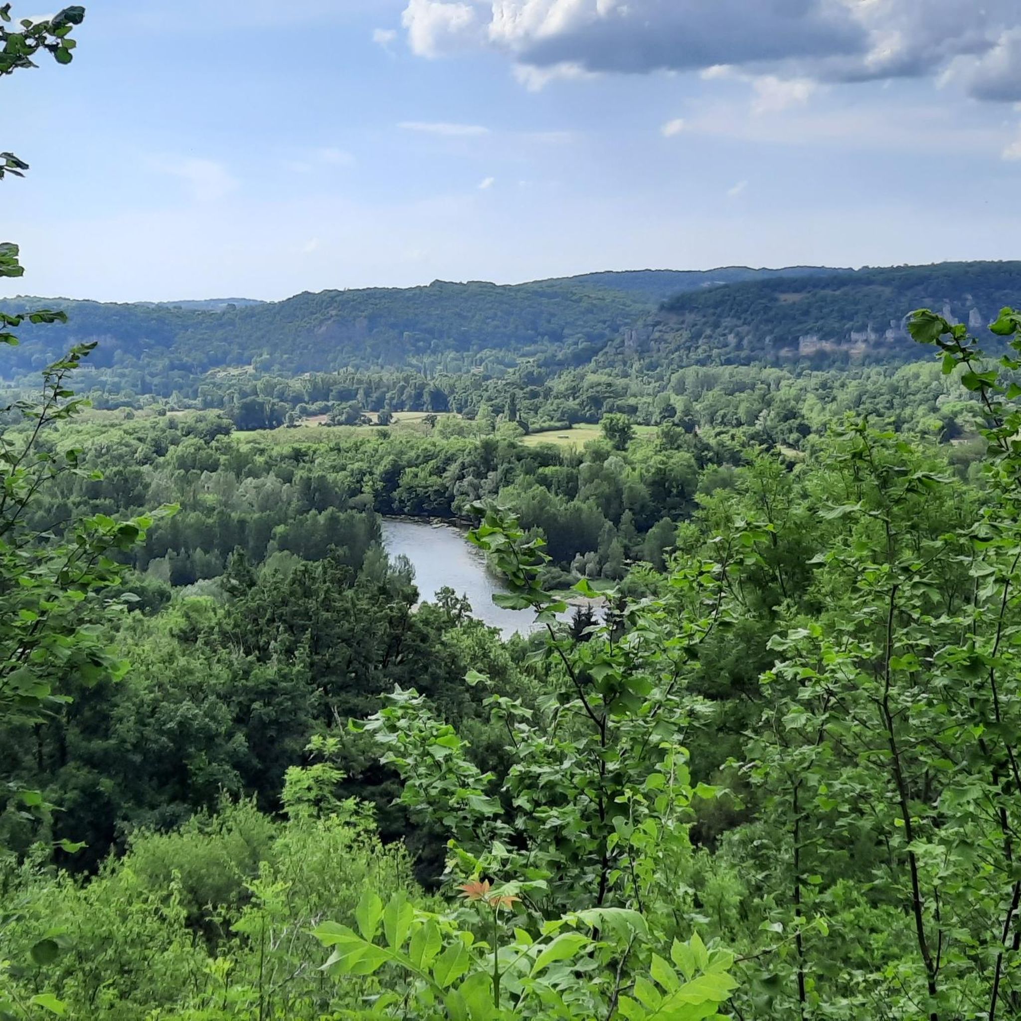
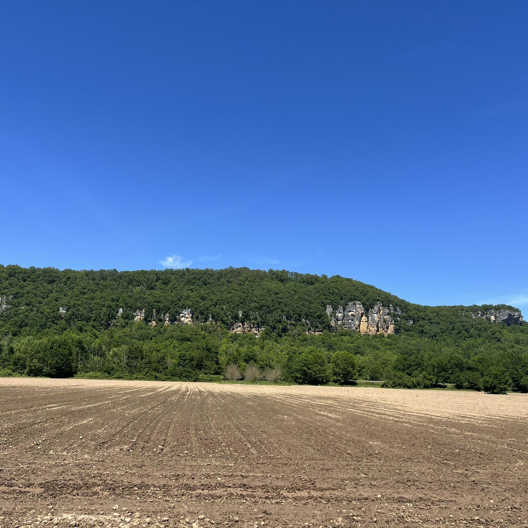
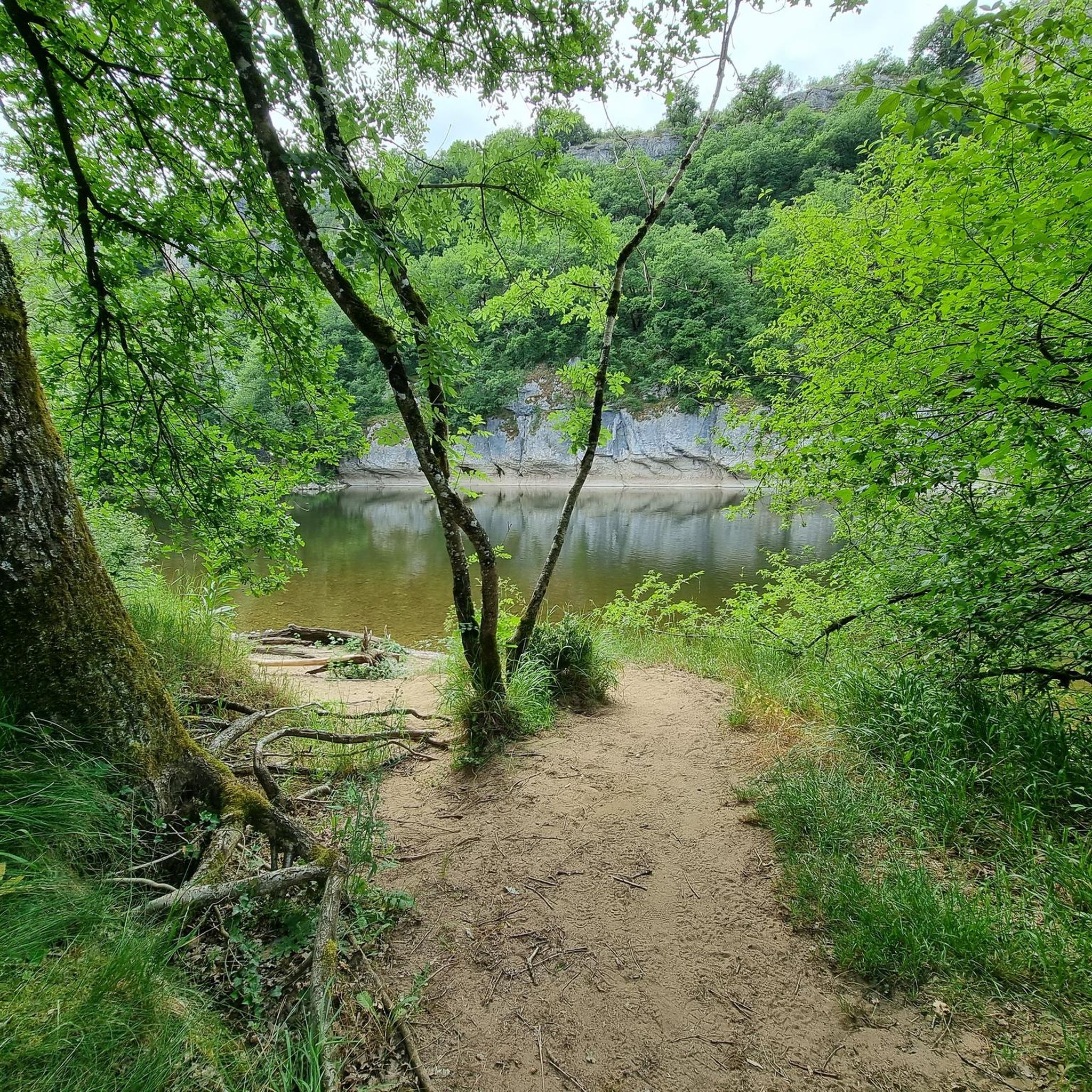
Hiking around Saint-Michel-De-Bannières, located in France's Lot department, offers diverse landscapes for outdoor enthusiasts. The region features the limestone plateau of Causse de Gramat and the riverine scenery of the Dordogne Valley, characterized by cliff views and agricultural areas. Trails often integrate with the area's rich cultural and historical heritage, passing through "Most Beautiful Villages of France" and near châteaux. This blend of natural beauty and historical sites defines the hiking experience.
Best hiking trails around Saint-Michel-De-Bannières
- The most popular…
Last updated: July 27, 2026
4.6
(7)
33
hikers
6.83km
01:58
170m
170m
Easy hike. Great for any fitness level. Easily-accessible paths. Suitable for all skill levels.
4.3
(3)
16
hikers
4.13km
01:13
100m
100m
Easy hike. Great for any fitness level. Easily-accessible paths. Suitable for all skill levels.

Sign up for free
4.5
(2)
10
hikers
9.24km
02:43
250m
250m
Moderate hike. Good fitness required. Easily-accessible paths. Suitable for all skill levels.
5.0
(2)
8
hikers
7.22km
01:59
120m
120m
Easy hike. Great for any fitness level. Easily-accessible paths. Suitable for all skill levels.
4.3
(3)
15
hikers
Easy hike. Great for any fitness level. Easily-accessible paths. Suitable for all skill levels.
Get access to more routes and recommendations from other explorers.
Sign up for free
Already have an account?
Our route recommendations are based on thousands of hikes, rides, and runs completed by other people on komoot.
Start today with a free account
Your next adventure awaits.
Login or Signup

Tips from the Community

The market hall dates back to the late 18th century. Beneath the original oak roof trusses is a white limestone cross from the 15th century.
1
0
Originally, the church, with its bell gable, was Romanesque. The central section of the building dates back to the 12th century. The crossing and the vaults of the choir are Gothic.
1
0
Beautiful, lonely path in the hilly landscape, partly through meadows, fields, forest and great views.
1
0
The Croix de la Combe hiking trail passes by it - this chapel is a little gem in the hilly landscape.
1
0
The viewpoint with its information board is easily accessible on foot from the village. The hiking trail through the hilly landscape also passes by here.
2
0


Throughout this trail, you are accompanied by a superb panorama of the rolling Corrèze countryside. The setting is particularly peaceful.
1
0
Curemonte is an ancient medieval village built on a long, rocky ridge. In addition to its historical interest and the recommended visit to its castle, Curemonte offers beautiful views of the Corrèze region. It's worth noting that Curemonte is one of the six Most Beautiful Villages of France in the Corrèze region.
1
0
Frequently Asked Questions
What is the overall difficulty level of hiking trails around Saint-Michel-De-Bannières?
The hiking trails around Saint-Michel-De-Bannières cater to a wide range of abilities. You'll find a good balance of easy and moderate routes, with 51 easy and 51 moderate trails available. There are also 6 more challenging routes for experienced hikers looking for a greater adventure.
Are there many options for easy or beginner-friendly hikes in the area?
Yes, Saint-Michel-De-Bannières offers plenty of easy and beginner-friendly hiking options. With 51 trails classified as easy, you'll find numerous paths perfect for a relaxed stroll or for those new to hiking. Many of these routes are shorter and have minimal elevation gain.
Are there any circular hiking routes available?
Absolutely. Many of the trails around Saint-Michel-De-Bannières are designed as loops, allowing you to start and end at the same point. Examples include the popular Loop around the châteaux, the scenic Curemonte – View of Curemonte loop from Curemonte, and the Orientation table – Saint-Hilaire-la-Combe Church loop from Curemonte.
What kind of natural features can I expect to see while hiking?
The region offers a diverse landscape. You'll encounter the unique limestone plateau of the Causse de Gramat, picturesque riverine scenery along the Dordogne Valley with its characteristic cliff views, and agricultural areas featuring walnut groves. While not directly on every trail, the area is also known for significant cave systems like the Gouffre de Padirac and the Gouffre de la Fage, and the Cascades de Gimel are within driving distance.
Are there any historical sites or villages to explore on the trails?
Yes, hiking in this region often blends natural beauty with rich cultural heritage. You can explore several 'Most Beautiful Villages of France' such as Curemonte, Carennac, and Collonges-la-Rouge Village, which are close by and often integrated into routes. The Loop around the châteaux specifically connects historical castles within the landscape.
Can I visit any castles or historic villages directly from the hiking trails?
Many trails offer direct access or stunning views of the region's historical gems. For instance, the Loop around the châteaux is designed to connect you with impressive castles. You can also find routes that pass through or offer views of charming villages like Curemonte, Carennac, and Collonges-la-Rouge Village, which are renowned for their distinctive architecture and history.
Are there family-friendly hiking options suitable for children?
Yes, the area provides several family-friendly hiking options. Many of the 51 easy trails are suitable for children, offering shorter distances and gentle terrain. Routes like the Curemonte – View of Curemonte loop from Curemonte are relatively short and offer engaging views, making them ideal for families.
What do other hikers enjoy the most about hiking in Saint-Michel-De-Bannières?
The area is highly rated by the komoot community, with an average score of 4.6 stars from over 300 reviews. Hikers often praise the blend of natural beauty with historical sites, the varied terrain from limestone plateaus to river valleys, and the well-maintained paths that lead through charming villages and past impressive châteaux.
What is the best time of year to go hiking in Saint-Michel-De-Bannières?
The region is enjoyable throughout much of the year. Spring and autumn offer pleasant temperatures and vibrant scenery, with wildflowers blooming in spring and rich colors in autumn. Summer is also popular, though it can be warmer, making early morning or late afternoon hikes ideal. Winter hiking is possible, but some services in smaller villages might have reduced hours.
Are there places to eat or stay near the hiking trails?
Yes, the charming villages scattered throughout the region, such as Curemonte, Carennac, and Collonges-la-Rouge, offer various options for refreshments and accommodation. You'll find local cafes, restaurants, and guesthouses where you can relax and refuel after your hike, often within a short distance of the trails.
What are the typical durations for hikes in this area?
Hike durations vary significantly depending on the route's length and your pace. Shorter, easy loops like the Curemonte – View of Curemonte loop from Curemonte can be completed in about 40 minutes. Moderate trails, such as the Loop around the châteaux, typically take around 2 hours. Longer or more challenging routes can extend to several hours, offering options for both quick excursions and full-day adventures.
Are there any trails that offer scenic viewpoints?
Many trails in the Saint-Michel-De-Bannières area provide excellent scenic viewpoints, particularly those traversing the Dordogne Valley or the Causse de Gramat. Routes that pass through villages like Curemonte or near châteaux often offer panoramic vistas of the surrounding countryside, including river valleys, cliff faces, and the distinctive red-stone architecture of the region.
Most popular routes around Saint-Michel-De-Bannières
Most popular attractions around Saint-Michel-De-Bannières

Get inspired with the komoot mobile app


Explore more
Browse the best Hikes in other regions.
