The best road cycling routes around Bois-De-Champ
4.4
(356)
4,745
riders
110
rides
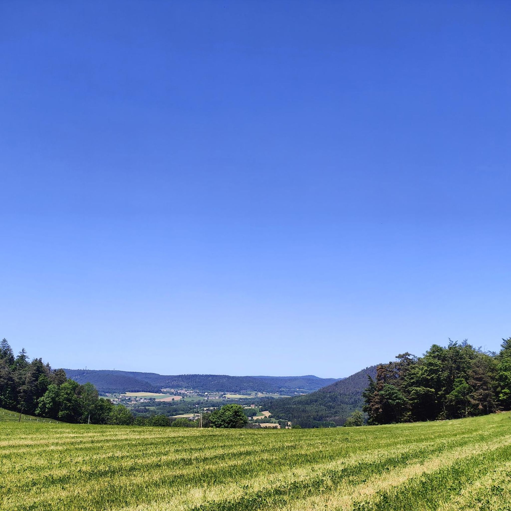
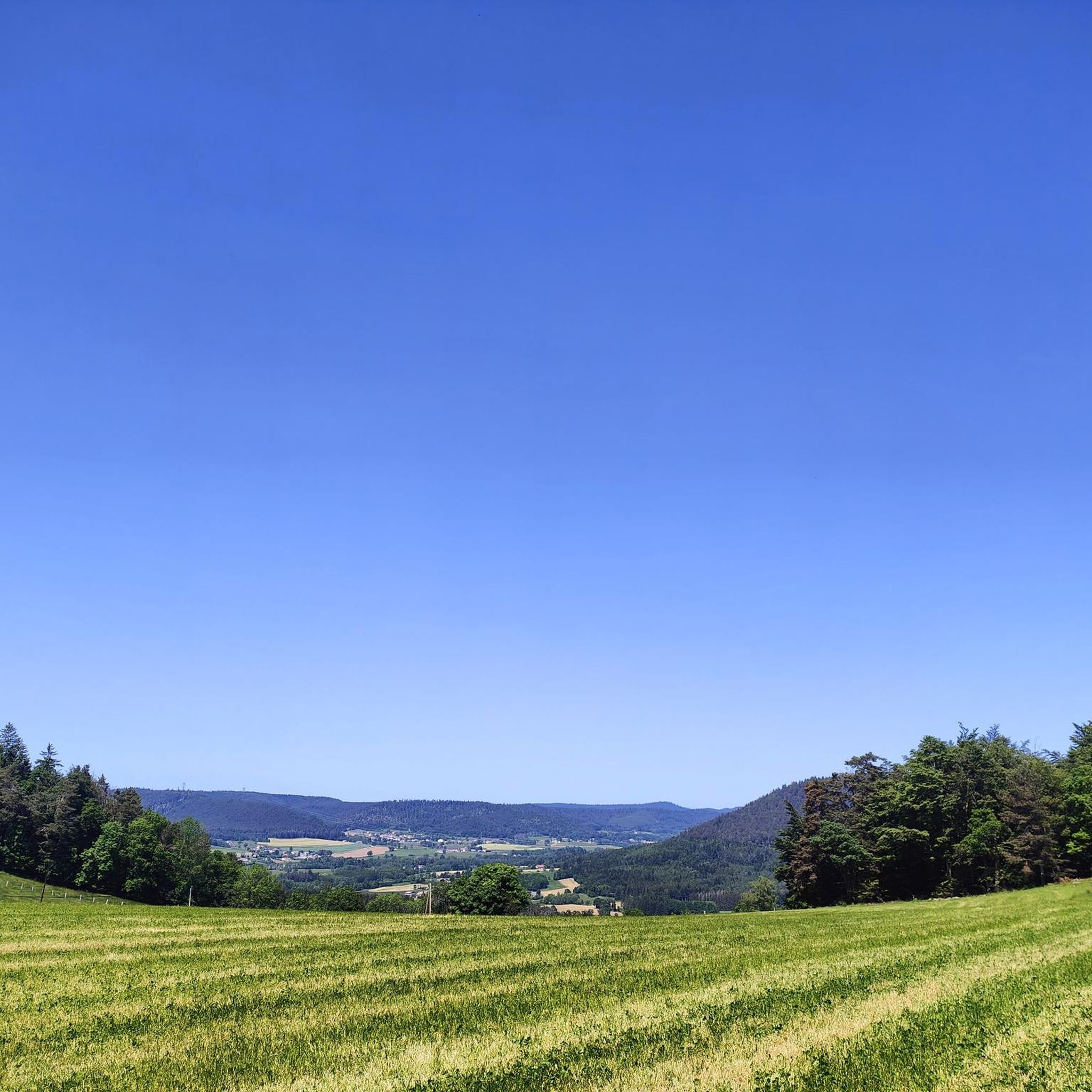
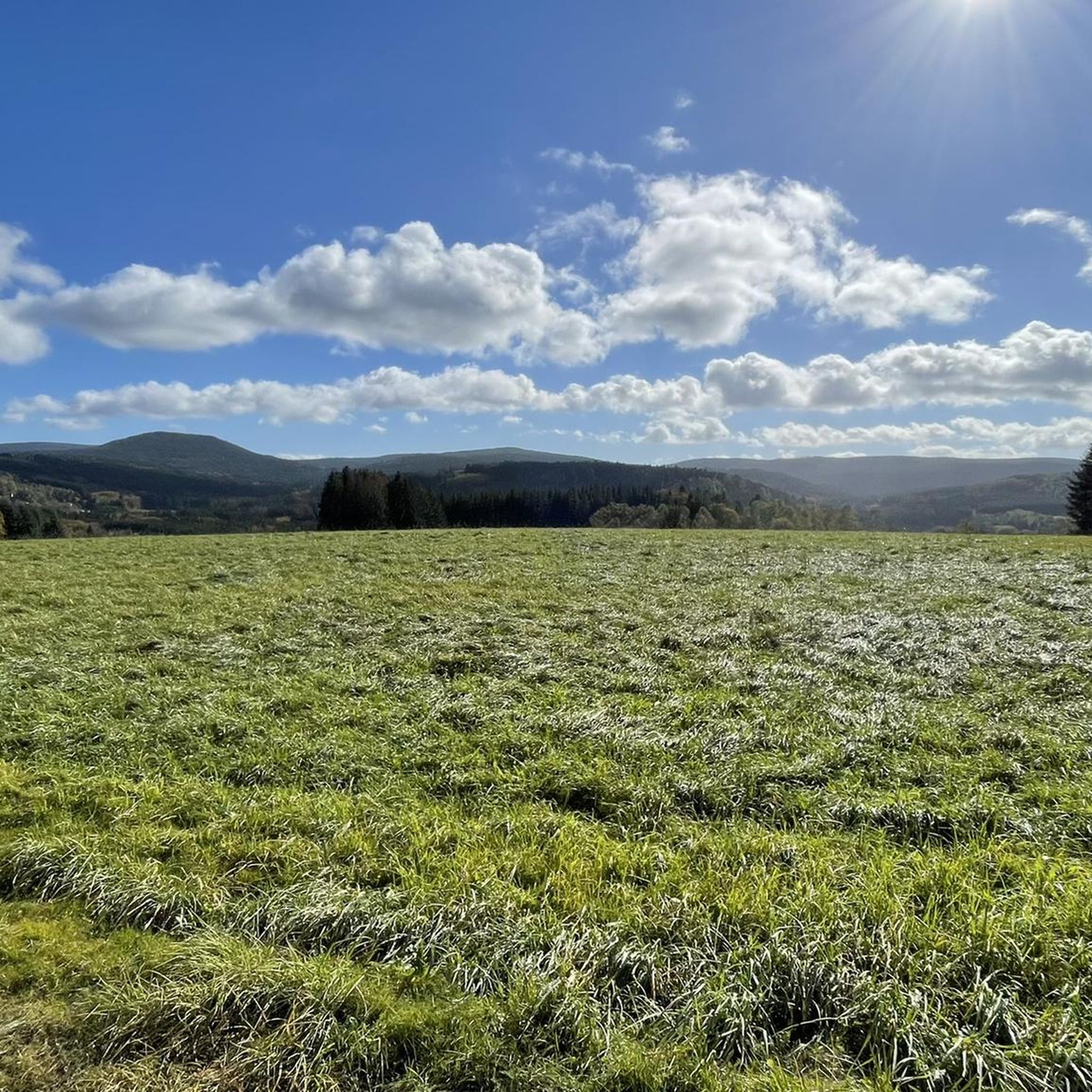
Road cycling routes around Bois-De-Champ are characterized by varied topography and proximity to the Vosges Massif. The commune, nestled in the Vosges department, features elevations ranging from 375 to 633 meters, providing diverse terrain for cyclists. Forest massifs and the Mortagne river contribute to the natural setting. This region offers undulating landscapes with ascents and descents, ideal for engaging road cycling experiences.
Best road cycling routes around Bois-De-Champ
- The most popular road cycling route is Col du Wettstein – Wettstein…
Last updated: August 1, 2026
4.2
(17)
64
riders
38.5km
02:00
550m
550m
Moderate road ride. Good fitness required. Some segments of this route may be unpaved and difficult to ride.
3.0
(1)
28
riders
61.0km
02:50
650m
650m
Moderate road ride. Good fitness required. Mostly well-paved surfaces and easy to ride.

Sign up for free
5.0
(1)
17
riders
22.2km
00:58
170m
170m
Easy road ride. Great for any fitness level. Mostly well-paved surfaces and easy to ride.
10
riders
31.1km
01:44
460m
460m
Moderate road ride. Good fitness required. Mostly well-paved surfaces and easy to ride.
6
riders
27.2km
01:29
390m
390m
Moderate road ride. Good fitness required. Mostly well-paved surfaces and easy to ride.
Get access to more routes and recommendations from other explorers.
Sign up for free
Already have an account?
Our route recommendations are based on thousands of hikes, rides, and runs completed by other people on komoot.
Start today with a free account
Your next adventure awaits.
Login or Signup
Tips from the Community

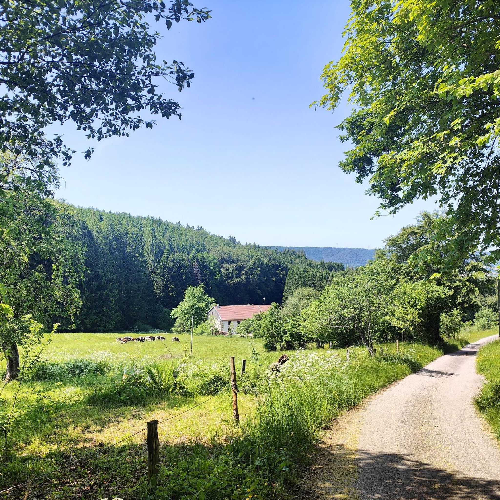
Beautiful road in the middle of the forest. Quite little traffic on the weekend.
0
0

Also serves coffee for great prices
0
0

Lake where you can swim and fish. Or just cycle along, of course
2
0

Beautiful area. Possibility to go around the body of water in VTC or mountain bike but also on foot.
1
0

I can confirm it is a really nice ride, mostly downhill if you're 'leaving' the Vosges and heading North :)
1
0

Strong uphill with more than 12% out of the picturesque town of Ivoux. Even then, a crisp climb with up to 10%. Here it is really fun to challenge yourself and, if necessary, to hunt for KOMs.
0
0
Off the road, this great path leads across the fields. Here you can drive fast and beautiful without any traffic.
0
0
Old worker-city. You can’t day that it is beautiful, but you can Imagine the hard working people in the past here. The houses on the main street all look the same.
0
0
Frequently Asked Questions
How many road cycling routes are available around Bois-De-Champ?
There are over 100 road cycling routes available around Bois-De-Champ. The area offers a diverse network, with 13 easy routes, 59 moderate routes, and 36 difficult routes, catering to various skill levels.
What kind of terrain can I expect when road cycling in Bois-De-Champ?
Road cycling in Bois-De-Champ is characterized by varied topography, with elevations ranging from 375 to 633 meters. You can expect undulating landscapes with a mix of ascents and descents, often through extensive forest massifs and along the Mortagne river. The region's proximity to the Vosges Massif means you'll encounter hilly terrain and mountain passes, providing engaging cycling experiences.
Are there challenging road cycling routes in Bois-De-Champ for experienced riders?
Yes, Bois-De-Champ is an excellent base for challenging road cycling. The wider Vosges Massif, a renowned 'Land of Cycling,' offers numerous mountain passes featured in the Tour de France. Routes like the Col du Wettstein – Wettstein Pass loop from Corcieux-Vanémont or the Ballon de Servance – La Planche des Belles Filles loop from Bruyères provide significant elevation gains and rigorous tests for experienced cyclists.
Are there easier road cycling options for beginners or less experienced riders?
While the region is known for its challenging climbs, there are 13 easy road cycling routes available around Bois-De-Champ. These routes offer a gentler introduction to the area's beautiful landscapes, allowing beginners to enjoy the scenery without overly demanding ascents.
What natural features or landmarks can I see while road cycling near Bois-De-Champ?
The area around Bois-De-Champ is rich in natural beauty and interesting landmarks. You might encounter picturesque ponds like the étangs des Huttes, or unique geological formations such as the "Roche de Belle-Jambe" and the "Champ de Roches" (a 400m long "river" of rocks). Specific viewpoints include La Roche Saint-Martin and View of Saint-Dié, and Roche d'Anozel. You can also find natural monuments like Pointhaie Rocks and La Pierre Percée.
Are there circular road cycling routes available?
Yes, many road cycling routes around Bois-De-Champ are designed as loops, allowing you to start and finish at the same point. Examples include the challenging Col du Wettstein – Wettstein Pass loop from Corcieux-Vanémont and the Moulin Lake – Arrentes Pass loop from Bruyères, which offers a moderate difficulty.
When is the best time of year for road cycling in Bois-De-Champ?
The best time for road cycling in Bois-De-Champ, like much of the Vosges, is typically from late spring through early autumn (May to October). During these months, the weather is generally milder, and mountain passes are clear of snow, offering optimal conditions for exploring the diverse terrain and scenic routes.
What do other cyclists say about road cycling in Bois-De-Champ?
The road cycling routes around Bois-De-Champ are highly rated by the komoot community, with an average score of 4.3 stars from over 270 reviews. Cyclists often praise the varied terrain, the beauty of the forest massifs, and the engaging challenge of the mountain passes within the Vosges Massif.
Is parking available for road cyclists in Bois-De-Champ?
While specific parking areas for cyclists in Bois-De-Champ are not detailed, as a commune within the Vosges, you can typically find parking in village centers or designated areas near trailheads. It's advisable to check local signage upon arrival or use komoot's route planner to identify suitable starting points with parking options.
Are there places to eat or stay near the road cycling routes?
Bois-De-Champ and the surrounding villages in the Vosges department offer various amenities. You can find local cafes, restaurants, and accommodation options in nearby towns, especially those that serve as popular starting points for cycling tours. These establishments provide opportunities to refuel and rest after your rides.
Can I reach Bois-De-Champ by public transport for cycling?
The Vosges region is noted for being accessible by train from various sides, making it feasible to reach areas like Bois-De-Champ via public transport. While direct train services to Bois-De-Champ itself might be limited, you can often reach larger towns in the Vosges by train and then cycle or use local transport to get closer to your desired starting points.
Are there family-friendly road cycling routes in Bois-De-Champ?
For families, the 13 easy road cycling routes around Bois-De-Champ are the most suitable. These routes generally feature less elevation gain and are on quieter roads, providing a more relaxed and enjoyable experience for all ages. Always check the route details on komoot for specific difficulty and terrain information to ensure it matches your family's abilities.
Most popular routes around Bois-De-Champ
Most popular attractions around Bois-De-Champ

Get inspired with the komoot mobile app


Explore more
Browse the best Road cycling routes in other regions.
