The best walks and hikes around Crazannes
4.7
(111)
495
hikers
65
hikes
Hiking around Crazannes offers a unique exploration of the Charente-Maritime region, characterized by its historic limestone quarries, gentle hills, and proximity to the Charente River. The landscape features a mix of open fields, woodlands, and cultural sites like Crazannes Castle and Les Lapidiales. The terrain is generally mild, making it suitable for a range of hiking abilities.
Best hiking trails around Crazannes
- The most popular hiking route is Stone Trails between Crazannes and Port d'Envaux, a 6.7 miles (10.8…
Last updated: November 7, 2026
4.1
(9)
30
hikers
10.8km
02:48
60m
60m
5.0
(4)
50
hikers
6.25km
01:37
30m
30m
Easy hike. Easily walkable paths.

5.0
(5)
22
hikers
9.04km
02:19
40m
40m
Moderate hike. Good fitness required. Easily walkable paths.
4.7
(6)
45
hikers
5.76km
01:29
30m
30m
Easy hike. Easily walkable paths.
4.9
(10)
26
hikers
8.57km
02:13
50m
50m
Moderate hike. Good fitness required. Easily walkable paths.
Get access to more routes and recommendations from other explorers.
Already have an account?
Our route recommendations are based on thousands of hikes, rides, and runs completed by other people on komoot.
Start today with a free account
Your next adventure awaits.


Tips from the Community

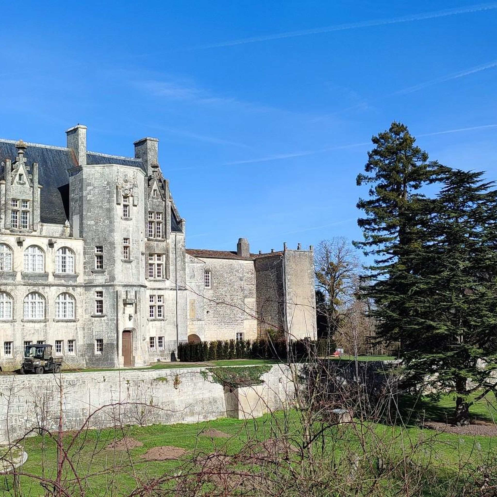
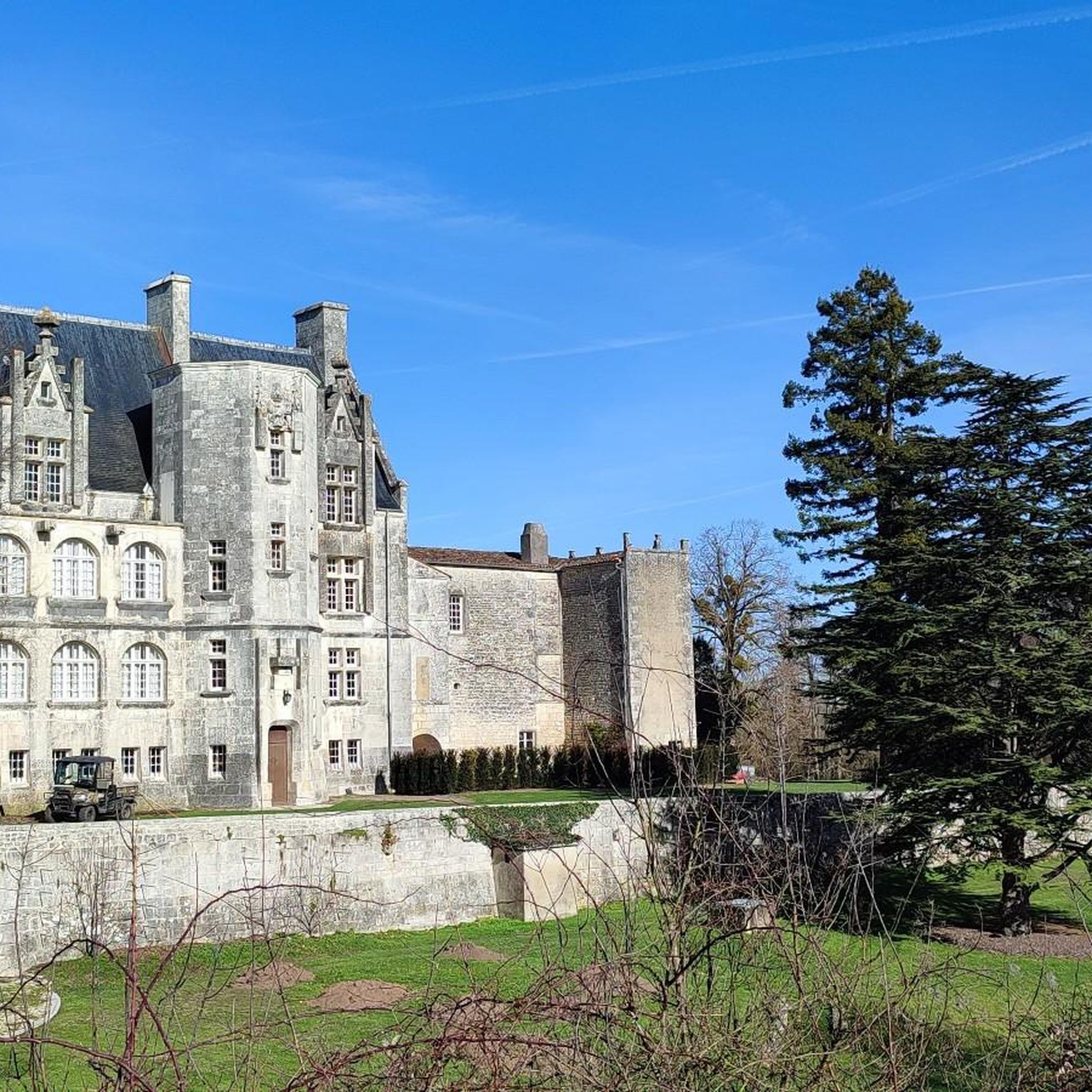
The height of the two pavilions relative to the central body of the castle gave me a hard time identifying this castle. Indeed, the photo was taken from the Charente river, so the perspective is distorted compared to those existing on the WEB, and even AI had some difficulties. However, it was the heritage source that provided a decisive indication: the current main entrance is located to the south, at the end of the park, and opens directly onto the Quai des Fleurs and the Charente river with a gate perfectly aligned with the central body, and which is officially described as having square pillars and wrought iron gates. Note that the castle is private and unfortunately not open to visitors. 1. The estate already existed in the 17th century The Pépinière is therefore not a creation of the late 19th century. In 1660, documents mention Marie de Puyrigaud as "lady of La Pépinière". There was therefore already a noble dwelling at this location. The choice of this location is logical: the property is situated on a hill overlooking the Charente, just above the large shipyard of Saint-Savinien. This shipyard was active for several centuries, from the 13th century until around 1860. The location of La Pépinière thus allowed it to directly overlook the activities of the port and the shipyard. 2. The castle visible on Claude Masse's plan in 1713 In 1713, the military engineer Claude Masse produced a plan of Saint-Savinien and the Charente valley. At the location of La Pépinière, he depicts: a massive construction flanked by three or four towers, preceded by a large garden descending towards the Charente. In other words, the estate then had a much more fortified silhouette than that of the current castle. This also means that the two elements surrounding the central body are part of an ancient architectural tradition of the site, even if the pavilions you see today are not necessarily the old towers. 3. 18th century: outbuildings remain Several buildings around the current castle could be the former outbuildings of the estate. One building located on the other side of the path to La Pépinière notably bears the date 1760, engraved on the keystone of its gate. There were also, towards the Charente, constructions that could have served in the 19th century as housing for employees or the caretaker. 4. 1847: the park is still organized around the old dwelling The eastern boundary wall bears the date 1847. The Napoleonic cadastral map of 1828 still shows the old dwelling surrounded by its park, as well as several annex buildings. We can therefore reconstruct this succession quite precisely: 17th century → old noble dwelling ↓ 1713 → vast house with 3 or 4 towers, according to Claude Masse ↓ 18th century → transformation and development of outbuildings ↓ 1828 → old dwelling still present ↓ 1847 → dated boundary wall ↓ circa 1900 → disappearance of the old dwelling and construction of the current castle 5. The current castle is much more recent as it dates from the very beginning of the 20th century. It was built by J. Lestrade, a contractor from Saint-Savinien, from plans attributed to the architect Georges Naud. The new building was designed with an H-shaped floor plan: -a central body; -two wings forming pavilions; -the pavilions have three levels; -their slate roofs are hipped and very high; -the central body has a Mansart roof. The heritage notice precisely describes these two pavilions as being topped with hipped conical roofs. The two "towers" appear taller than the central body. They are in reality the two side pavilions, which have three levels and whose very high roofs further accentuate this impression.
0
0

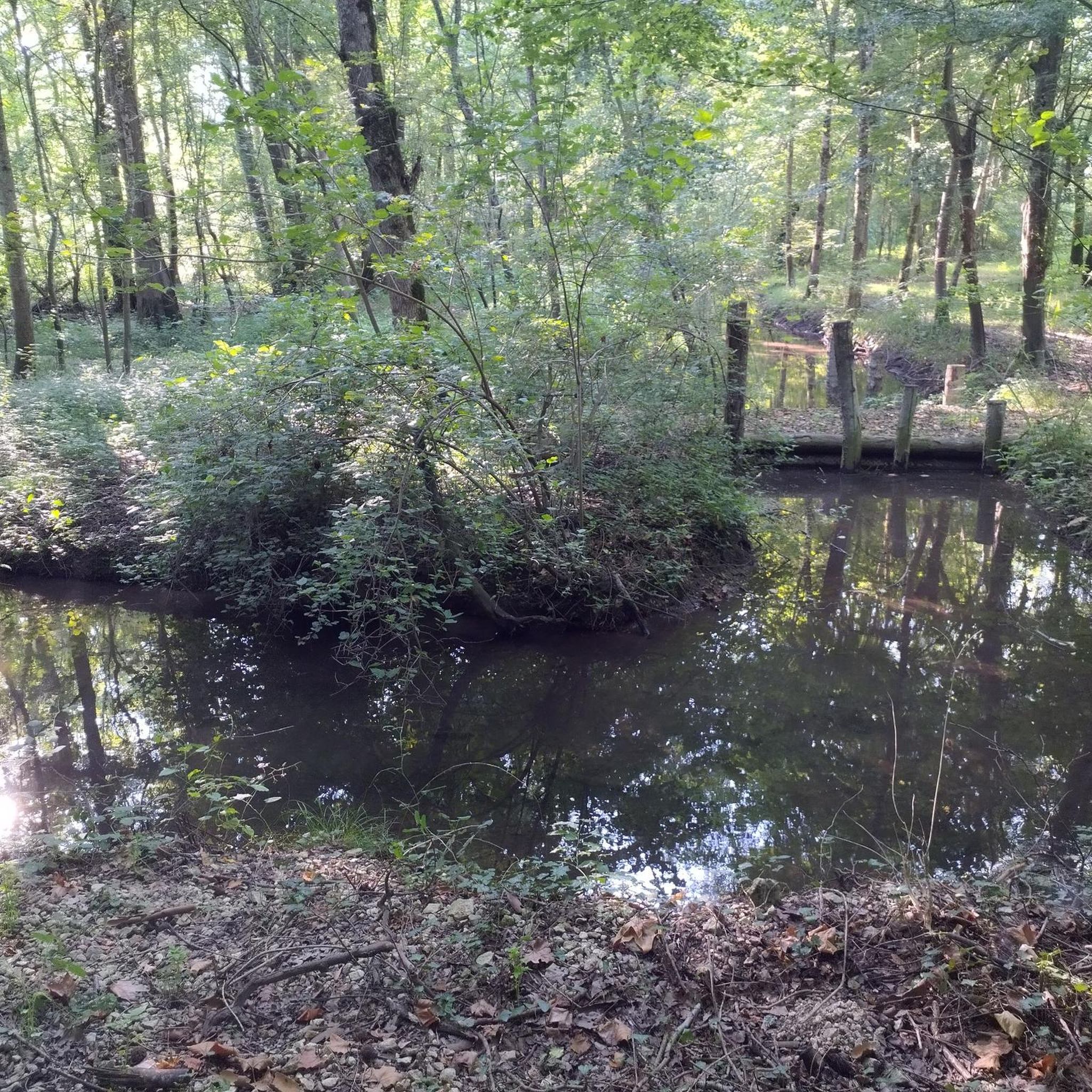
Magnificent forest trail crossing a bamboo forest, explanatory panels, a river, small pontoons and donkeys on the way.
0
0

lovely walk from the Lapidiales to the Standing Stones Galaxy
0
0


Every summer, a select group of sculptors and artists take up creative work in the former quarry, now known as Les Lapidiales, to draw inspiration from their predecessors and put their own stamp on the stone.
1
0

great walk conducive to meditation and reflection with regard to the sculptural works on display. thanks to the artists
2
0


Frequently Asked Questions
How many hiking trails are available around Crazannes?
There are over 50 hiking routes in the Crazannes area, offering a diverse range of experiences. These include 26 easy trails, 29 moderate routes, and one more challenging option, ensuring there's something for every hiker.
Are there easy or family-friendly hiking options in Crazannes?
Yes, Crazannes is well-suited for easy and family-friendly walks, with 26 routes classified as easy. A great option is the Les Lapidiales loop from Port-d'Envaux, an easy 3.9-mile (6.3 km) path that explores the unique open-air sculpture park.
What kind of terrain can I expect on Crazannes hiking trails?
The terrain around Crazannes is generally mild, characterized by gentle hills, open fields, and woodlands. Many trails pass through historic limestone quarries and along the Charente River, offering varied and interesting landscapes.
Are there any circular hiking routes in Crazannes?
Yes, many of the trails in Crazannes are circular. For example, the Crazannes Castle – Les Lapidiales loop from Crazannes is a popular 6.0-mile (9.6 km) circular route that takes you past historic sites and through woodlands.
What are some notable landmarks or attractions to see while hiking in Crazannes?
Hikers can explore several cultural and natural highlights. The Crazannes Castle and the unique open-air sculpture park of Les Lapidiales are frequently featured on routes. You might also encounter historic churches like the Sainte-Madeleine Church of Crazannes.
What do other hikers say about the trails in Crazannes?
The hiking routes in Crazannes are highly rated by the komoot community, with an average score of 4.6 stars from over 80 reviews. Nearly 400 hikers have explored the area, often praising the well-maintained paths, the blend of natural beauty with historical sites, and the gentle, accessible terrain.
Are there dog-friendly hiking trails in Crazannes?
While specific restrictions vary by trail and season, many of the open fields and woodland paths around Crazannes are generally suitable for dogs, especially if kept on a leash. Always check local signage for any specific regulations regarding pets.
What is the best time of year to go hiking in Crazannes?
The mild climate of the Charente-Maritime region makes Crazannes enjoyable for hiking for much of the year. Spring and autumn offer pleasant temperatures and beautiful scenery, while summer can be warm but still suitable for early morning or late afternoon walks. Winter hiking is also possible, with generally mild conditions.
Are there any hikes that follow the Charente River?
Yes, several routes in the Crazannes area offer views of or follow sections along the Charente River. The Stone Trails between Crazannes and Port d'Envaux is a good example, connecting two charming towns and often following paths near the river.
Are there options for longer, moderate hikes in the area?
Yes, Crazannes offers 29 moderate routes for those looking for a longer excursion. The Stone Trails between Crazannes and Port d'Envaux is a moderate 6.7-mile (10.8 km) trail that takes approximately 2 hours 48 minutes to complete, offering a good balance of distance and effort.
Are there any hikes that specifically highlight the limestone quarries?
The region's historic limestone quarries are a defining feature. Many trails, such as the The Lapidiales – Les Lapidiales loop from Crazannes, traverse these unique landscapes, offering insights into the area's geological and industrial heritage, particularly around Les Lapidiales.
Is parking available near the trailheads in Crazannes?
Yes, parking is generally available in and around the villages of Crazannes and Port-d'Envaux, which serve as common starting points for many of the hiking trails. Specific parking details can often be found on individual route descriptions.
Most popular routes around Crazannes
Most popular attractions around Crazannes

Get inspired with the komoot mobile app


Explore more
Browse the best Hikes in other regions.
