The best road cycling routes around Saint-Porchaire
4.6
(46)
957
riders
21
rides
Road cycling routes around Saint-Porchaire, located in the Charente-Maritime department of Nouvelle-Aquitaine, France, traverse a region characterized by varied terrain and historical landmarks. The area features mostly paved surfaces, making it suitable for road cyclists, with routes often weaving through charming villages and alongside rivers. Cyclists can expect to encounter a mix of flat sections and gentle ascents, with some routes offering more significant elevation gains.
Best road cycling routes around Saint-Porchaire
- The most popular road cycling route is Pont-l'Abbé-d'Arnoult,…
Last updated: May 21, 2026
8
riders
54.1km
02:20
240m
240m
Moderate road ride. Good fitness required. Mostly well-paved surfaces and easy to ride.
9
riders
40.6km
01:40
240m
240m
Easy road ride. Great for any fitness level. Mostly well-paved surfaces and easy to ride.

Sign up for free
5.0
(2)
5
riders
29.5km
01:13
170m
170m
Easy road ride. Great for any fitness level. Mostly well-paved surfaces and easy to ride.
8
riders
Easy road ride. Great for any fitness level. Mostly well-paved surfaces and easy to ride.
6
riders
Moderate road ride. Good fitness required. Mostly well-paved surfaces and easy to ride.
Get access to more routes and recommendations from other explorers.
Sign up for free
Already have an account?
Our route recommendations are based on thousands of hikes, rides, and runs completed by other people on komoot.
Start today with a free account
Your next adventure awaits.
Login or Signup
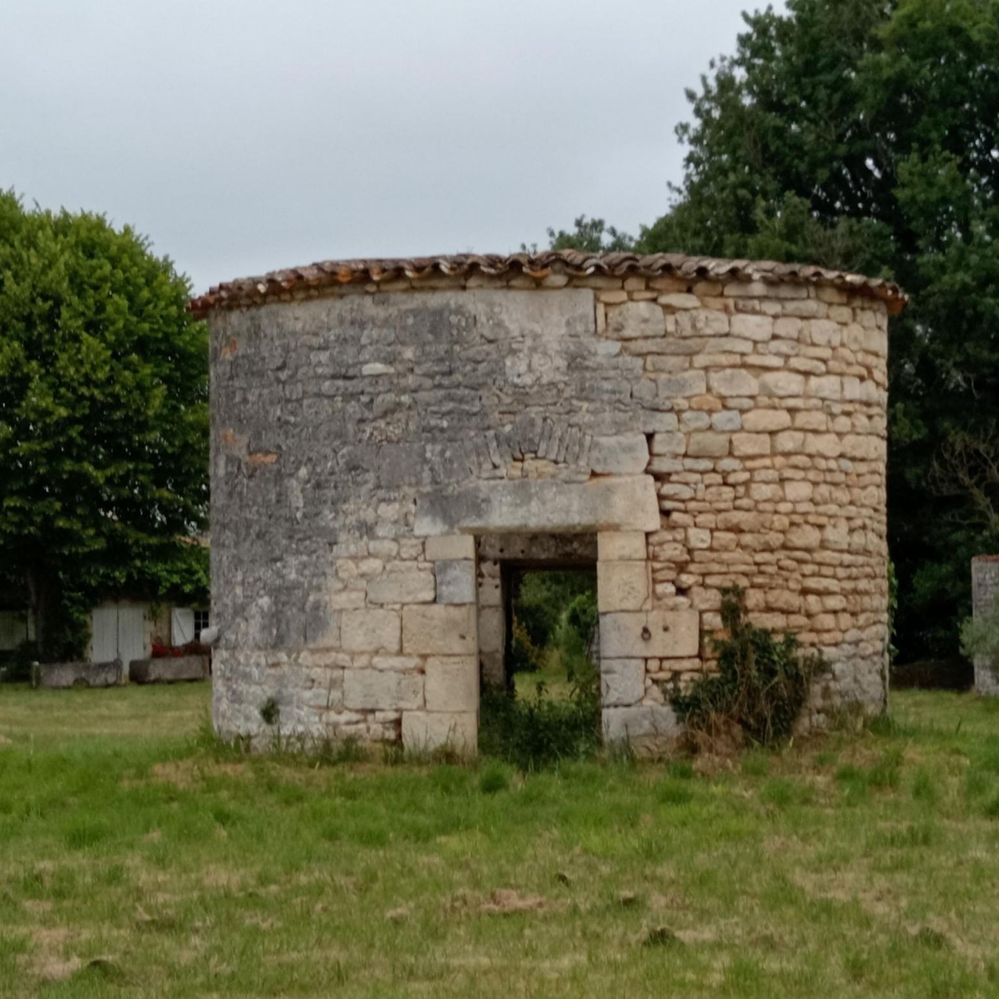

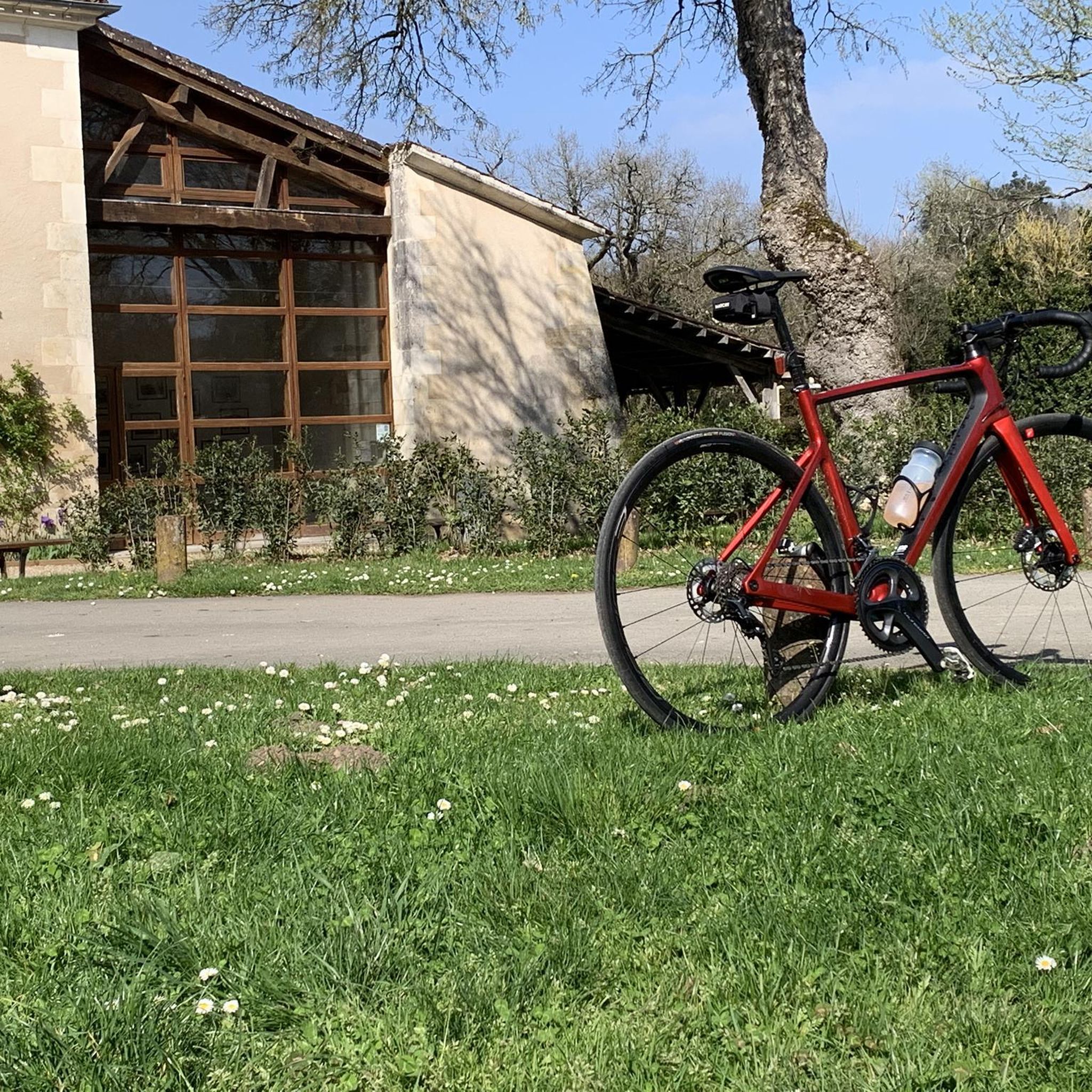


Tips from the Community

It is an absolutely beautiful village.
0
0

Small town with a special charm along the Charente.
0
0


With origins dating back to the Gallo-Roman era, the town of Saintes accumulates sites and monuments like so many layers of a centuries-old history. From the banks of the Charente to the height of the Capitol, there is so much to see along the streets of the city: the Germanicus arch, the thermal baths, the Saint Pierre cathedral, the Jacobins convent, the Musée de l'Echevinage , the Saint Eutrope Basilica, the footbridge over the Charente, etc. The heritage is omnipresent and offers many surprises and viewpoints.
0
0
The Santons people occupied Saintonge during the Gallic era. The Romans conquered the region and settled on the banks of the Charente. The town of Saintes (then designated Mediolanum), located at the western end of the Via Agrippa which linked Lyon (capital of the Three Gauls) to the Atlantic coast, quickly became monumental. At the time of Augustus (27 BC – 14 AD), the city probably became the capital of the province of Greater Aquitaine (Aquitania). This then extended from the Loire to the Pyrenees. Mediolanum is endowed with important public monuments: the amphitheater, the arch of Germanicus, the thermal baths and the aqueduct are still partially visible today. At the time of its peak (end of the 1st century – beginning of the 2nd century), the city must have had several thousand inhabitants. The amphitheater of Mediolanum is one of the earliest in Gaul. It is estimated that its construction began during the reign of Tiberius (14 – 37 AD), and was completed during the reign of Claudius (41 – 54 AD). Like many amphitheaters of the Roman Empire, that of Saintes was located on the outskirts of the ancient city in a chosen and developed site: the “vallon des Arènes”. Thanks to a favorable topography, the builders were relieved of part of their work, the amphitheater resting on the slope of the valley. This elliptical monument, with imposing dimensions (126 meters long and 102 meters wide), made it possible to accommodate several thousand spectators around bloody and violent representations such as gladiator fights (munera) or animal hunts (venationes ). In the 3rd century, the city declined and was entrenched within an impressive rampart, built from the remains of public and funerary monuments from previous decades. The amphitheater is then no longer used. Since the Middle Ages, it has been used, among other things, as a stone quarry. It was classified as a Historic Monument in 1840. It was from this moment that it was gradually restored. Today, despite the disappearance of the superstructures, the remains provide a faithful image of what this monument could have been at the time of its splendor. The site welcomes visitors all year round. Certain objects found during various excavations in the amphitheater district are visible at the archaeological museum.
1
0
Located on a rocky spur overlooking the Charente, Taillebourg has one of the oldest castles in the province of Saintonge. It was also one of the most important in the region in the Middle Ages. This stronghold will allow the city to assert its power and prosper thanks to its port and control of trade throughout the Middle Ages. According to a chronicler, the Château de Taillebourg hosted the wedding night of Louis, future king of France under the name Louis VII, with Duchess Eleanor of Aquitaine. Louis IX (future Saint Louis) made the castle his fortress to launch the attack against the King of England, Henry III. This victorious battle of July 21, 1242 became famous and was represented several centuries later by Delacroix, whose painting can be seen in the Battles gallery at the Palace of Versailles. The castle which had endured all the sieges during the Hundred Years' War and the Wars of Religion was taken and destroyed during the Fronde in 1652. During the Revolution, it was sold in lots as national property. Having suffered from lack of maintenance, the building was the victim of a fire in 1822 and was largely destroyed. All that remains now are the ruins with the ramparts and a tower standing like an emaciated being. It now houses a park which is a haven of peace. To access it from the banks of the Charente, you have to take a small detour through the town.
0
0
The Saint-Savinien church is a Romanesque style building built between the 12th and 13th centuries. The current sanctuary succeeds an ancient priory, cited in a charter of 1039, of which no vestige remains. The adjoining square is pleasantly decorated with statutes representing the apostles.
0
0
Labeled “Small town of character”, but also “Village of stones and water” (an expression which describes this village very well), Saint-Savinien-sur-Charente is a small picturesque village in the Saintonge Romane nestled in a meander of the Charente, nestled between the river and a limestone cliff. The town is remarkable for its houses built right on the water on the banks of the Charente, its district of troglodyte dwellings in the heights, some of which date back to the Gallo-Roman era, its river port, its old buildings and its churches, including the magnificent Romanesque church dating from the 13th century.
0
0
Frequently Asked Questions
How many road cycling routes are available around Saint-Porchaire?
There are over 25 road cycling routes around Saint-Porchaire, offering a diverse range of options for cyclists. These routes are highly rated by the komoot community, with an average score of 4.9 stars from over 19 reviews.
Are there road cycling routes suitable for beginners or those looking for an easy ride?
Yes, Saint-Porchaire offers several easy road cycling routes. For instance, the Saint Saturnin of Séchaud loop from Saint-Porchaire is an easy 25.1-mile (40.4 km) trail that takes about 1 hour 40 minutes, leading through charming local villages. Another easy option is the Crazannes Castle – Saint Saturnin of Séchaud loop from Saint-Porchaire, covering about 18 miles (29 km).
What options are there for experienced road cyclists looking for a challenge?
For experienced road cyclists, the region offers more challenging routes. The Crazannes Castle – Rochefort Transporter Bridge loop from Saint-Porchaire is a difficult 60.9-mile (98.0 km) path with significant elevation gain, connecting two notable historical sites. The region around Saint-Porchaire generally features routes with varying difficulty, including some with up to 500 feet of elevation gain over two hours.
What historical sites or natural attractions can I see while road cycling near Saint-Porchaire?
Road cycling routes in Saint-Porchaire often pass by significant historical and natural attractions. You can cycle past the impressive Crazannes Castle, a 14th-century Historic Monument. The region is also home to the Château de la Roche Courbon, known for its 'stilted' gardens. Routes frequently weave through charming towns like Saint-Savinien, located on the Charente River, and near Saintes, with its ancient Roman Amphitheatre.
Are there family-friendly road cycling routes in the Saint-Porchaire area?
While specific 'family-friendly' designations for road cycling can vary, many of the easier routes with minimal elevation gain would be suitable for families with older children or those comfortable with road cycling. The region's generally paved surfaces and charming villages make for pleasant rides. Always check the route's distance and elevation profile to ensure it matches your family's ability.
When is the best time of year to go road cycling in Saint-Porchaire?
The Charente-Maritime department, where Saint-Porchaire is located, generally enjoys a mild climate, making spring and autumn ideal for road cycling. These seasons offer pleasant temperatures and less crowded routes. Summer can also be enjoyable, especially in the mornings or late afternoons, though it can be warmer.
What kind of terrain can I expect on road cycling routes in Saint-Porchaire?
Road cycling routes around Saint-Porchaire primarily feature mostly paved surfaces, making them well-suited for road bikes. You can expect a mix of flat sections and gentle ascents, with some routes offering more significant elevation gains. The broader Charente-Maritime area also includes 'chemins blancs' (white lanes), which are gravelled roadways, though main road cycling routes typically stick to paved roads.
Are there places to stop for refreshments or accommodation along the cycling routes?
Yes, many road cycling routes in Saint-Porchaire pass through or near charming towns and villages. These often provide opportunities to stop at local cafes, bakeries, or small shops for refreshments. Larger towns like Saint-Savinien and Saintes, which are accessible by bike, offer a wider range of dining and accommodation options for cyclists.
Can I find circular road cycling routes around Saint-Porchaire?
Yes, the majority of road cycling routes around Saint-Porchaire are designed as loops, allowing you to start and finish at the same point. This is convenient for exploring the region without needing to arrange return transport. Examples include the Pont-l'Abbé-d'Arnoult, Trizay et Geay – loop via the canal and the Abbaye aux Dames de Saintes – Cathedral of Saintes loop from Saint-Porchaire.
What do other cyclists say about road cycling in Saint-Porchaire?
The road cycling routes in Saint-Porchaire are highly regarded by the komoot community, holding an impressive average rating of 4.9 stars from over 19 reviews. Cyclists often praise the varied terrain, the picturesque landscapes, and the opportunity to encounter significant historical castles and natural beauty spots directly from the saddle.
Are there routes that follow rivers or canals?
Yes, the region's proximity to the Charente River means that some routes offer tranquil riverside scenery. For example, the Pont-l'Abbé-d'Arnoult, Trizay et Geay – loop via the canal provides scenic views along a canal, offering a different kind of waterside experience.
Are there options for longer distance road cycling in the region?
Absolutely. For those seeking longer rides, the Crazannes Castle – Rochefort Transporter Bridge loop from Saint-Porchaire is a substantial 60.9-mile (98.0 km) route. The extensive network of roads in Charente-Maritime allows for combining routes or extending rides to cover significant distances, catering to endurance cyclists.
Most popular routes around Saint-Porchaire
Most popular attractions around Saint-Porchaire

Get inspired with the komoot mobile app


Explore more
Browse the best Road cycling routes in other regions.
